

36.21191, -116.87277
I picked up where I left off last year, at the mouth of Sheep Canyon on the east side of the Badwater Basin. The route would take me directly across the basin, some 280 feet below sea level, to its west side.
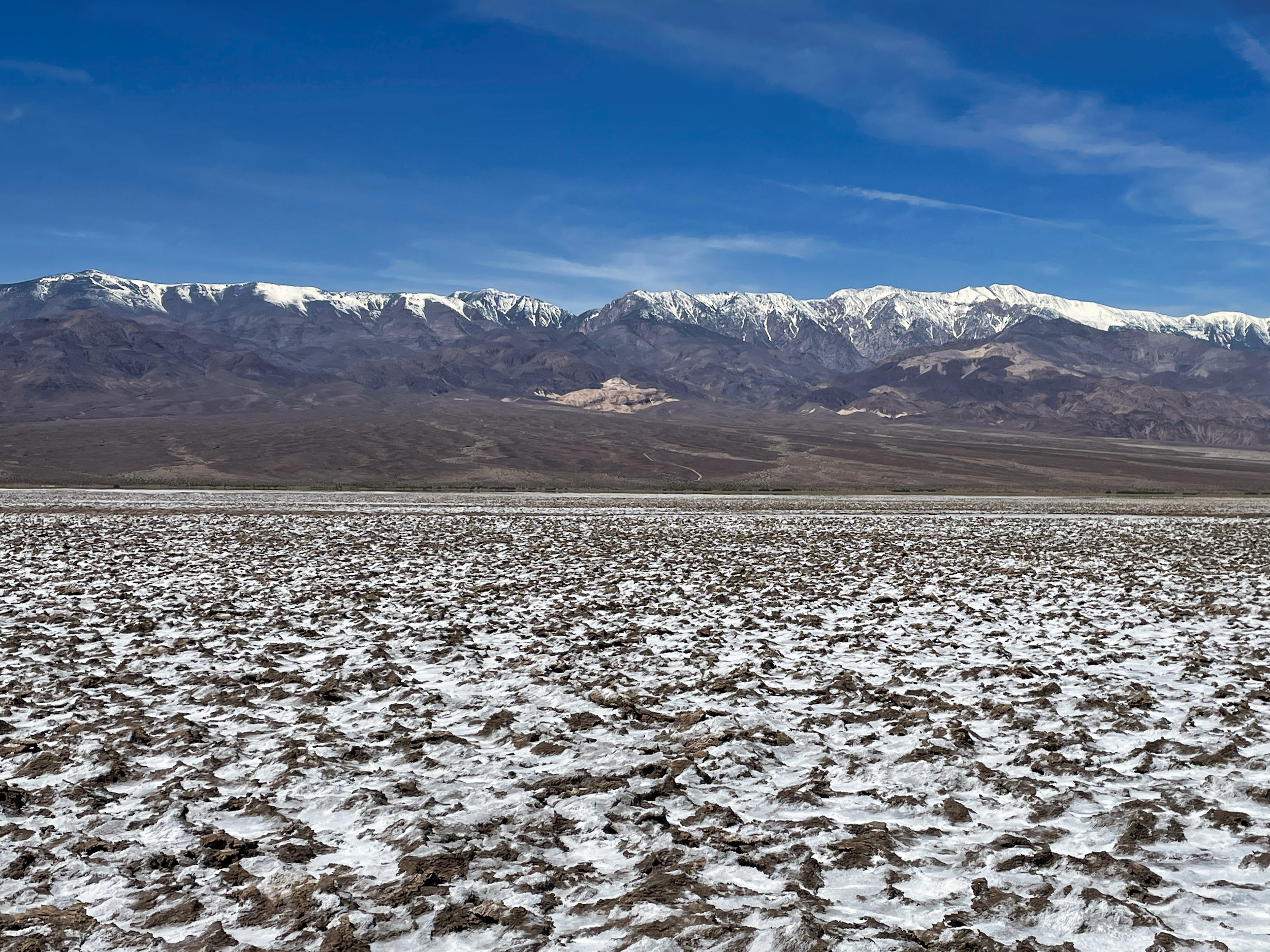
The playa, being a dried up ancient lake bed, is almost perfectly flat. There would be no climbing involved. But the walking can still be treacherous, and this might well be the sketchiest part of the hike. It has been an historically wet winter in California (although not so much in Death Valley). Any standing water on the playa would turn the footing to deep slimy mud, all but impassable.
Even if dry, there would be stretches where the salt and mud had crystallized into foot-high razor-sharp spikes that would make for slow going.
But there is no telling how a route will turn out until you actually hike it. What fun would it be if everything was easy and just as you expected? I turned west, located a clump of mesquites on the far side to steer by, and started walking.
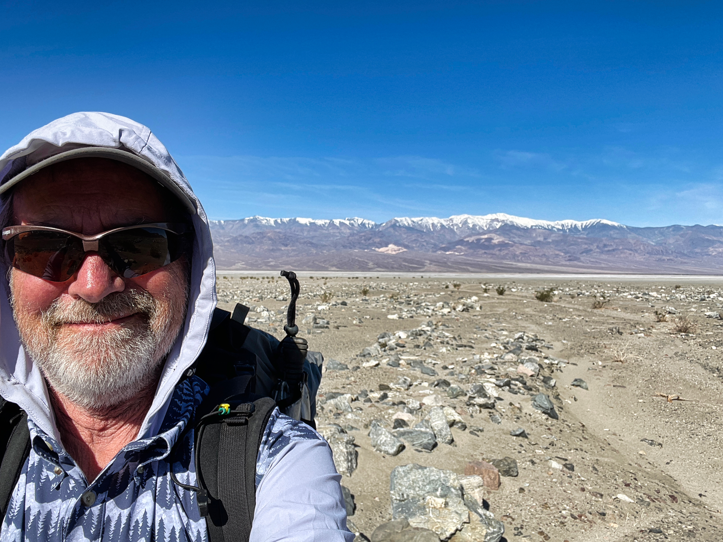
The flatness of the playa plays tricks with your perception of distance. If I had no map, I would guess it to be no more than a mile to those mesquites. Instead, after 3 miles of walking I was only half way across, and those mesquites looked no closer than when I had started.
My fears of deep mud were unfounded. The footing was damp in places, but I never sunk in more than an inch or so. I probably hit it at its easiest- damp enough to soften the salt spikes but not so wet that the mud was a challenge.
The stretches of salt flats were very cool. Perfectly flat tiles of salt extending off into space, bracketed by tall steep mountains. There are not many places on the planet like this.
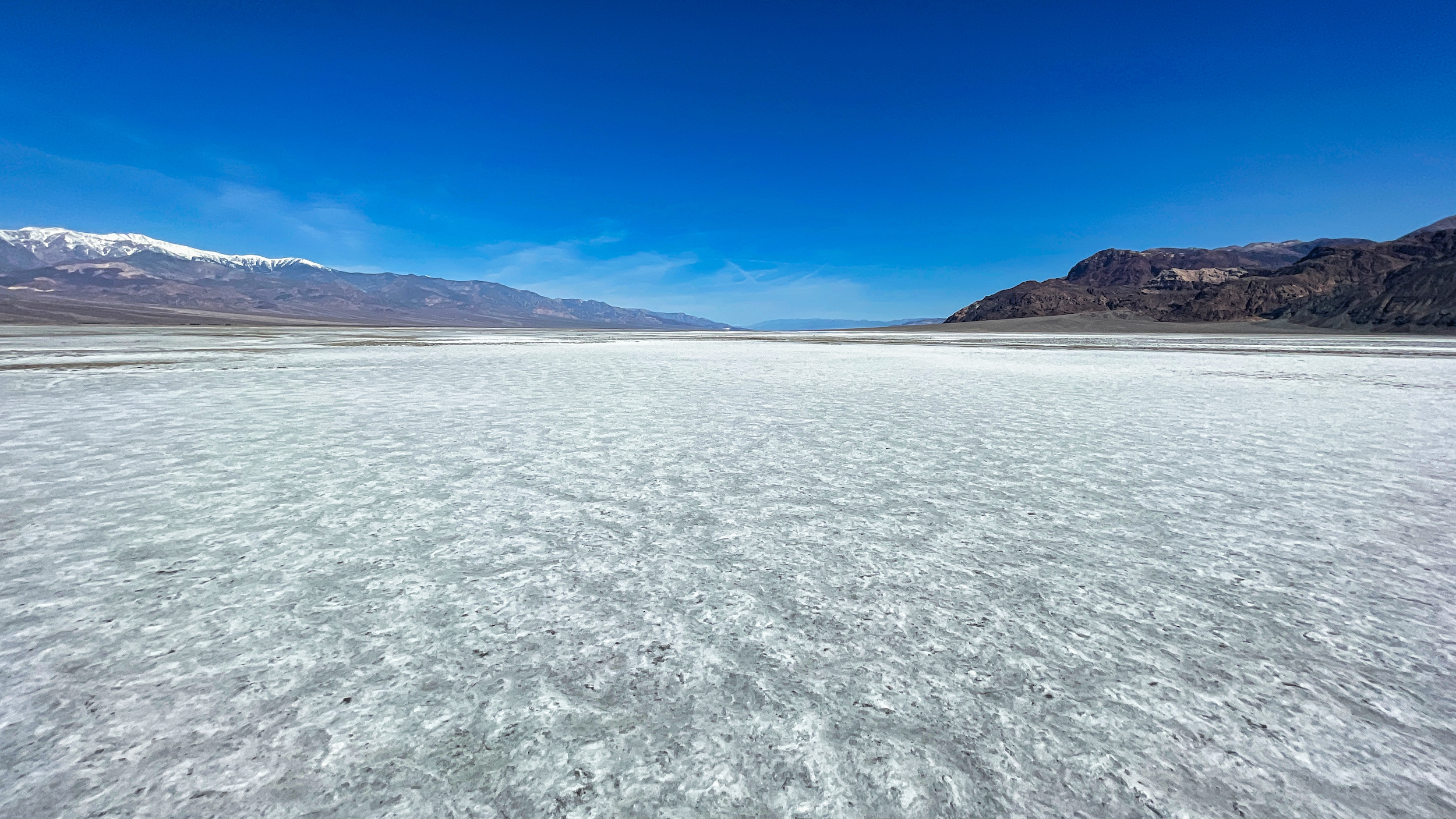
Across the flats
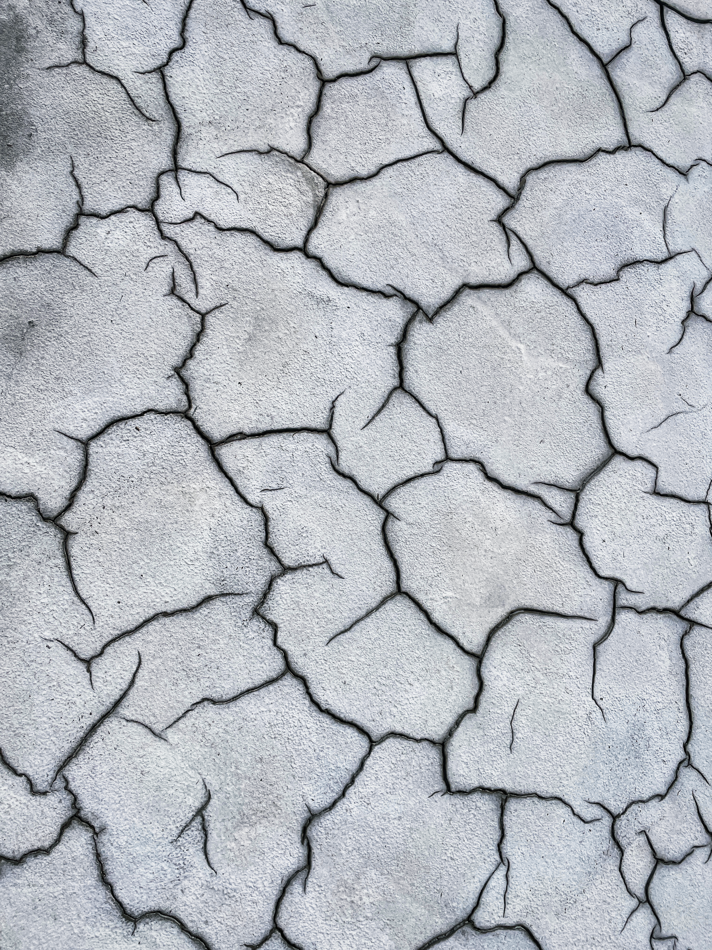
salt puzzles
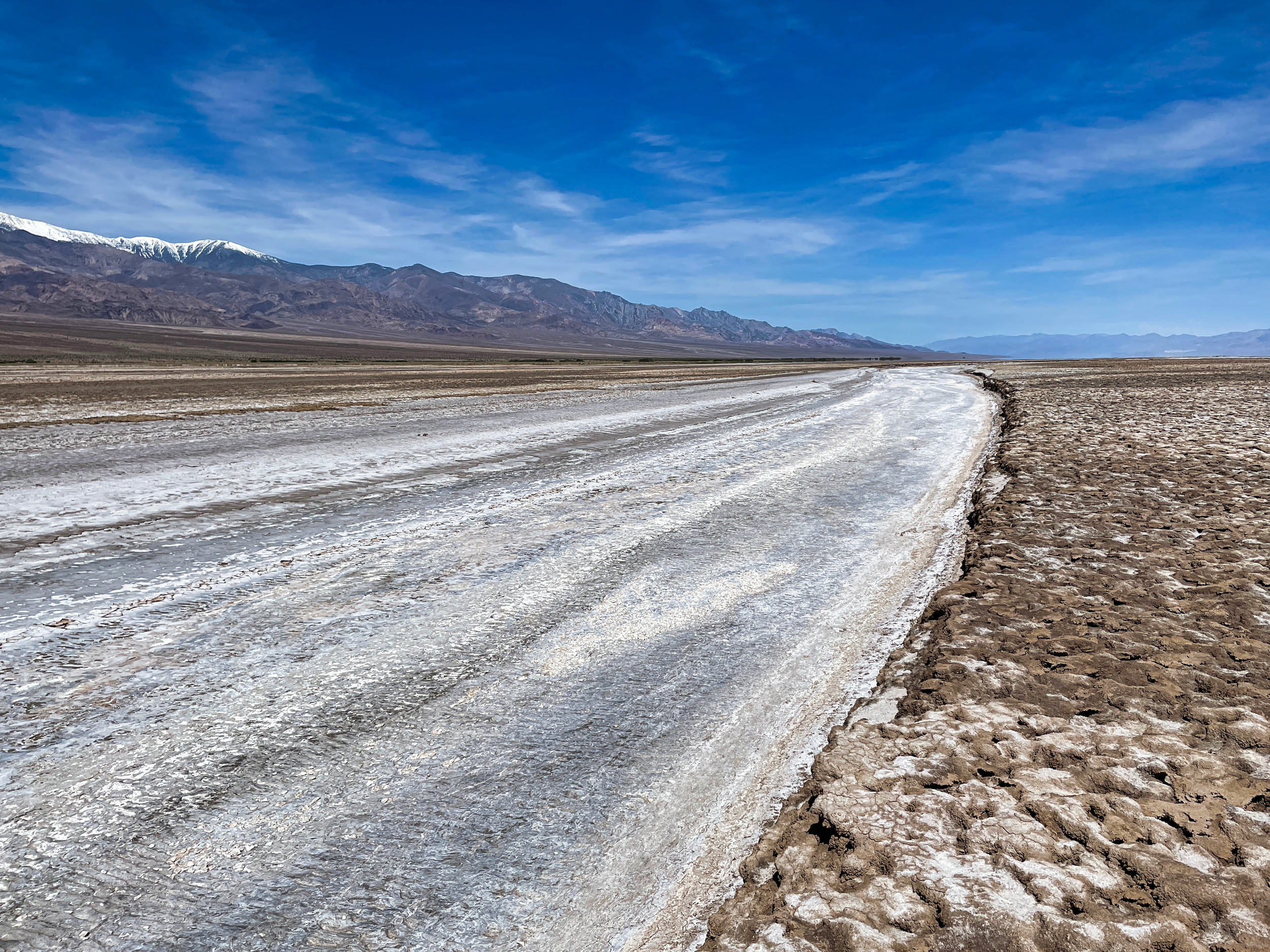
Channel of the Amargosa River
Soft salty mud
I eventually made it across, found some shade under the mesquites and took a long break. For the next 20 miles or so I’ll be following the dirt road that contours around the west edge of the basin.
I hiked it another 8 or 9 miles, then cut up west on to the alluvial fan to find a well-situated campsite (camping is not allowed on the playa). The evening’s entertainment was watching the shadow of the Panamints creep up the wall of the Funeral Range.
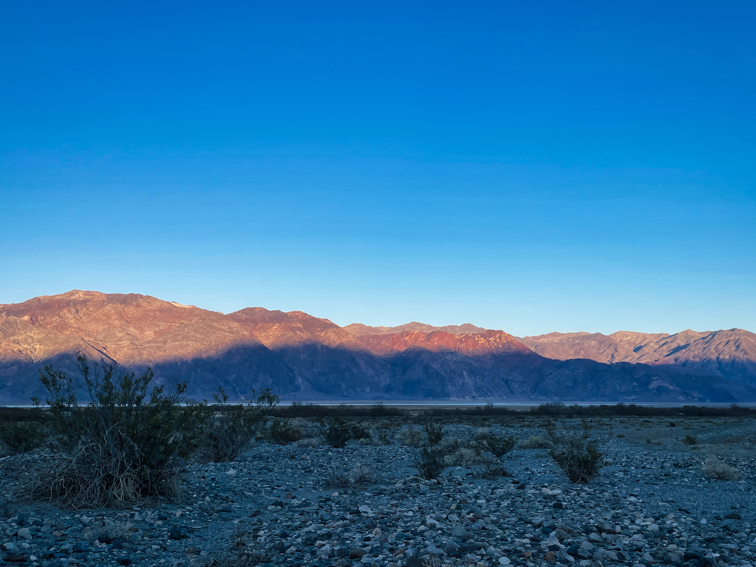
Shadows of the Panamint Range on the Funeral Range
Amazingly there are mosquitoes. Didn’t think to bring repellent or a headnet. Where they are breeding I can’t say. I haven’t seen any standing water and Badwater is a couple of miles away and is unlikely to support mosquitoes anyway. Maybe the Amargosa is a mosquito flyway.