

My tarp held up fine through the windstorm last night. Until the wind reversed direction at about 6am and turned it from a wind shelter into a sail. The front stakes finally pulled out and it flipped over while I was answering nature’s call. But the back stakes held and I only had to chase down a few items that were headed for points south.
The wash got smaller and smaller as I approached the head of the valley. The walking was no longer so easy. When I crossed the road, I opted to follow it north. Although this has felt like a wilderness trip, in truth I have never been more than maybe 3 miles from a road the entire time. But other than seeing the occasional headlight moving along at night, you would never know it.
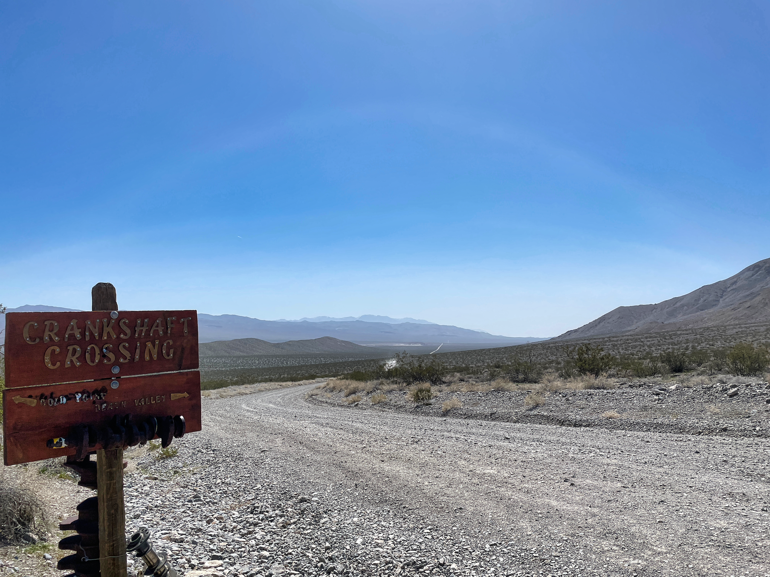
Crankshafts included
The climb then began in earnest. I started the day at 2800 feet and ended up camped at about 6400. The vegetation greened up considerably and there were even a few flowers.
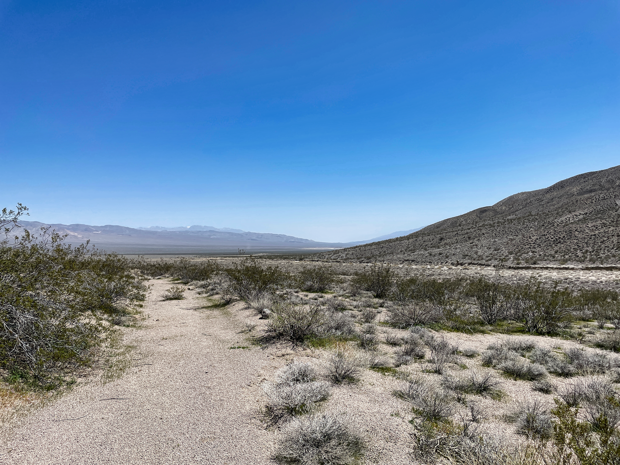
Last look back at Death Valley
But the toll of the drought was unmistakeable. The greenery was mostly annuals, mostly grass–their seeds can lay dormant for years waiting for rain.
The perennials have not fared so well. The saltbrush, rabbitbrush and sage are mostly dead. Only the creosotes, the ultimate survivors, have made it through.
Death Valley Wash becomes Last Chance Canyon as it leaves the open valley and steepens and narrows. A few miles up I saw more waterbirds (mallards) and then a bit of water began trickling down the canyon floor.
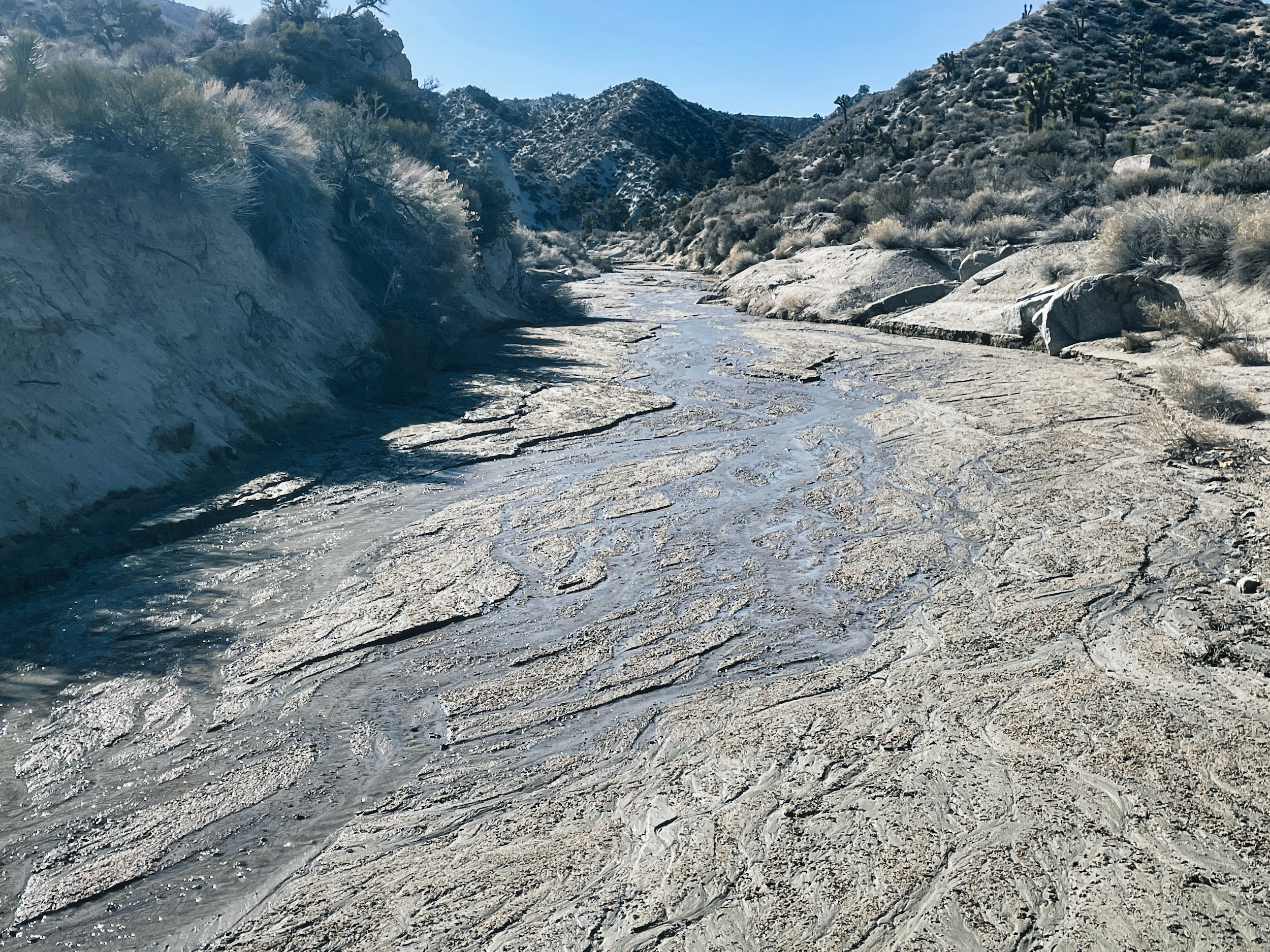
Last Chance Canyon
It is being fed no doubt by the plentiful snow in the mountains. The Desert Trail route follows the crest of the Last Chance Mountains, going up to about 8500 feet at the summit. Snow line looks to be 6500. That would be a lot of snow travel for a desert hike. Sticking to the valley floor turned out to be a good call.
The canyon continued to narrow and steepen, with some fairly rough going in spots. More alarming was the presence of fresh mountain lion tracks, some of them still filling with water. I stopped frequently to survey above and behind me. Not in hopes of spotting the lion–if it wanted to remain hidden I would never see it–but to let it know that I knew it was there and would not be taken unawares. I have no idea if this is effective, but it’s not like I had better options.
The last half-mile push to the crest was a beast. The footing was soft crumbly dirt at the angle of repose, causing me to slide back down with every step up. But I got there eventually, then started down a gully to intersect with the road that would take me down to Willow Spring, my final water source.
The spring was heavily overgrown, but after half an hour of thrashing around I located a surprisingly small puddle–equipped with a wildlife cam–that I dipped out of. The surprise was that I was well into the snow zone at this point and was expecting the spring to be gushing.
I followed the road upward, hoping to make the NV state line for my camp. But the snow cover became deeper and wider, and I stopped at a dry spot about half a mile short of the border.
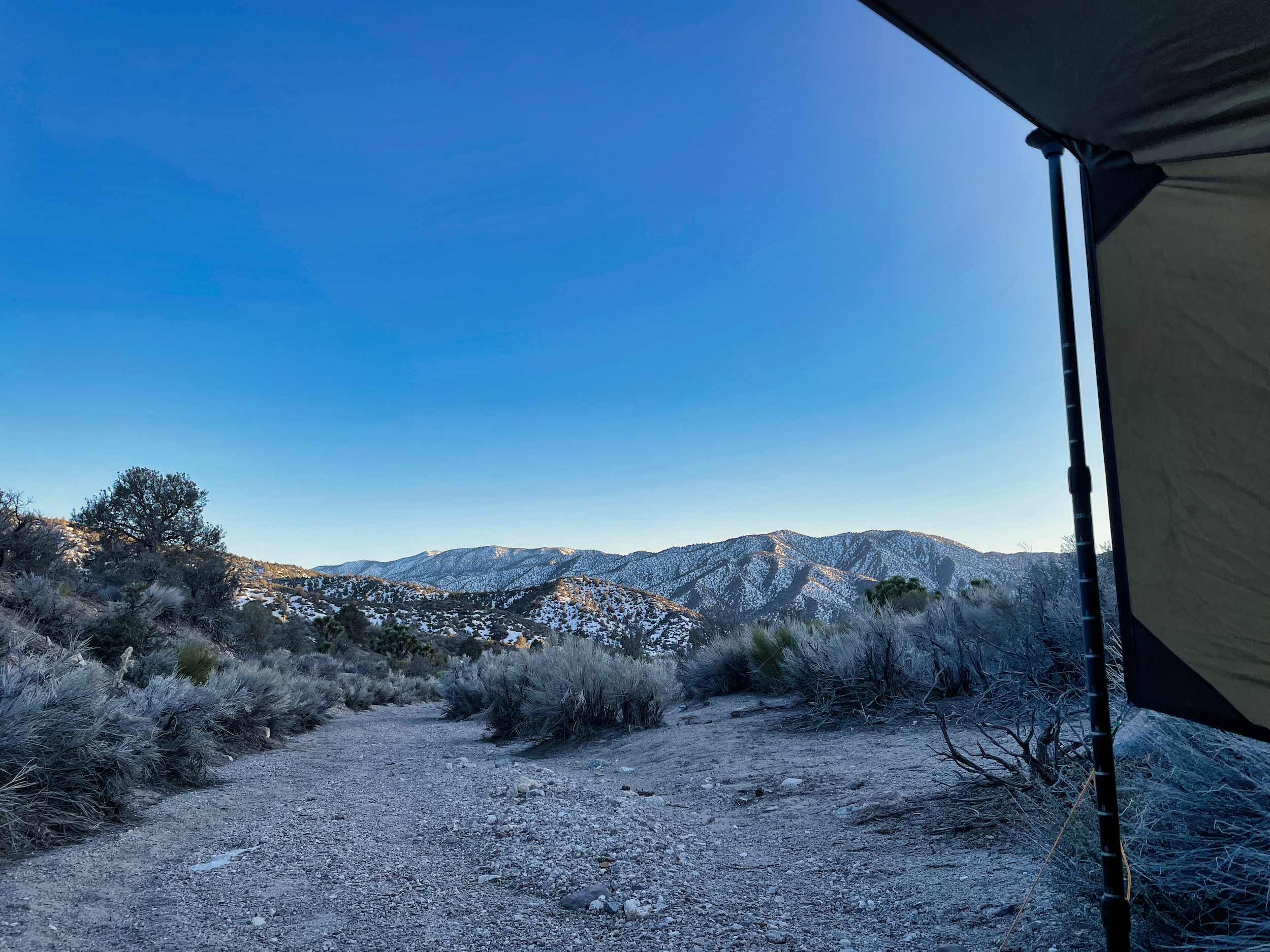
Looking out on the snowy hills from my camp
After days in the moonscape of Death Valley, where I struggled with the heat, I was now in a classic pinyon-and-juniper forest surrounded by snow banks.
I think that means I have traversed pretty much the entirety of the California desertscape from the Mexican border north. This journey is near its end. Now I just have to work my way through the snow to get to the highway and my exit.
37.345306, -117.685951