36.78580, -117.25209
The NWS forecast for the next two days is highs near 100F. Yet I lingered at Stovepipe for the sake of a thoroughly mediocre buffet breakfast. This was a mistake. Although I was walking by 8:30, it was already hot.
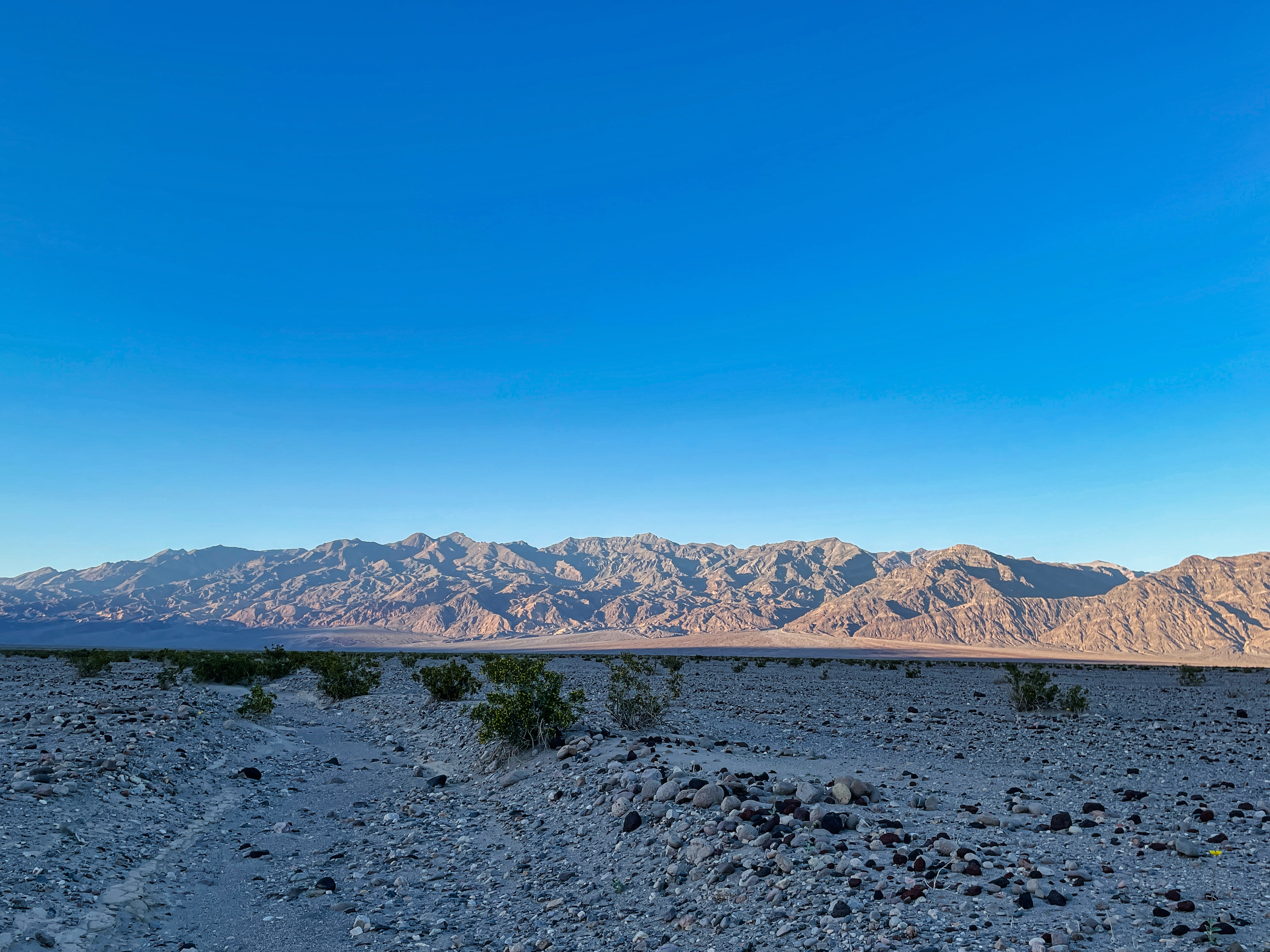
The first few miles were through the dunes. The walking surface was pretty good, and there was shade from the occasional large mesquite for my morning break.
Things got gnarly after that. The dunes gave way to dry mud flats again. These were much softer than the ones I encountered between Badwater and Stovepipe. I was sinking in 2-3 inches with every step. The temps were well into the 90s and there was very little breeze. I slowed my pace considerably, yet the sweat ran off the brim of my hat in a steady drip. I felt lightheaded and wobbly-legged, sure signs of incipient heat exhaustion.
Fortunately another belt of mesquite dunes appeared, and I scrunched up in the shade of one of the larger trees for a couple hours.
But I hadn’t gotten very far yet and so started hiking again, albeit slowly, at 3:30. The dunes gave way to mud flats once more, but then the valley floor began an upward tilt. The slopeage was slight, but enough to give some form to Death Valley Wash, changing the footing from mud flats to a sandy/gravelly wash bottom. This made the walking much easier.
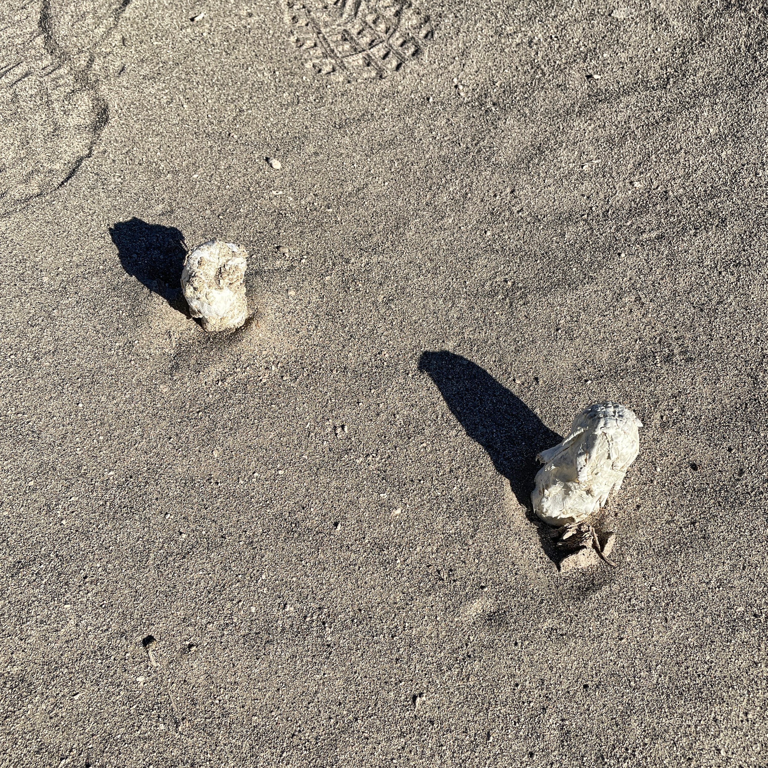
Vegetation began to appear, changing the landscape from lunar to desert. There was even a pair of bedraggled looking mushrooms poking up out of the wash floor.
After roasting me for a couple of hours, the late afternoon sun mercifully dropped behind the Cottonwood Mountains and I could pick up the pace a bit. I walked until dark (8pm), then laid out my ground cloth, sleeping pad and sleeping bag, and threw myself down, completely beat.
My appetite had vanished. I ate some salty snacks and fruit to replenish electrolytes but otherwise skipped dinner. I did drink the Modelo tall boy I bought at Stovepipe. Sadly, it was unsatisfying–not nearly as satisfying when warm as a Coors. Still good as a rehydration drink, though.
I think I am past the hardest part of this hike. It’s all uphill from here (of course it is–I started from below sea level), but I can do uphill. It’s the rocks and the dry mud on the valley floor that are kicking my ass. I’ve got half a dozen blisters in unusual spots, the result of my feet being twisted this way and that over the rough terrain. Not what I expected.
But one doesn’t go hiking off trail into the blank spots on the map in order to find the expected, does one?