

A leisurely morning spent watching the sun slowly light up Telescope Peak. I had only 8 or so miles to go by 4pm. That shouldn’t take too long.
I would be netting a big downhill. My camp was at 4000 feet, and Badwater is of course below sea level. I did start off going downhill into Gold Valley a few hundred feet. And then because you can never go down without first going up, I climbed a thousand feet to the ridge marking the rim of Sheep Canyon, my route downward, topping out at about 4500 feet.
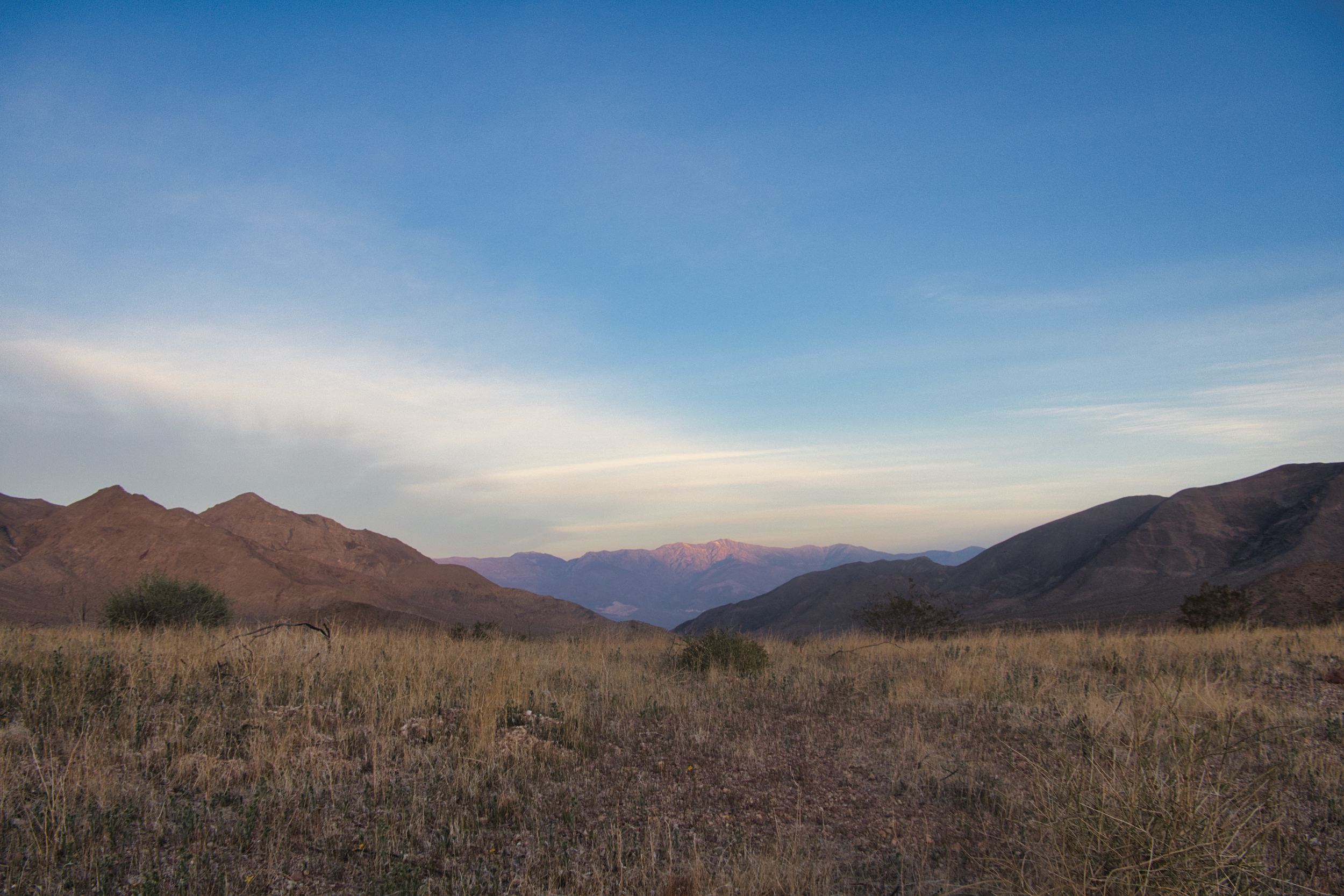
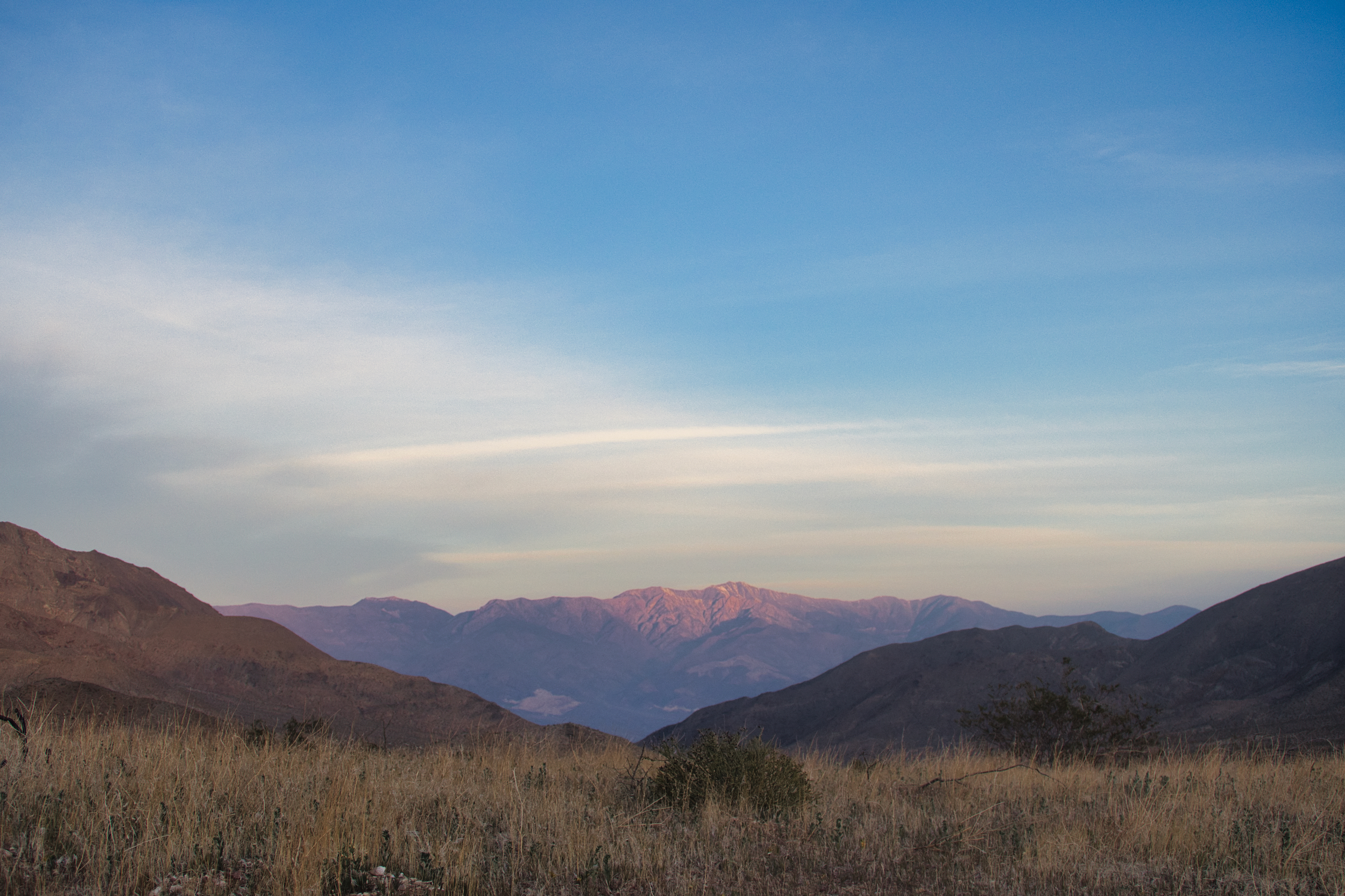
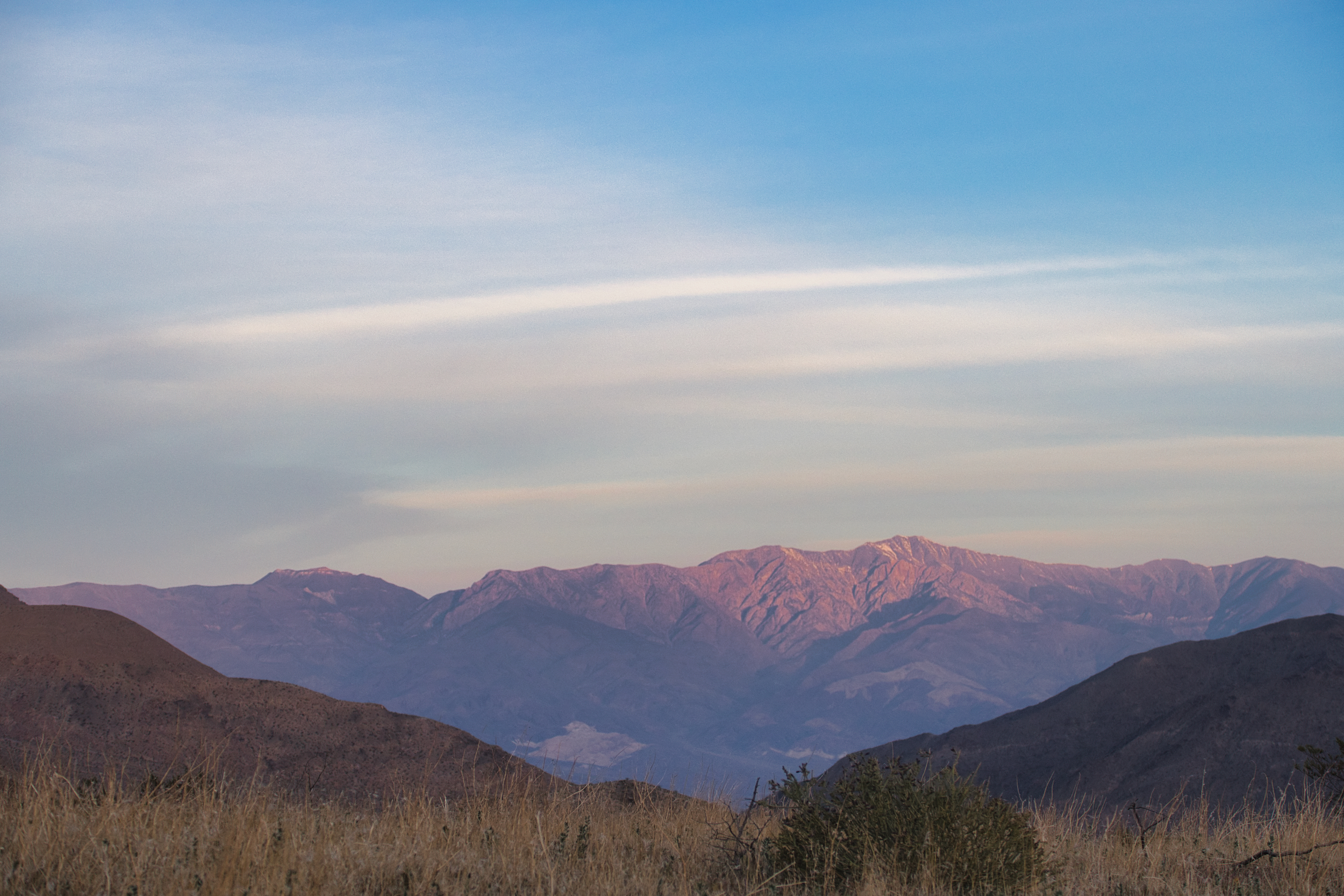
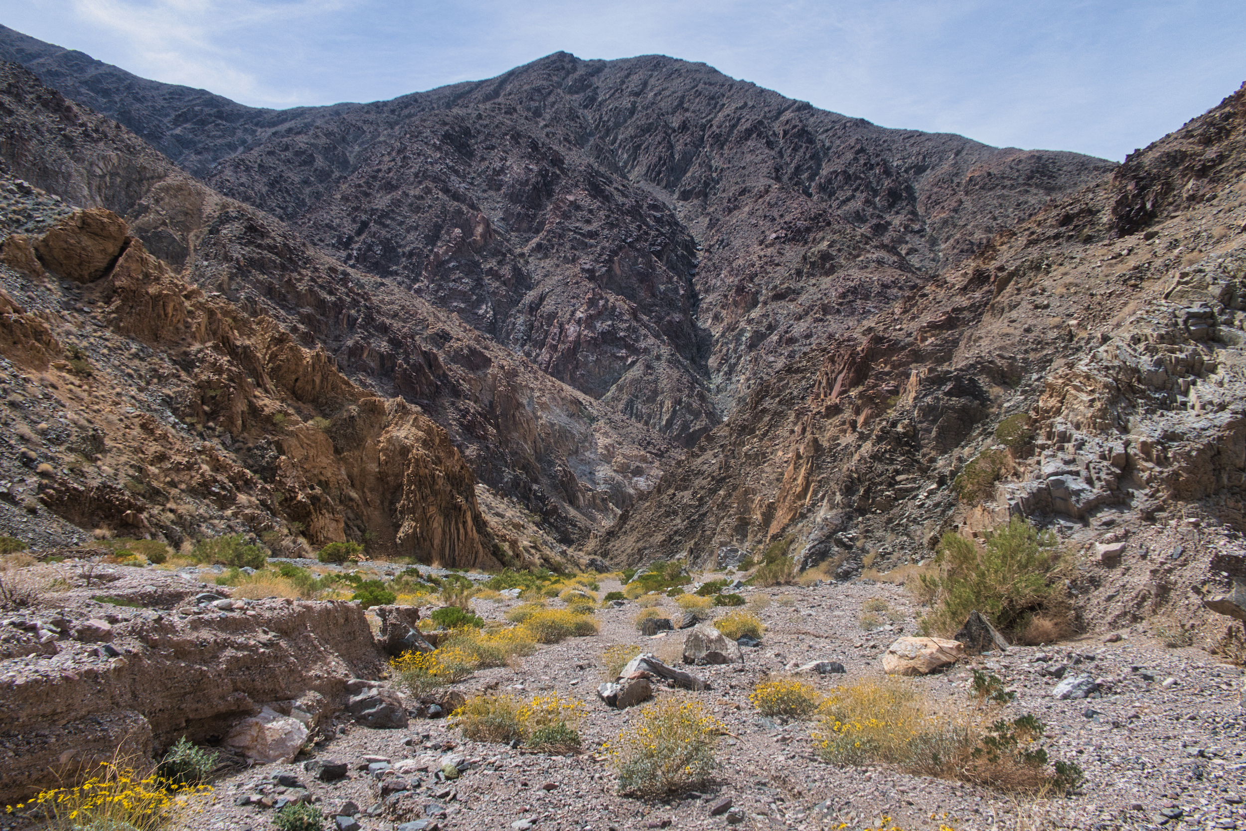
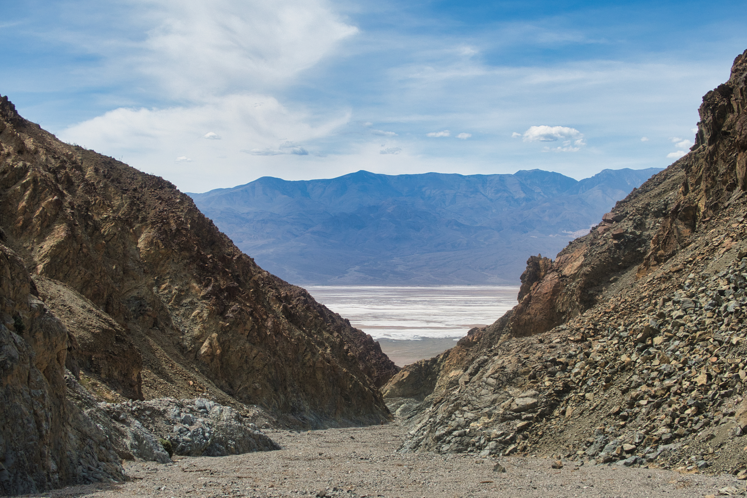
The view was magnificent: the Panamints and the Valley, tall and wide and splendid. The Funeral Range ahead and Sheep Canyon below.
Way below.
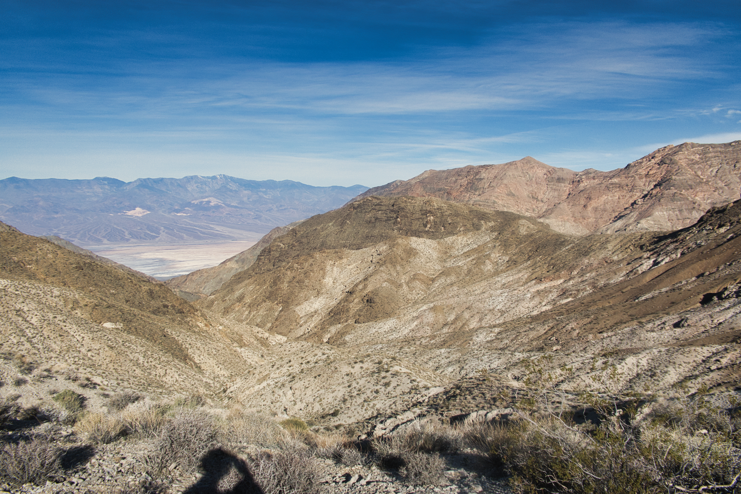
I couldn’t actually see the canyon bottom. But I could see about five hundred feet of downclimb over loose rock and gravel sitting at approximately the angle of repose. That would bring me to a ledge that was steeper but presumably rockier. Likely to be more scrambling, but less sliding on loose rock. Time to go.
But instead I stayed.
Maybe it was a hangover from my earlier encounter with a steep gravelly slope back in Amargosa Canyon. A feeling of “I’m too old for this” swept over me, doubt mixed with a bit of fear. This slope was totally doable – it is part of the DT, a known route – but was it doable by me? Without getting hurt? My balance began deteriorating in my 50s, my strength a decade after. And my judgement? Is that going too? It’s easy to tell when you are not as strong. But how can you tell when your mind is less capable of making good decisions?
My ability to do these kinds of routes has to end sometime. What if sometime is now? How will I know – other than by failing?
I supposed I would find out soon enough. I located the main gully, which had a bit more solid rock footing, and headed down slowly and deliberately. I reached the side canyon ledge which was an easy climbdown and then the gully began to flatten out as it approached the main canyon course.
There were a series of three dryfalls, 15-20 feet in height. I perhaps could have climbed straight down but opted to line my pack down each, as there was a narrow ledge or chimney on each one that would have been awkward with a pack.
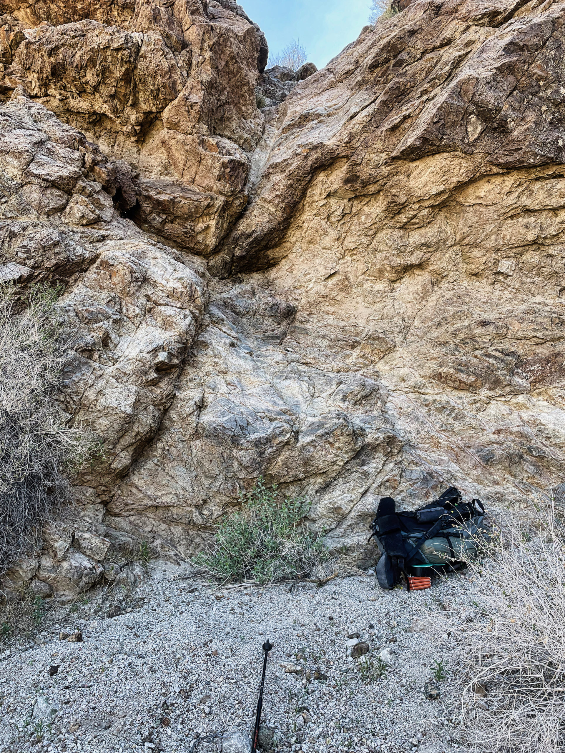
My pack awaited me at a dryfall bottom
After that the way was clear. There was even a section where flowers were blooming, a spot where perhaps water does not quite make it to the surface to form a spring, but is close enough for deep-rooted desert plants.
A surprise flower patch
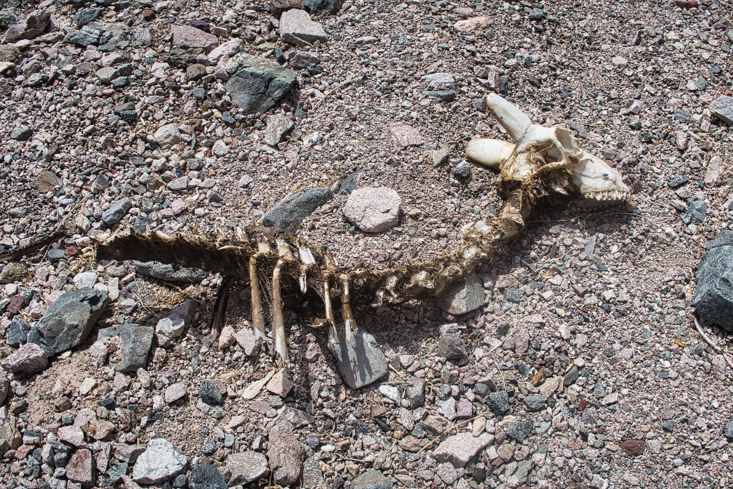
This little guy didn’t make it
Halfway down a young woman was walking up the canyon, a ranger dayhiking on her day off. She was the first person I had seen since zeroing at Shoshone.
“How far up did you go – did you make it past the dryfalls with that pack?”. She did not know about the Desert Trail, was amused to learn that one could hike here from Mexico. If one should desire to do so, that is.
I continued plunging down into the bowels of the earth, the rock looking more ancient, more wracked with the weight of time, buckled and broken and weathered. But still there.
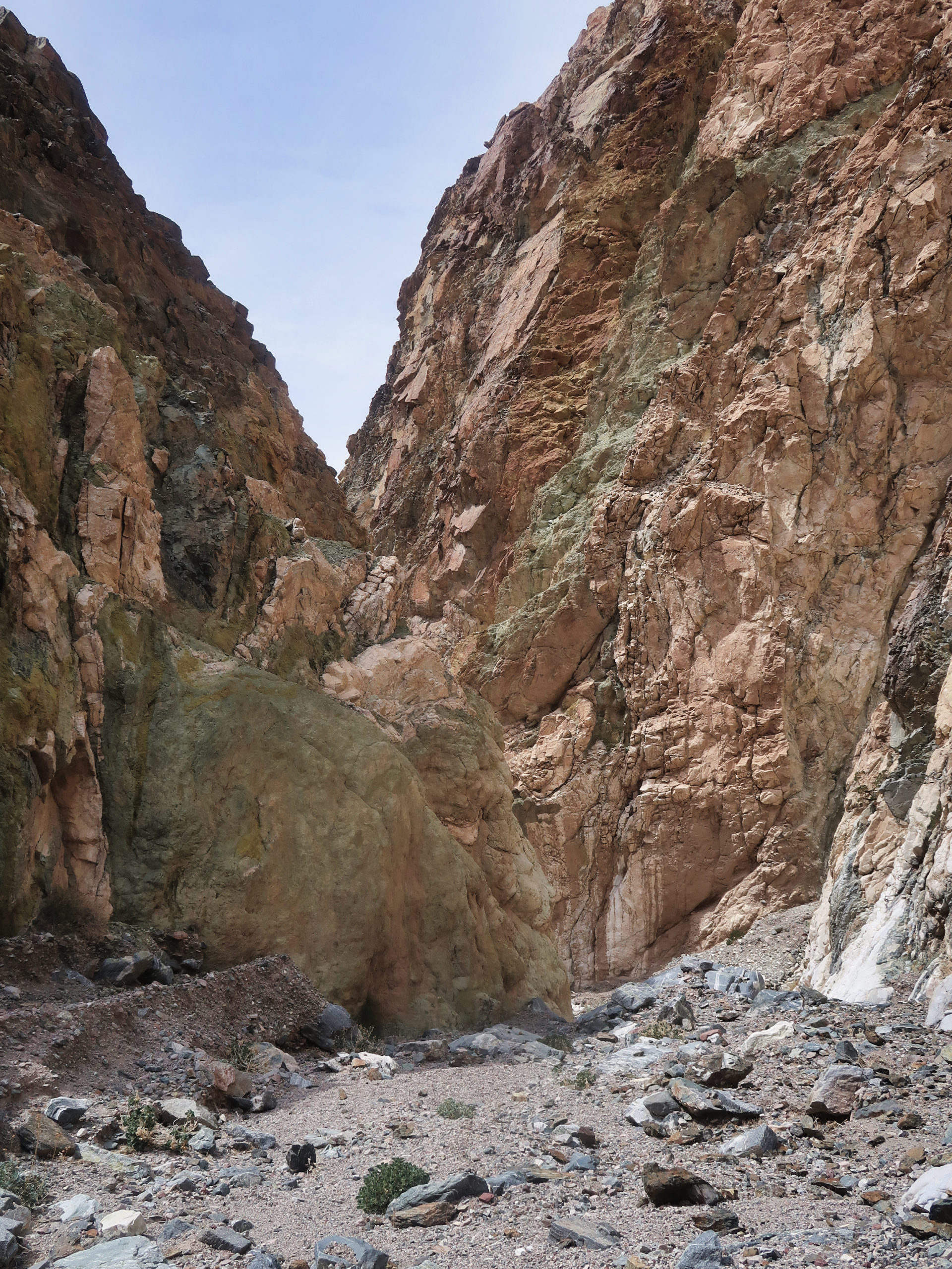
The rock feels very real here
The canyon opened out, I could see cars along the road. It wasn’t much farther to the road, but this was the place where floods lost their power and dumped their loads of rock. The last mile of alluvium was a pile of loose rocks of all sizes, bisected by an occasional sandy channel. The channels provided easier walking, but they were short and tended to wander off to the side.
Once again the wind was too rowdy for me to deploy my umbrella. The air temp was pushing one hundred. My brother dug out a cold beer from his cooler and I slammed it down in seconds, thirstier than I realized.
I located my cache and dug it up and called it a hike. I was a bit disappointed not to have made it all the way to Stovepipe Wells, but also relieved not to have to cross the notoriously treacherous playa in shoes that were worn thin. The trail will still be here next spring.