The easy striding of yesterday ended immediately as I began climbing up into the Coxcomb Mountains. The mountains are so named for a spine of spires along the ridge that looks like a rooster comb. It also looks impenetrable from below. But the high alluvial valley I camped in last night turns into a rocky but passable canyon, and that canyon turns into an even rockier but climbable couloir that slips between the teeth of the comb.
I started out by heading up the wrong rocky canyon, coming to an impassable cliff and thinking “I can’t climb that”. Only then did I check my map and discover that the more-hidden rocky canyon to the left was the one I actually wanted.
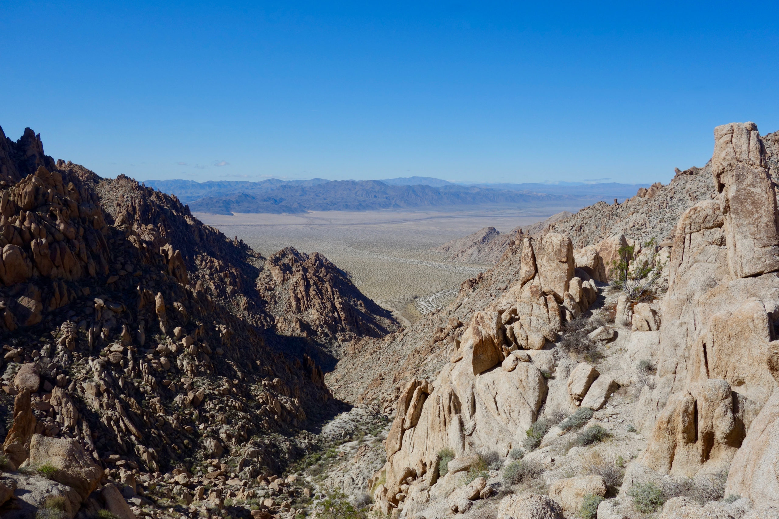
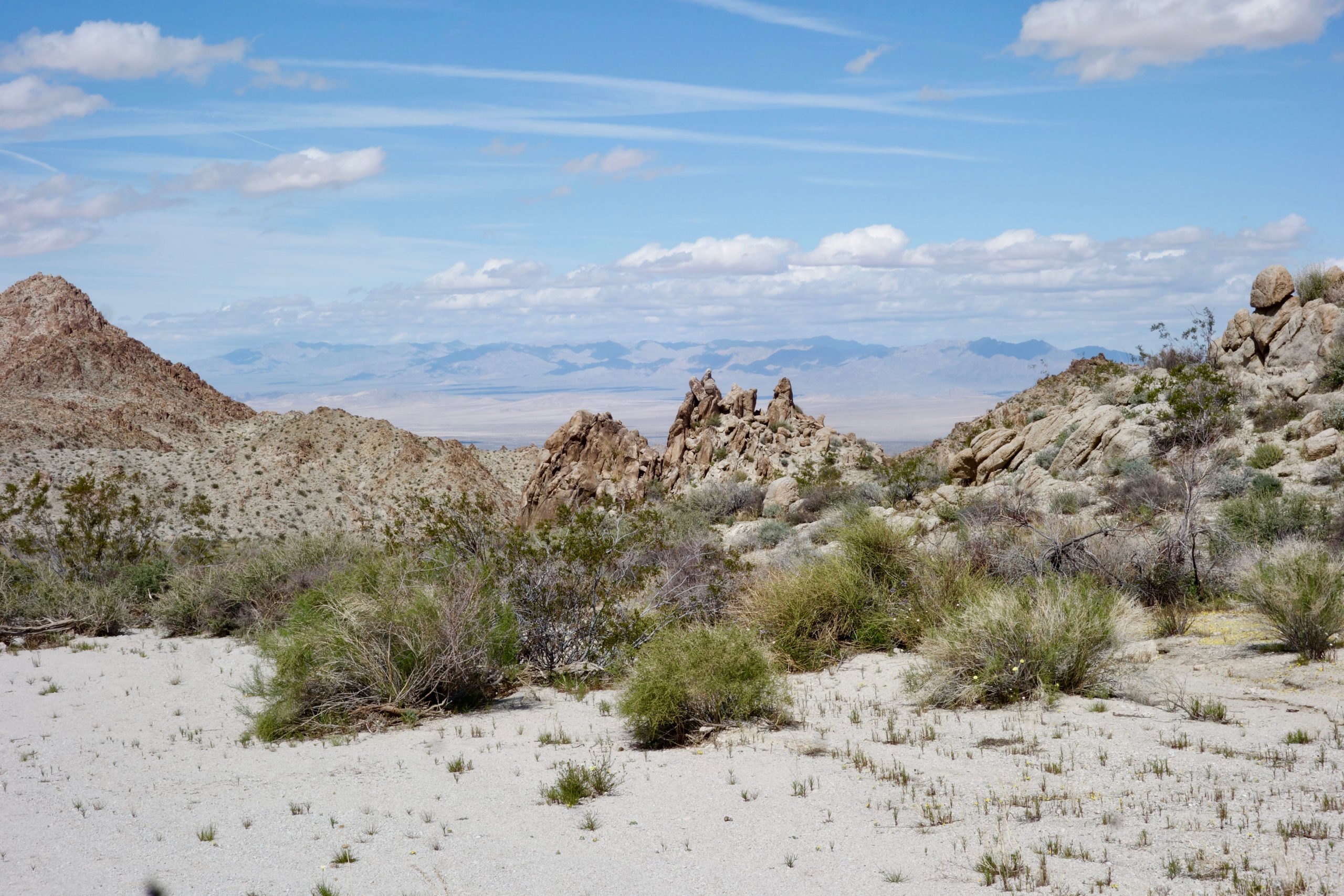
It was maybe a mile to the top and a 1500 foot climb and it took nearly two hours. Slow going, but nothing too harrowing or strenuous. Just steadily working my way up the couloir, rock by rock. The reward was fine views from the top through the notch in the mountain
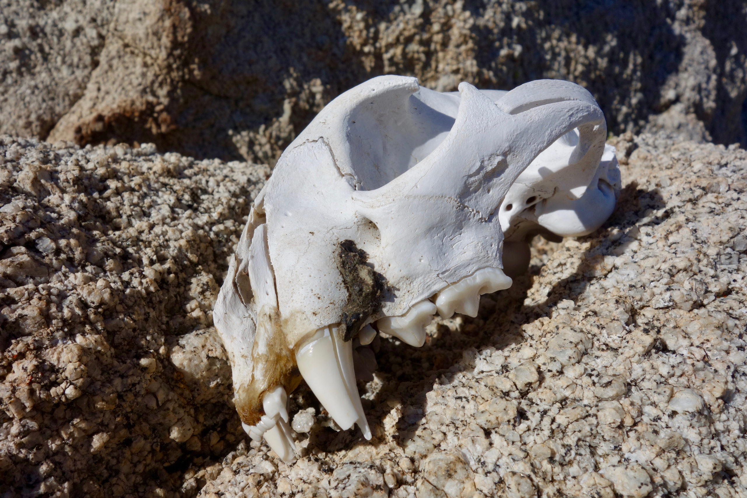
The notch led into an inner valley, one that was protected from the prevailing winds and was nicely vegetated, at least by Mojave standards. A rocky pillar stuck up in the middle of it, and I found a warm spot on the lee side to stop and have a snack. As I pulled off my pack I noticed something white behind a rock. It was a mountain lion skull, not too old judging from the condition of the very large teeth. A few leg bones and vertebrae were still scattered nearby. No doubt they were picked clean by the local coyotes, who surely relished the opportunity to eat mountain lion, rather than be eaten. The latter is the usual state of affairs in lion-coyote relations.
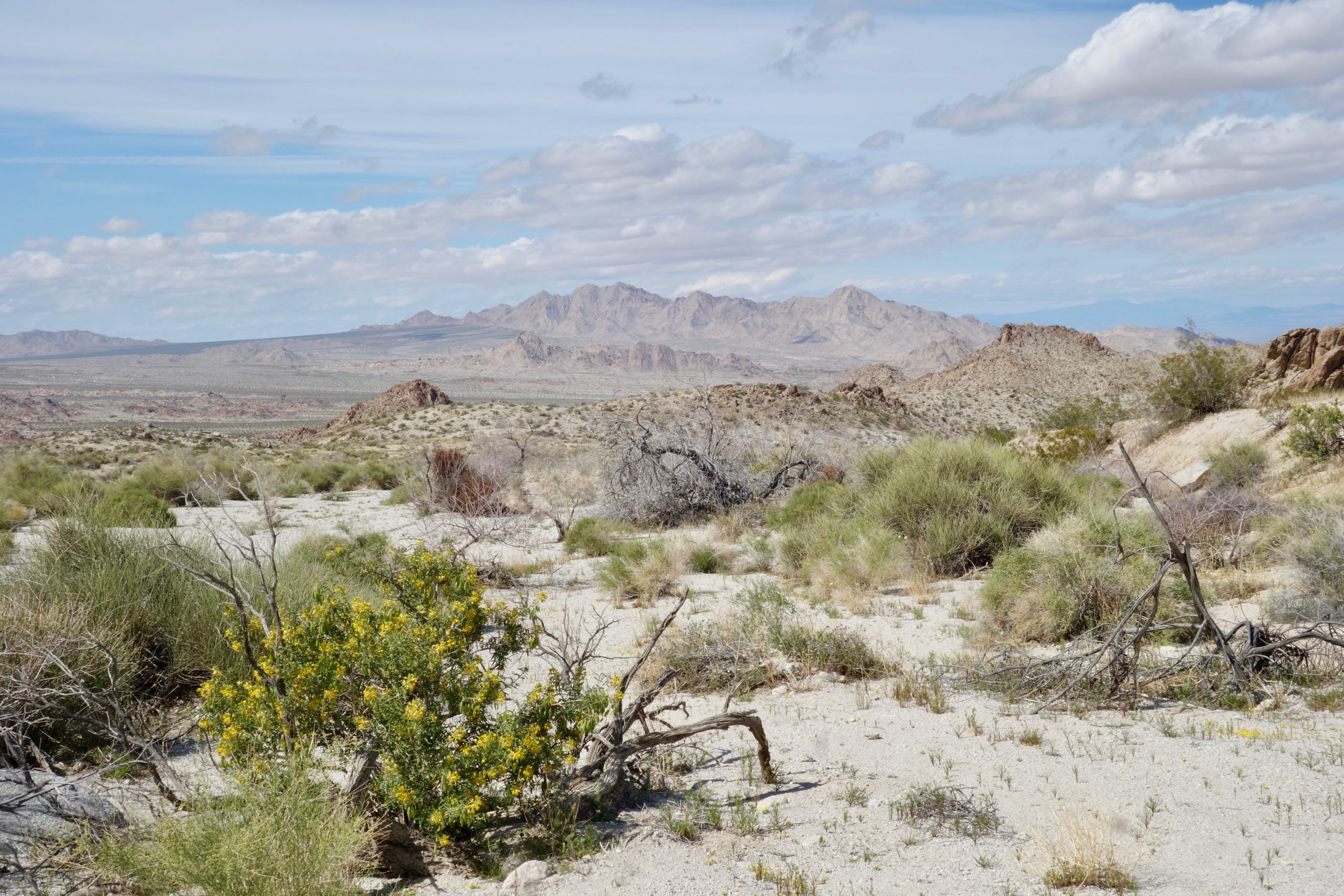
Getting out of the mountains proved trickier than getting in. The route looked simple on the map. I just had to follow a large wash trending mostly north down to the basin below. I followed the wash through a sharp right turn, assuming that it was just a twist in the route. Besides, all other paths led up, and I was going down. A half-mile later I was still headed east, so I pulled out the map, looked at it more carefully, and saw that yes, I should have kept going north up the feeder wash that led into some rugged country. My bad.
I lost the trail again soon enough, but this I blame on National Geographic. Their map here is off by a hundred yards or so by GPS and I went up the first left hand gully instead of the second. As the two paralleled each other it seemed I was on the route. But eventually finding myself in a narrow gorge when the map said I was in an open basin, I switched to the USGS topo and discovered my mistake. Another mile wasted.
Even back on the correct canyon I found the going slow and rough. There were plenty of upclimbs and downclimbs over boulders, but that is to be expected on the DT.
I was more thrown off pace by the quicksand. The rains of the last few days left water running in the canyons. And when I stepped between boulders on to seemingly solid sand, I often plunged ankle- calf- or even knee-deep into quicksand.
I suppose I should be grateful it was only knee-deep. People of my generation learned fear of quicksand at an early age. Saturday afternoons my mom would drop my brother and sister and me off at the local high school auditorium. For a few quarters we could get snacks and watch hours of movies. The movies were mostly old black and white Westerns.
Death by drowning in quicksand was pretty common in these shows. Those deaths were horrifying and slow and inevitable. The more you struggled, the faster you went under, which is surely some kind of moral lesson. The only escape, apparently, was to coax your horse over, have it drop a rope that had been presciently tied to the pommel, and then it would pull you out. Trigger may have saved Roy Rogers more than once this way.
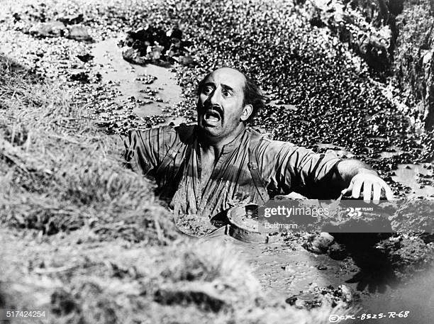
A Columbia Pictures 1961 movie still of a man drowning in quicksand. This is a fate that I narrowly avoided.
I did not drown but I did lose a basket off one of my hiking poles when the quicksand sucked it right off. I suppose I could have reached my arm in and tried to fish it out but I was too creeped out to do so.
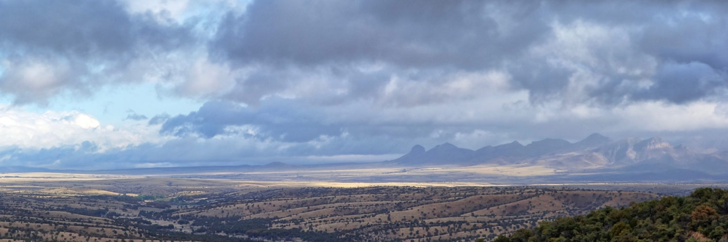
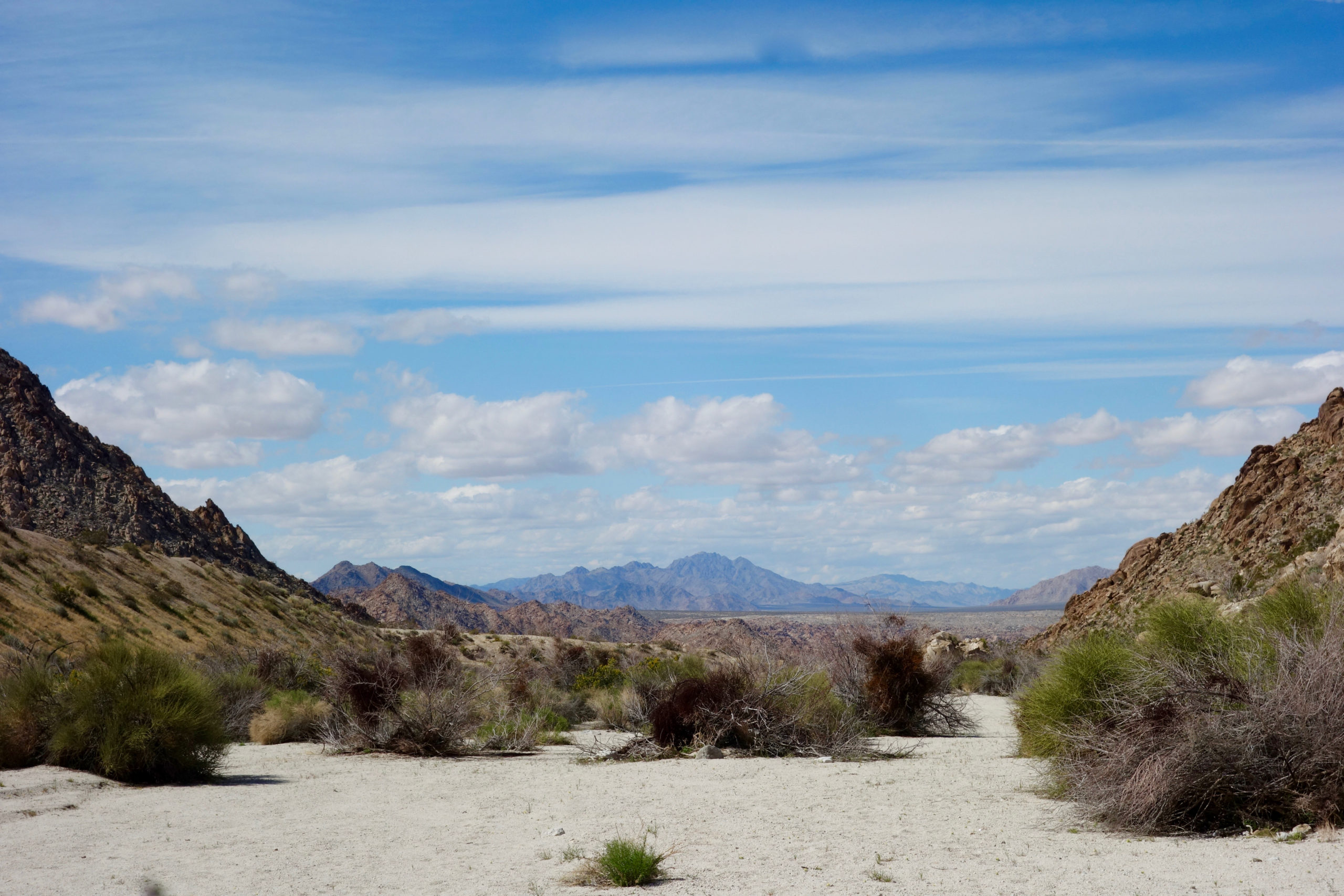
The canyon finally widened out and I enjoyed fine views of the Sheephole Valley below and the mountain ranges beyond.
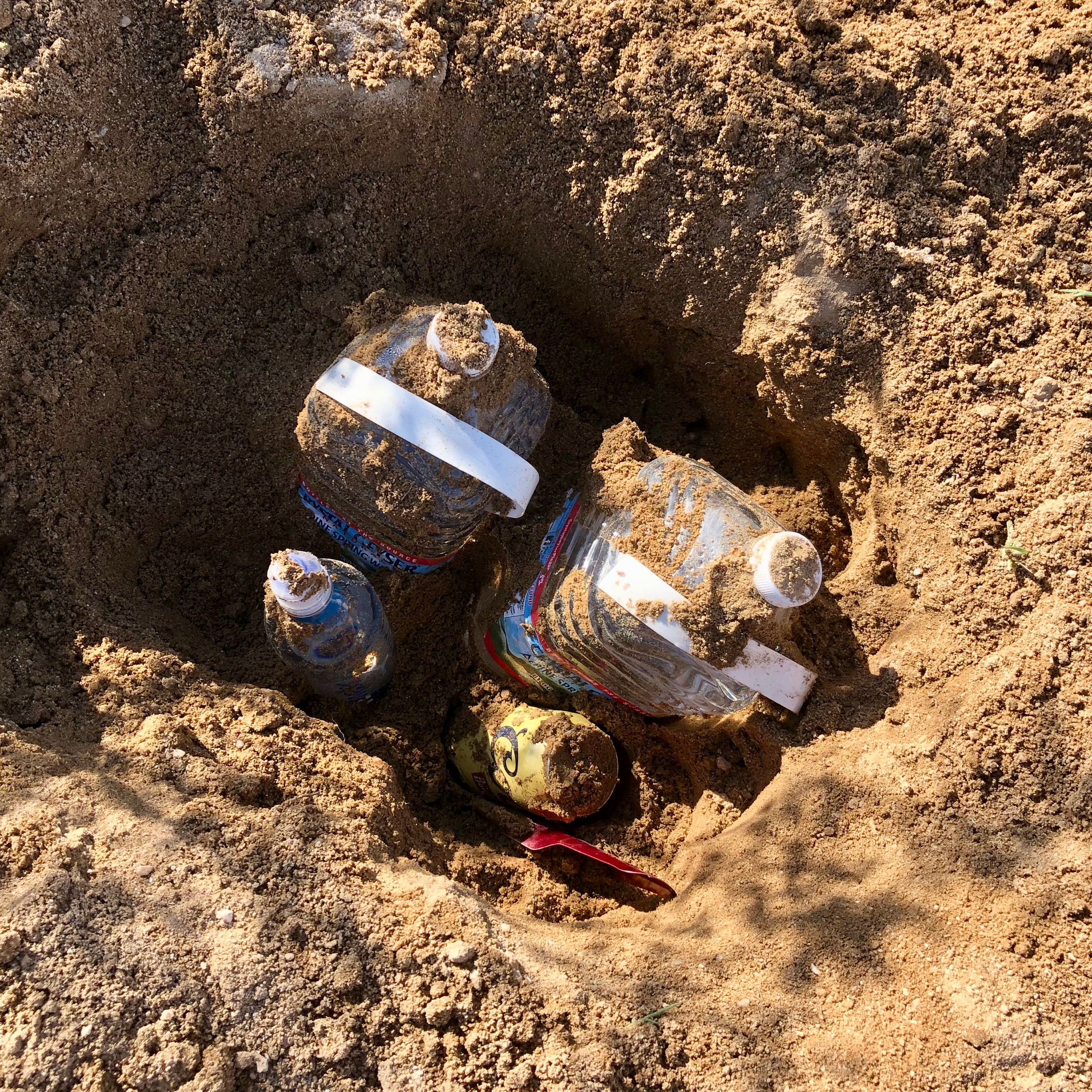
I crossed CA-62 and located the cache I had buried there, digging it out of the wet sand with my little trowel.
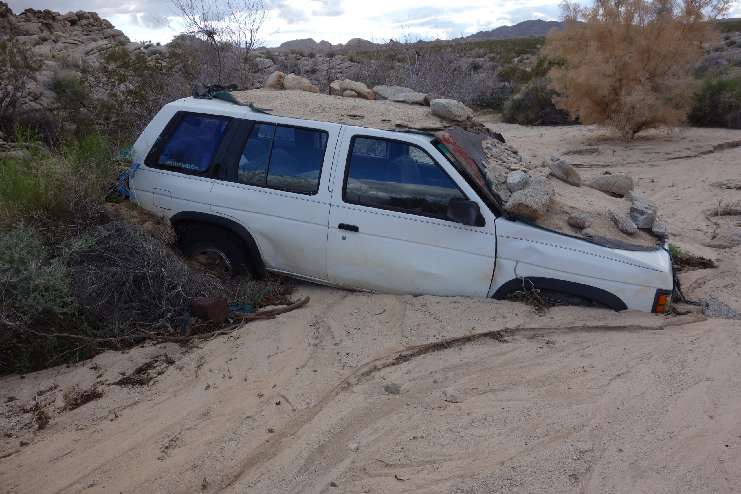
About a mile beyond the highway, I came across this abandoned SUV.
Look closely and you will see that it wasn’t just abandoned–it was hidden. There are tarps on the roof and hood and these were covered with sand and rocks. The vehicle was invisible to anyone who might be searching for it from the air. Why would someone search for an abandoned car from a plane or helicopter? I have no idea, but I doubt that this was a research project. Insurance fraud is probably the least nefarious answer.
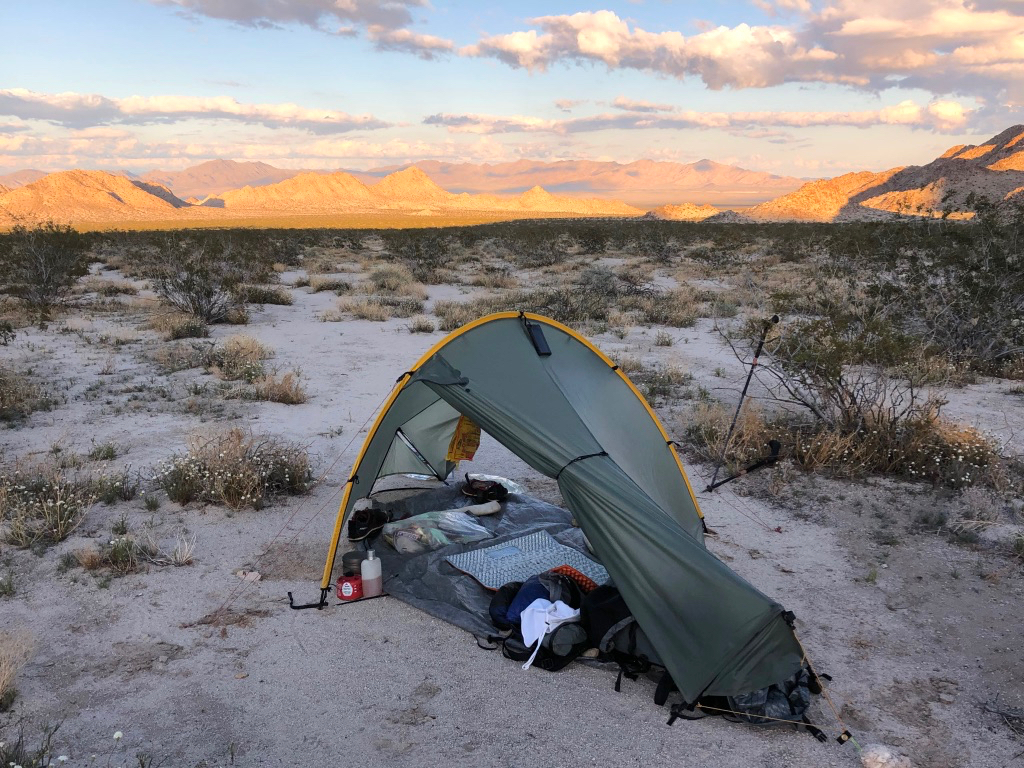
I continued on and soon found a fine sandy campsite with excellent views all around.
You’ll notice my sleeping pad in the picture above. It’s just half-inch foam stamped in an egg-crate shape to provide a little more cushion and insulation.
Despite such scanty padding, I sleep great on it. One trick is that I dig out a circular pit about a foot wide and two inches deep with my trowel. That takes the pressure off my lower back when I’m on my back, and off my hips when I sleep on my side.
But it’s more than that. I prefer not having a big soft inflatable cushion between me and the ground. I like feeling the ground, and thus the Earth, when I lie down. It makes me feel connected with all that’s around me, even out to the edges of our planet itself. I can sense (or imagine I do), the world turning on its axis, spinning through space, carrying us all on to a destiny that remains unknown and unknowable. That sense of connection provides me with a more deep and comfortable sleep than a whole pile of mattresses ever will.

Hi Drew, I’ve always read these and never commented before, but… uhhhh…was that blood on the windshield of that car?
Phil, thanks for reading. That red streak was from a disintegrating tarp. Old blood would be black. I did check that there were no bodies in the car, but didn’t inspect it that closely for signs of foul play.