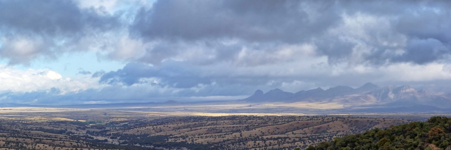
This was a day that went from perfect to perfectly awful.
Got a somewhat late start after eating breakfast at the BLYC, and it was near lunchtime by the time I made the 5 mile climb through the forest to Santiam Pass (US 20).
The pass is a popular trailhead and at the junction with the spur trail there was a cooler with a “For PCT long distance hikers” sign on it. Inside the cooler were 4 empty soda cans, but also 4 full and cold Coors Light cans. Score!

 I grabbed one and made my way to the parking lot, which had a pit toilet, trash can and picnic tables- all things that hikers cherish, as these humble amenities are not available out on the trail.
The decadence of this trailhead was not yet exhausted. I finished my lunch and headed back to the trail. There I found a couple from Bend, who had hiked the PCT last year, settling up some major trail magic.
There was a cooler full of ice cold craft beers and sodas. There were piles of chips, snacks and fresh fruit. And then they set up a camp stove and began cooking grilled cheese for the crowd of hikers that was beginning to assemble.

it was clear that a mini trail vortex was forming and if I didn’t leave soon I would get sucked in. I grabbed a banana and a cold beer, stuffed them into my pack and began heading up the trail.
The route climbed up and around Three Finger Jack, another obelisk-like volcanic plug in this region of the Cascades.
The trail was good, and the views were fine and extensive on the south side
On the west side there were mountain goats
The trail continued curling around the mountain, affording cloud-capped views of Mt Jefferson ahead.
I reached a saddle with a fine close-up view of Three-Finger Jack.

The trail then switch-backed down the steep shoulder of the mountain, and the good times came to an end.
There were extensive burn areas with so many downed trees that I often lost the trail.

Then it began to rain. I was at a low spot, watering up at a pond. It was 4pm. There were a couple of crappy but ok campsites around. I considered calling it a day, as the next stretch of trail was a climb up a narrow ridge, which would be unlikely to have any campsites until it topped out. But it seemed too early to stop hiking. It was windy and I could see lighter skies off to the west, so I reasoned the storm would pass by quickly. No big deal.
Big mistake. This afternoon storm was not at all like the morning’s gentle showers. There was wind and sleet and both persisted for hours on the exposed ridge. It rained long and it rained hard. A short segment of trail had been cleared of blowdowns, but most of it was still a jumbled mass of dead trees that had to be climbed over, under and around.
My poncho doubles as a floor to my tent (thus saving weight), and I had diligently checked for and taped over half a dozen pinholes before I started this trip..
But the lashing rain was much more diligent, and found another half dozen. After an hour I was pretty well soaked. This went on for about 3 hours until I gained the top of the ridge. It was up in the clouds, and the rain turned to fog.
I stopped at the first plausible campsite, Rockfall Lake and set up my tent in the near-dark among the half dozen tents of hikers already there.
The contents of my pack were dry, so I was able to strip off my wet clothes, put on a dry base layer and wrap my quilt around as I cooked up a much-appreciated hot meal (pork green chili).
What a day.

