
A long hike today through the east end of the San Bernadinos into the curious valley of the Mojave River. Who knew there is a Mojave River?
It was another 8 miles to the end of Deep Creek Canyon, which is aptly named. The creek, which is substantial, is usually a couple hundred feet below the trail, and stays that way pretty much through its 20 mile length. Thus the high bridge in the photo. I’m guessing that this canyon is an earthquake fault, to be so deep and narrow for such a long distance.
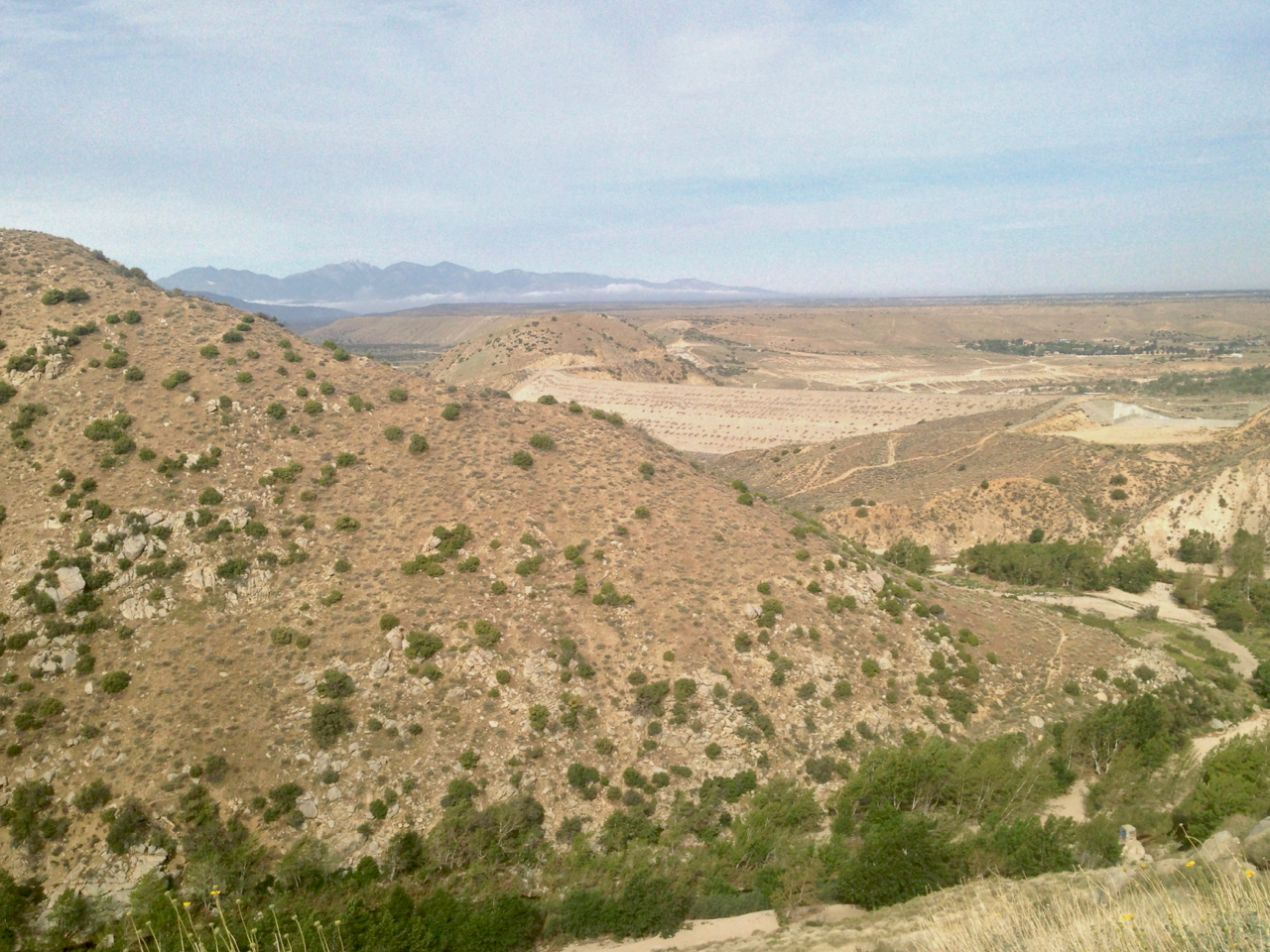
Deep Creek empties into the desert, PCT mile 312
The Mojave Valley is a flat flood plain 15 miles long and 5 miles wide, bounded by the foothills of the San Bernardinos on the east and a long bluff on the west. With the river meandering through pasturelands in between, it looks like it belongs in Northern Colorado or Wyoming, rather than California.
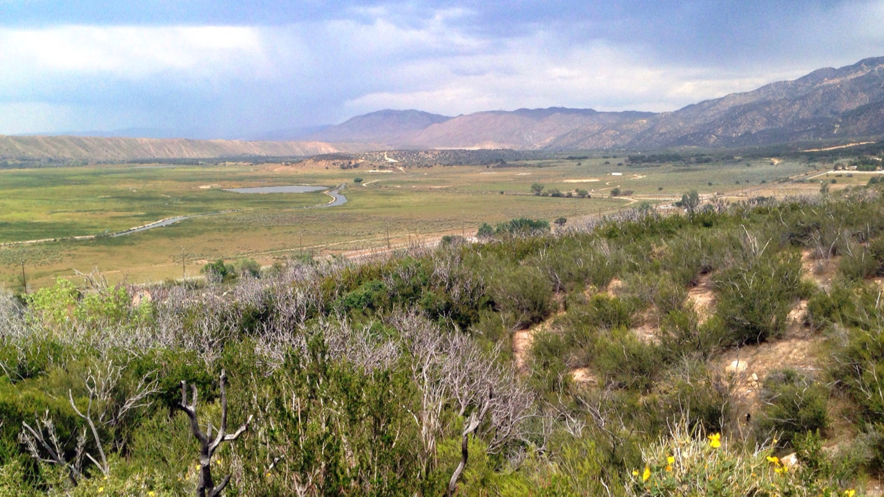
PCT mile 322
This area is surprisingly green, and there is plenty of birdsong to keep me company. Which is good, as human company has been minimal. And what company there has been, has been fairly taciturn – young men who can barely answer a question and ask none themselves. Oh well.
Ended up camping at a closed picnic area in Silverwood State Park, as I had found nothing better for miles. It’s always somewhat creepy being by yourself on the periphery of civilization. Much better to camp in the wilds, or to be in town.
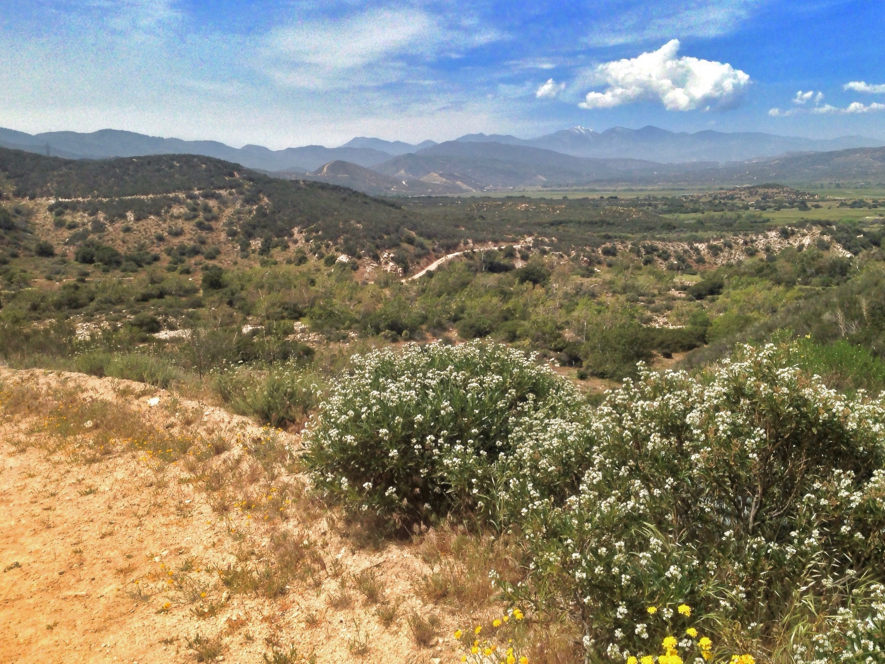
The San Gabriels from the Mojave R valley, mi 315