

My joy yesterday at leaving the smoke was premature. After midnight the stars faded out and it became so smoky I put on an N95 mask to give my lungs a break while sleeping.
But the morning was cold and windy, with wet clouds whipping up the mountainside. I was thrilled to have to put on my down sweater and windshirt, and even fantasized about having to hike in the rain.
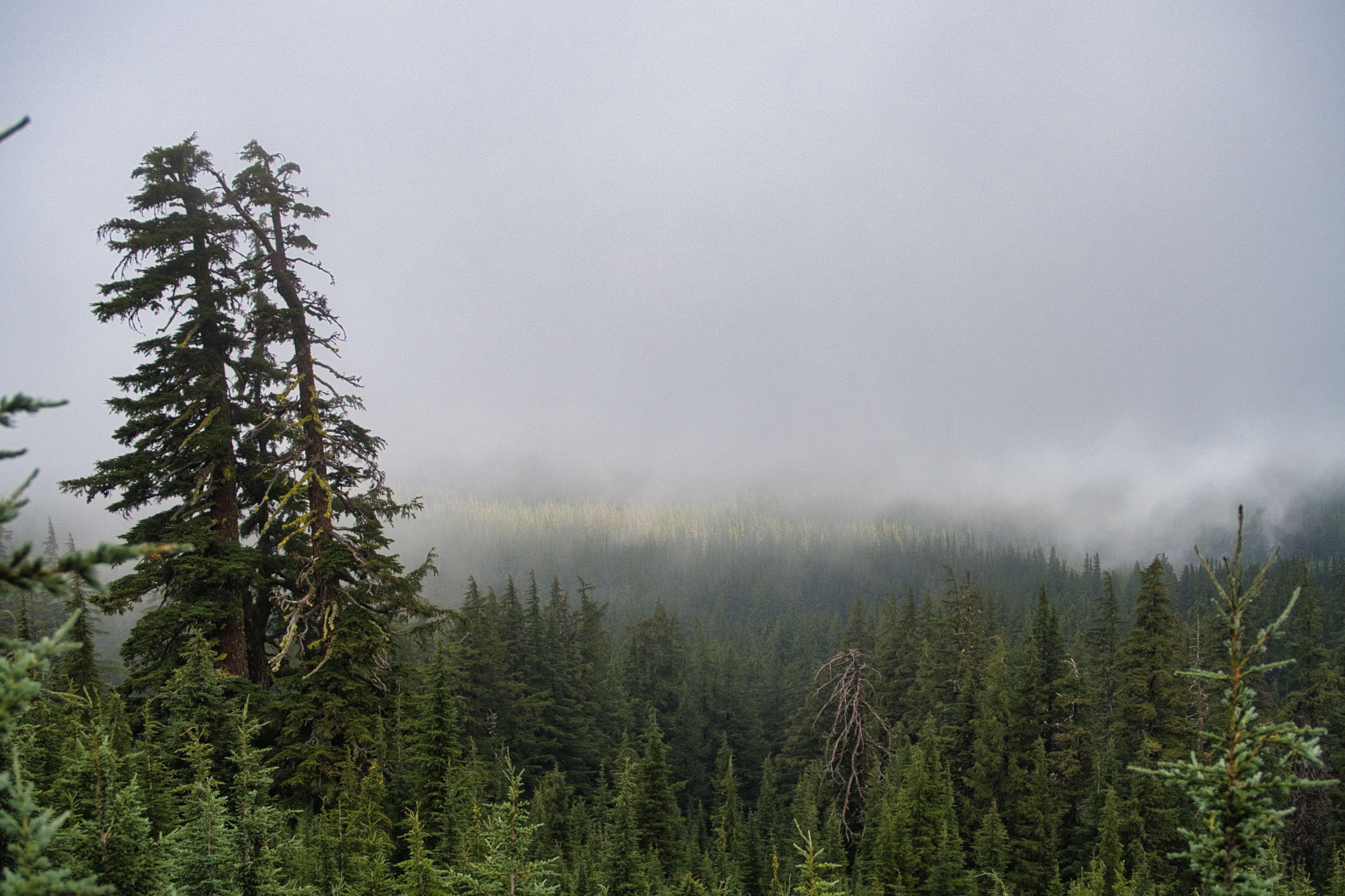
Although it didn’t rain, fog dripped from the trees. The trail was transformed from a hot, dusty, smoky slog to being cool, dark and somewhat mysterious. After days of misery I was hiking in clean cool air. It made hiking fun again and I took advantage of the opportunity to stretch my legs and cruise through the forest.
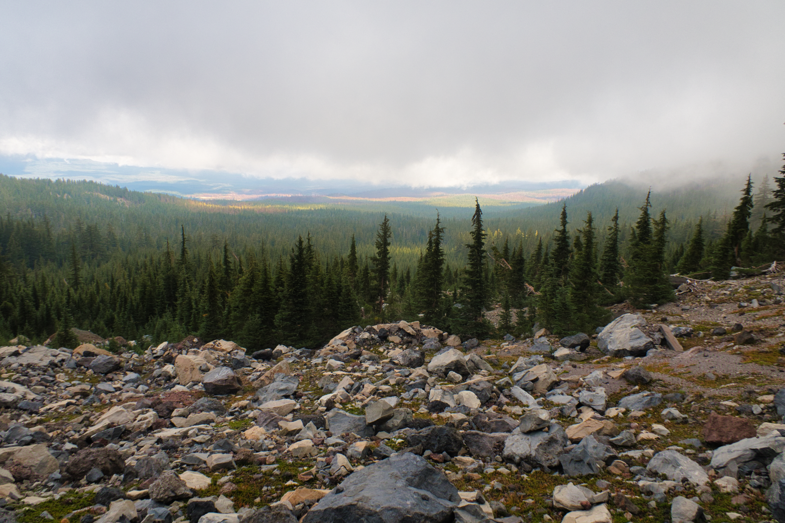
I probably passed 30 southbounders heading from Canada to Mexico. I’d seen a few every day, but this clearly was getting to the main herd. They reported good trail and clear air ahead and all were in high spirits, as opposed to the somewhat demoralized northbounders (like me) who were getting worn down by the heat and smoke to the south. Maybe this is what the rest of Oregon will be like. It’s possible, right?
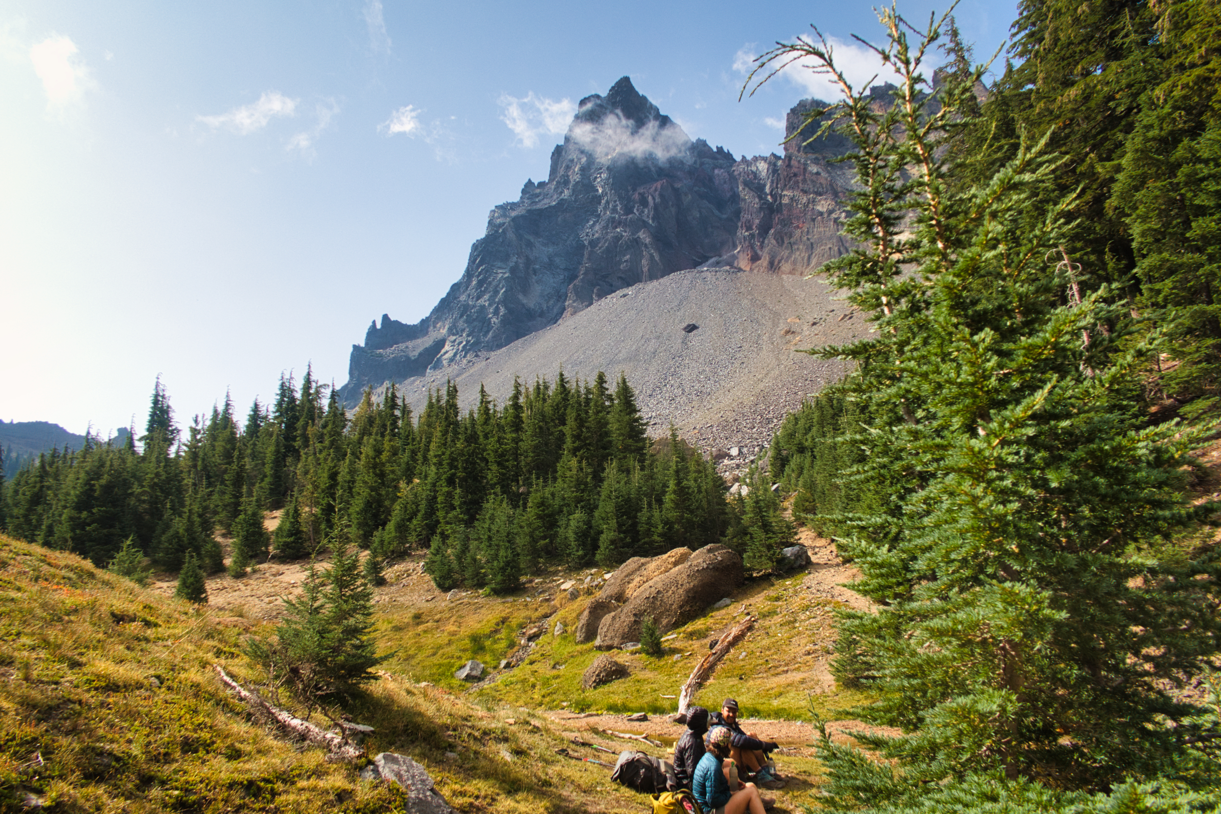
The fog began clearing by the time I reached Thielsen Creek, a rare example of running water in Oregon. The creek drains the north side of Mt Thielsen, another shield volcano that pops up to dominate the otherwise gentle hills and mountains of the Cascades.
SoBos watering up at Thielsen Creek
The landscape here is distinctly alpine. Part of this is due to the elevation (~7000 feet, high for Oregon) and partly the geology. The rocks look like granite even though they are volcanic.
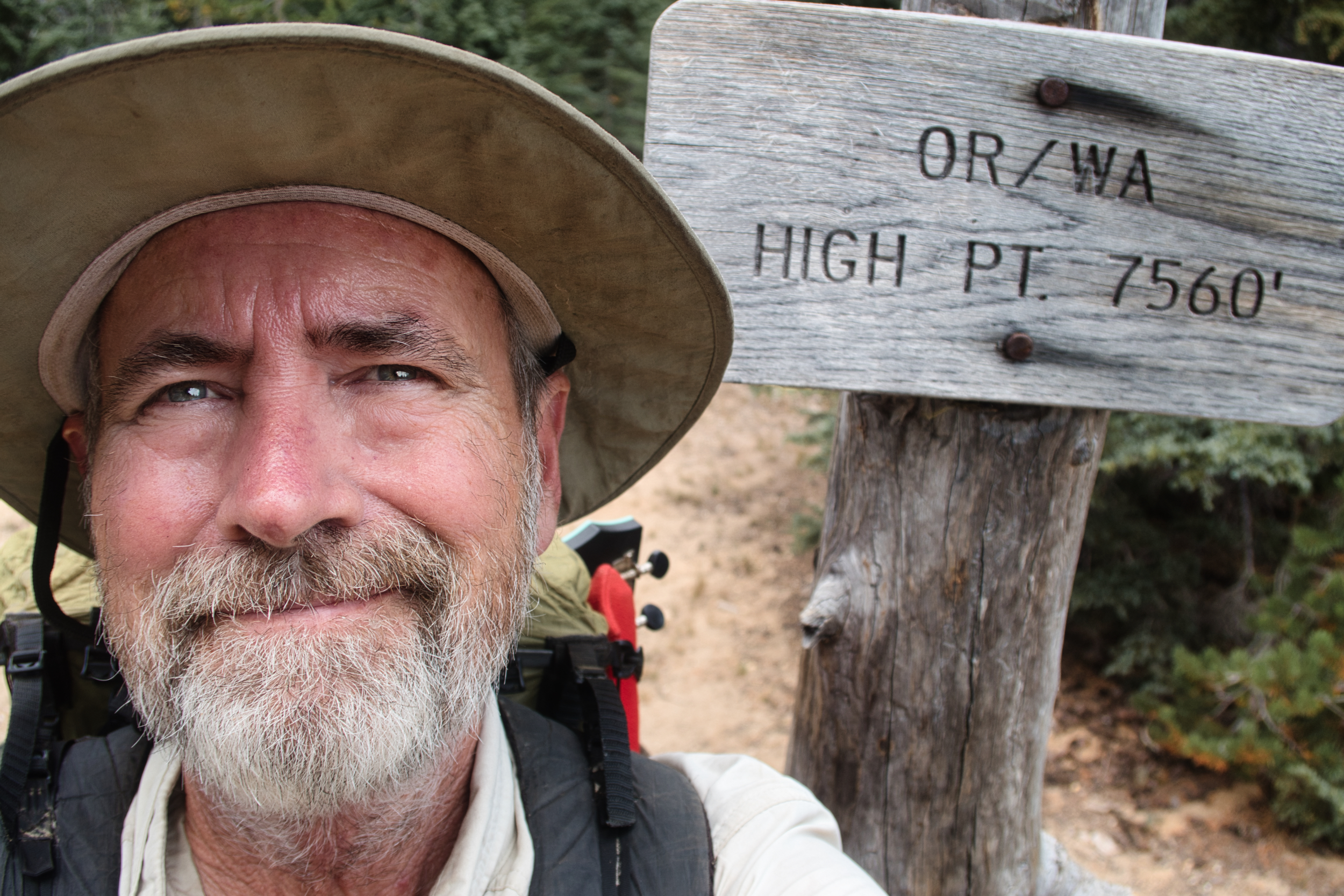
I reached the PCT high point for Oregon and Washington not long after. At 7560 feet, it is not at all high by Colorado standards, but I am not in Colorado. The shield volcano peaks are much higher, and I should be glad the trail does not climb them – they are steep and rugged and would be a lot of work. Better to keep hiking through the forest below.
But the trail does mostly follow the crest dividing the Willamette and Deschutes drainages, and thus there is little water on it. After Theilsen Creek the next near-trail water is Six Horse Spring, a dozen miles away. It’s a half-mile and 300 feet down to get to this spring-fed pond, and just as far back up again. But it is the last water for another 16 miles, so not much choice.
I end the day a few miles further along, on a somewhat exposed ridge. It’s a bit cold and windy but I am lazy and don’t bother pitching my tent, preferring to cowboy camp it instead.