

Another cloudy night last night. I was hoping for some good stargazing on this trip but it is not to be. At least it hasn’t been as cold the last couple of nights.
But warmer nights have their downsides. I was pestered by some buzzing insects much of the night, which may or may not have been mosquitoes. There was no characteristic whine but they didn’t sound like flies either. Where they might have hatched is unclear. There have not been any damp spots, let alone standing water.
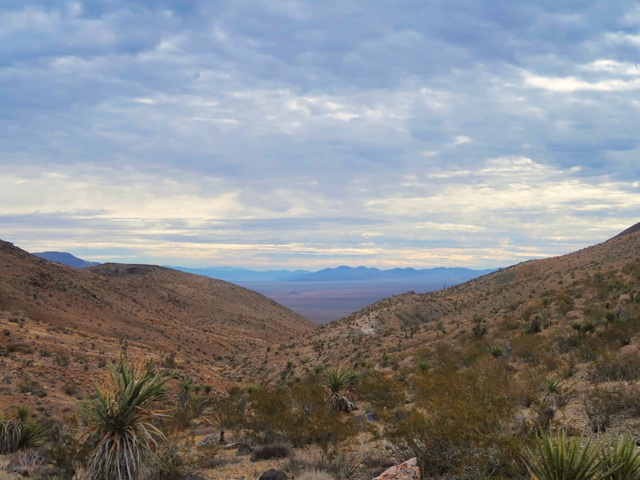
Looking back through the Hexie Mountains to the Pinto Basin
Clouds have their upsides. They were my friend for the climb through the Hexie Mountains, keeping the sweat to a minimum. I passed a few old mining works, some of them substantial. A pipe ran up the gully for miles, but where it drew water from is a mystery, there are no springs noted on the USGS topo map. These maps mark springs every place that had water at some point in time. Probably 80% of them are dry 80% (or more) of the time.
The gully that I followed (Fried Liver Wash) opened out into Pleasant Valley. The eastern end was desolate: fine powdery dust, no living plants. The creosotes were collapsed and black, like they had been blasted with space rays. But birds seemed to like it, at least to fly over–there were spatters of bird guano every five yards or so. Maybe its a good spot for vultures to circle and gain altitude, dumping their loads in the process. I don’t know, I was afraid to look up and see, unwilling to take the risk of a direct hit.
I collected my last water cache at the base of the Geology Tour Loop and had lunch at its southwestern corner.
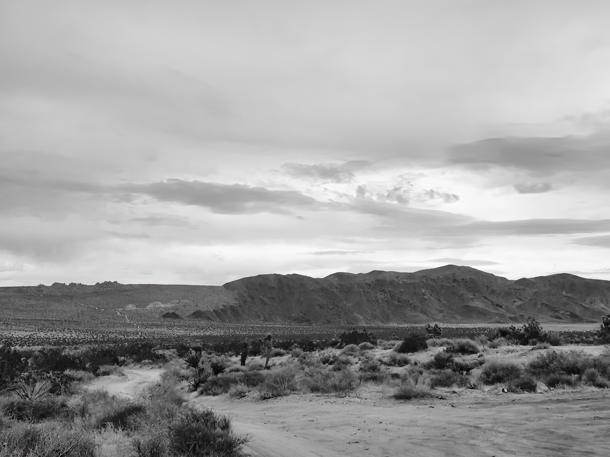
Pleasant Valley and the Geology Tour Road
It began raining as I finished lunch. Or rather the rain ended lunch. I wasn’t sure if I wanted to commit to continue hiking. The next leg of my route was the Pushawalla Hiking Corridor (not trail) which features a climb up to 4800 feet and has a Day Use Only zone about five miles across. If the route was rough and the weather turned nasty I could get stuck at high altitude a long way from a legal camping spot.
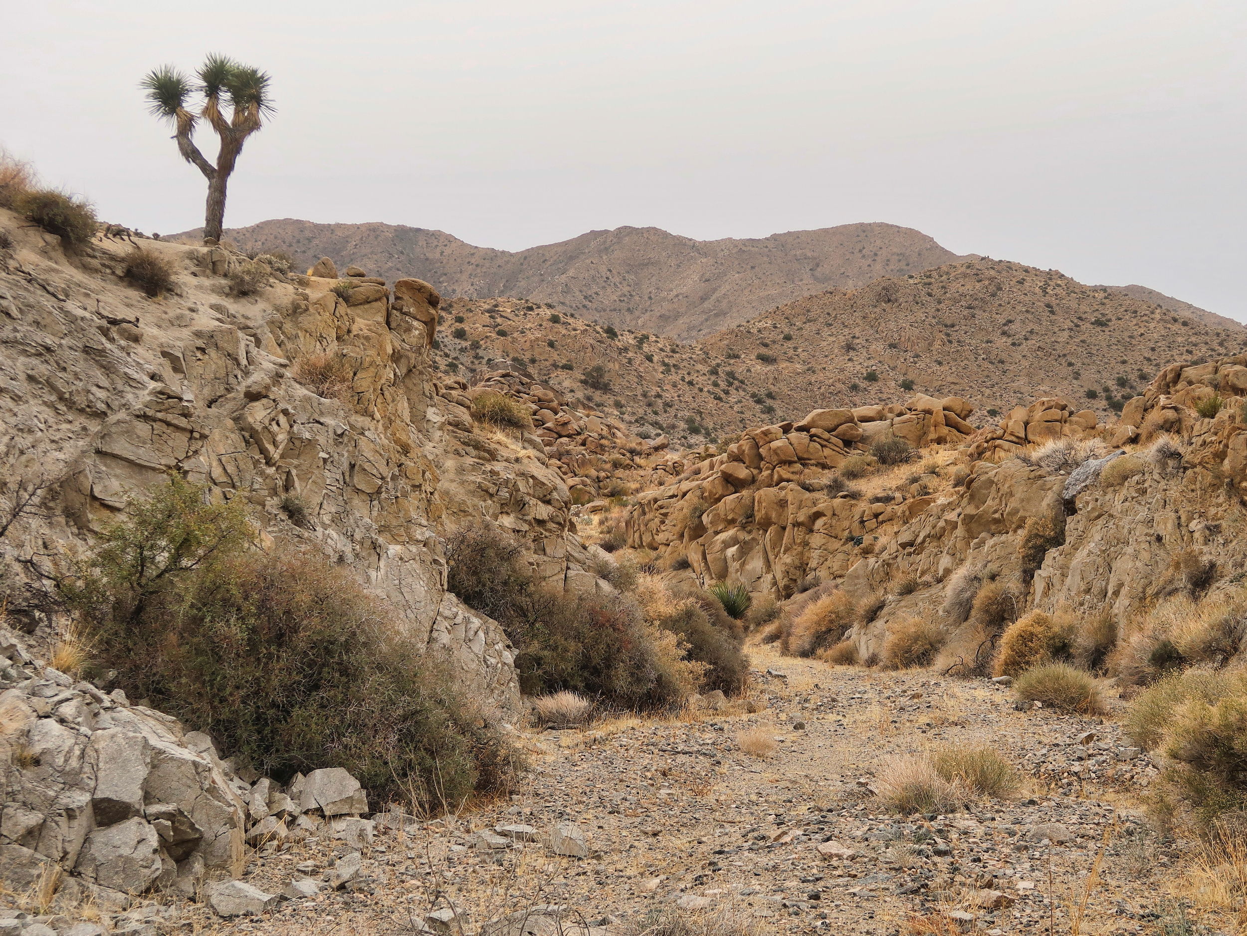
Easy walking up the Pushawalla Canyon Hiking Corridor
But the corridor turned out to be a fairly easy hike–a steady climb, but the canyon floor was flat and sandy. There was very little rock scrambling, or thrashing through thorny vegetation, both of which are usual in narrow desert canyons.
The only real impediment was rain and cold wind. It never rained hard but also never stopped. I made the high point in just two hours. The map showed a side route from there to the crest overlooking the Coachella Valley, which probably is an amazing view. Maybe some other day. The clouds were low and the wind was high. The chance of a view was much lower than the chance of a miserable soaking.
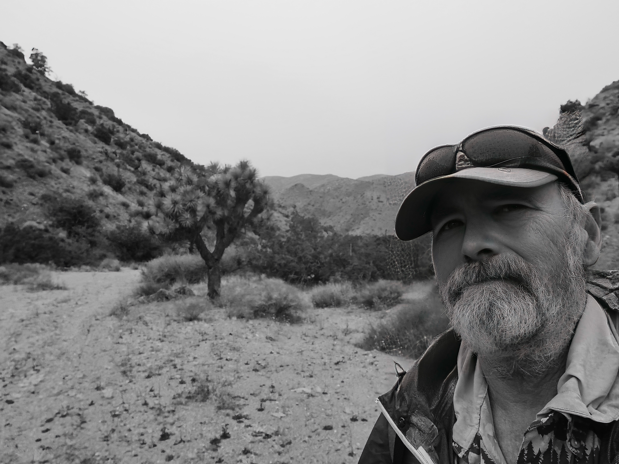
At the high point, all downhill from here
Instead I headed down Pushawalla Canyon, found a campsite at the edge of the day use only zone and stopped hiking at 3:30, having covered some 16 miles. It started raining hard right after I pitched my tarp.
The cross country hiking has been easier than expected and my legs are also stronger than I expected so I have been walking 16-18 miles per day rather than the 14 I planned for.
As a result I will finish up late tomorrow rather than midday the day after. Just as well, more rain is in the forecast.
33.88559, -116.15747