

It rained a good deal of last night but was not windy or cold, so not so bad.
My route left Pushawalla Canyon and its hiking corridor and headed west cross country along the face of the Little San Bernardino mountains. Although rain threatened early, the skies began to clear and the weather was fine for hiking. It would have been a rough go in the rain.
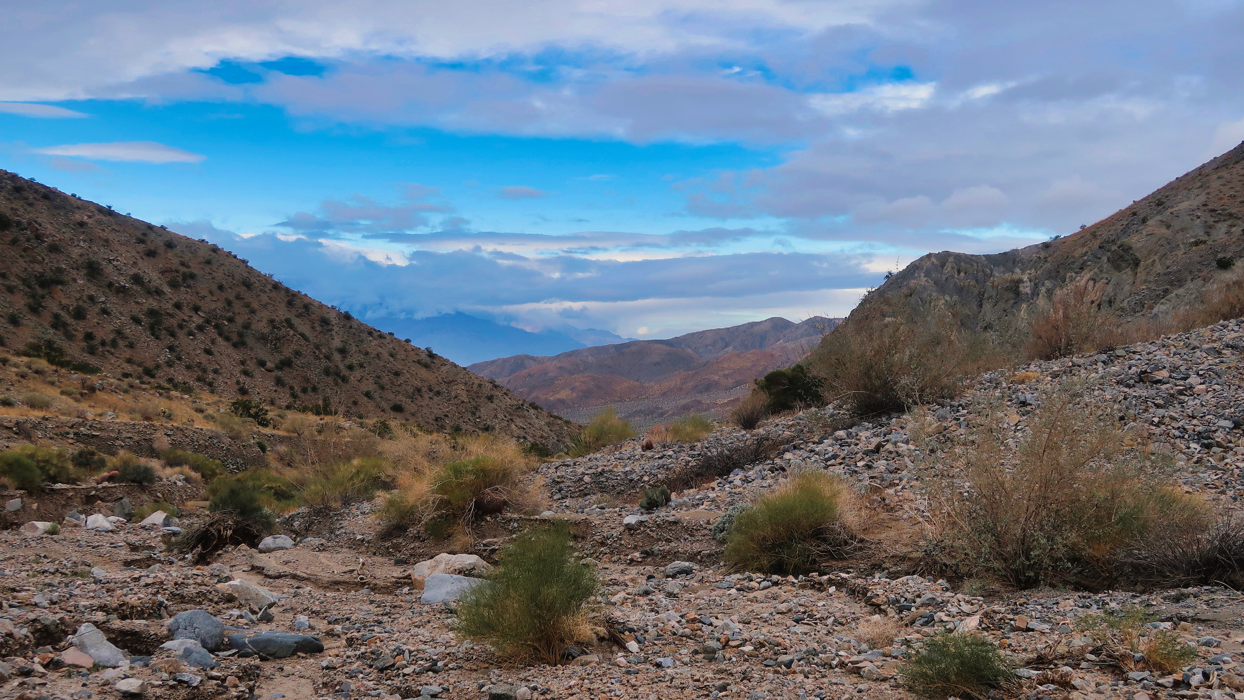
The soil there is gravelly and loose, easily eroded. Although fairly flat on the topo map, the terrain is a series of gullies slashed 10-40 feet deep. I was constantly scrambling steeply up or steeply down. It took about three hours to make the 3 mile traverse across to the fan canyon that I followed out of the mountains.
I chose this route rather than stay in Pushawalla Canyon because the map shows it leading out through private property. I have little faith in the good nature of people who own remote desert land. They are often misfits who buy near-worthless land in order to gain some sense of control and dominion. They can be unreasonably sensitive to what they consider an intrusion. Invariably they are armed. Avoiding them is worth a couple hours of rough cross country travel.
Once I made it to the fan canyon the walking was easy, following a mostly sandy wash bottom out of the mountains. The vegetation changed once again as I lost elevation, becoming rife with chollas. It appears the wet year of 2023 was good to the chollas. They are looking full and robust, sporting a few flowers even. Little cholla starts were scattered all around, hoping to get themselves established. It was good to see them flourish although I did have to step carefully.
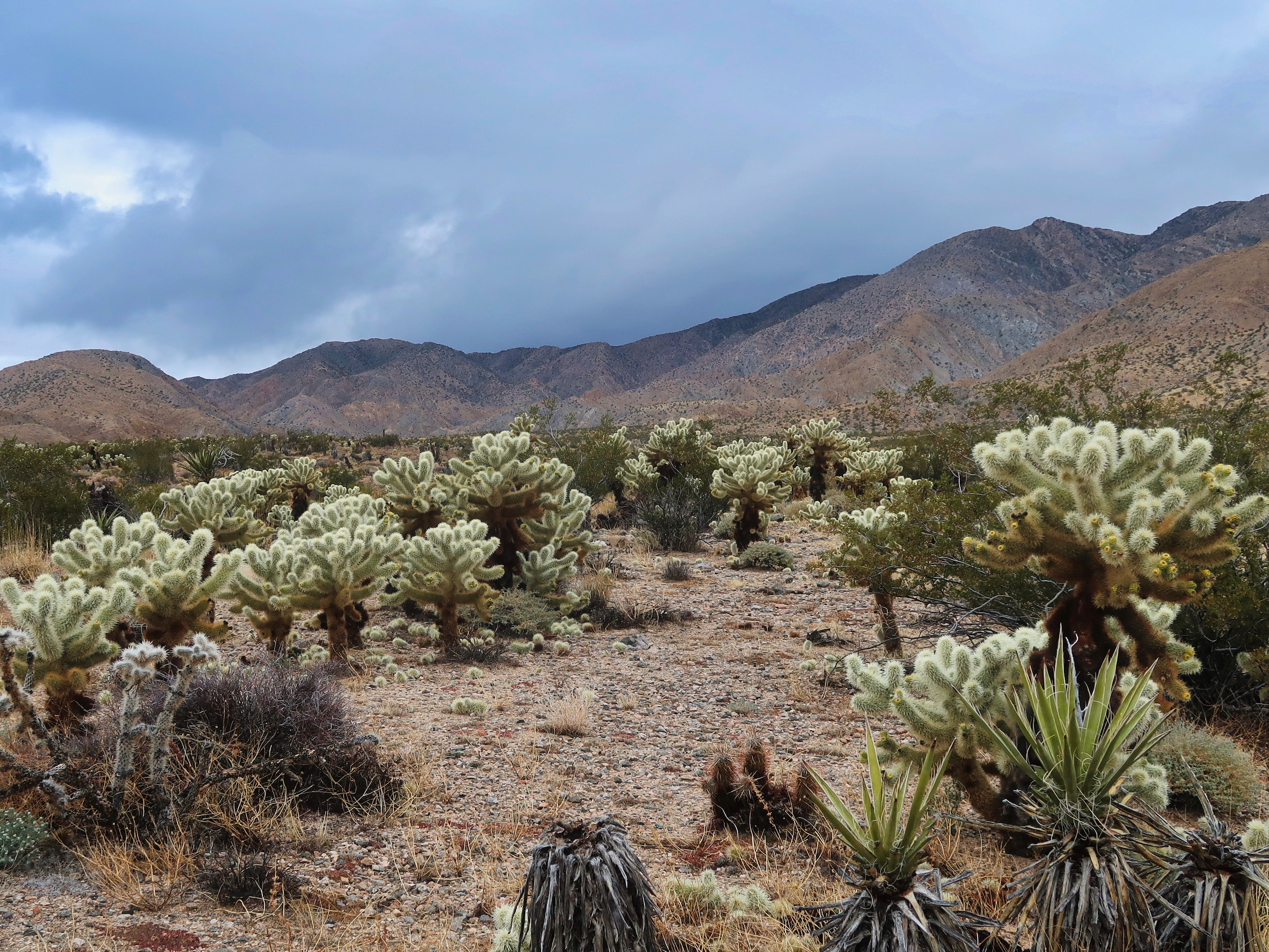
Through the cholla gardens
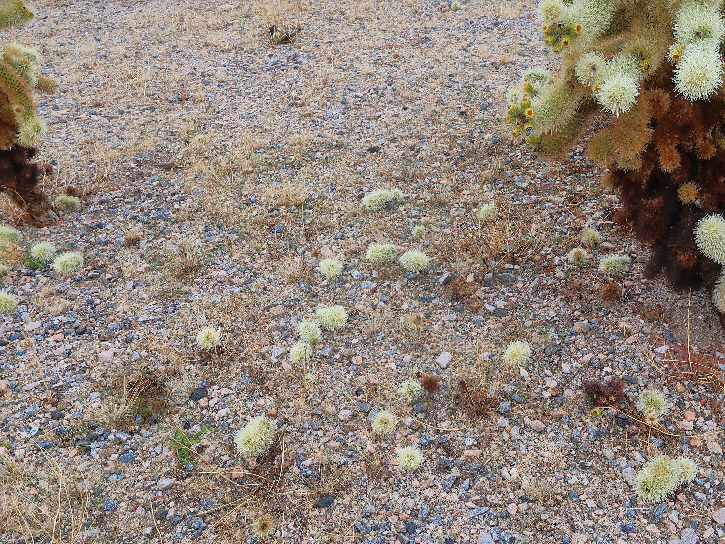
I had to step carefully
Out on the valley I roadwalked through the Sky Valley Ecological Reserve and then through a subdivision of desert rat retreats. Some looked well-built and well-tended, others were shacks or decrepit mobile homes. Quite a few had mean dogs that came out to bark at me but only one was unfenced and able to chase after me. It retreated every time I turned to face it, so no harm done. But I did end up walking backwards a couple hundred yards, unwilling to chance it sneaking up behind and taking a chunk out of my backside.
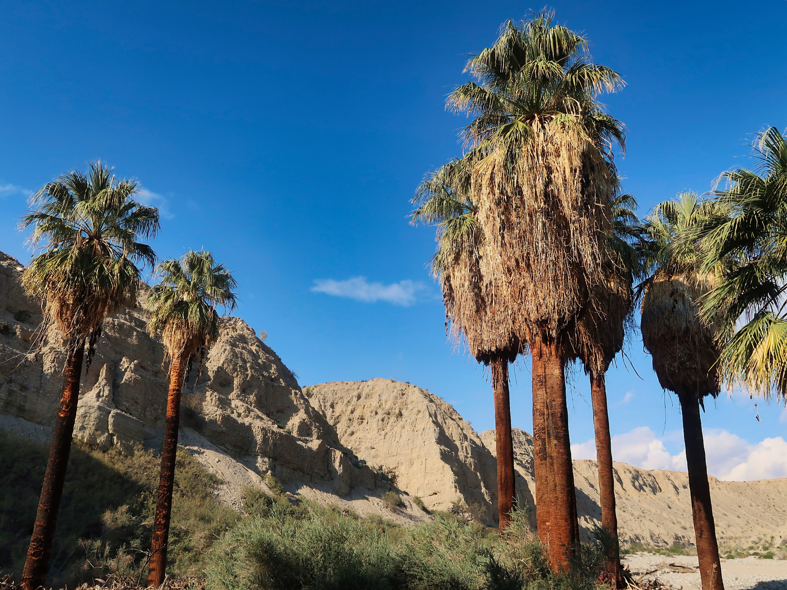
Eventually I intersected Pushawalla Canyon again and turned into its broad steep sided domain, a part of Indio Hills Palms State Park.
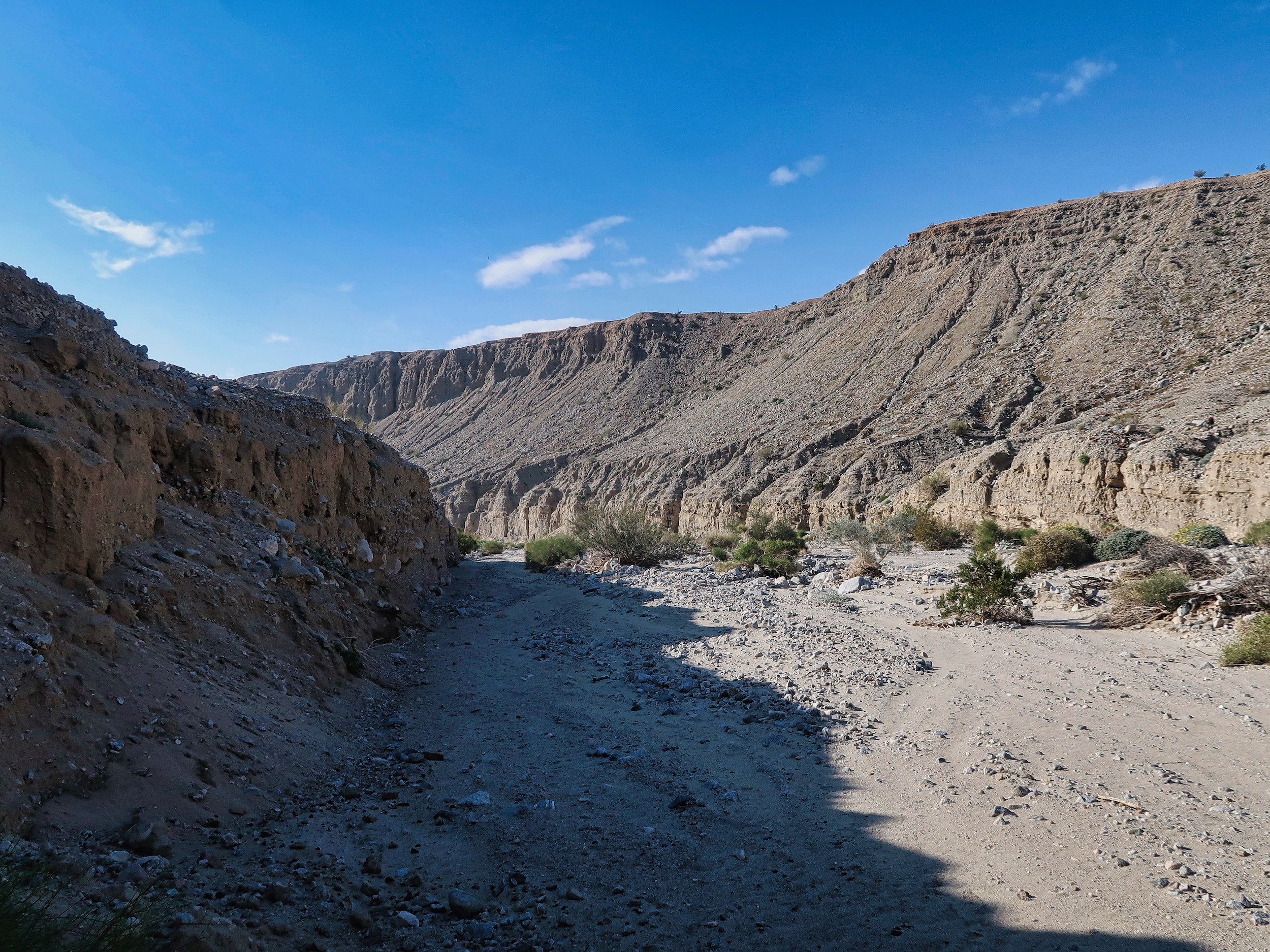
Lower Pushawalla Canyon, part of Indio Hills Palms State Park
Its geology is remarkably similar to Whitewater Canyon on the PCT, not surprising as they are only 20 miles apart. Steepsided walls of loose aggregate erode into flutings that bound a wide flat bottom. But the bottom in Whitewater is gravel, here it is sand.
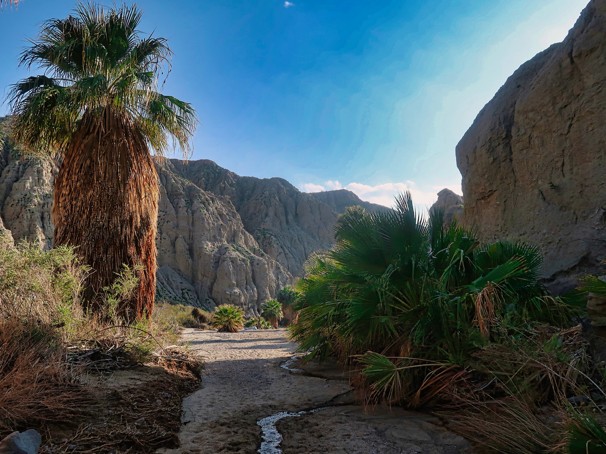
After a couple miles I reached the Pushawalla Oasis. It is very impressive, a good half mile of lush groves of tall robust palms. I lingered for close to an hour, enjoying the soft air, the rustling of the leaves , the songs of birds. It is a rare type of forest, one that features both deep shade and open sky. Not at all closed in, as so many forests are.

Approaching the oasis
A handsome set of trees in the desert
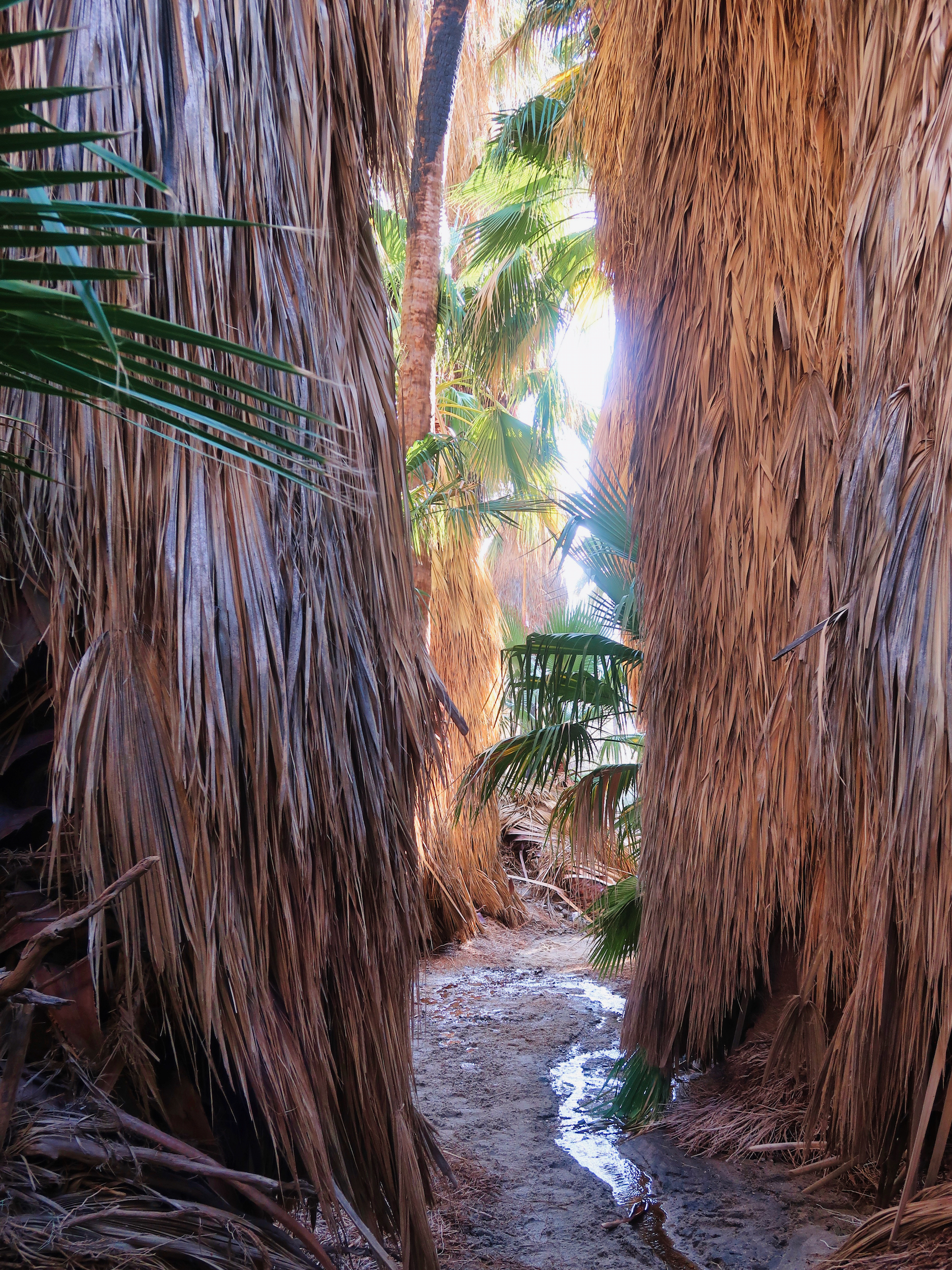
Into the inner sanctum
The palms were strung out for quite a distance
Nearing the bottom of the oasis and the canyon
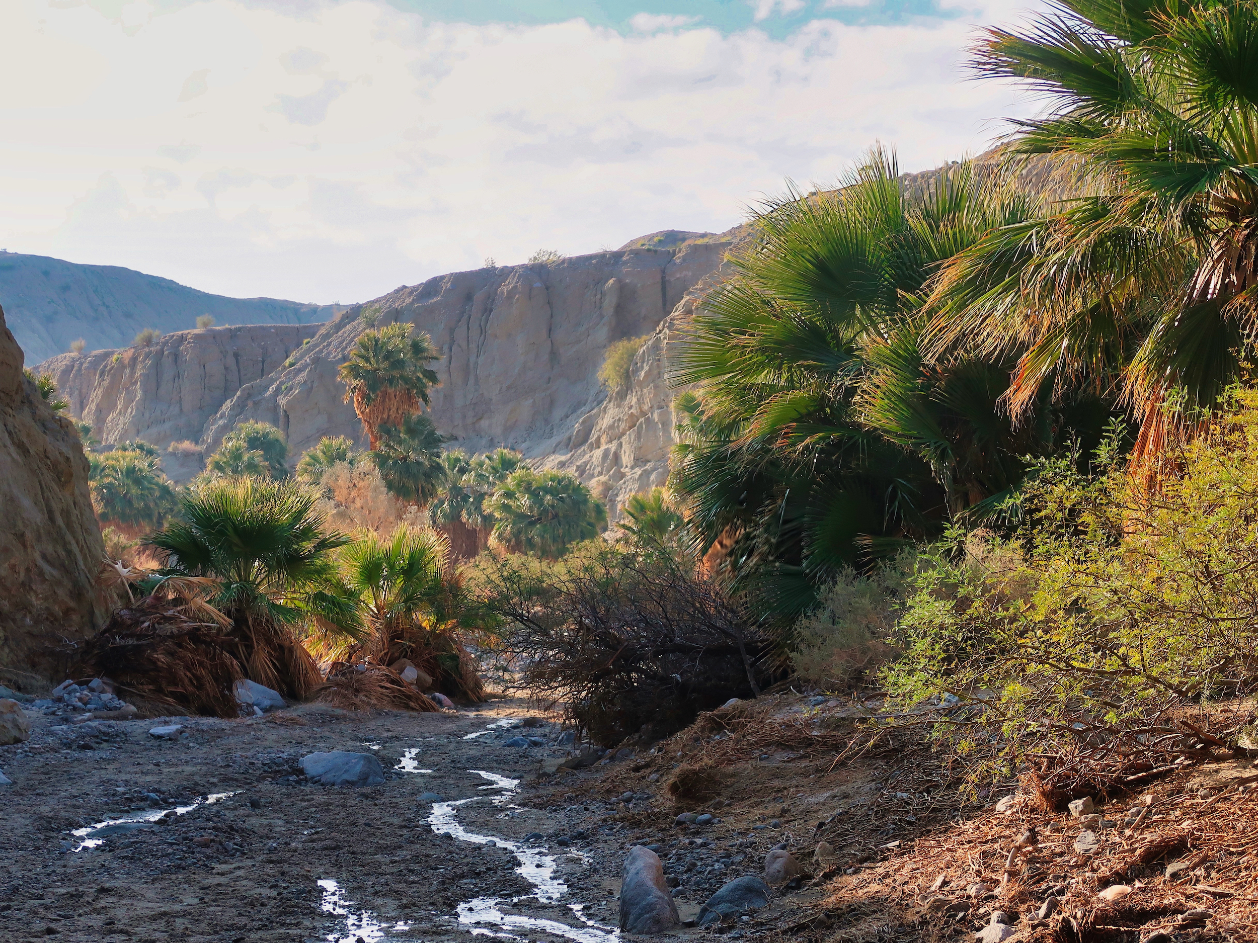
My exit down to the highway was complicated by my once-again misplaced faith in Nat Geo/Trails Illustrated maps. There was no trail leading to a side canyon leading to the highway, nor, given the steepness of the canyon walls, would such a trail be feasible.
So I kept to Pushawalla until it opened itself out into the desert floor then cut across the rocky plain for a mile or so.
I pulled out my phone at the highway. Like an enchantment, an Uber showed up and whisked me away to my lodgings in Desert Hot Springs and the end of the hike.