

I covered a lot of ground today. But that is because the first 10 miles were on the CRHT, which was smooth and sloping gently downhill. Also I was down to a couple of liters of water, making my pack a much more reasonable weight. Easy to walk fast under those conditions, to get into a flow of hiking. The scenery was unremarkable, a broad basin with a few rock outcroppings, some medium size Joshua Trees, all under the flat dull light of high clouds which drained what little color there was from the landscape.
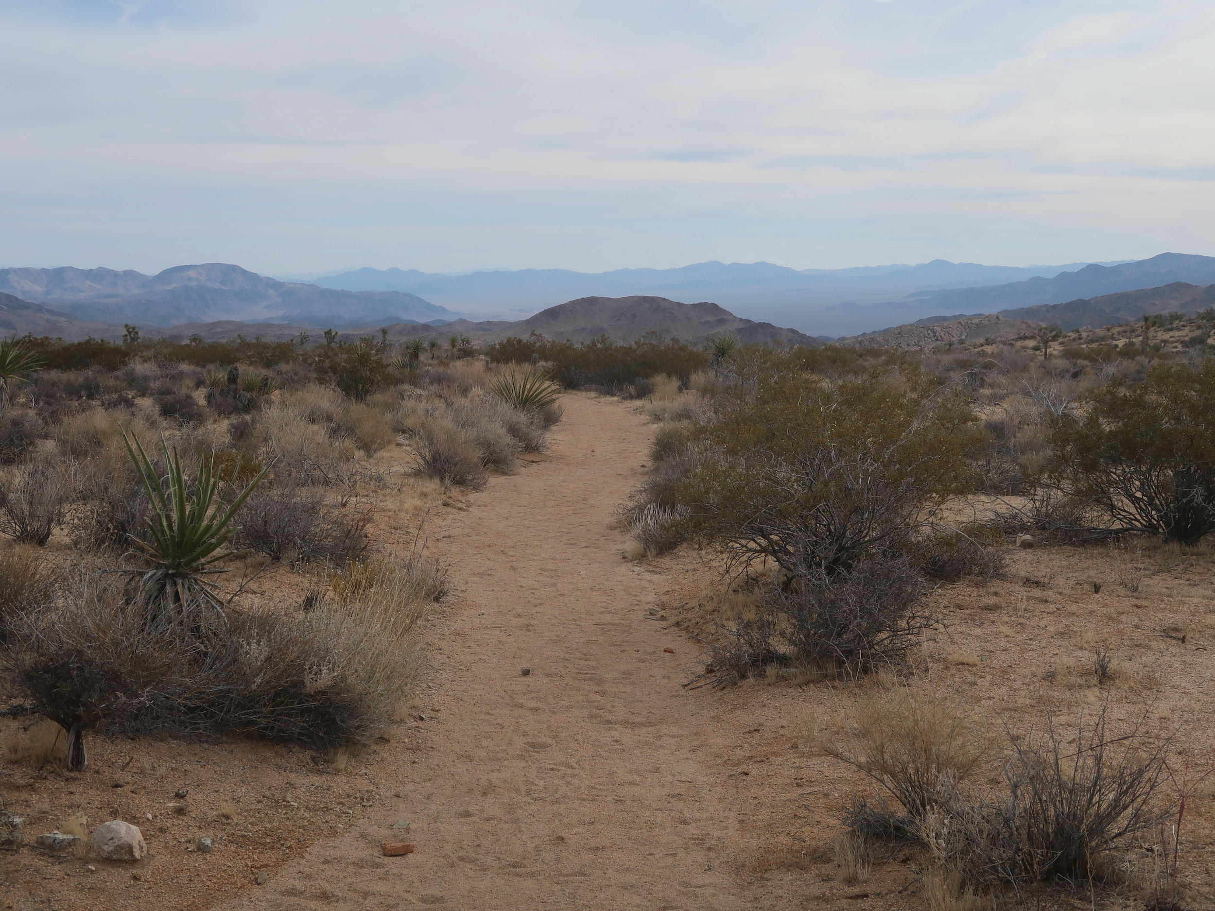
Easy walking on the CRHT
Without scenery or routefinding or rough trail to occupy my attention, my mind turned to the act of walking itself, or at least the mechanics of walking. I had to quit the PCT last year due to knee inflammation, which was also a problem in 2021. Both times it was the inside of the knee joint that was affected.
Of course I scoured the internet for suggestions on what caused this and how I might prevent it. Exercise, obviously, but I don’t think weak muscles are really the problem. Gait mechanics seems a more likely culprit. I walk with my toes pointed out, and this puts more pressure on the inside of the knees, which has been the problem spot.
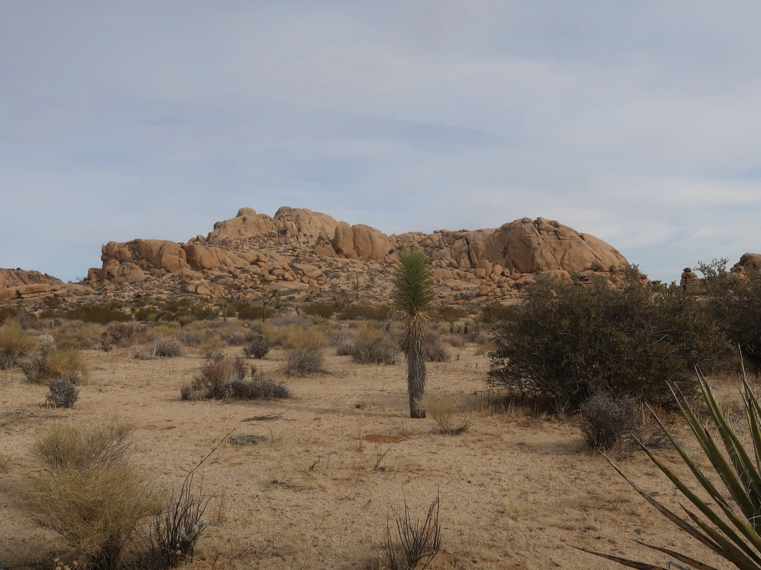
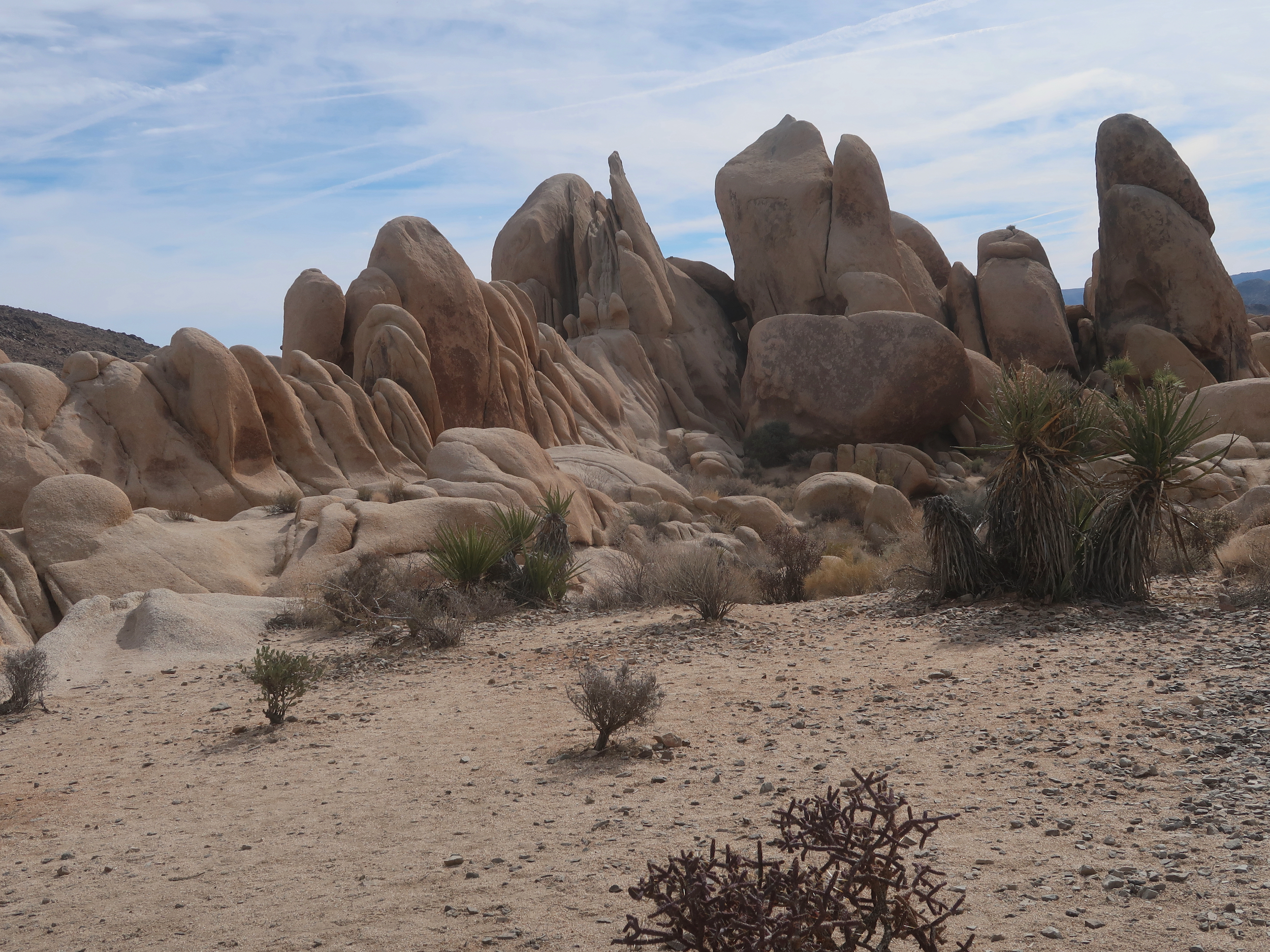
Rock outcropping with Joshua Tree #1
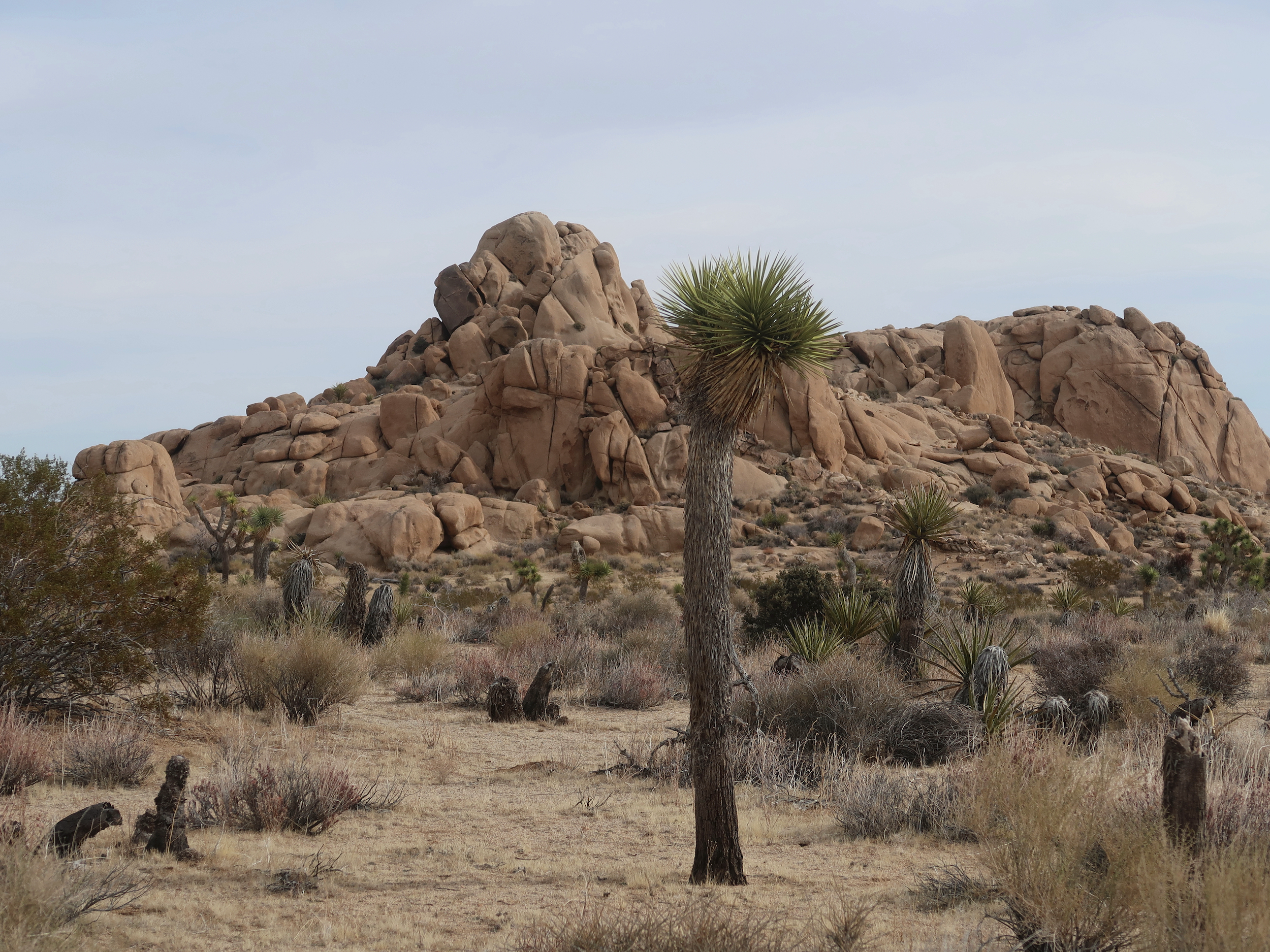
Rock outcropping with Joshua Tree #2
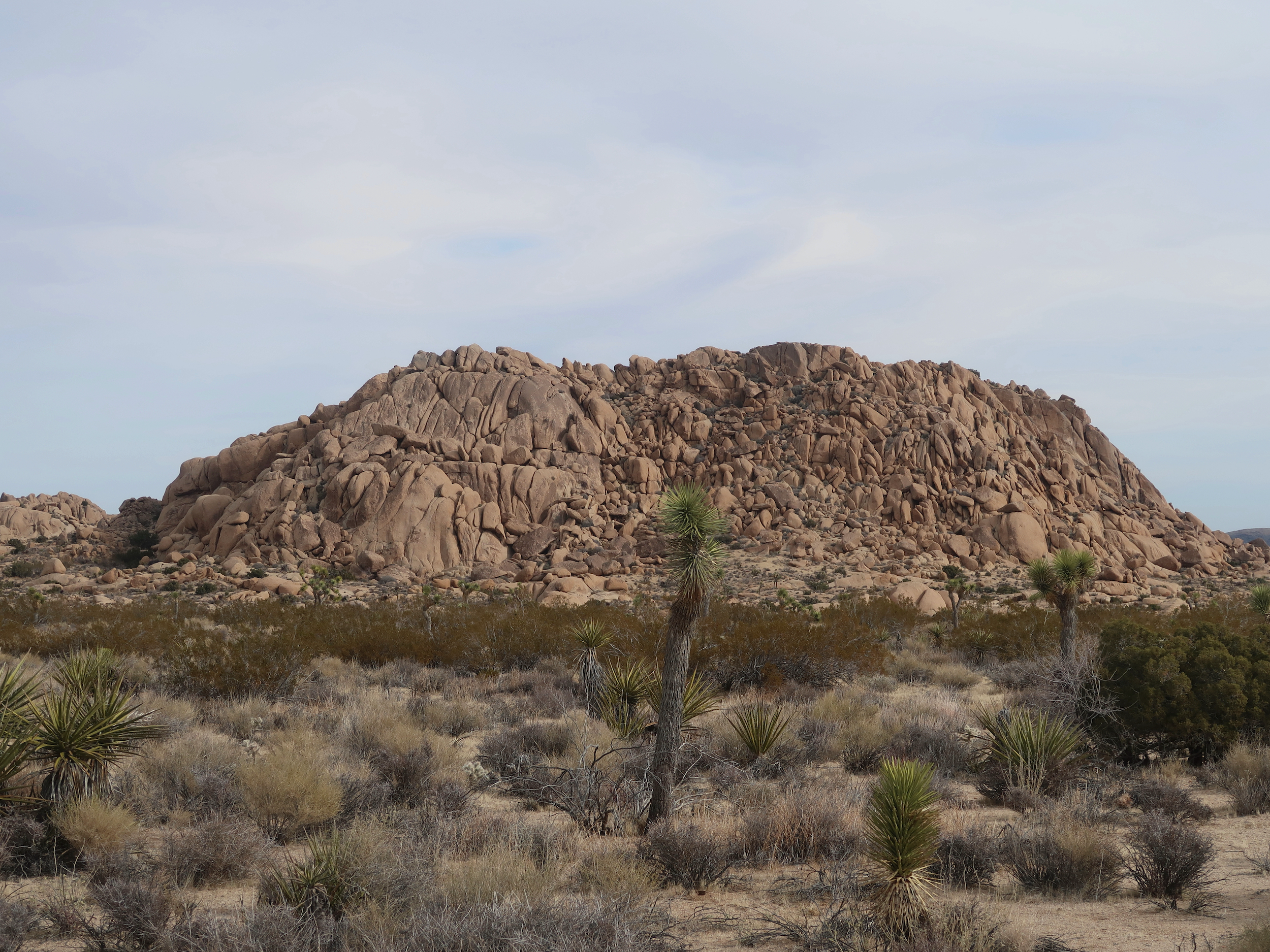
Rock outcropping with Joshua Tree #3
So I focused on pointing my toes straight ahead. That seemed to spread the force of pushing off with each step more evenly on both sides of my knees. Also it caused me to engage my hips and glutes more, which should further reduce knee stress. It felt reasonably comfortable, I just have to focus on doing it, and not slipping back to the habits of 67 years. But there’s no real way to tell if this helps or hurts until I’ve been out on the trail a few weeks.
I picked up another cache near White Tank campground, and made use of a picnic table there for lunch and topping off my water supply.
Rocks near White Tank
That was the end of the easy walking, or at least the walking on the CRHT. It heads north toward the north park entrance. I’ll be walking cross-country most of the rest of this trip, another 30 or 35 miles.
I struck off from the campground taking a wide canyon southeast toward the Pinto Basin. It was a steady downhill and the vegetation changed with the elevation drop. The Joshua Trees became rare and chollas became abundant. Also there was some kind of squash that I am unfamiliar with.
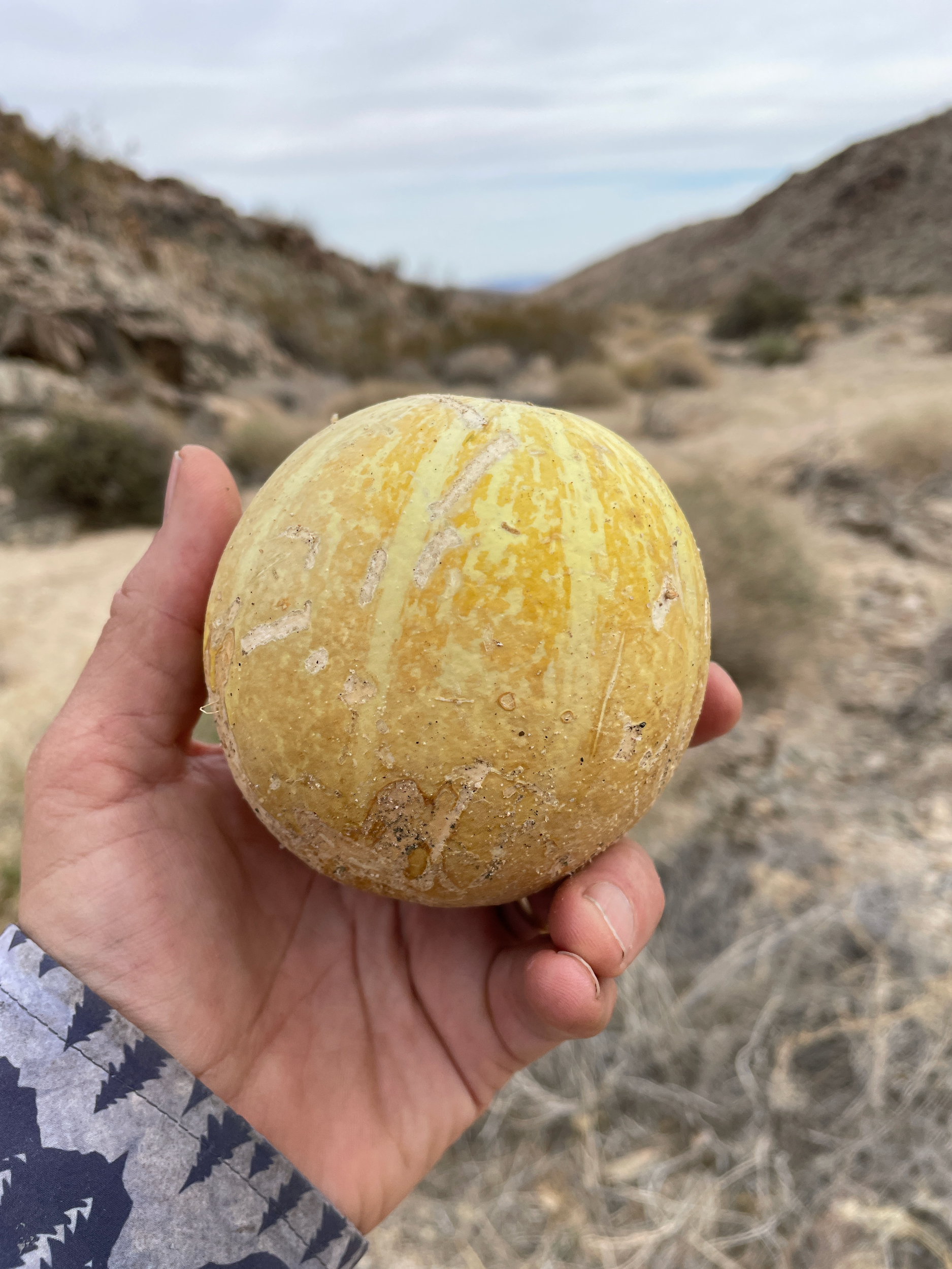
Mystery squash in a desert canyon
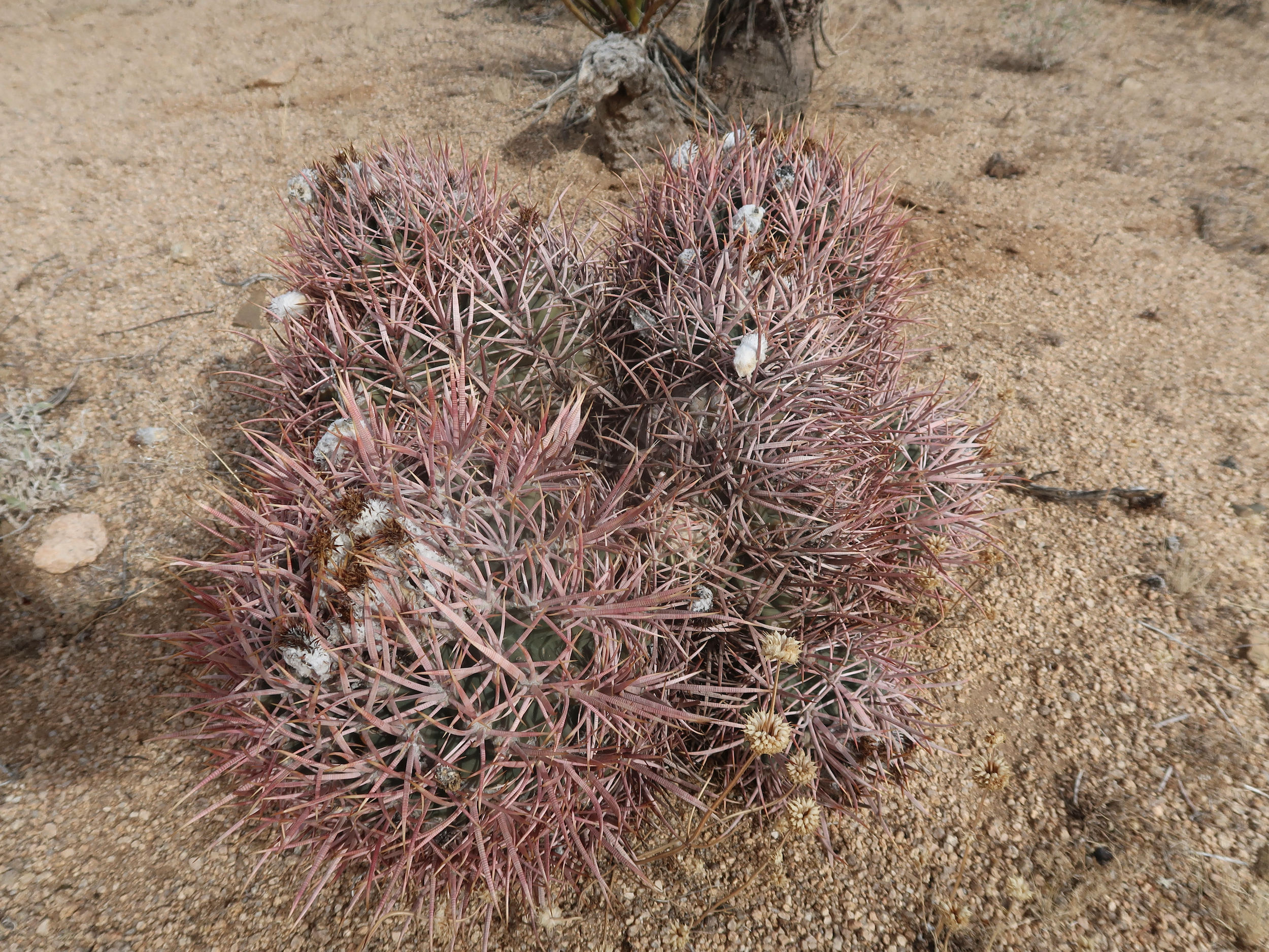
Some fluff on this barrel cactus was the only flower-like thing I saw
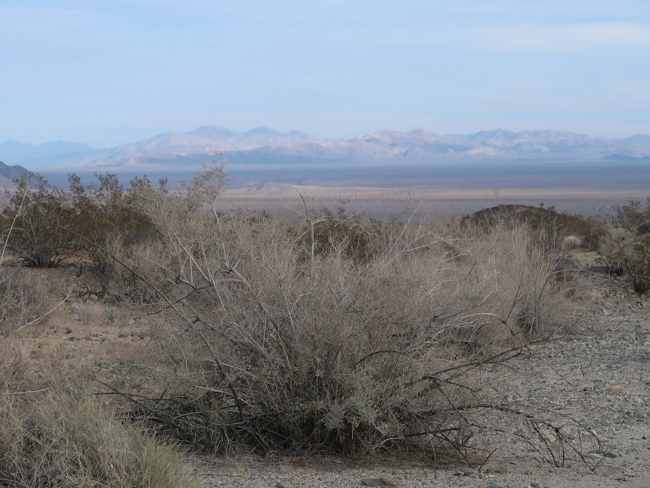
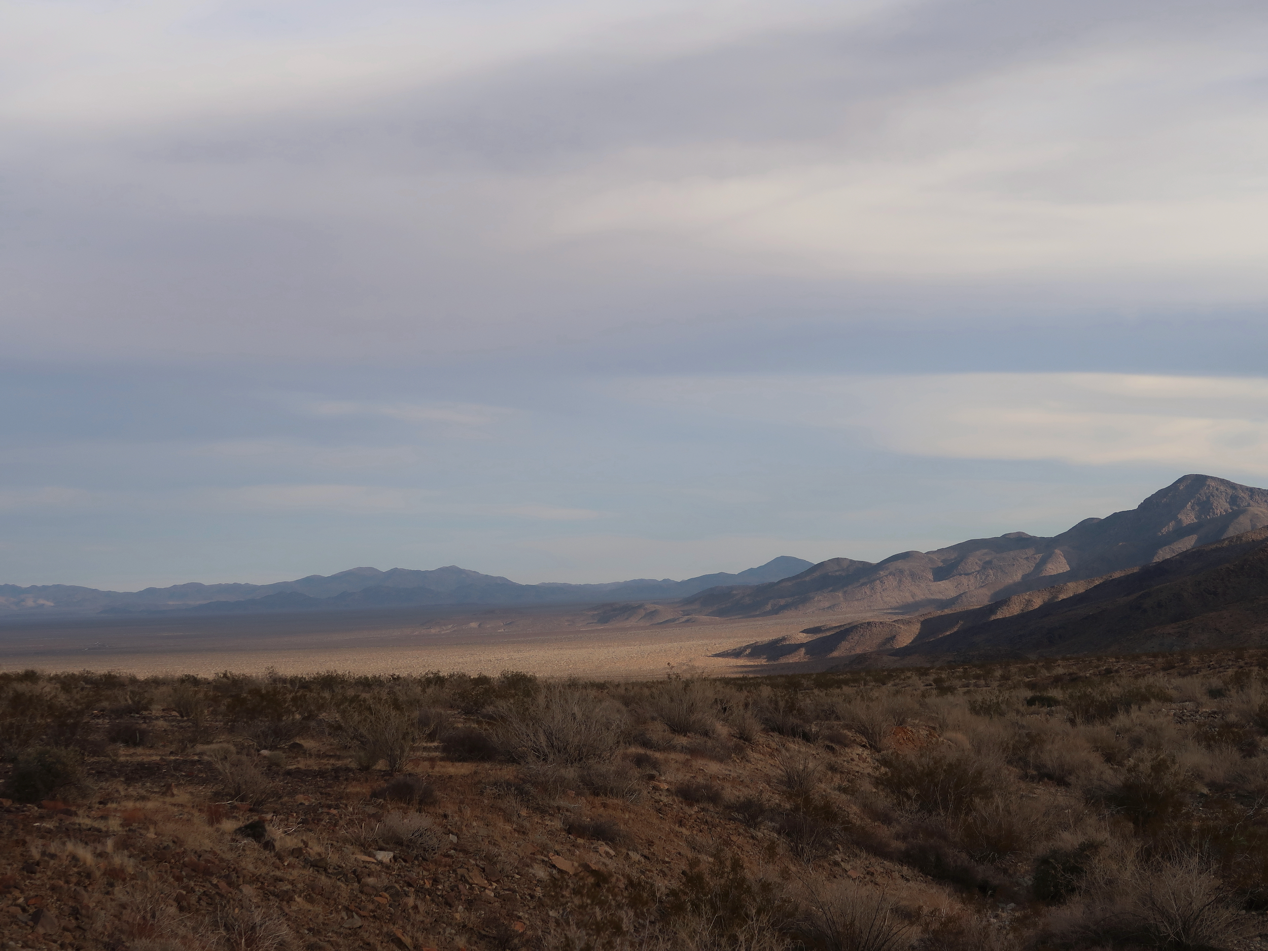
Looking across the Pinto Basin to the Hexie Mountains
I crossed back over the highway and angled up to the base of the Hexie Mountains, making camp at the mouth of the canyon I will follow through the range tomorrow. At this lower elevation (about 2400 feet), it was warm enought to get some quality chair time, watching the sunset, playing a few tunes and having a sip of whisky or two.
Evening light on the Hexie Mountains
And repairing my sleeping pad. I usually take a foam pad because foam pads can’t leak. But this trip I took a Thermarest Neo Air 48-inch pad because I wanted to use a smaller pack and it is more compact than a folded up foam pad.
Many hikers have told me that they’ve hiked months and years on inflatable pads with no problems. But I seem to have a talent for creating holes and leaks. I’ve owned 3 or 4 pads over the decades and all have begun leaking after just a few nights. The NeoAir is no exception. I had to blow it up 4 times last night.
I managed to find a pinhole by blowing it up and running it past my ear, listening for leaks. I couldn’t hear the leak, but I could feel it on my ear when I squeezed the pad. Also on my lips and nose, but not on my fingertips, which says something about the relative densities of nerve endings on these body parts I suppose. I patched the leak, we’ll see if it holds or if there is another leak.
33.91863, -115.94768