Apr 30
Spent yesterday taking a zero at Hikertown as my feet were still sore from the 20 mile road walk the day before. They are still sore, but you just kind of get used to that.
For the last 200 miles or so I have been walking mostly west, following the great transverse coastal ranges of Southern California – the San Bernardinos and then the San Gabriels. I’ve now hit the intersection of the south end of the Tehachapis ( themselves an extension of the Sierras) with the west end of the San Gabriels. The Mojave Desert here has its westernmost reach, a corner between the two ranges.
Logically the PCT might contour around this corner, staying up on the crest, but instead it descends to the desert floor to cut a hypotenuse between the ranges.
This section of the PCT is generally disliked and dreaded by most hikers as it is usually hot, dry, windy and not very scenic. The trail follows the California Aqueduct, which is covered and inaccessible.
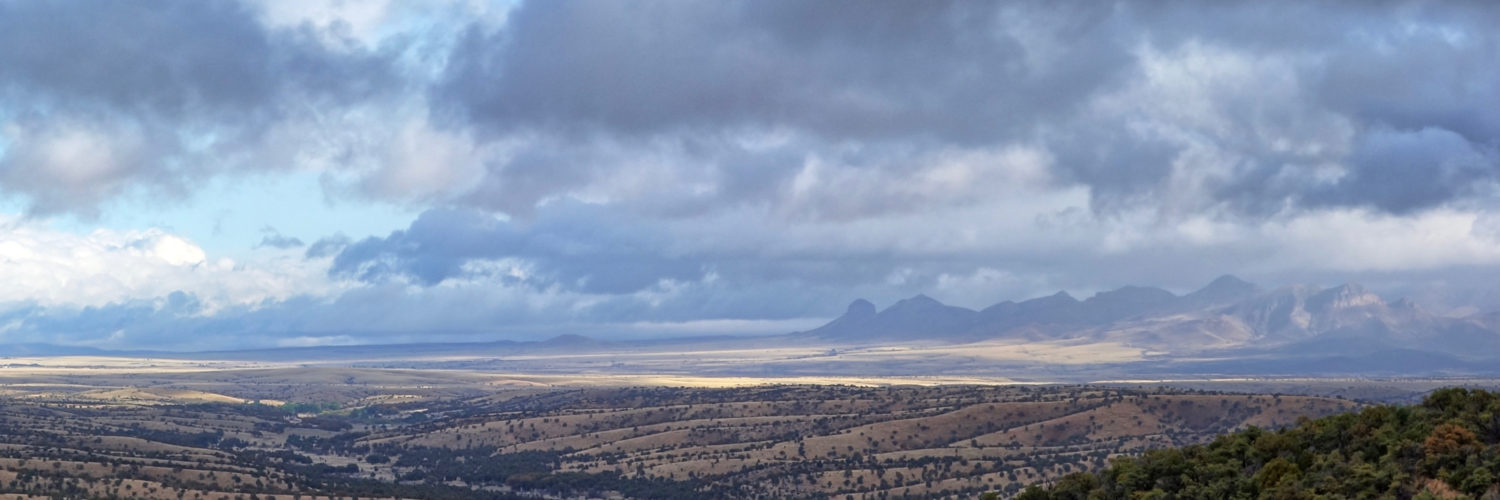
Other than the wind, which was blowing at gale force from the east, it was not so bad: temps in the 70s, clear views of the mountains, and a pickup stopped and handed me a cold beer.
After 16 miles I came to a faucet drawing from the aqueduct, along with a wind shelter in the middle of a wind farm, and decided to call it a day.
Wet Burrito showed up before dusk and we cooked dinner and talked as the wind died and the coyotes began to sing. Not a fabulous day, but a pleasant one, and that is plenty good enough for the dread Mojave.


