The dwindling daylight of winter got me thinking about hiking the desert again: somewhere warm, or at least warm enough that I could light out on a trail and stretch my legs and not have to strap anything on my feet in order to move across the landscape.
Not that backcountry skiing is so bad, but the snowpack has been slow to materialize this year. Without a couple of feet of consolidated snow, you can’t pitch a tent–driving a stake into frozen ground just isn’t feasible.
I hate what air travel has become and would rather not spew the carbon that it entails, so I spent a few evenings trying to come up with a plausible plan for getting to a warm desert trailhead without flying.
I failed. There is no way to get to the desert backcountry of southern California/Arizona/Texas that does not involve 2+ days of train and bus travel and even then costs more than flying. You can only go due east and west by Amtrak from Denver. Getting to Texas means first going through Chicago. Getting to southern Cali or Arizona requires going to San Francisco.
So I gave in and booked a flight to Palm Springs, which is close to Joshua Tree National Park.
Of course it was a terrible experience, as air travel always is these days. The first flight delay notification hit me after I was already on the bus to the airport, too late to turn back. The second additional delay was announced after I had checked my backpack.
I arrived 3 hours late, well after dark, and waited an extra 45 minutes for my pack to travel 100 yards from the plane to the bag claim at the tiny Palm Springs airport.
At least my rental car was still available. I got in, found a Walgreen’s still open (it was after 9), loaded up on water to cache and alcohol for my stove. I had planned to cache water this evening, but it was too late for that so I just drove up to Ryan Campground in JTNP where I had reserved a site.
I found it occupied by a site poacher. I could have rousted them, but it was late so I just parked at the trailhead, quick-pitched my tarp nearby, crawled in and slept.
The site poacher left before dawn. I was out soon after. My plan was to cache water and return the car to the airport by 10:30 am, to catch a bus to Yucca Valley, which sits on the northwest corner of JTNP.
I set my caches and made it back to the airport, boarding the Yucca Valley bus with a good minute to spare before it left. An Uber took me the remaining 5 miles from the transit station to Black Rock Campground, where I filled up on water and finally (finally!) started walking.
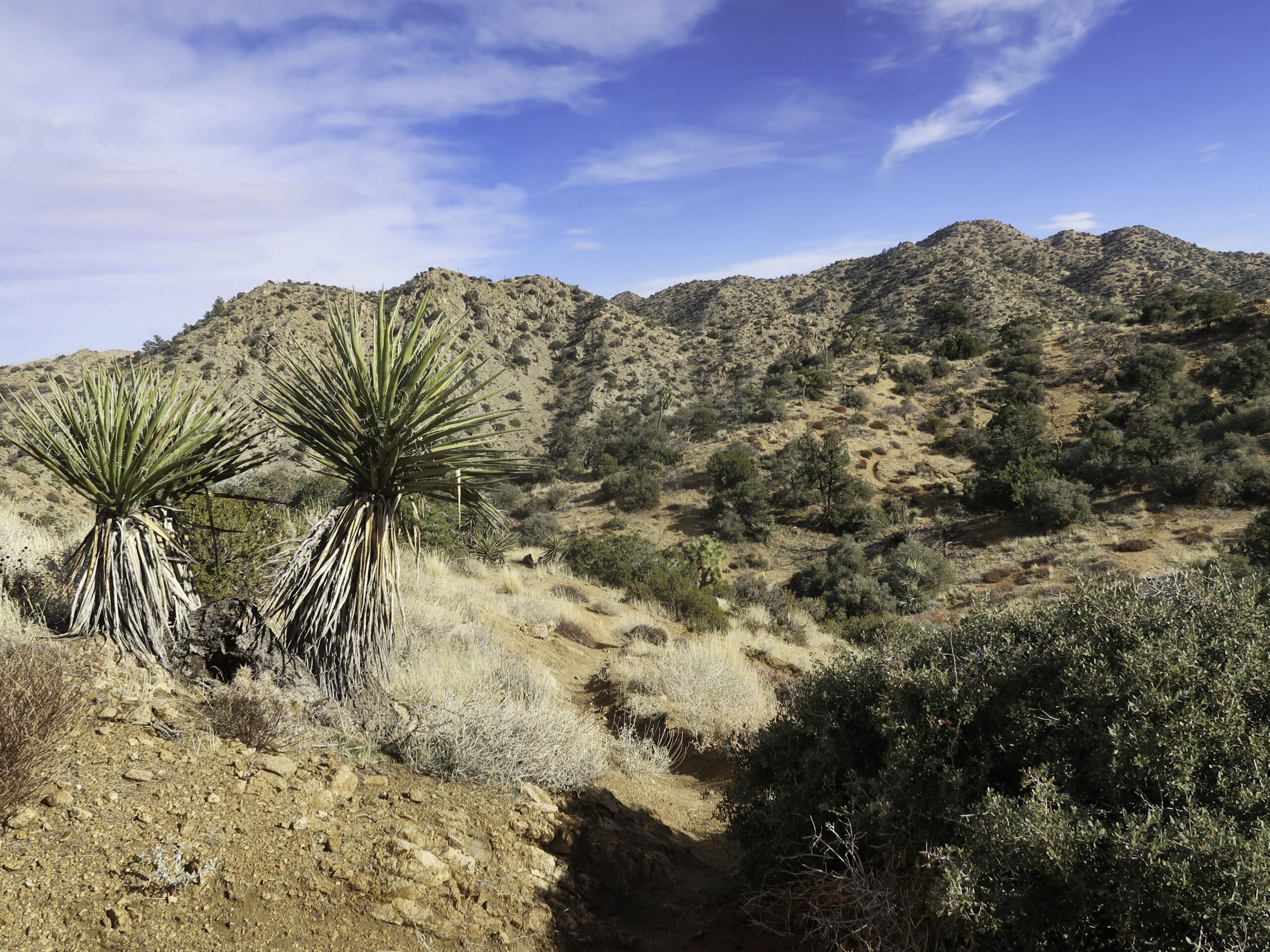
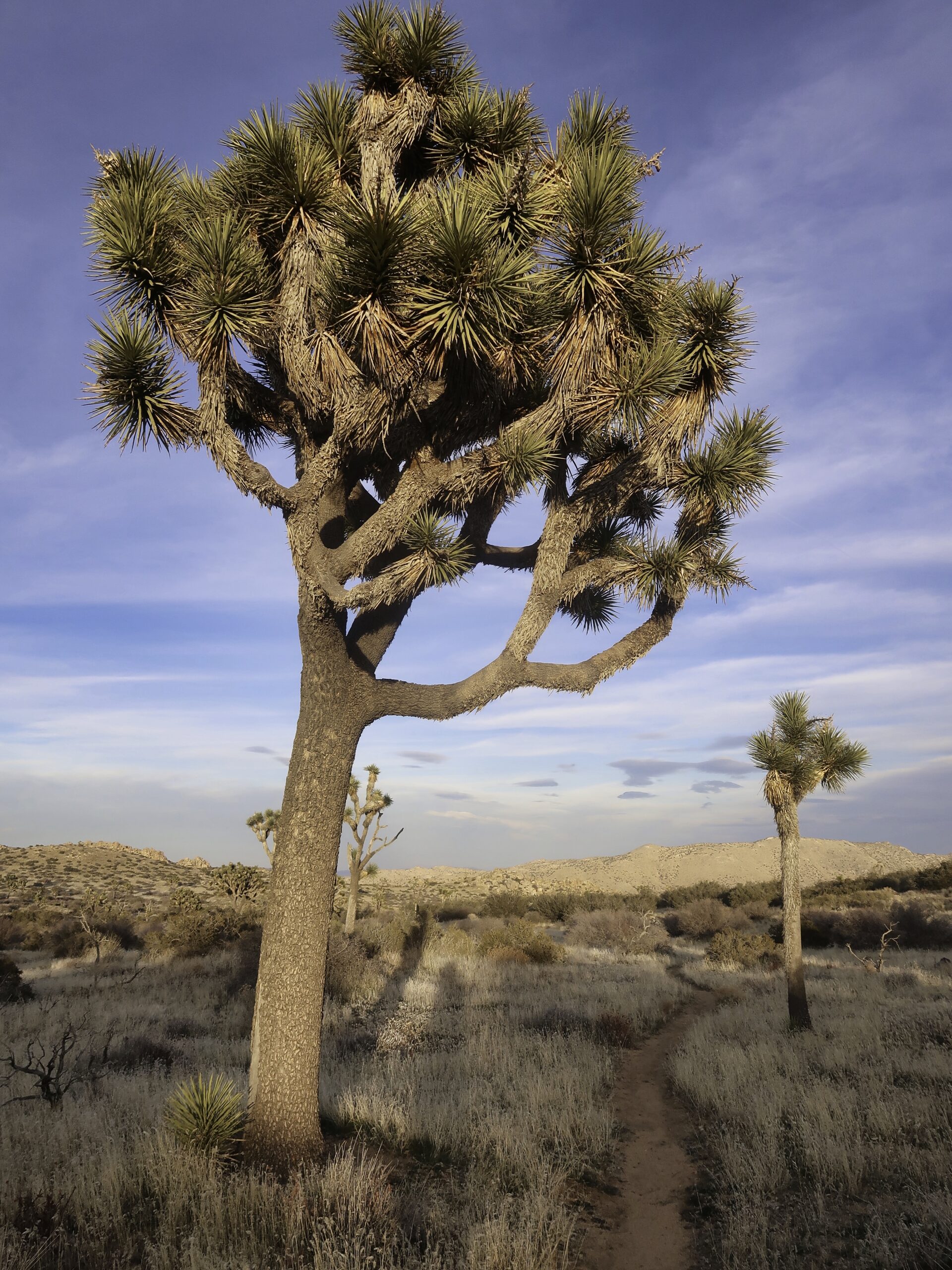
The west end of JTNP is high desert, mostly at or above 4500 feet elevation. There is quite a network of trails weaving through the hills here, entering small valleys, some with live oaks and ponderosa pines, then popping over a ridge to the next one. I had to keep referring to my map (ie, my phone) at each of the many trail junctions.
It was good hiking. Nice trails, pleasant scenery, although the views were limited. It was especially good to see the plant life hanging in there. Although it rained a lot last year, the long-term drought persists and puts many desert plant communities in peril. I hope there is decent rain this year also so that the younger plants have a couple of good years in which to establish themselves. Of course I would prefer that rain to hold off until I am done hiking.
I had thought to take the trail that goes up Eureka Peak, at 5500 feet a high point of the park and one that should have good views of Mt San Jacinto and the Coachella Valley. However a cold wind had got up and I found it easy to talk myself out of an exposed climb of a thousand feet. Especially while carrying 6L of water and 5 days worth of food.
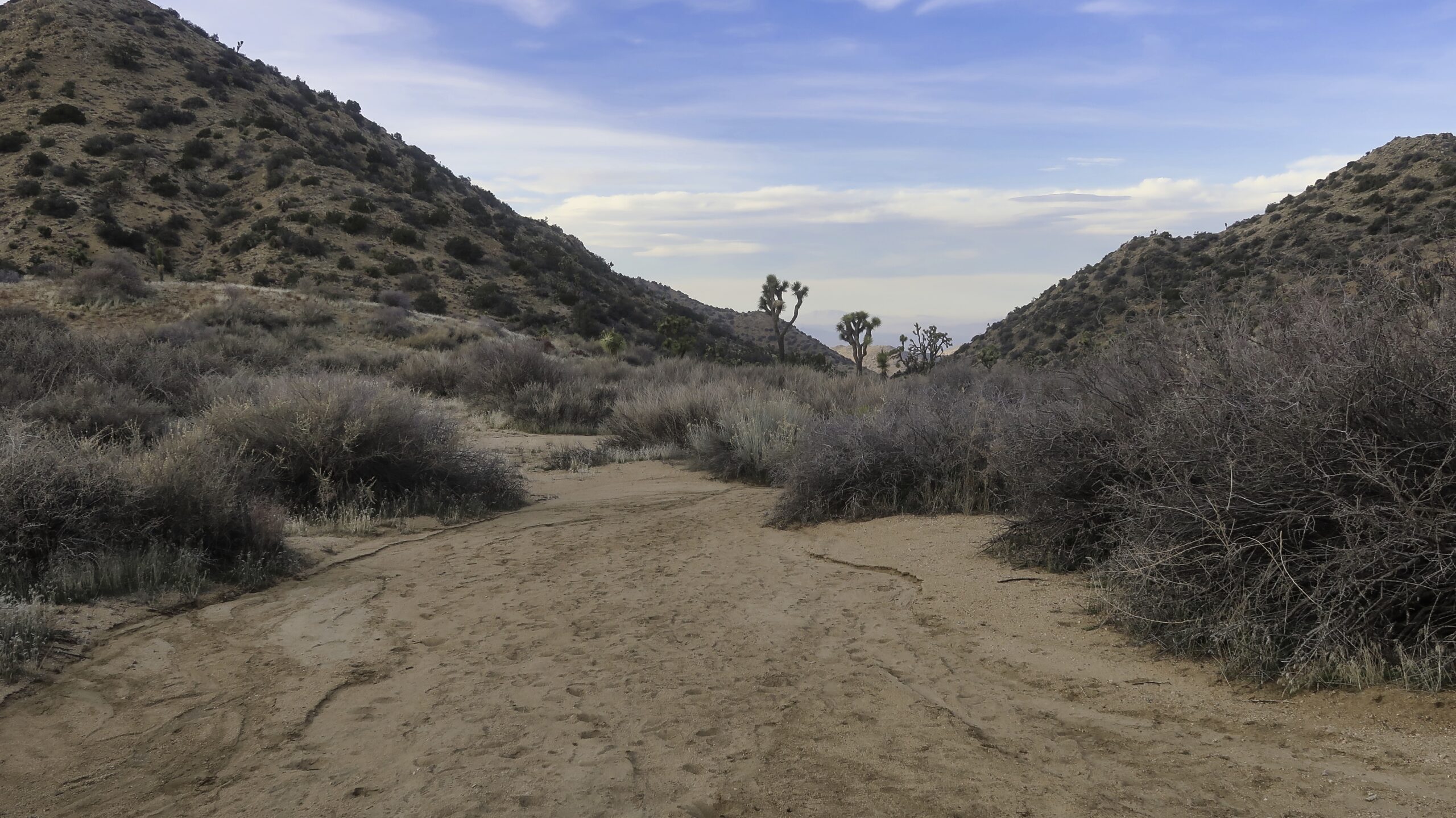
I bailed out down to the California Riding and Hiking Trail, following a narrow rocky and brushy gully. It emptied out into a broad wash which I took a couple miles up to pop out at Covington Flats.
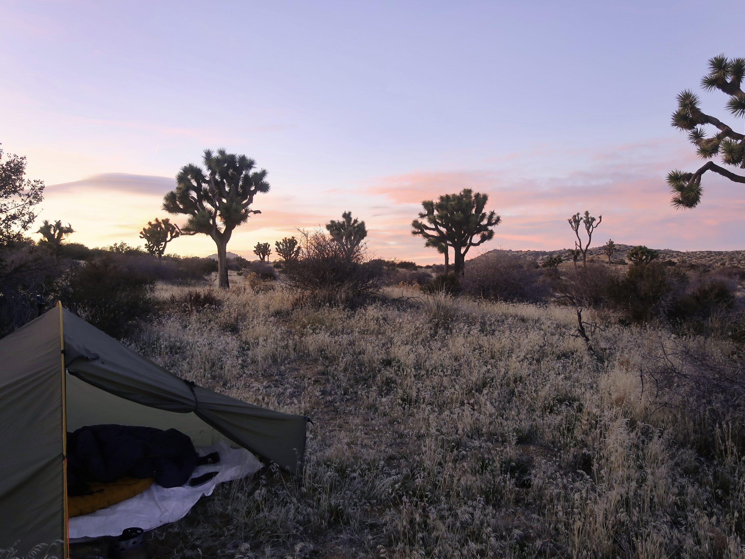
Last year’s record rains left the Flats a dry grassland this year. I couldn’t find a bare spot to camp and settled for a grassy spot behind some low junipers that made a good windbreak.
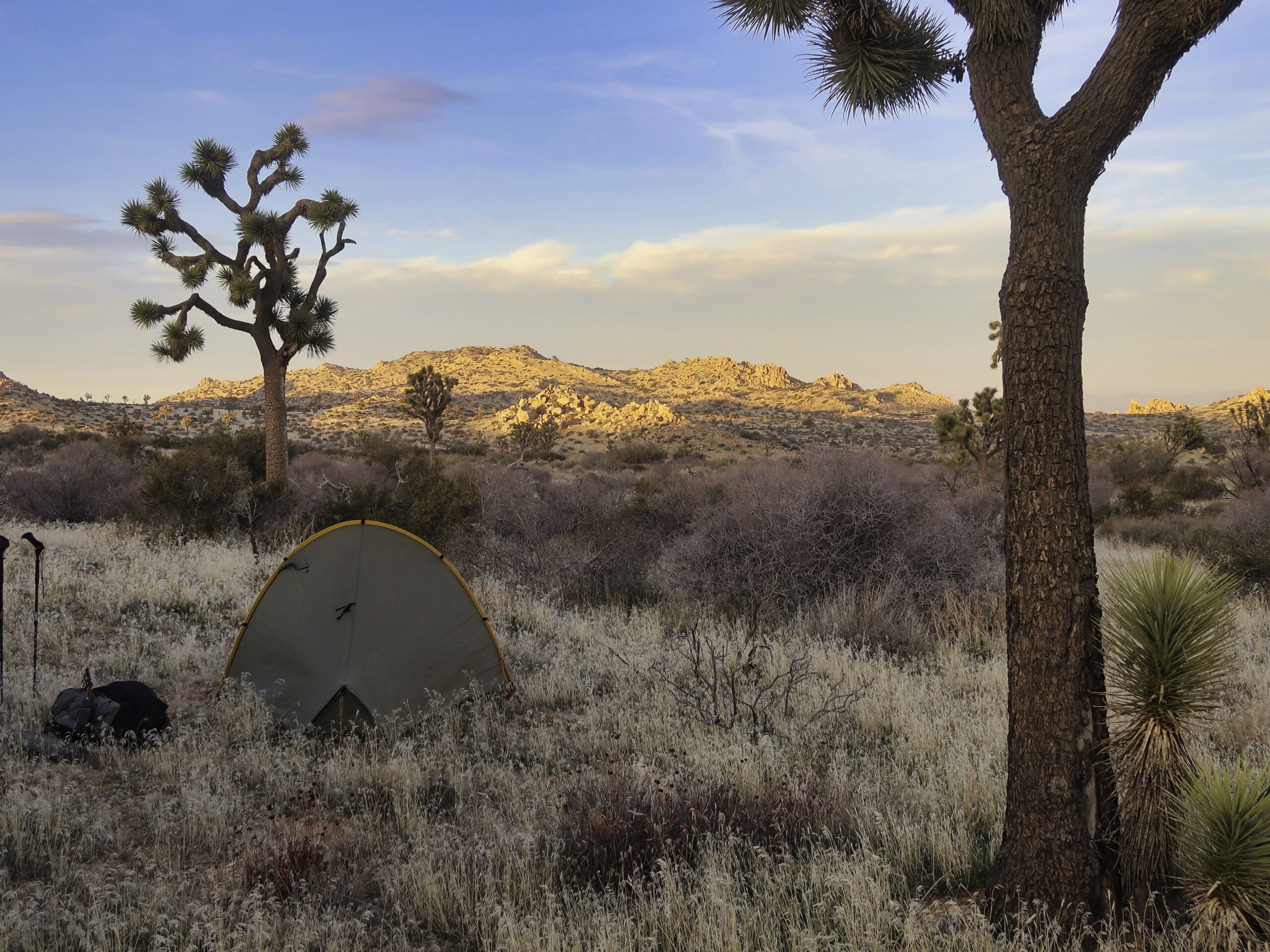 The wind died as the sun went down, making for good sunset viewing weather. However the temps dropped right along with the sun. My tarp was quickly dew-soaked, outside and in. The dew froze into a coating of ice well before midnight and I found myself donning more and more layers to keep off the chill.
Well it is January and I am at 4800 feet, even if it is California.
34.02240, -116.32617
1 thought on “Winter hike in Joshua Tree – Black Rock to Covington Flats”