

Capitol Lake to Aspen to Glenwood Springs to the Fryingpan River
Not much of note on the walk from Capitol Lake to Snowmass. Most folks left the campground at 3-4 am to go summit, so it was pretty quiet when I got up at six. In fact, I don’t think there was another soul in the campground. I was the only non-peakbagger.
Lower Capitol Creek is given over to grazing and the amount of cow diarrhea on the trail was positively a hazard. I had to tread carefully to avoid slipping and falling.
Although there is a trailhead at the bottom of Capitol Creek and I could have tried hitching from there, my plan was to walk to Snowmass and get the shuttle bus. That of course meant another 2000 foot climb to get from the Capitol basin to the Snowmass basin.
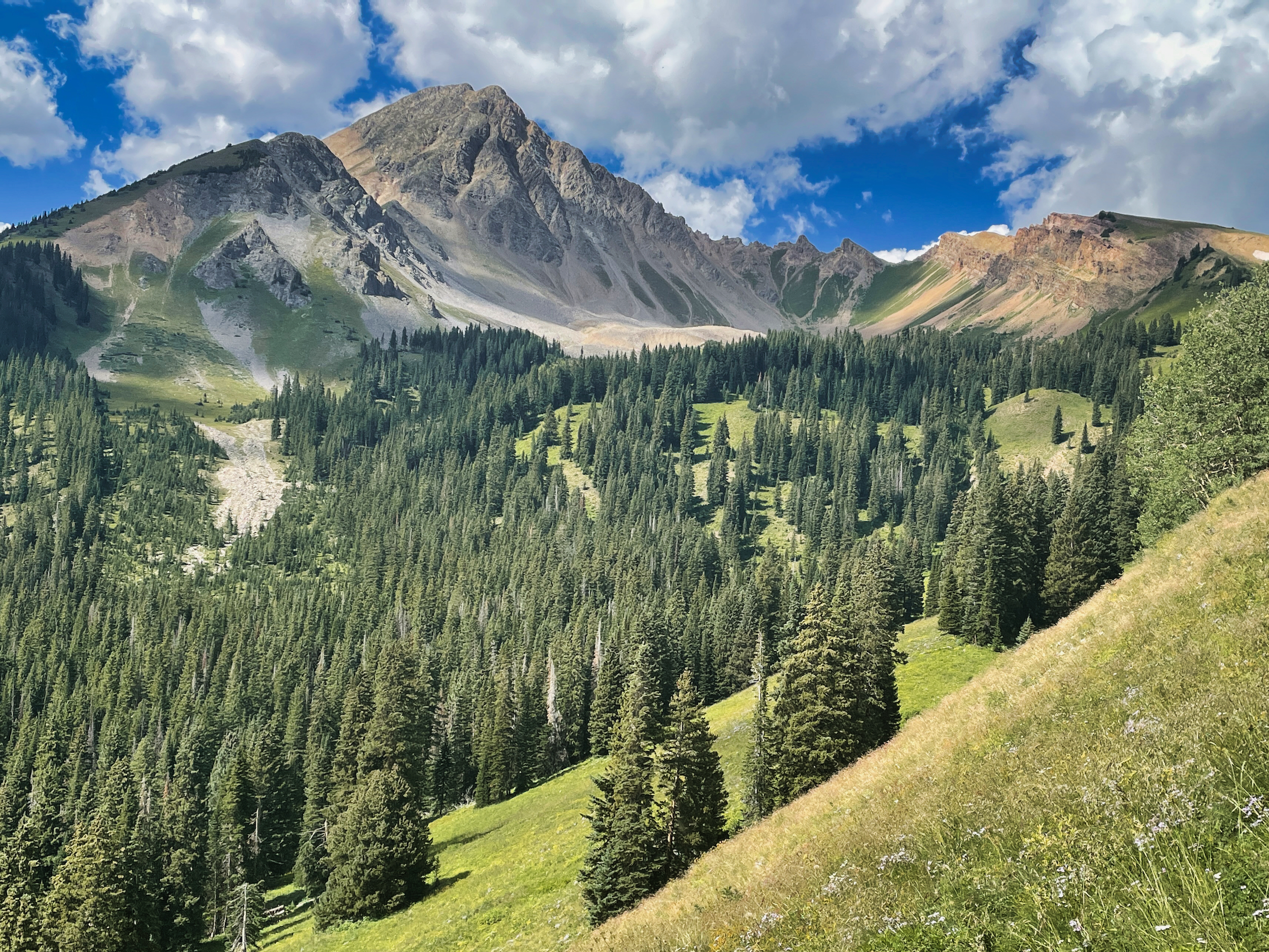
Snowmass Mountain
The trail deteriorated as soon as I began heading up. The pattern of maintenence became apparent: all the within-basin trails are in good shape, facilitating out and back backpacking but the trans basin trails are poor.
Somehow I had gotten the idea that the shuttle buses extended out to the Snowmass TH, but that was a fantasy. There were plenty of cars at the trailhead, but no sign of a shuttle stop. My choice at that point was to hike or hitch 8 miles down to Highway 82 to get a bus, or walk 3-4 miles into Snowmass itself on a dirt road. The distance wasn’t so bad, but there was a 1000-foot climb involved. Although the climb was apparent from the map, the lack of shade was not. I found myself once again on a steep hot shadeless roadwalk, a recurring feature of this hike that I was really coming to detest.
Mercifully, the third car that passed gave me a ride for the last mile into town.
That roadwalk, and the generally poor condition of the trails, convinced me that I should scale back the scope of this hike. Rather than hike all the way to Nederland, I would finish at Frisco where I could take the Bustang to Denver and then the regional bus back to Boulder. It would still be a low-carbon hike, just not as long.
Just as importantly, I would not have to push so hard every day to stay on track for packrafting the Rio Chama and could find time to fish and otherwise relax.
I can’t recommend Aspen as a trail town. Accommodations are crazy expensive ($230/night for a shared-bath hostel room). There was only one brewpub in town, and it was undistinguished at best. I did treat myself to a steak however.
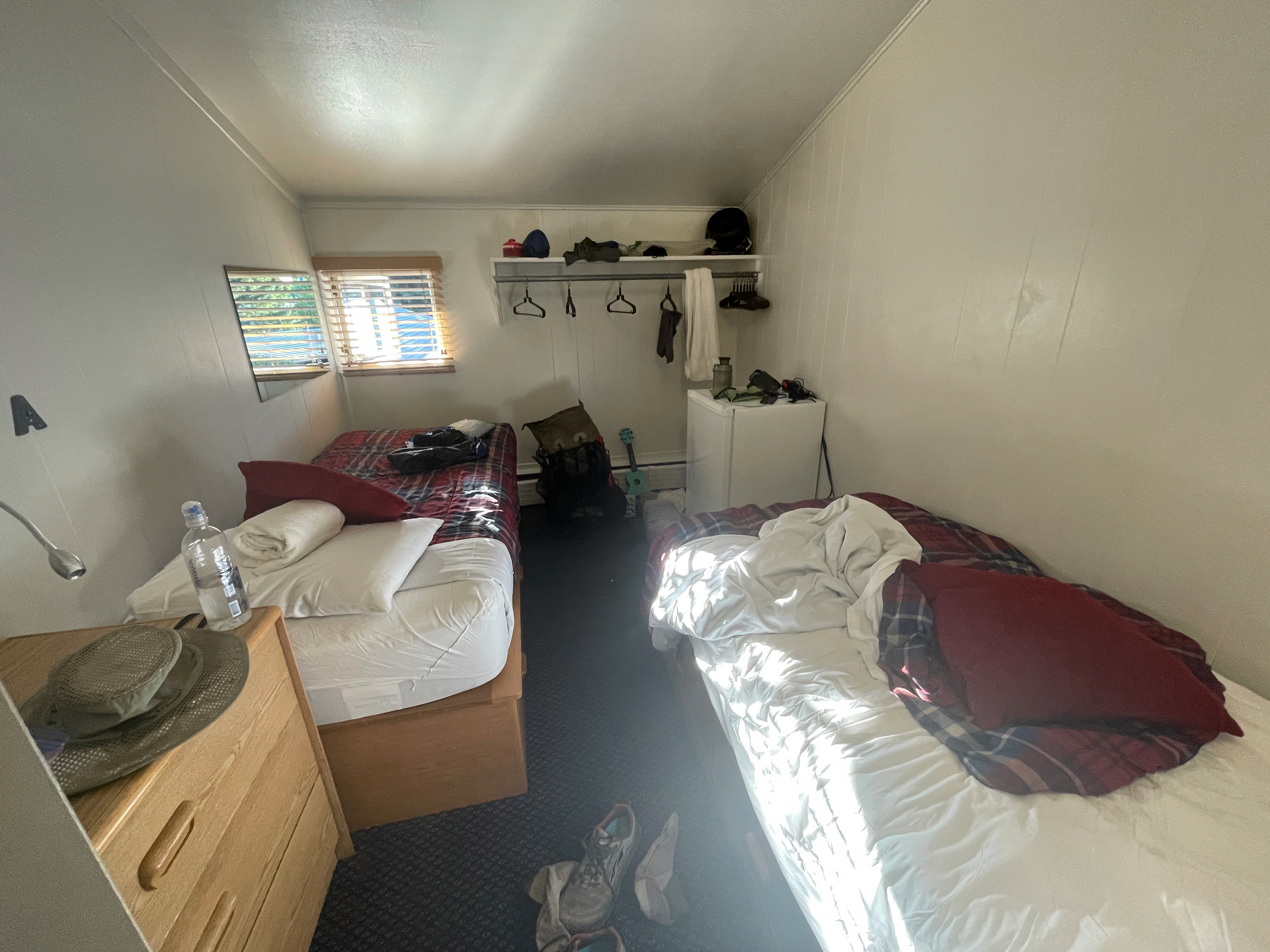
What $230 buys you in Aspen
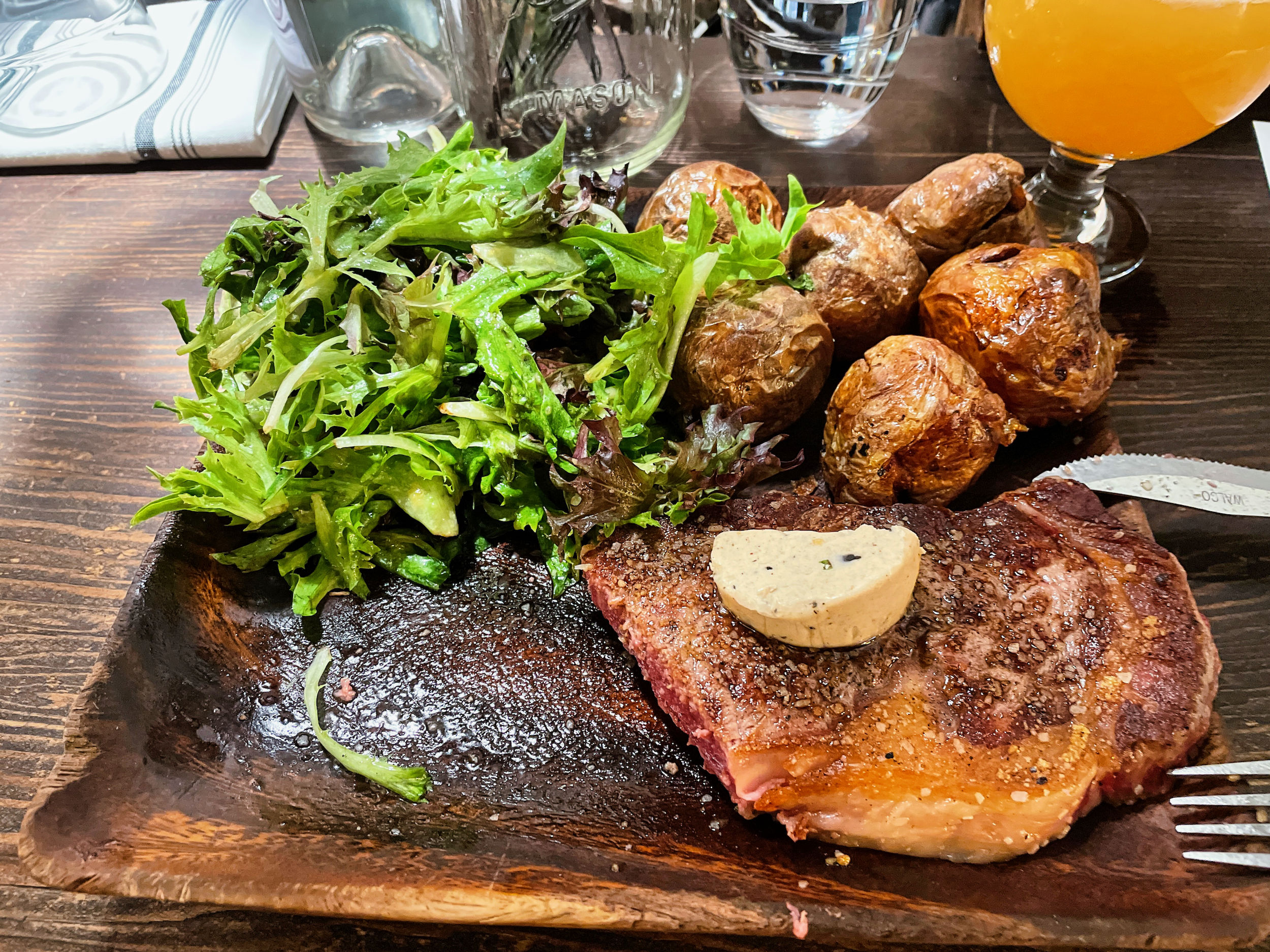
This steak was pricey but worth it
Fortunately Aspen does have excellent public transportation. The next morning I hopped on the bus to Glenwood Springs ($5 adult, free to seniors like me), got a motel room and spent most of the day soaking at Iron Mountain Hot Springs and had an excellent dinner of mole enchiladas.
My original plan had been to walk out of Aspen to Woody Creek and thence over the divide to the Fryingpan RIver. But coming down from Snowmass I saw that the ridge separating Aspen from Woody Creek was another south-facing shadeless climb. No thanks. I simply was not up for another hot shadeless climb (a PUD at that) and arranged a taxi ride to the Lenado Trailhead on Woody Creek.
The walk up the creek was delightful, a stroll through lush mid-altitude vegetation. I felt much stronger than I had the last few days. It was a 1600 climb to the divide overlooking the Fryingpan basin, but I was not struggling so much. I saw another bear foraging along Spruce Creek.
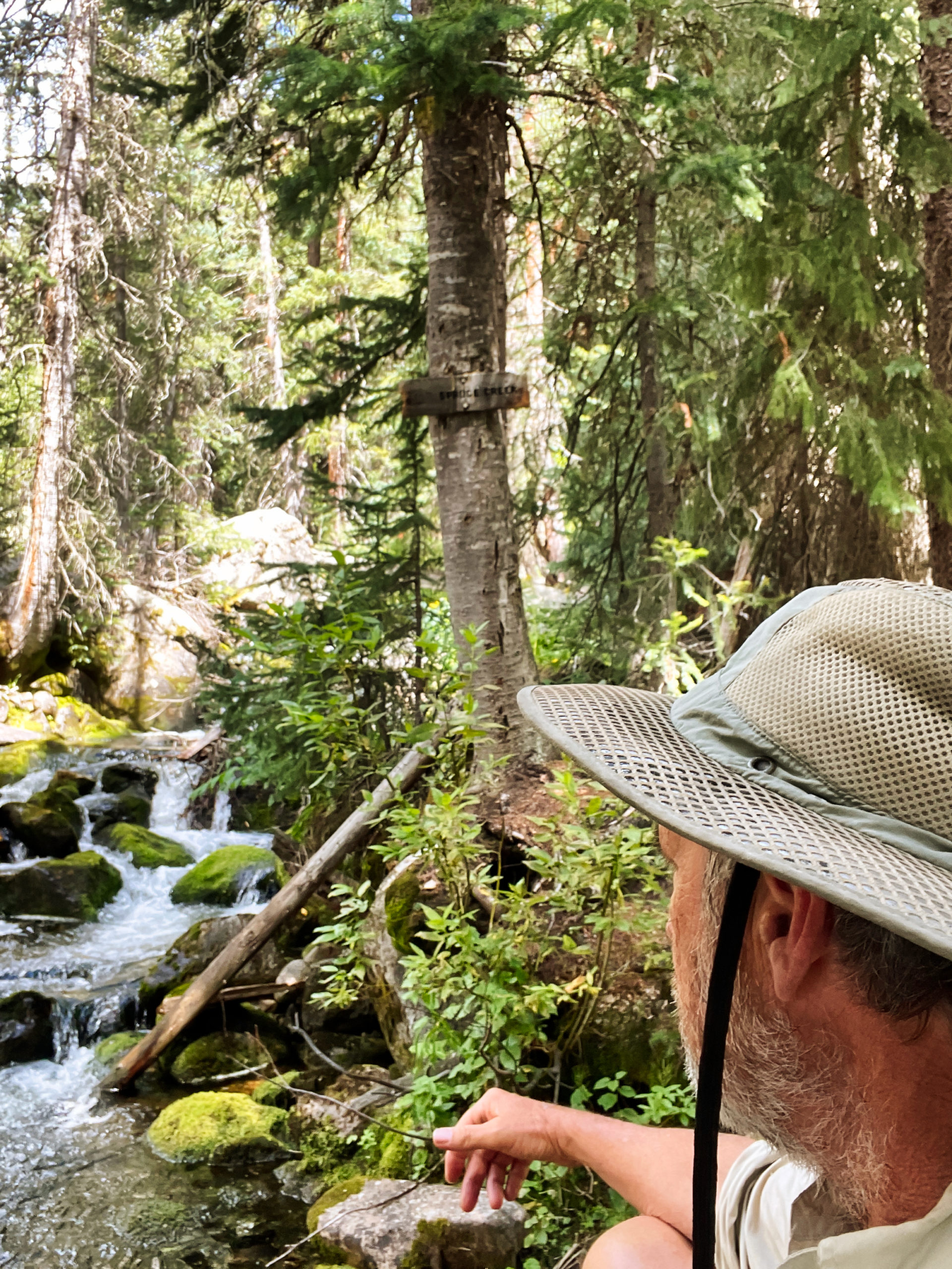
Taking a break along Woody Creek
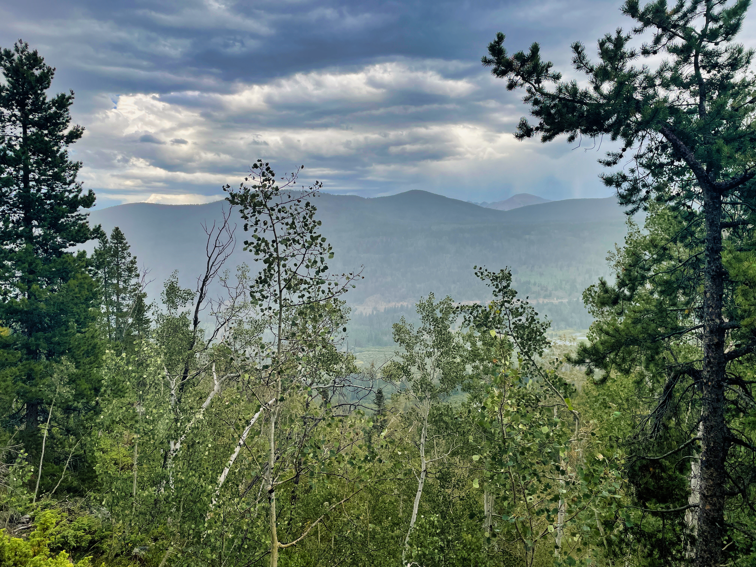
Clouds and thunder moved in soon after I gained the divide. My planned route was all sidehill down to the Fryingpan River. Prospects for a decent campsite were not great. I detoured instead to the Chapman CG, walking through the rain.
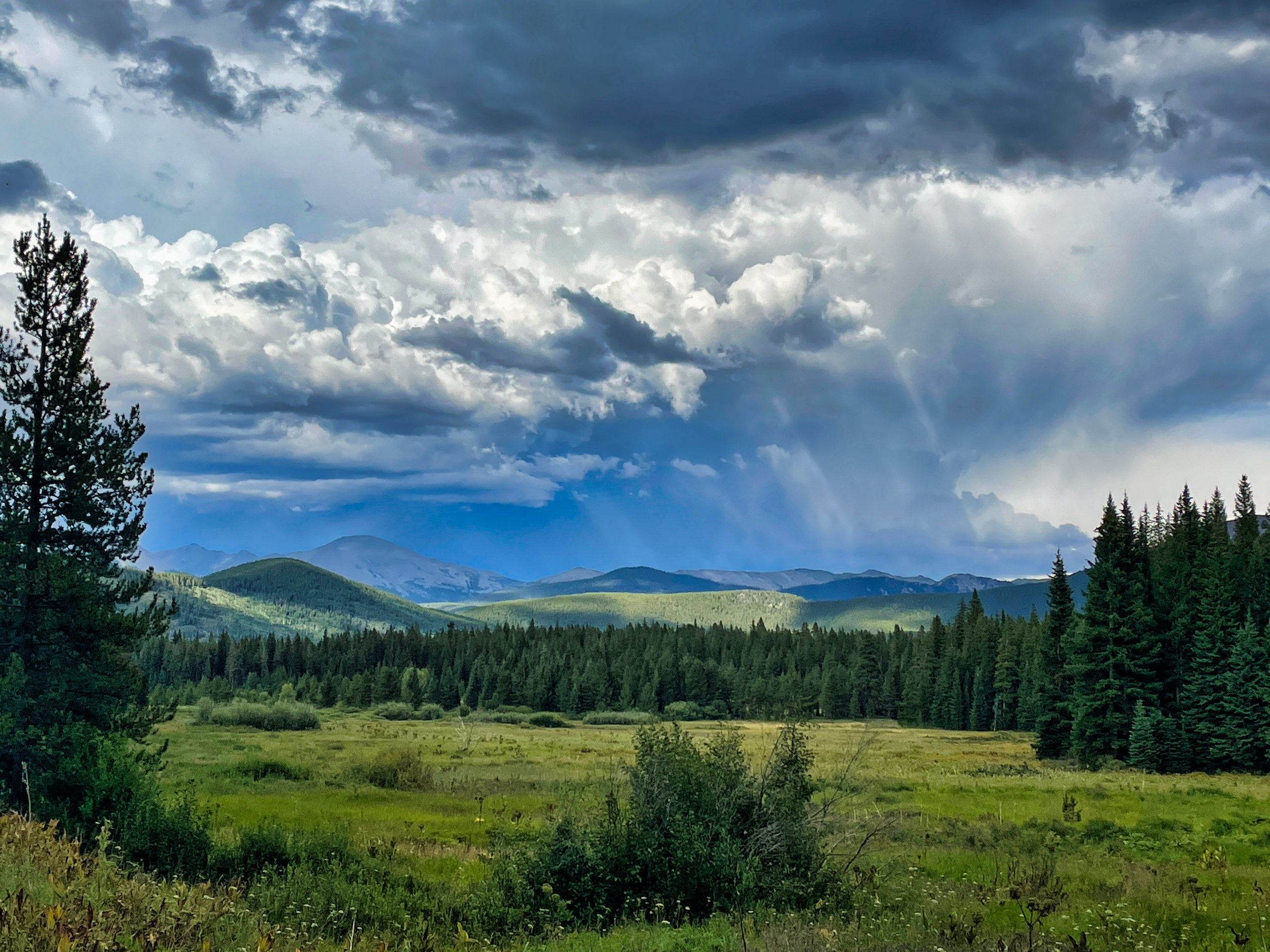
Clouds moving in
It was a good choice. There were plenty of good sites, and miraculously, no one ran a generator. The rain paused while I set up camp and made dinner and then resumed after I turned in.
Showers on the way to Chapman CG