Lost Creek to Capitol Lake
After a bit of light rain in the evening the skies cleared for a full moon. The light reflected off the towers above, warm yet aloof, like so much of the natural world.
Clouds were back in the morning but quickly dissipated as the sun asserted itself.
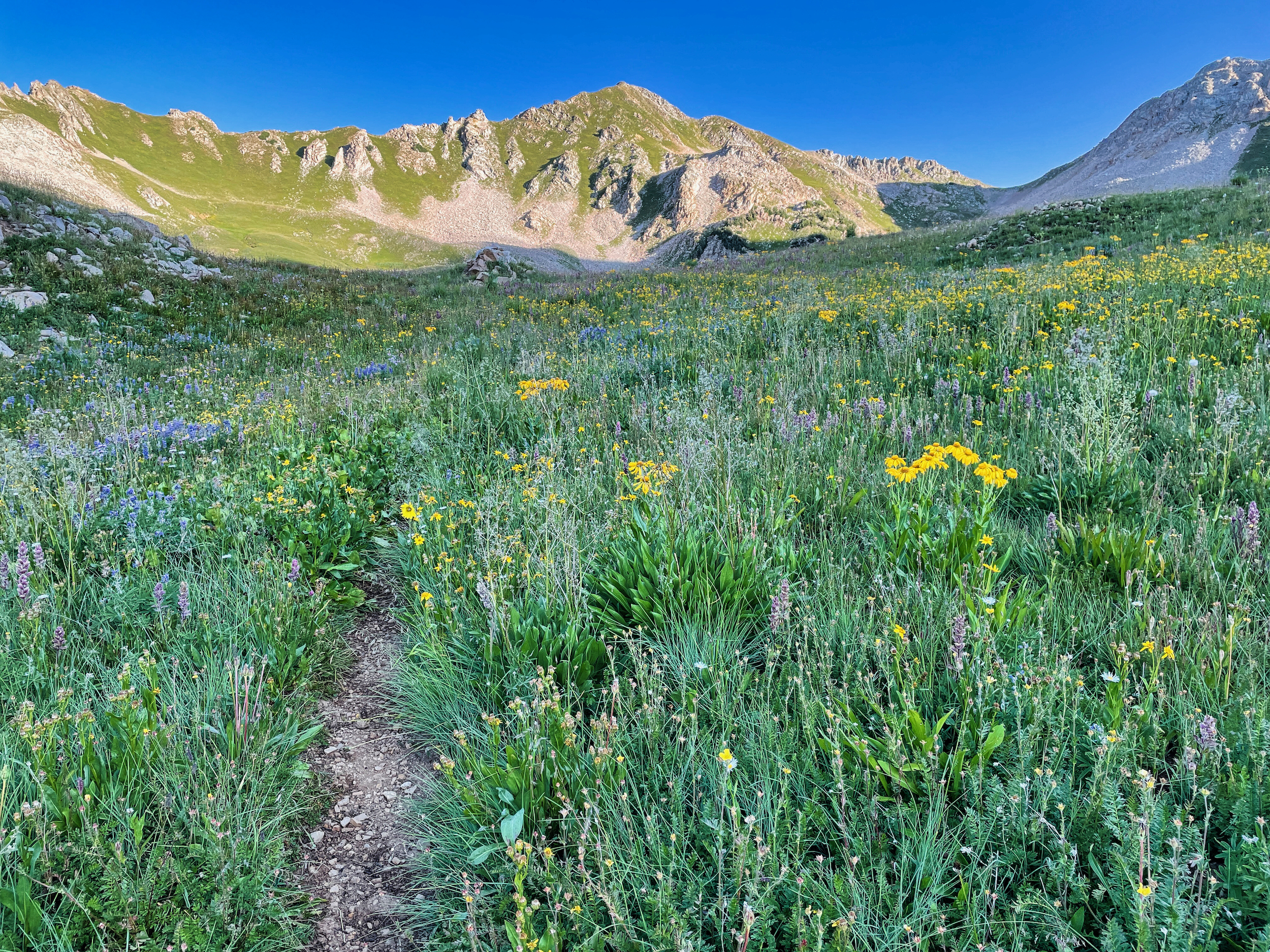
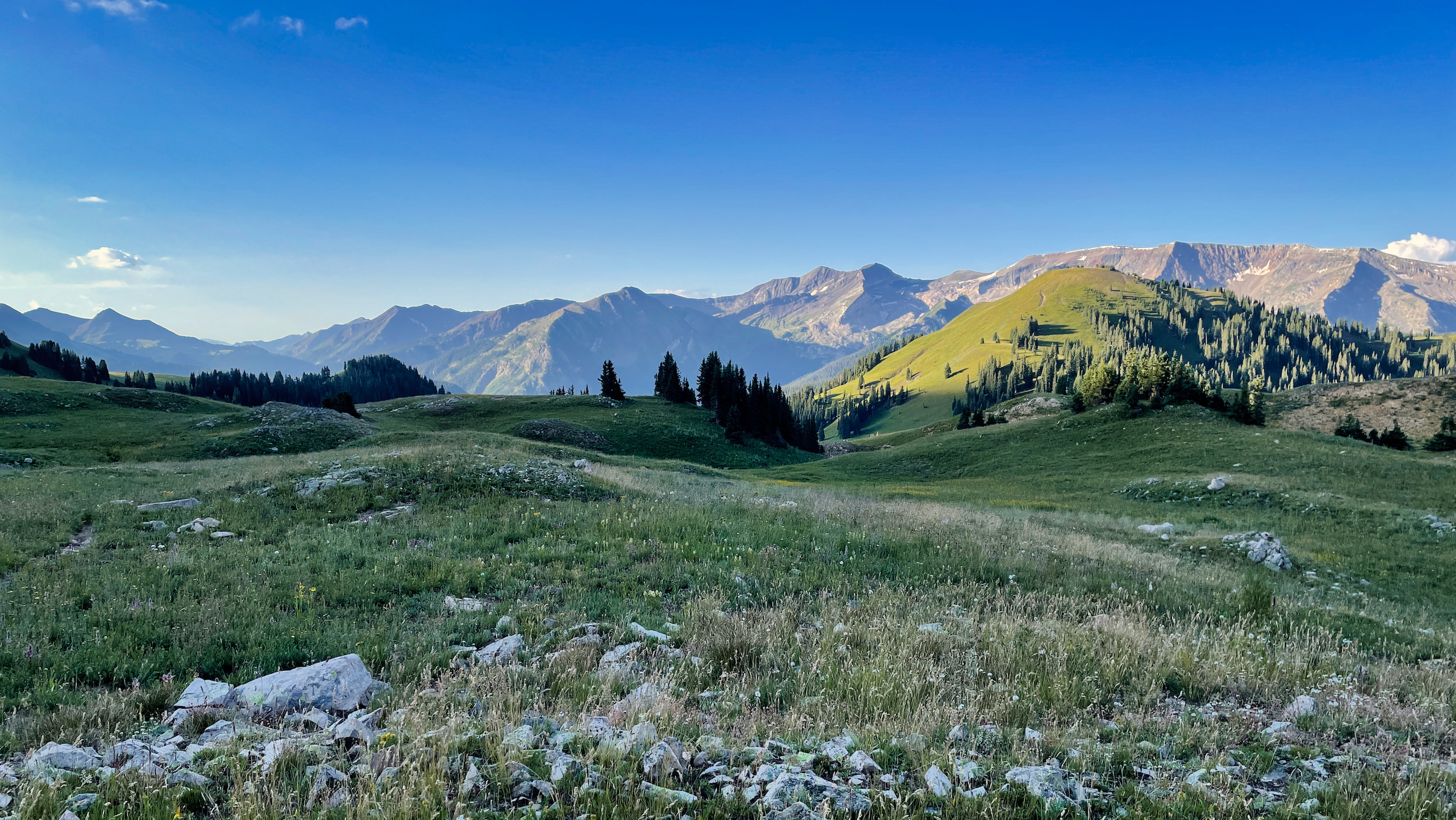
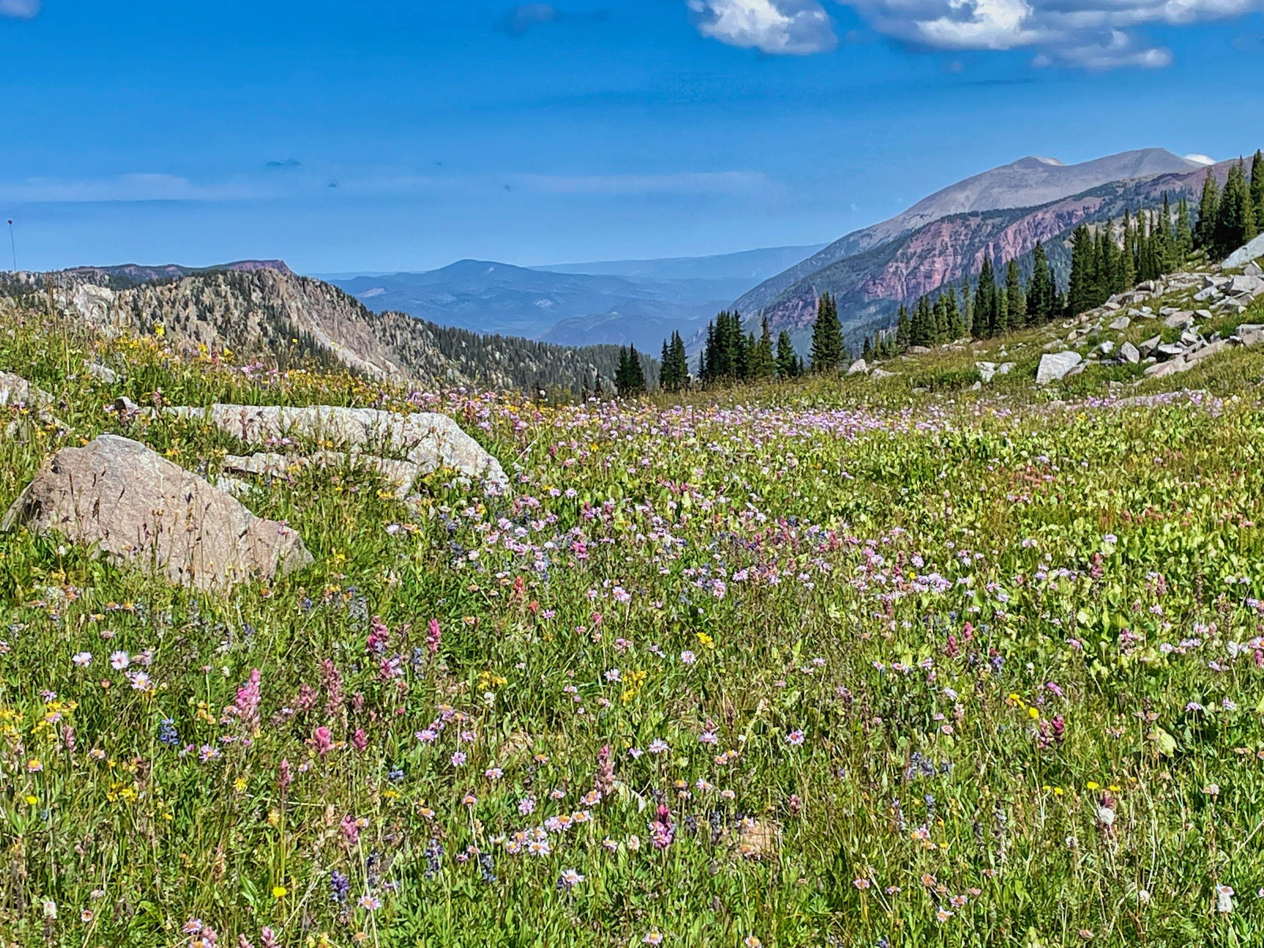
The morning climb was about 2000 feet up the unnamed pass which separates the Crystal River valley from Avalanche Creek. The land is rich here and the trail is fine, winding up sloping meadows riven by musical springs. I know it doesn’t look like it in the pictures, but the flowers were spectacular.
I gained the pass soon enough, and looked back one last time at the Ruby Range, which delineates the eastern bounds of the Raggeds Wilderness.
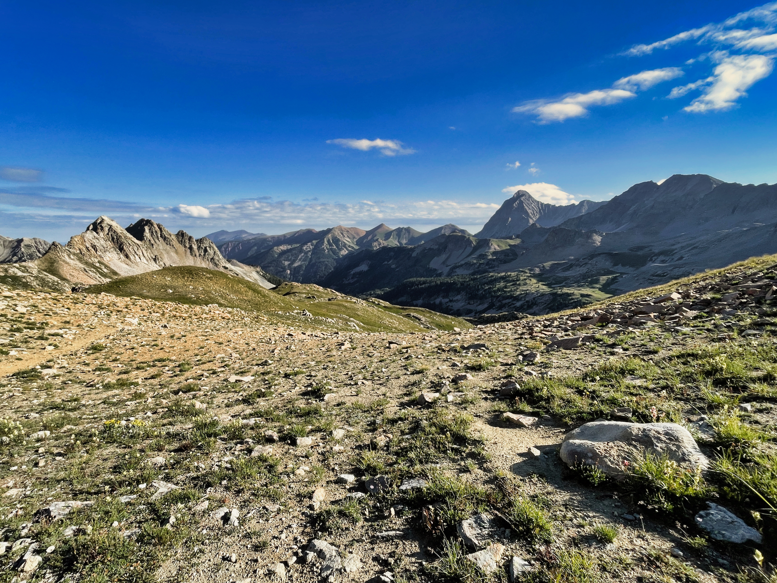
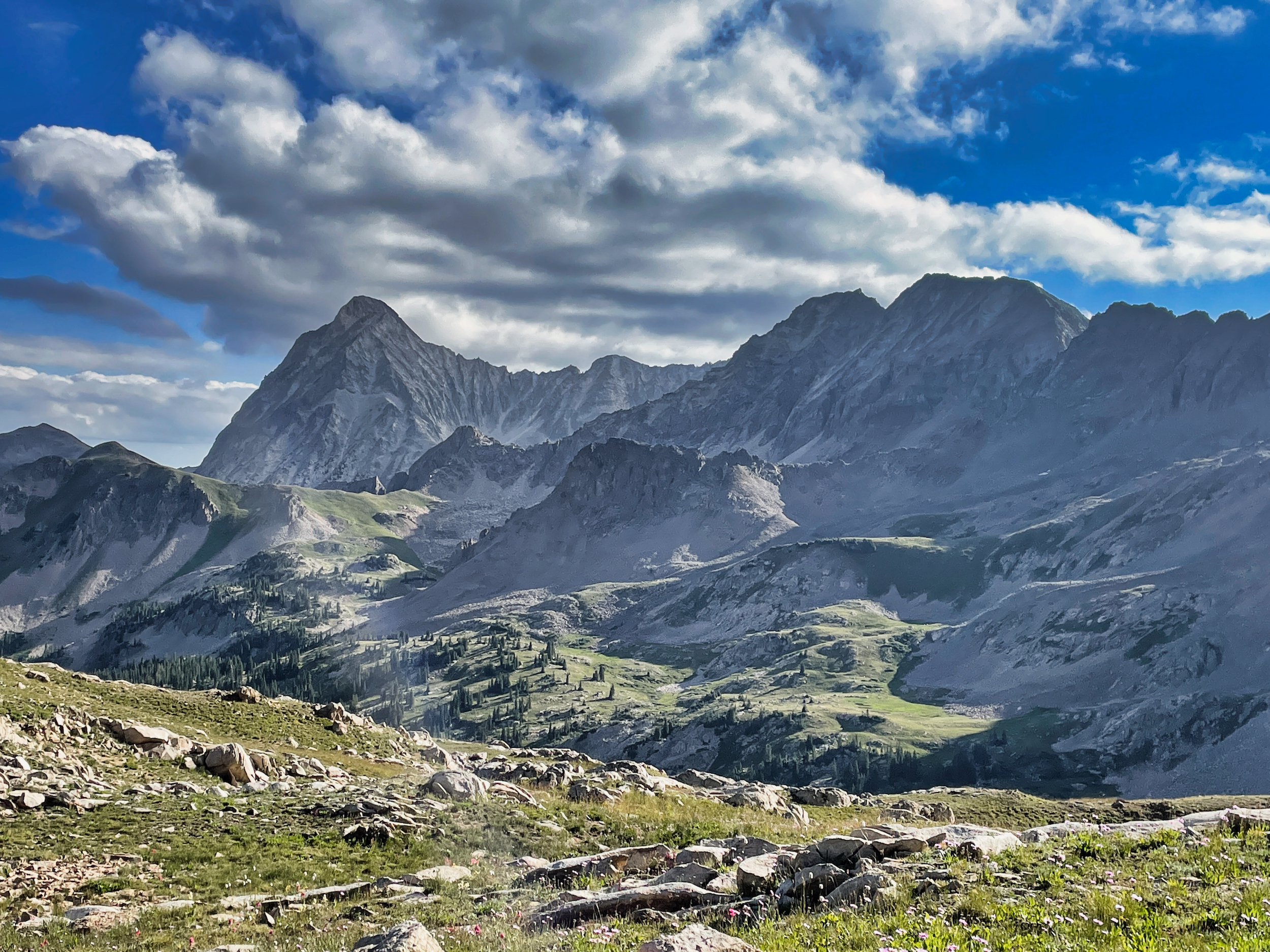
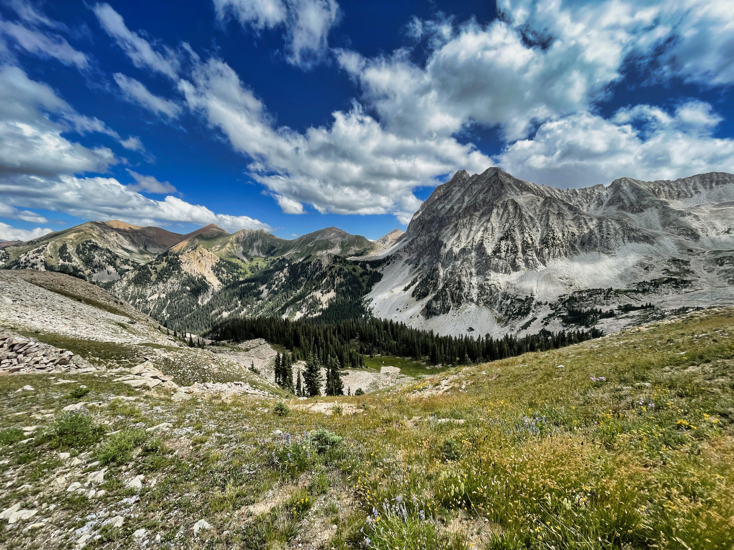
Ahead of me was Capitol Peak, which–in this light and from this perspective–might more aptly be named Mt Doom.
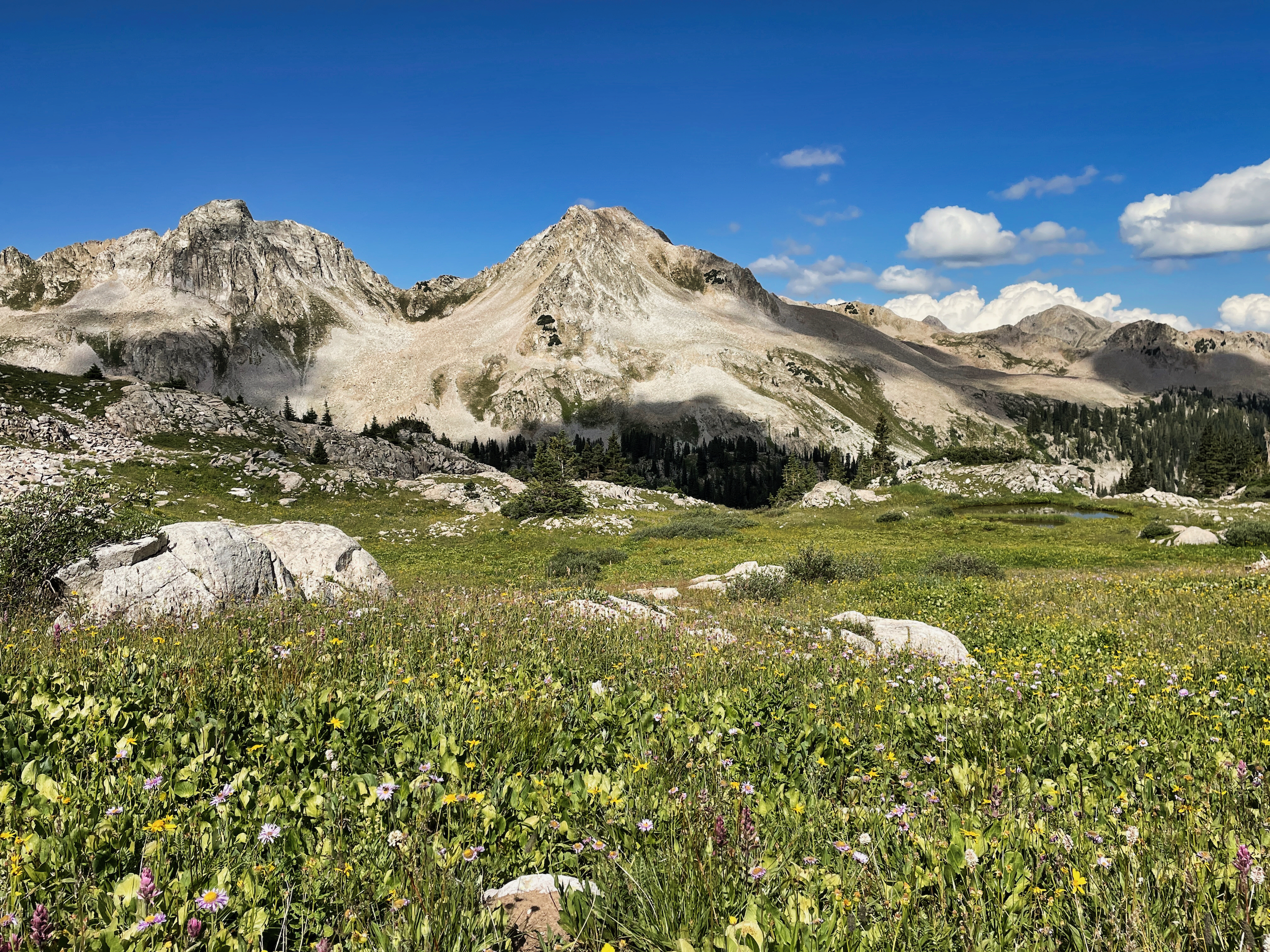
The flowers on this side of the pass were even more abundant. They beamed out joy and life, obliterating any sinister rays emanating from the dark tower.
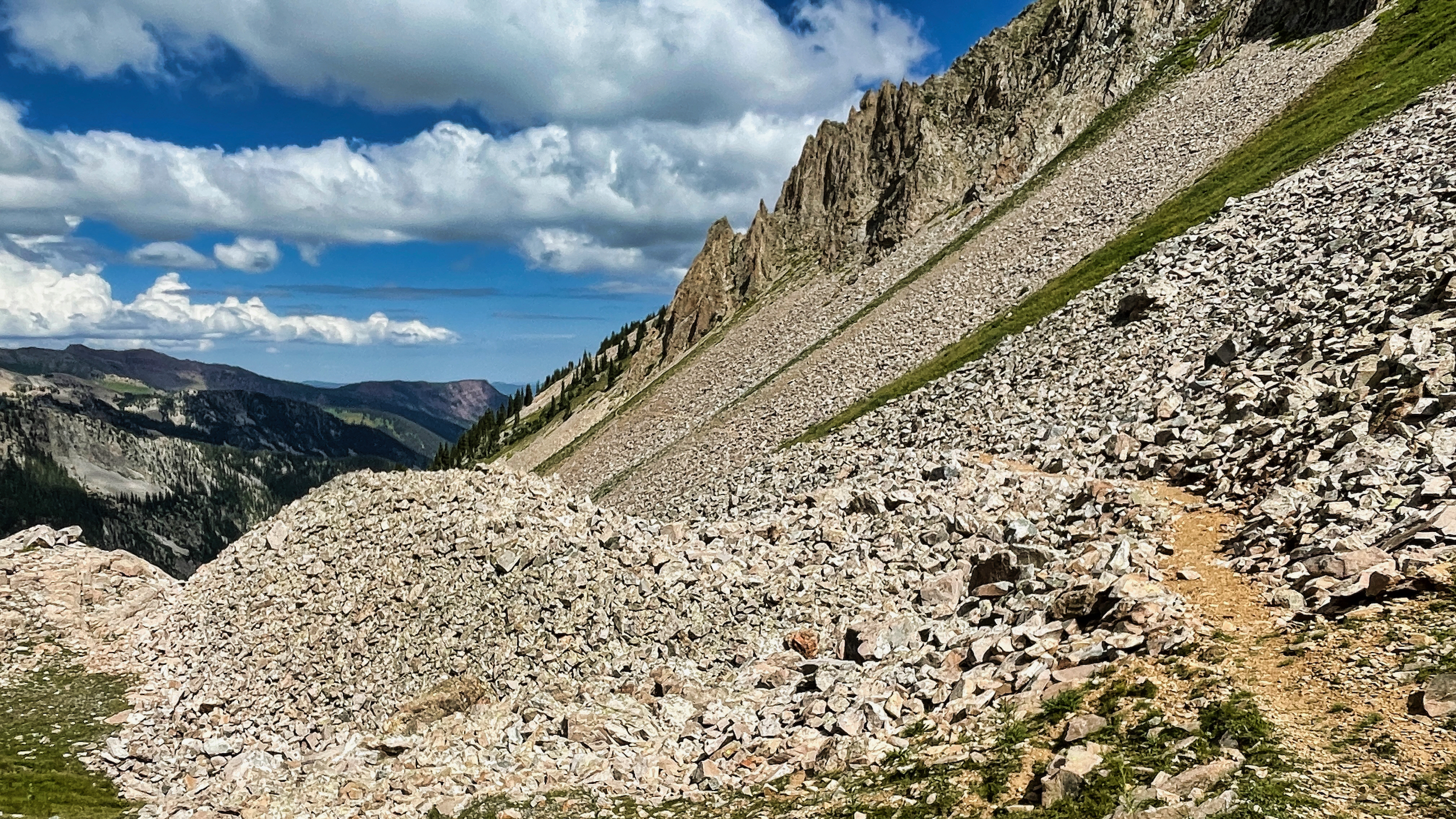
The trail surprised me by staying high along the ridge rather than dropping down into the valley, cruising among and through the many rockfalls.
Away from the flowers, Capitol Peak once again loomed overhead, a truly menacing mountain dominating space. The menace is real, not imagined. Capitol ranks high on lists of most dangerous 14ers in Colorado. I will not be climbing it now or ever.
Eventually the trail slipped over a dip in the ridge and I descended into the main Avalanche Creek valley. There was more easy strolling among the flowers. I was enjoying it immensely. Not having studied the map carefully, I imagined that I was done climbing for the day and would be following Avalanche Creek down to Capitol Lake.
But that doesn’t make sense, does it? Instead, I would be climbing the 1500-food ridge that separates Avalanche Creek from Capitol Creek, which does very logically feed into Capitol Lake.
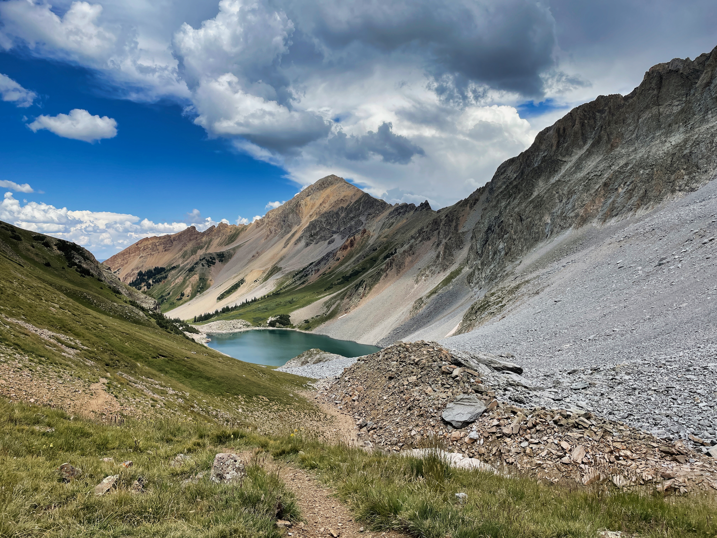
The clouds were building and I scurry-plodded up the steep slope to the 12000 foot saddle and then dropped directly down to Capitol Lake.
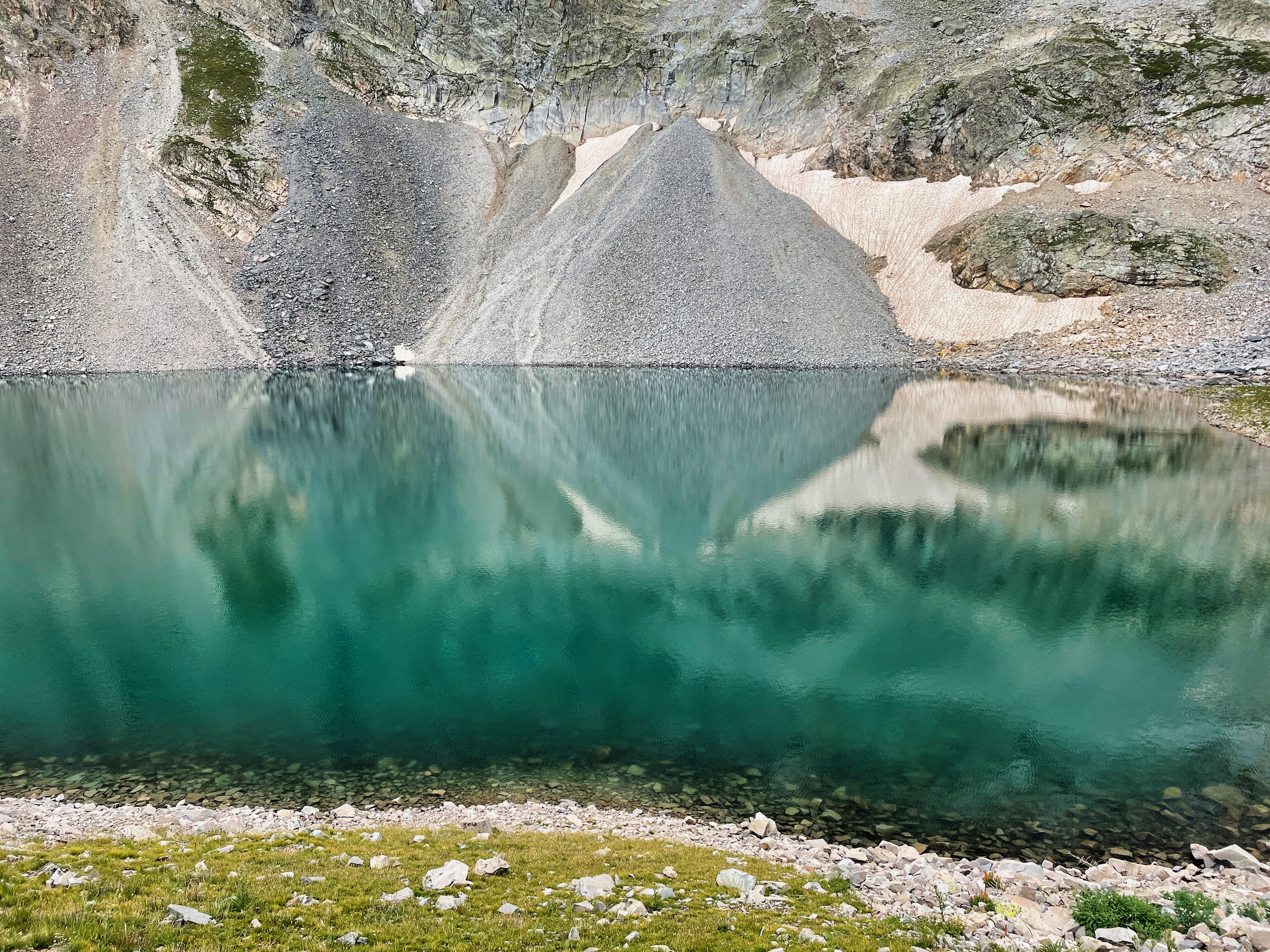
The Lake is pretty austere, but I could see fish rising and was anxious to camp and break out my Tenkara rod.
Camping at the lake is in designated sites only. Those sites are a good quarter mile from the lake and up a steep hill and all the lower ones were occupied by the first hikers I had seen in days. I found a site and set up, keeping one eye on the sky.
A couple of women came up the back side and the first called out to the second “nope, it’s taken”. But there was room at the site for more tents so I told them I didn’t mind sharing. They and the rest of their crew set up and apologized in advance for waking me up at 3am when they would be getting an alpine start for the peak.
By this time it had started raining a little and thundering a lot, so I gave up hopes of fishing as the light evaporated away.
