

Anthracite Basin to Marble to N Fork Lost Trail Creek
Has it really been only three days?
Took a beating again going up the barely existing trail to Anthracite Pass, losing it and having to backtrack or cut over to find it. Recent floods added to the degree of difficulty, with debris flow covering the trail in spots.
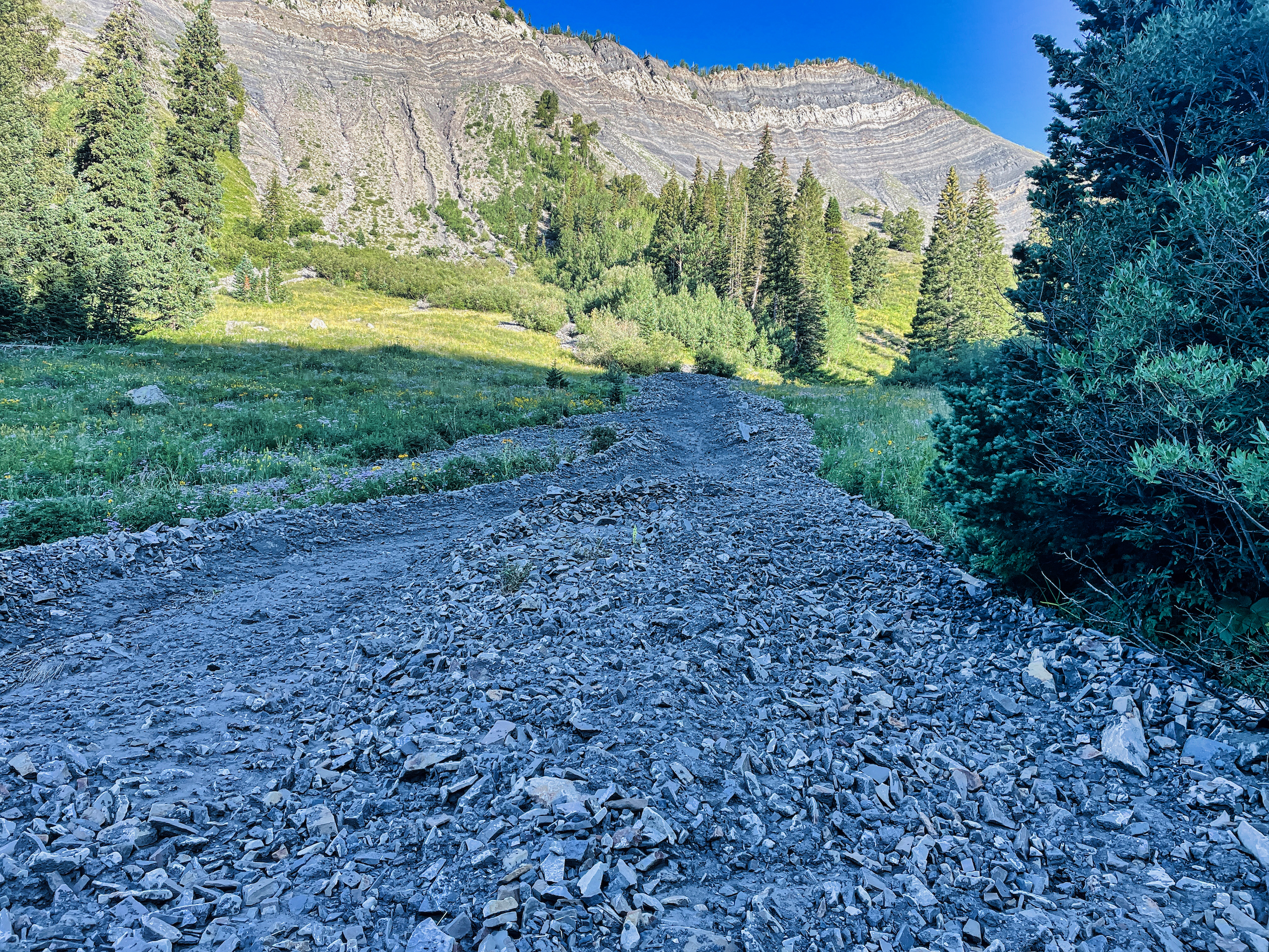
Debris flow overlaying the trail going up to Anthracite Pass
The creek draining the pass was another obstacle. Not because it was wide or deep (it was a trickle) but because it resided in a freshly-carved steep-sided flume that was often 10-12 feet deep. I had to track up and down a few times in order to find a passage across. That must have been some storm.
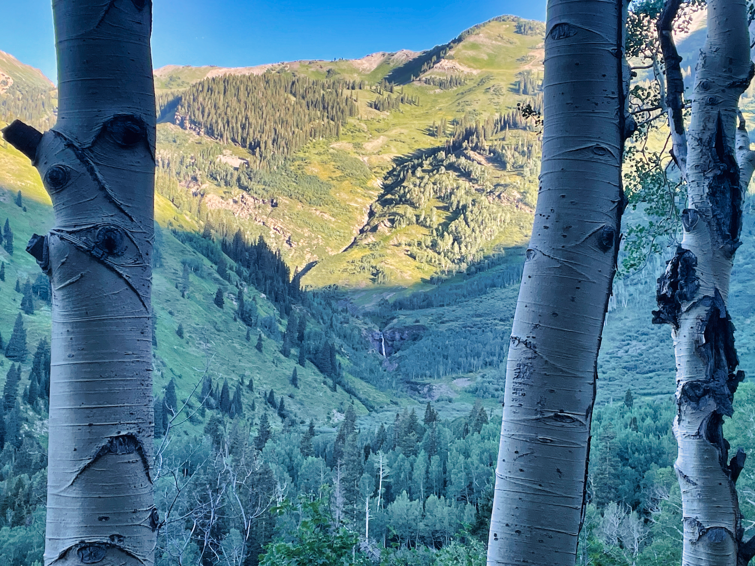
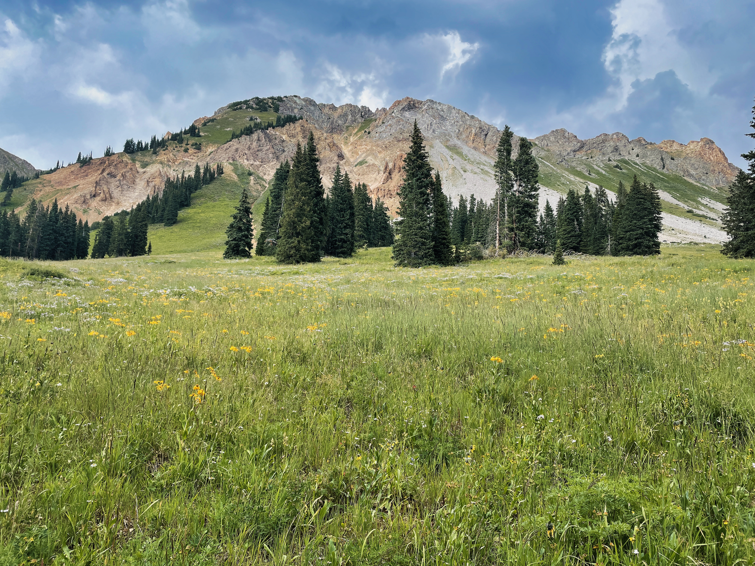
Good thing the views of the basin were very fine, with a nice waterfall at its head.
Anthracite Pass is the boundary between Gunnison and White River NFs. It turns out that the NF you are in makes quite a difference in trail maintenance. Once I crossed the pass, the trail immediately improved and I could see where I was stepping once again. Still, I opted to hike down a mile to the road, rather than take the 3-mile trail into Marble. After a day+ of thrashing through brush, a nice relaxing roadwalk seemed pretty appealing. There was only one car that passed me.
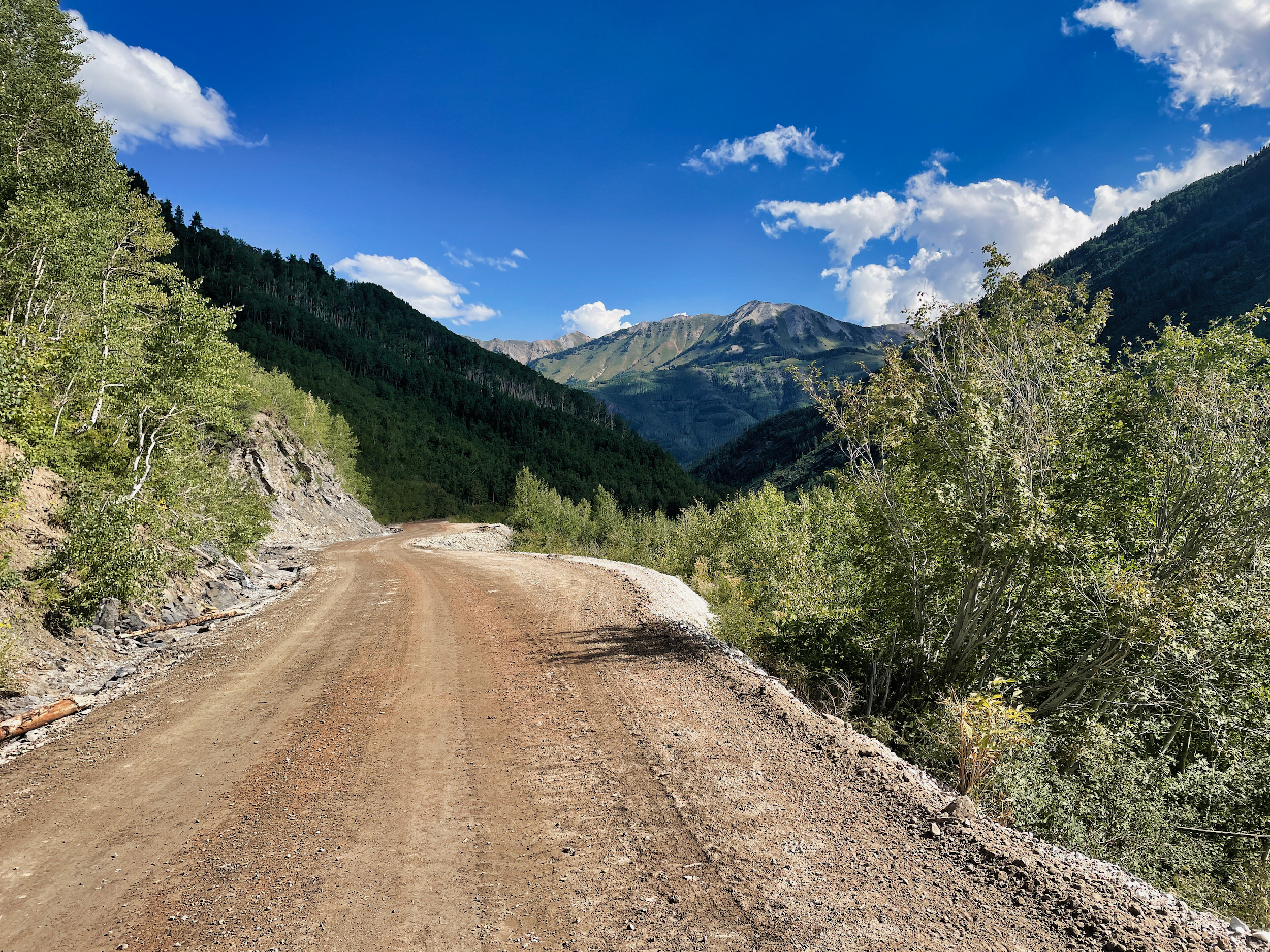
Roadwalk into Marble
I cruised into Marble at 11, just in time for the BBQ place to open. Against my better judgment I had a plate of ribs.
They were good but did not sit well on the next leg of my journey. It was a 4 mile climb up a steep dusty jeep road with no shade and full southern exposure. Were it not for the building clouds, I would have had to wait it out, as I was edging toward heat exhaustion again.
There were no cars at the Lost Creek trailhead nor really any where to park them, but there was a self-registration kiosk for wilderness permits. I opened the deposit box to see who else might be on this trail. There were two other slips, but both were from mid- July.
The other thing at the trailhead was an abundance of flies. I took this to be a sign of progress. Not because I love flies, but because it meant I was getting closer to Aspen.
Aspen is well-known for its flies. They are unexcelled in their quantity, their ambition, and their persistence. I dare say no other resort town–not Vail, not Steamboat, not even Jackson Hole–compares to Aspen when it comes to flies. Aspen is famous for boldly innovating the $100 lift ticket, but deserves even more credit for the swarms of flies which inhabit its backcountry.
Cheered by their company, I hoisted my pack to begin (rather resume) the climb to the unnamed 12k pass that divides the Crystal River drainage from Avalanche Creek.
The trail continued mostly good. It started raining before I had cooled down from the road walk, causing the temperature to drop nicely. The walk was one of flowers, waterfalls and high peaks, truly beautiful country.
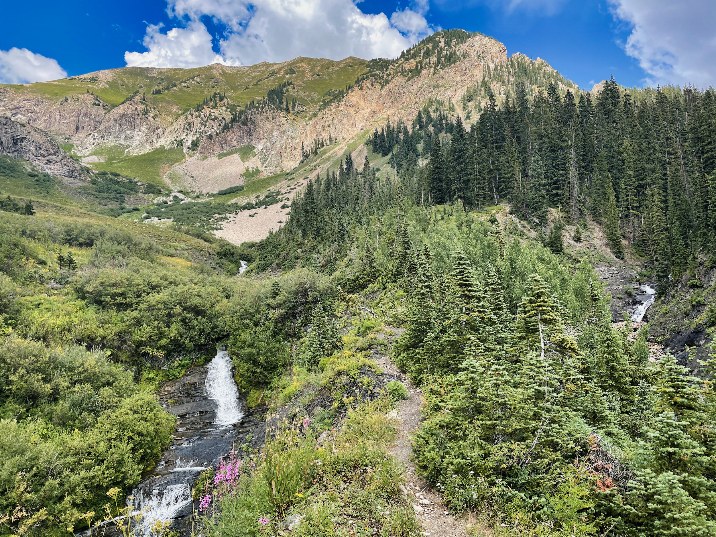
Duelling waterfalls converge on a moraine ridge separating them
The view from camp as skies cleared in the evening
The rain returned around 5, so I called it a day when a good camp spot presented itself.