

Sentinel Creek to Mary Mountain Trailhead and an early end
I fell asleep to wolf song last night and rose early this morning in anticipation of a long, and possibly hot, day.
The plan is to cross the highway and head east over the Nez Perce Trail to Mary Mountain Trailhead where I will meet Dan. He’ll drop me off at the Wapiti L Trailhead or more likely I will camp with him if he is at nearby Canyon campground.
The route is 23 miles to the rendezvous. It follows Nez Perce Creek up and over Mary Mountain and down through the legendary Hayden Valley to the highway. We heard from one hiker that there are hot springs suitable for soaking on Mary Mountain, so I will try to check that out.
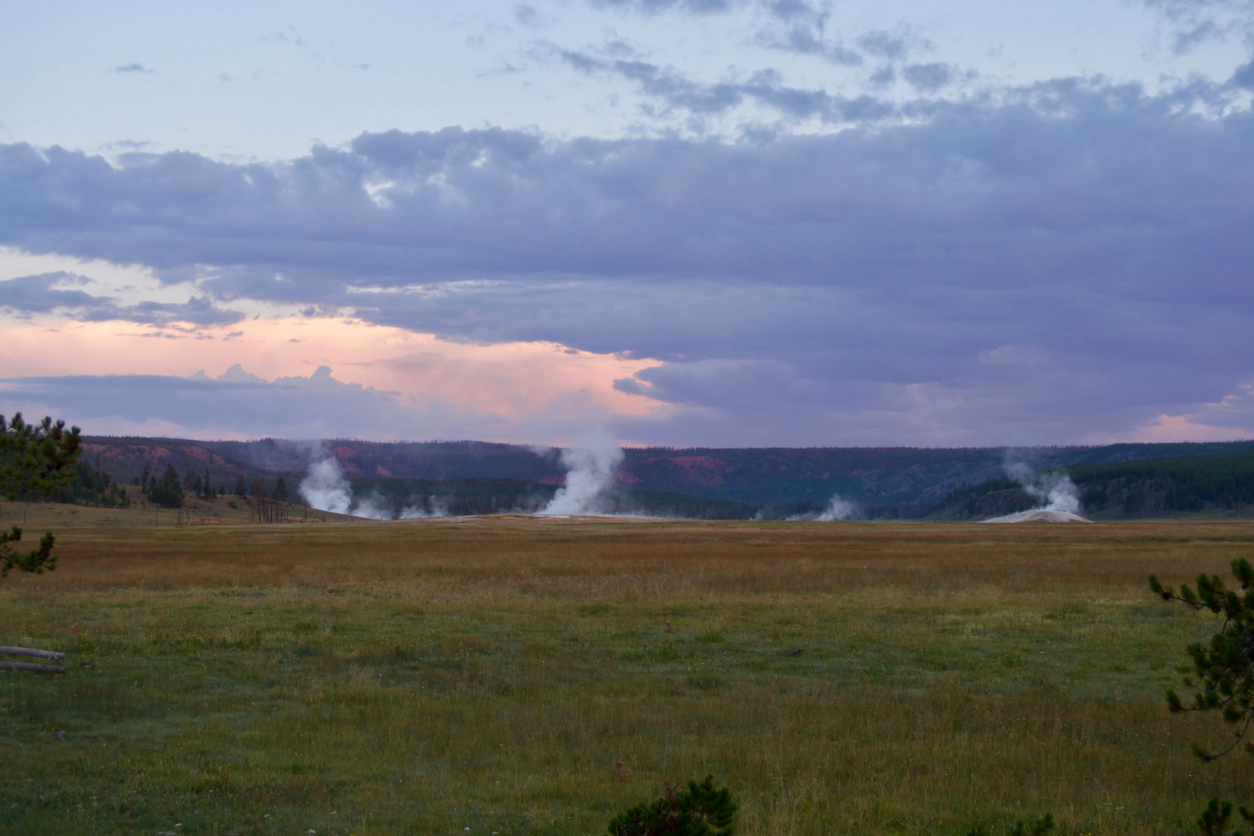
Steam rises from the upper reaches of the Sentinel Valley
I left at first light, walking back to the Firehole River and the highway, then south along the road for a mile to the Nez Perce Trailhead. The Nez Perce looks like a good fishing creek, clear and deep with plenty of holes and structure to hold fish. But I need to make miles today and can’t really stop to fish.
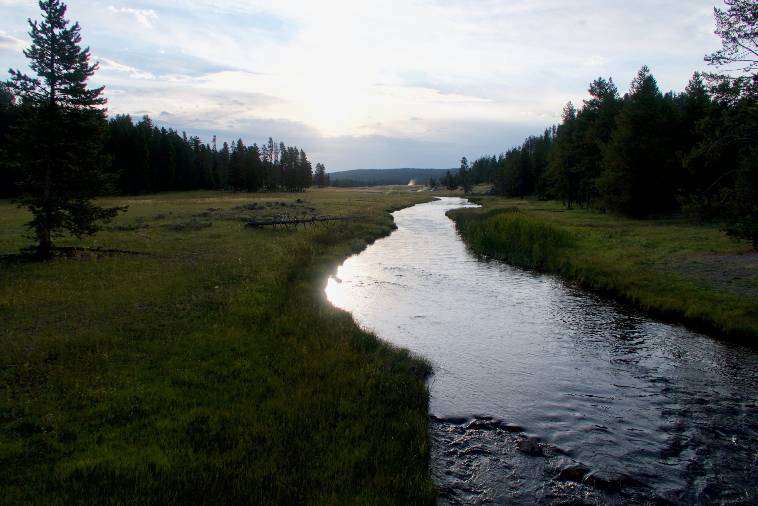
The Nez Perce route to the Hayden Valley
The creek valley is lined with hot seeps and vents. No geysers or bubblers, but the steam rises everywhere in the early morning coolness and the air smells of sulfur.
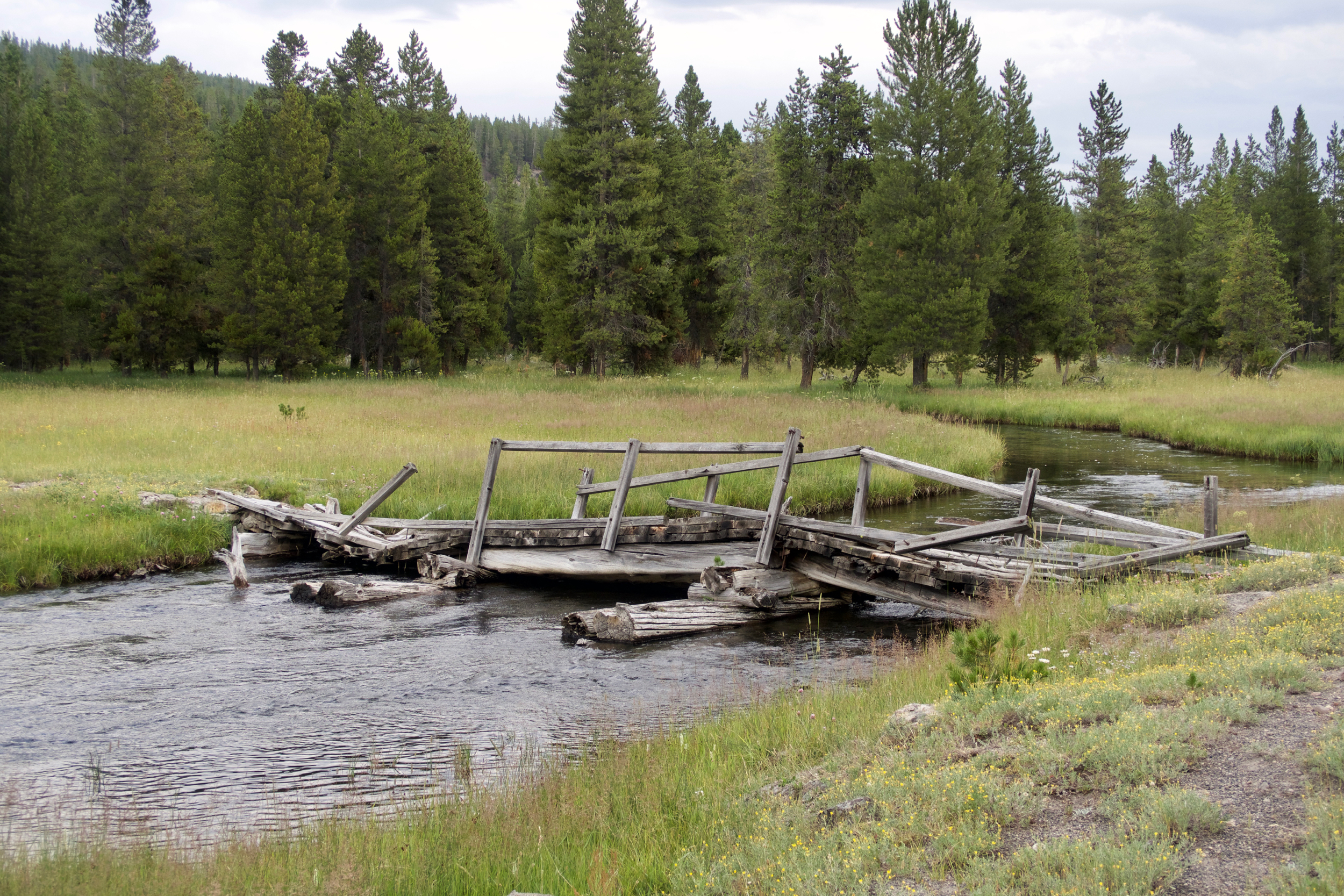
There are few bridges in Yellowstone. This one has seen better days but did the job.
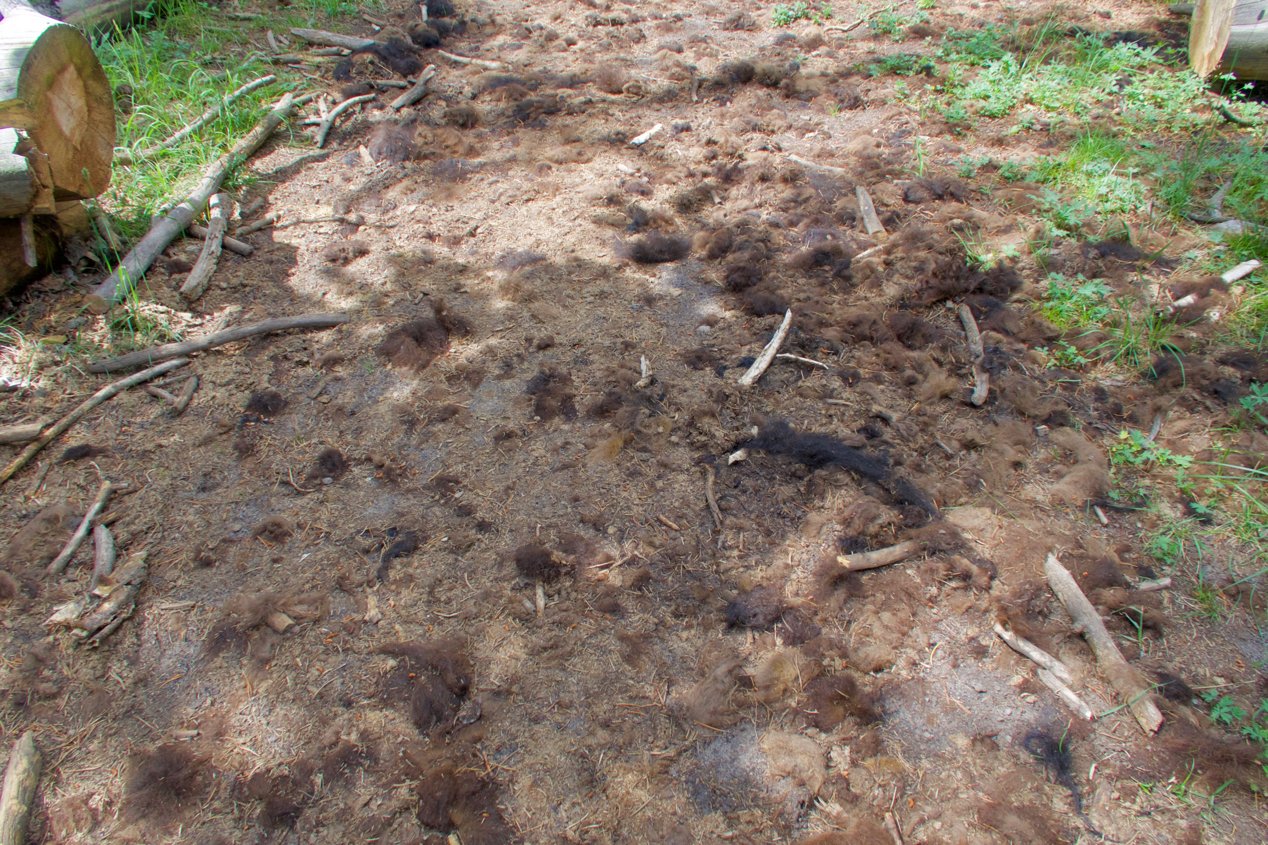
As I ascend the valley it becomes evident that the trail is a bison path. There are turds everywhere and tufts of fur on the bushes. The Nez Perce followed this path in 1877, fleeing forced relocation to a reservation. 700 men, women, and children fought off and eluded thousands of US Army cavalry troops for months as they left their home in northeastern Oregon, crossed Idaho, crossed Yellowstone, and then turned north through Montana, headed for sanctuary in Canada. The Army caught them a few miles south of the border, forcing their surrender.
The trail skirts a string of meadows on its way to Mary Mountain, a thousand-foot high ridge running north and south. The meadows become increasingly boggy as I ascend, and the trail markers become few. However the route is not difficult and I only have to keep on track close enough to find the notch in the ridge that knocks a few hundred feet off the climb.
The bison pies are joined by bear sign, and I resume calling out before entering densely vegetated areas. But I sight no large animals in the meadows or the woods.
The passage through Mary Mountain is peculiar, a deep and heavily forested gorge that slices diagonally through the ridge. I wonder how the bison found their way through here. There is no grass to sustain them. They could not have just munched their way over the mountain. They had to sense there was something good on the other side. And those first bison pioneers had to remember the route and recruit followers, and the memory of the route had to persist through generations. This trail speaks to a high degree of social organization and culture within the bison herd.
There is a lake atop Mary Mountain with a cabin perched above it on the hillside. A group on horseback is there, the kids swimming in the lake and making noise, kids who are evidently not used to swimming anywhere but a concrete-lined pool. They are tentative at first but then realize that this lake is far more interesting than a pool and begin competing to see who can dive down and touch bottom farthest out.
I finish my lunch and begin heading down the far side of the mountain, encountering a wallow where the bison evidently roll around to shed excess winter fur.
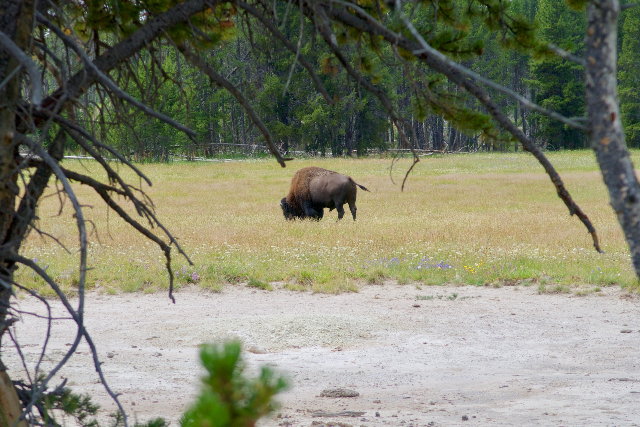
I enter a thermal area and begin hunting for the hot springs, following a shallow creek that leads to a plume of steam. But the creek becomes a marsh. I follow it a bit further into the meadows and woods, but find no more hot springs, only a lone bison bull. He looks at me warily, twitching his tail, then turns back to his grazing in a pocket meadow.
I take an oblique route back to the trail, hoping to encounter more springs. Instead I find, faint but unmistakable, a huge grizzly print in the dust. It is a good 14 inches from toes to heel. It occurs to me that wandering around in the woods looking for a soaking pool is perhaps not the best idea and that I should get back on the trail.
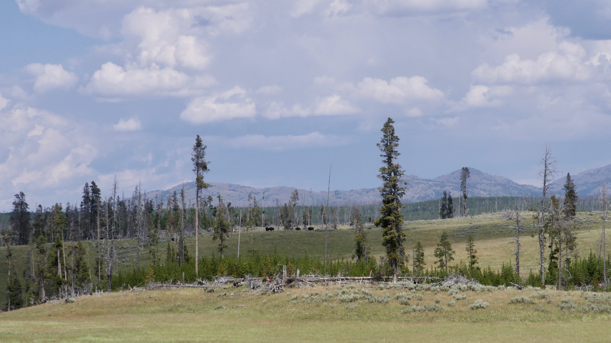
The east side of Mary Mountain is distinctly drier than the west side. The forest opens up and sage-dotted grasslands appear, and with them, scattered bison.
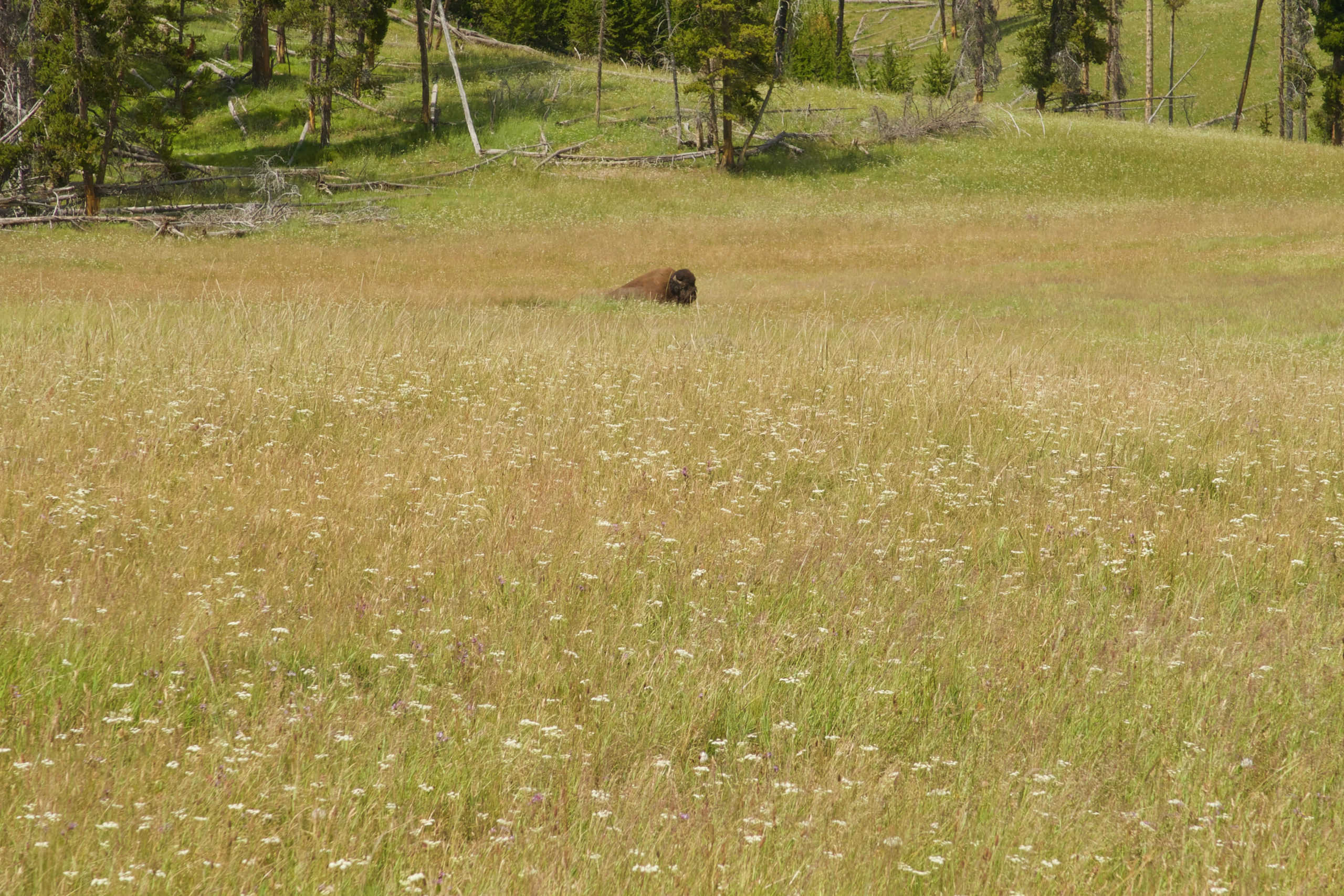
Bison scattered along my route. That orange dot (you may have to click to enlarge) is a trail marker
They all appear to be bulls, most of them resting and ruminating in the intense midday sun. They are not herded up but spread all over along my route. I will have to pass through them as best I can, picking a route that maximizes my distance from each individual.
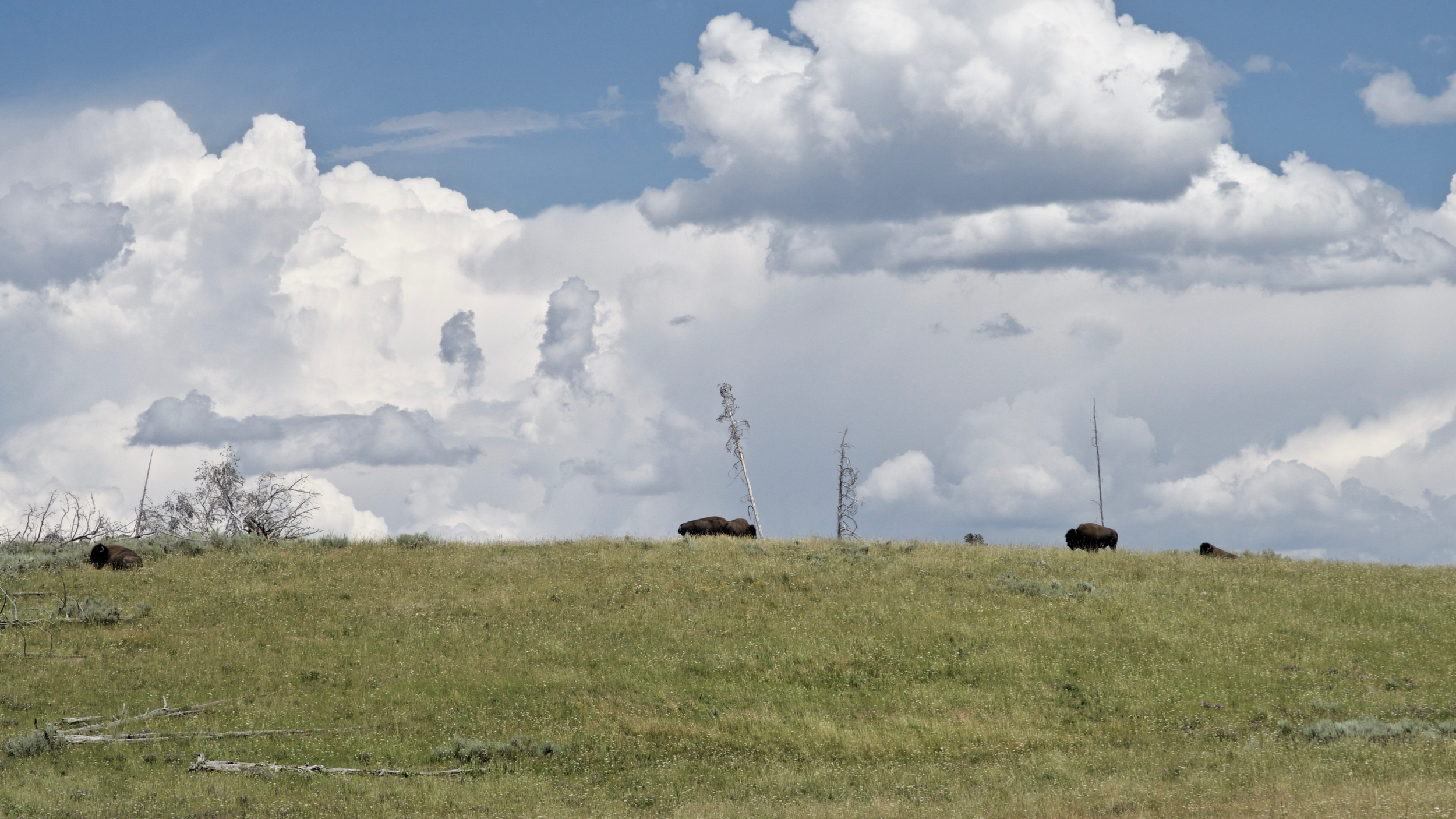
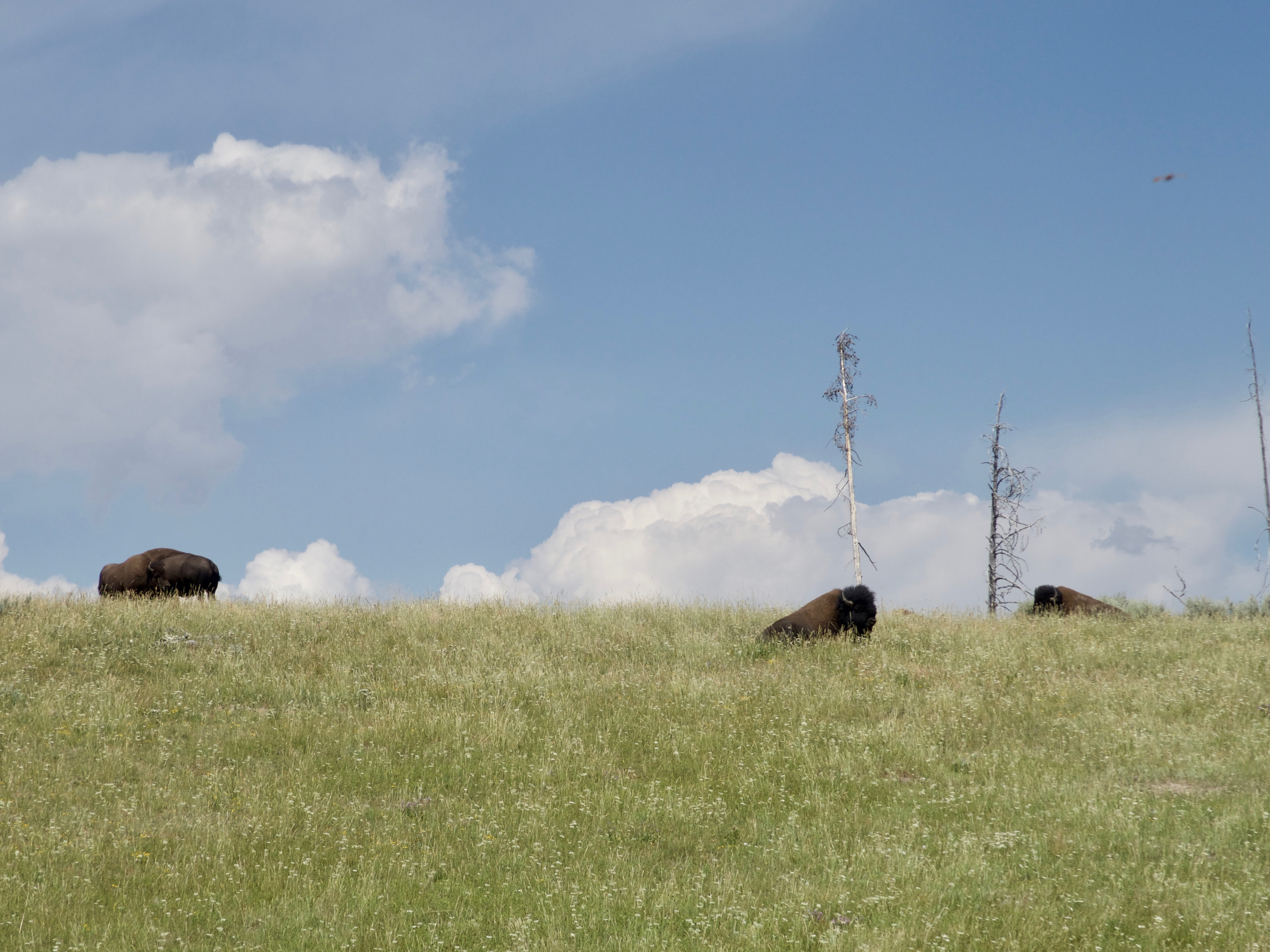
I move as smoothly and inconspicuously as I can. I feel more than a bit nervous and vulnerable, especially as the trees disappear behind me. If one of these bulls charged me, I would be completely helpless. There is nowhere to run to or hide. A grumpy or frustrated bull (it is rutting season) could decide to stomp me and there would be nothing I could do about it.
I stop and take a few pictures —not nearly enough— and almost jump out of my hide when a bull walks silently out of a draw 20 yards behind me and begins a deep basso rumbling that does not sound at all friendly. I walk on quickly to a small rise that will take me out of his sight and I hope out of his thoughts.
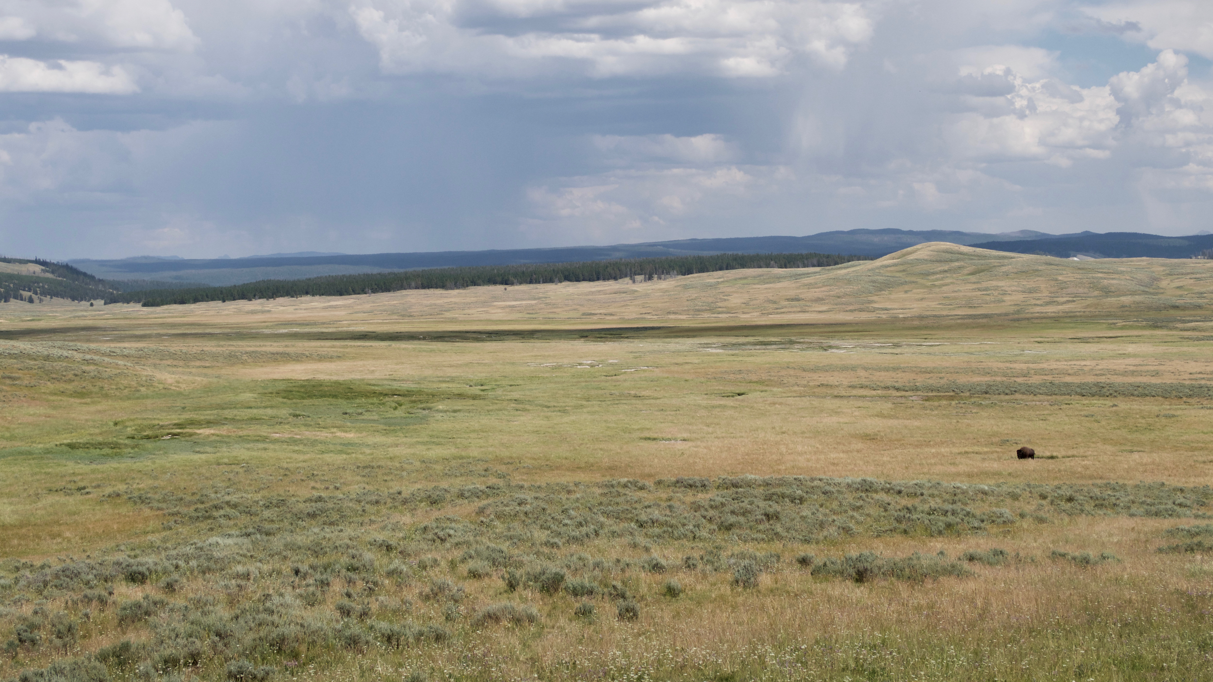
Into the Hayden Valley
As I descend into the Hayden Valley proper, I begin to look for water. I passed on filling up at Mary Mountain Lake, as there are numerous streams on my map. All of them so far have been dry.
There is a good size creek draining the valley, but its name—Alum Creek—is not a promise of sweet water. I hope for better from side creeks that come down from the forested ridge to the north. But they are hot and alkaline-tasting. I could drink this, I suppose, but I would pay a price.
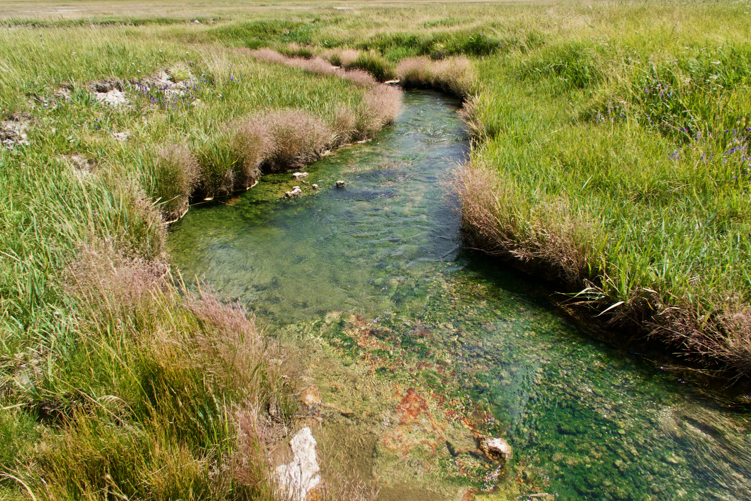
One of the hot alkaline creeks cutting through the Hayden Valley
Clouds are building to the east, but the west is clear and the afternoon sun is burning the backs of my legs and making me sweat. I still have 5 miles to the trailhead and am getting seriously overheated and dehydrated.
My route edges closer to the ridge and a few springs appear. They are alkaline but not as bad as the valley creeks, and they are only lukewarm, not hot. It will have to do. I drink down half a liter, figuring that amount will strike a balance between dehydration and major bloating. It’s the best I can do.
A couple more miles and I can see the road ahead and the Yellowstone River just beyond. A turn through a side draw and I am at the road. Dan pulls up, even though I am an hour earlier than planned.
He gets out greets me with an ice-cold beer from his cooler. I slug down the whole can at once. It is the most amazing beer I have ever drunk, cold and delicious. It is about the best thing I could imagine right now. Although it is even better to have a friend who I can rely on like this.
I know what I have to do.
“I’m calling it. I declare this the end of the hike. We can head home tomorrow.”
“Are you sure?” And because he is a true friend “I don’t mind hanging out while you finish the hike.”
But I would like to think that I am a true friend too. Sitting around with a bad ankle and being an auto tourist is not what he signed up for. Besides, I got wanted from this hike. We went into some of the wildest and most-remote country there is in the lower 48. We immersed ourselves in wilderness. We hiked along, camped beside, and swam in pristine lakes that stretch away for miles. We spent hours exploring geyser basins that few ever see, witnessing their wonders and mysteries with no cars, no crowds, no distractions. I walked along the path of the bison, followed the Nez Perce. We didn’t see wolves or bears but we sensed their presence, saw their sign, heard their voices at night. We knew whose country we were in. That was good and it was enough.
I envy your ability to hike in interesting places. I have never had the stamina for overnight trips like that, My options in and near Southeast Pennsylvania are limited and never away from civilization.
I am indeed grateful for these opportunities. SE PA is not far from the Pine Barrens of New Jersey, no? John McPhee makes them sound pretty interesting. But perhaps that says more about his writing than it does about the Barrens.
I look forward to your next adventure.