
It’s been a hard year for hiking in Colorado. Winter overstayed its welcome as late May snowstorms left the passes clogged with snow well into July. The fall color season, usually one of the best times to hike, was cut short by early hard frosts. Our aspen groves went directly from green to brown to bare ruined choirs, and the high country froze up weeks earlier than usual.
Colorado is not all high mountains, however. The western part of the state, a strip between the Gunnison River and the border with Utah, is high desert country. Elevations range from 4000 feet along the rivers to 9000 feet at the crest of the Uncompahgres, a rolling plateau of pinyon-juniper grasslands. The river lands are given over to agriculture, the plateau to grazing. In between are numerous red rock canyons that escape the grasp of civilization. Some of these can be joined together to form loop routes that are hikeable for much of the year.
I did one of these loops in the spring of 2015, traveling down Knowles Canyon to the Colorado River, traversing some sketchy bluffs above the river, passing back up Mee Canyon and its impressive alcove to Glade Park. You can read about that trip here.
A loop of Big and Little Dominguez Canyons offers an attractive cold-season route. Other hikers of good sense have done it without reporting any major obstacles, and the Trails Illustrated map of the region shows trails stretching the length of both canyons, connected by a network of ranch roads across the plateau.

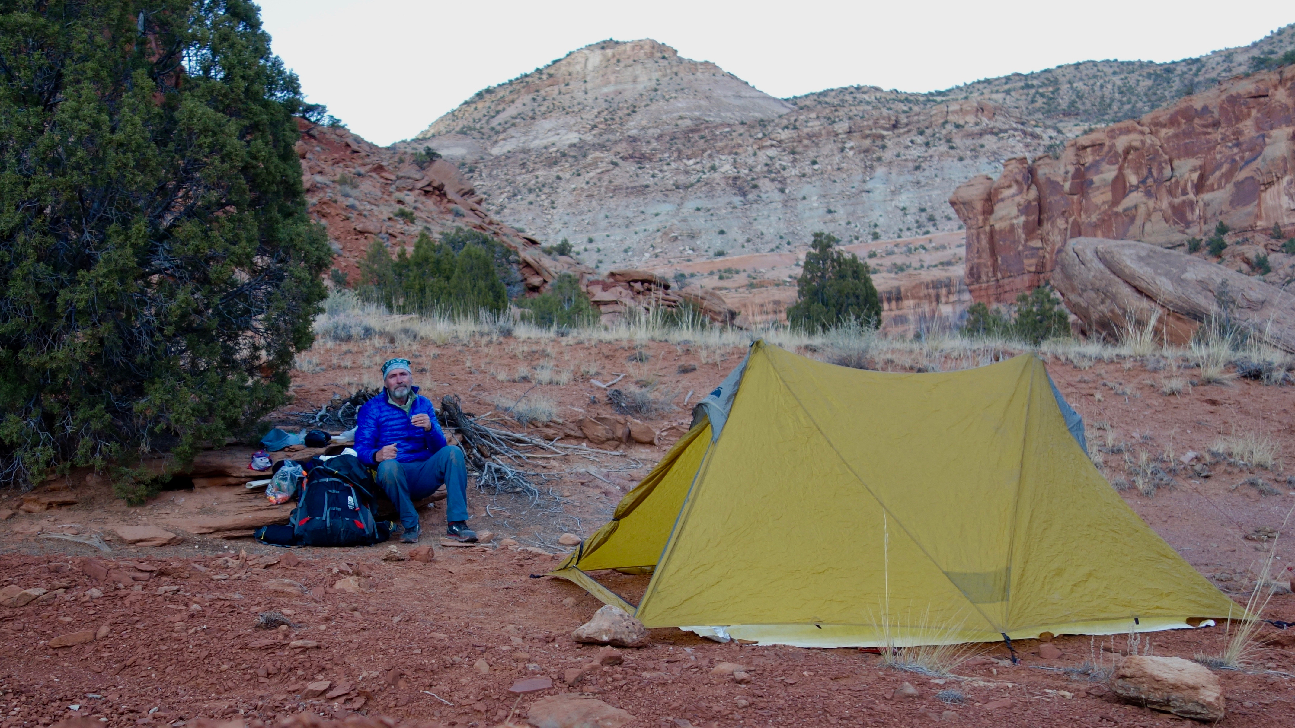
Cold-season hiking does require some adaptations. My go-to pack for summer trips, a Zpacks ArcBlast, is simply too small to carry enough warm stuff. With lows expected in the teens, I planned to carry both my Montbell 30° bag and my Enlightened Equipment 20° quilt, the latter draped over the former to provide a toasty sleeping experience.
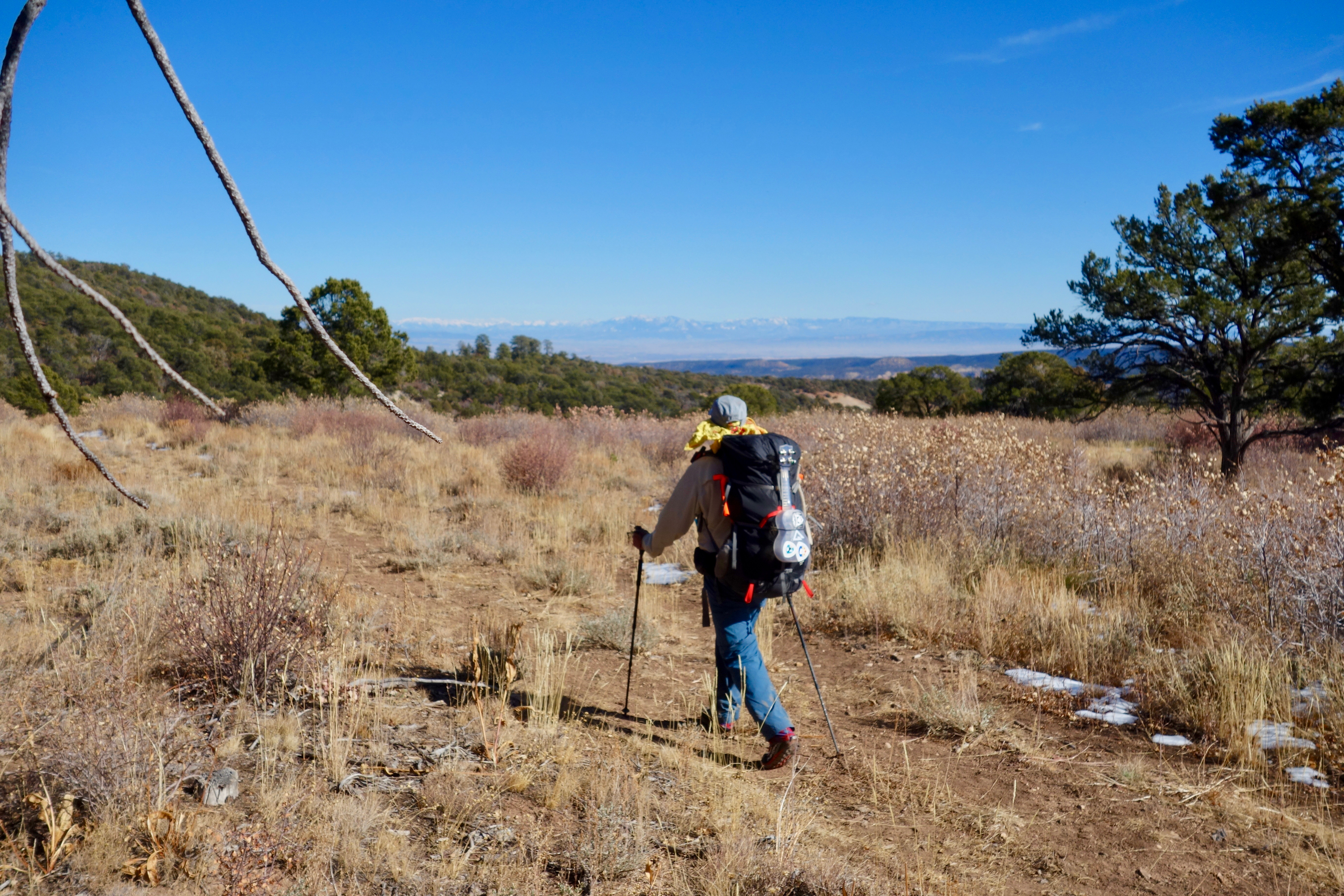
I’ve been needing a bigger pack for other trips as well—ICO hikes where I carry 50 lb loads, and desert hikes where I might carry up to a dozen liters of water. The Sierra Designs Flex Capacitor line of packs seem well-designed and able to carry a range of loads. At 42 oz for the 60-75L model, it is not really ultralight, but is still quite a bit lighter than other packs of similar capacity. This trip was a good excuse to buy one and give it a try.
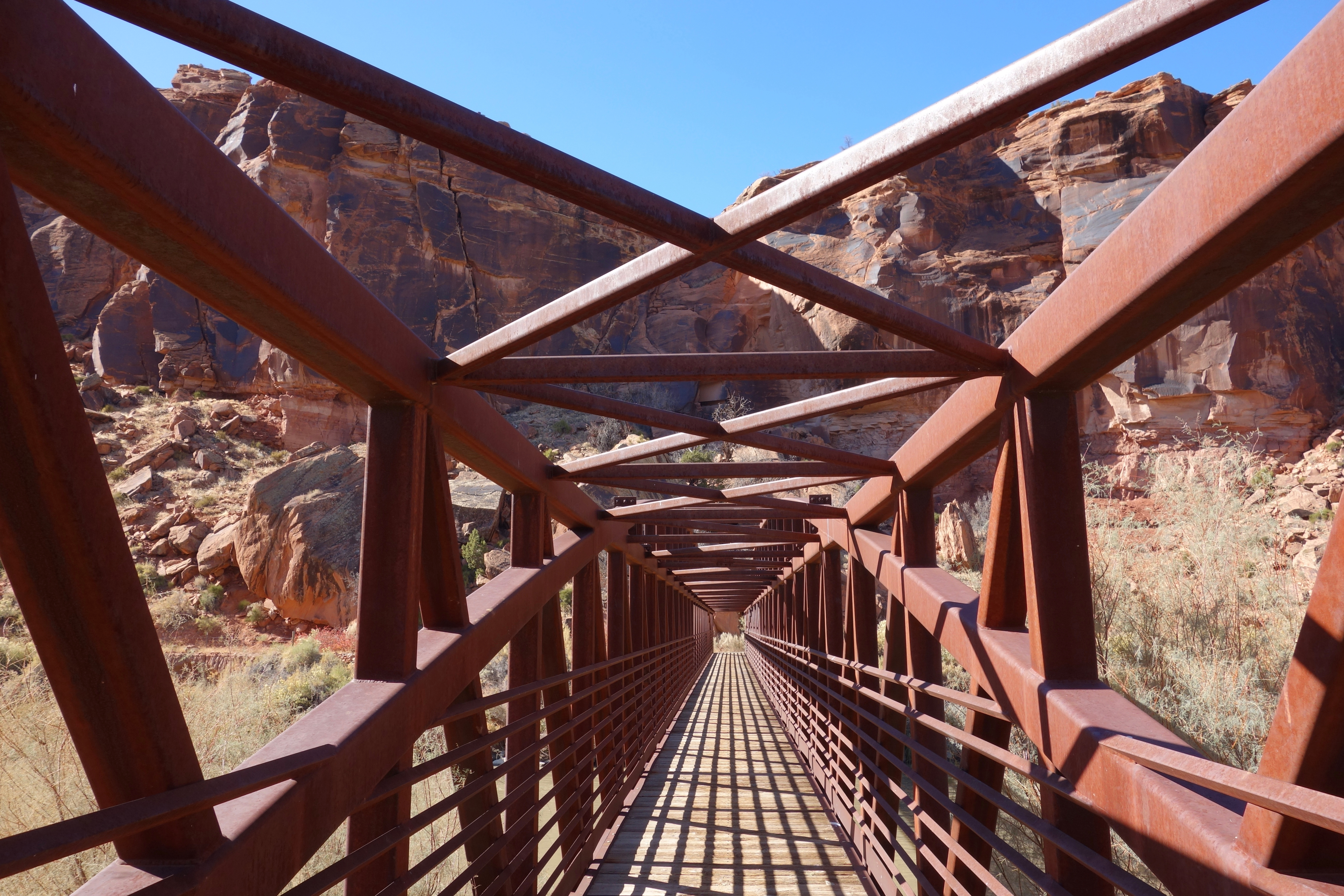
We had another blast of winter in late October—a foot of snow with lows down to 5 degrees. But the skies were clear on the west slope as I turned down US50 toward Montrose, then down the gravel road 5 miles to the trailhead on the Gunnison. I stepped out of the car into the chill sunshine, slung on my new pack and commenced walking.
Day 1 – Gunnison River to Little Dominguez Canyon
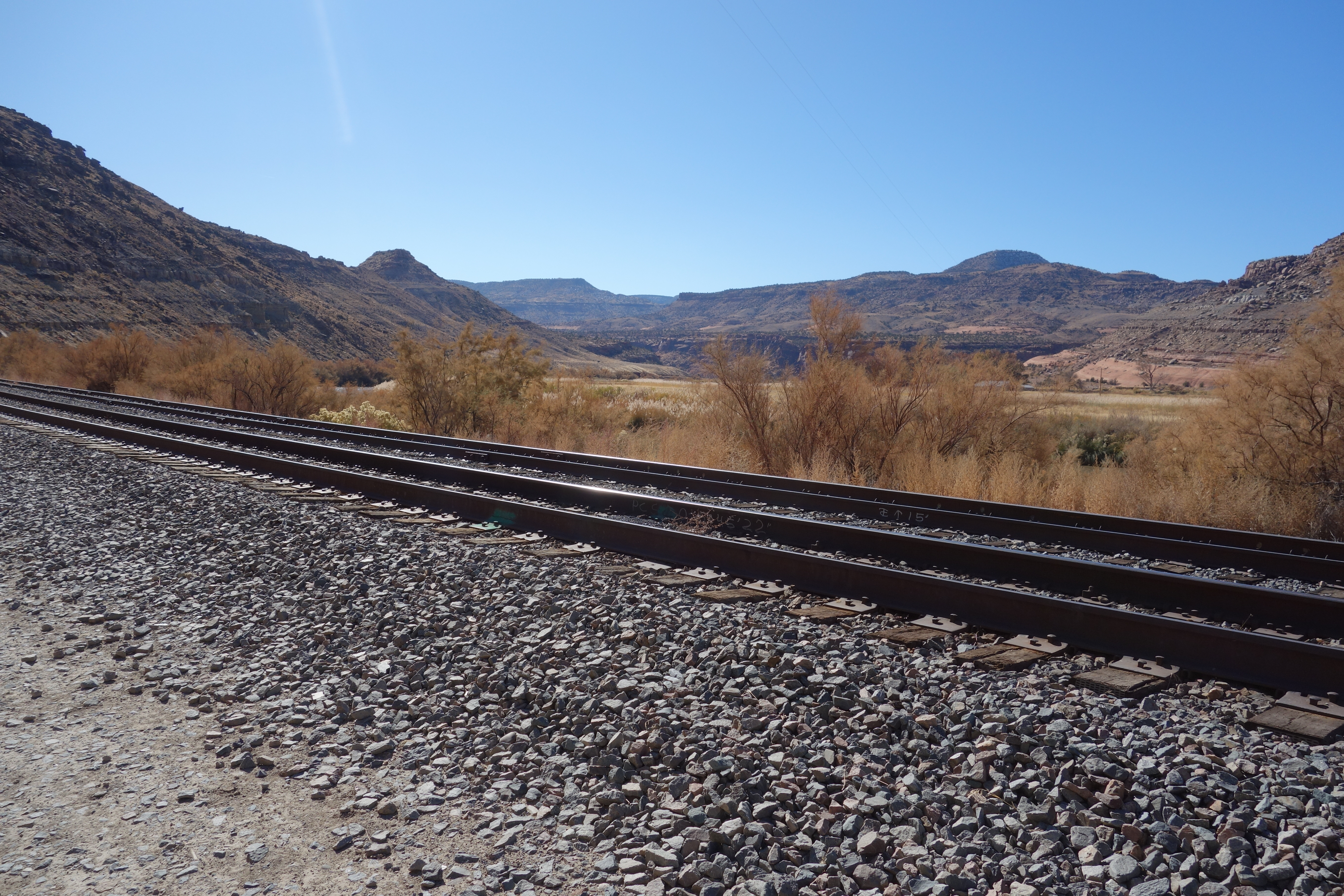
The trail follows along the river, crosses the railroad tracks and then the river itself, passes through a rafter campground and then turns upstream at the junction with Dominguez Creek.
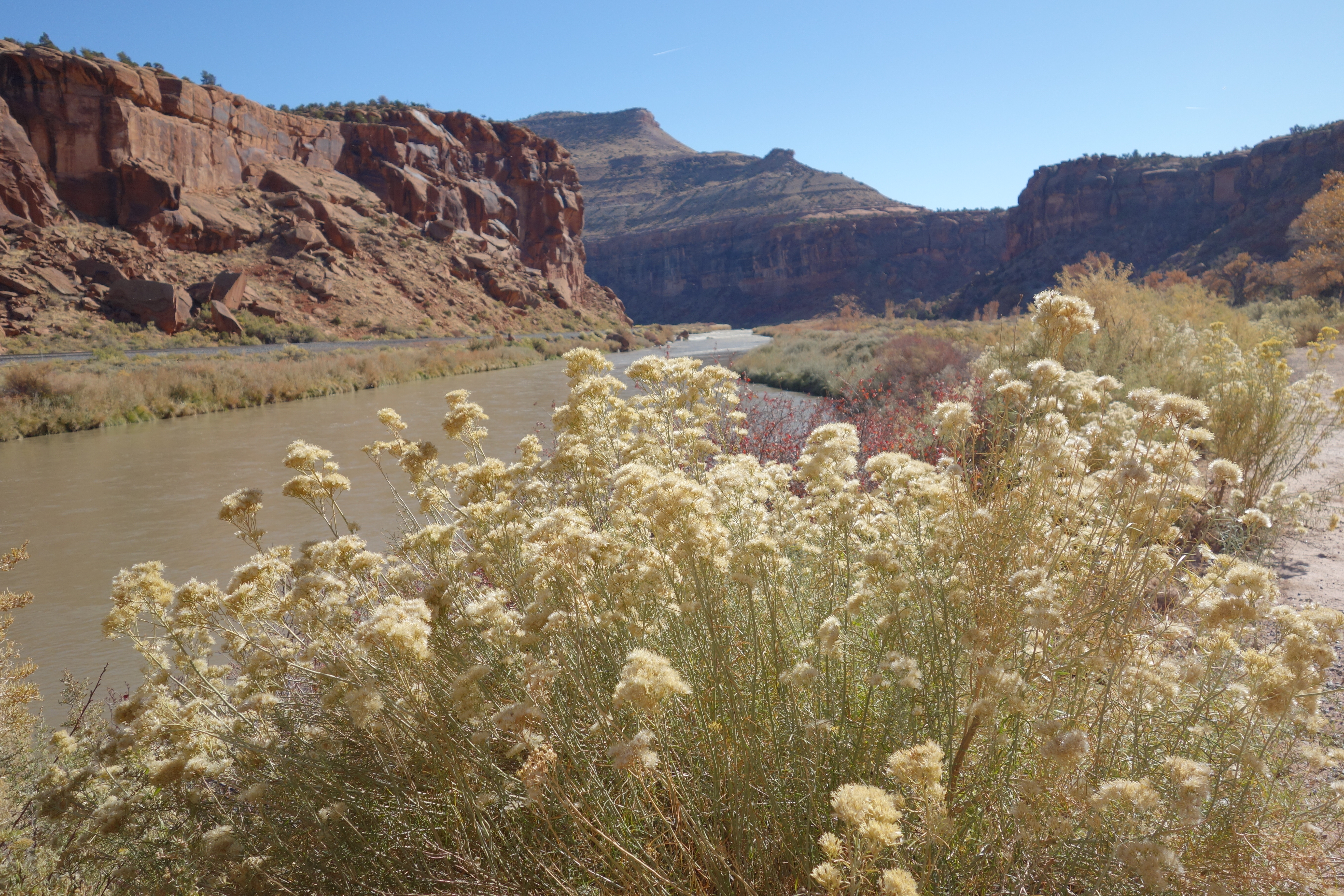
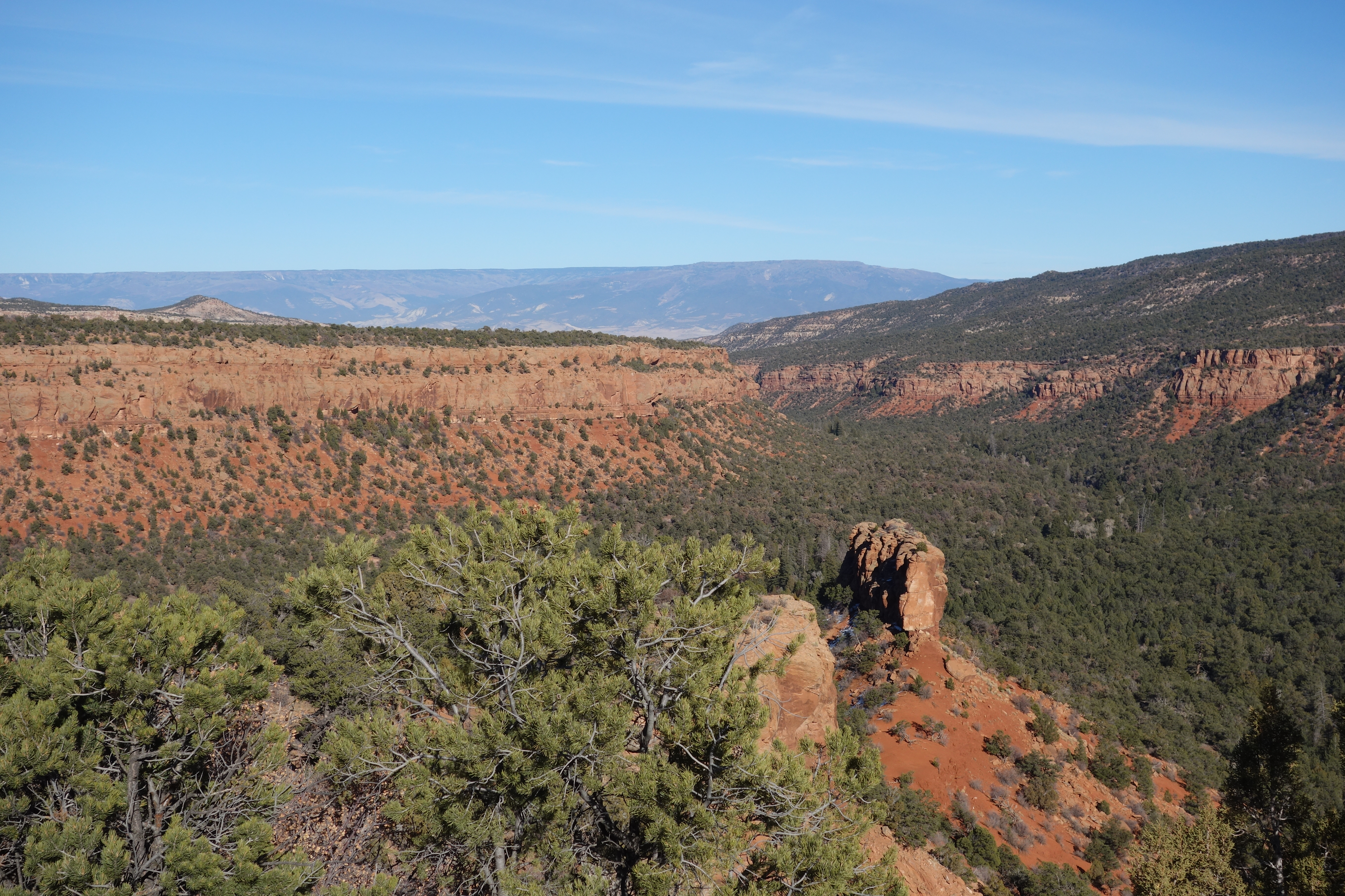
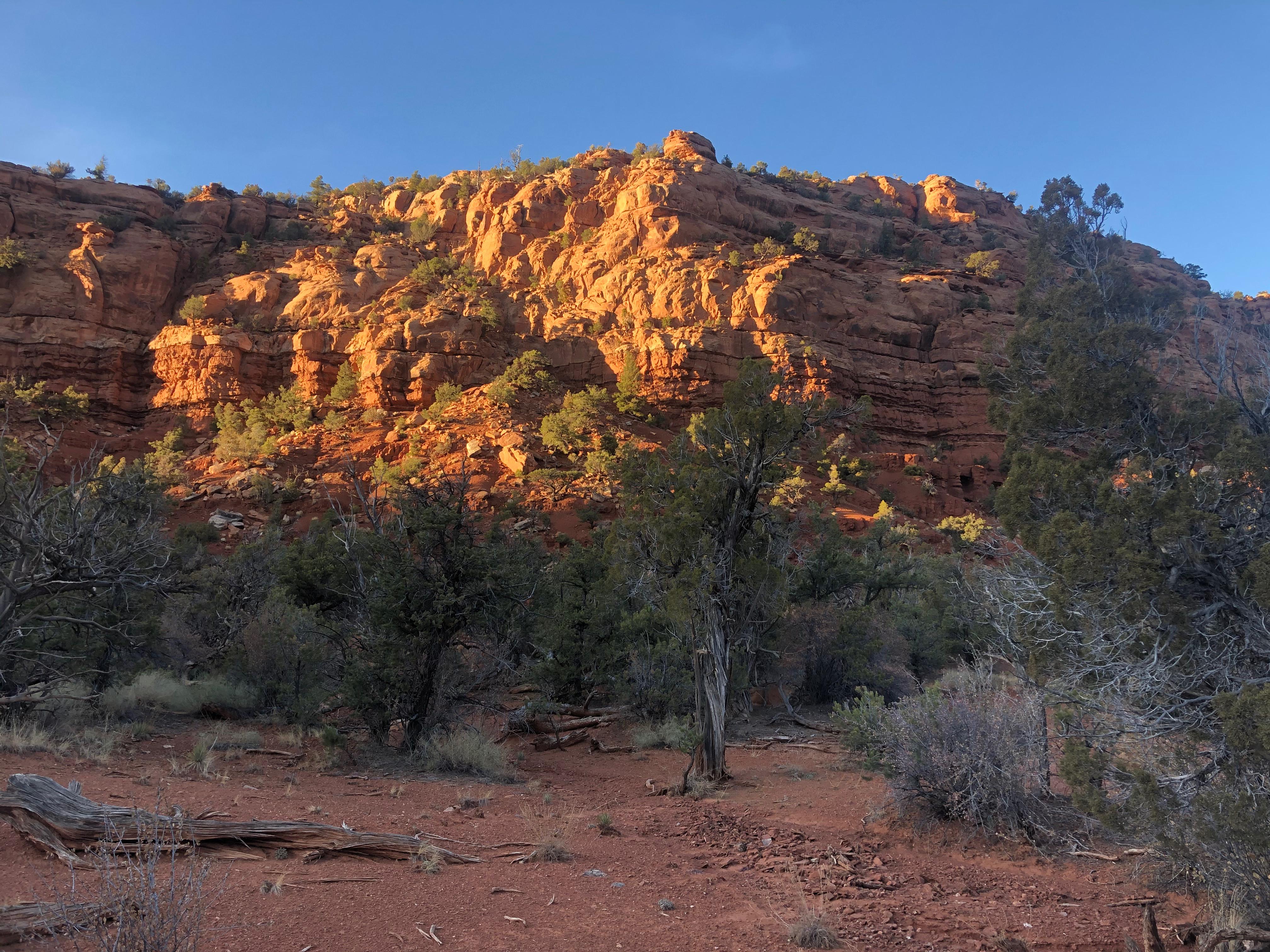
Here Dominguez Canyon is mostly a wide bottomland, the red rock walls of Entrada Sandstone spaced a good half-mile apart, a few hoodoos and pillars standing out on corners. The trail is a relict ranch road rolling smoothly through grasslands and groves.
I passed the turnoff where the Big Dominguez trail heads west up its canyon and continued south along the Little Dominguez. The canyon took a sharp right turn to the west and immediately led into an ice-covered marsh. Skirting it required a climb up on the canyon wall and then the canyon opened out again in a series of benches and side canyons easily crossed in the low glare of the late afternoon sun. Finding a high side valley bench above the cold damp creek bottom, I called it a day. Dinner was homemade dehydrated posole washed down with a few shots of Irish whiskey.
Day 2 – Little Dominguez Canyon
I was up before dawn and hiking by 7 as I wanted to hike the last ten miles of the canyon and spend the night up on the plateau. Canyons are all very nice, but I prefer open country.
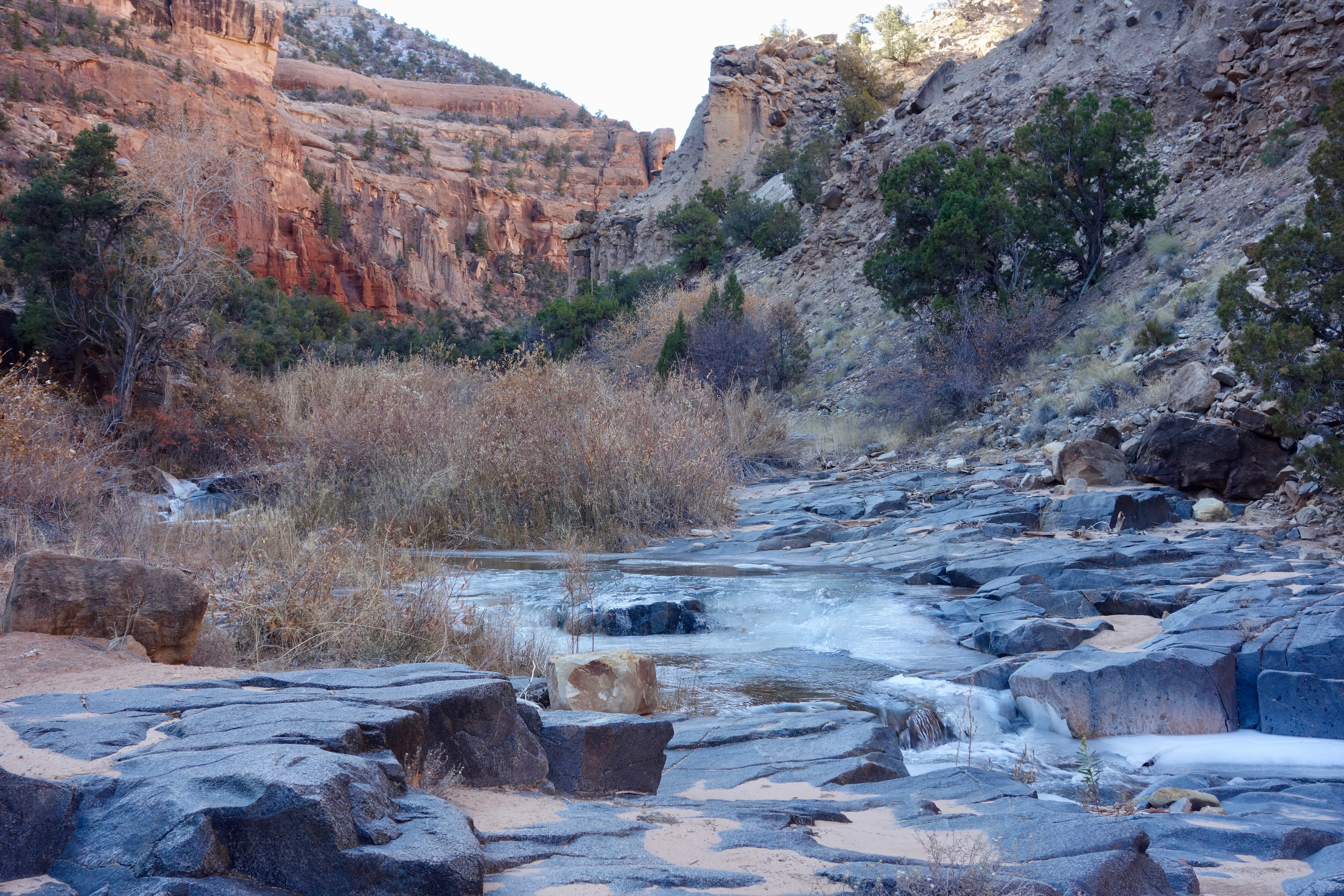
The walking steadily worsened as I gained altitude and the canyon narrowed. The brush—willows near the creek and saltbrush on the benches—was thick and unyielding. The creek, which I crossed many times, was just a bit too wide to step or jump across and was mostly iced-over. The ice extended up to the rocks, as I discovered when I jumped across at a narrow spot and landed on a glazed rock. I went down in a sprawl, my face in the dirt and a foot in the creek.
I held out hope that the walking would get easier as I progressed up the canyon, that perhaps the vegetation would thin out or be replaced by forms more conducive to travel. The opposite occurred. There is just enough moisture in the canyons to allow pinyons to grow close together. Worse, thickets of Gambel Oak appeared, forcing me at times to crawl my way forward. Or to give up and backtrack and try a different side of the canyon altogether. The squirming and crawling was made more unpleasant by the bloat in my gut, probably the result of drinking the salty canyon water.
The frustration got to me a few times as I tired of fighting for every step forward. Feeling trapped, I stopped and cursed and yelled into the silence. But there was nothing for it. No choice but to keep scrambling forward–or, just as often, sideways, trying to find a more passable route.
By late afternoon I had made it only half way to the head of the canyon, and it was clear that I would not make it out by sunset. I pushed as far as I could, boxed in by the endless walls of brush and steep crumbly canyon walls. I managed to find a small sloping bench at sunset, set up my tarp by flashlight, crawled in and collapsed, pretty well played out by the day’s exertions.
But I like to end the day with a song on my trusty plastic ukulele. Today’s selection was “Lost Highway” by Hank Williams – “I’m a rolling stone, all alone and lost/ For a life of sin, I’ve paid the cost…” That seemed about right.
Day 3 – Little Dominguez to Big Dominguez Canyon
I was well behind my intended pace and was up and walking—or rather, thrashing—by 6. Scraps of trail appeared, giving me hope that the worst was behind me, but they invariably ended in impenetrable thickets after a few hundred yards.
I came to the bail-out point after a couple hours. I could see the old Jeep road on the canyon wall above, but there was no obvious way to get to it. The LDC was not going to let me go without a fight. But after scrambling up a hundred yards of steep decaying sandstone gravel and talus I finally tossed my hiking poles up an on to the old road and was free of the canyon’s clutches.
It felt great to be able to link consecutive steps together and actually walk, even if the walk was a steep climb.
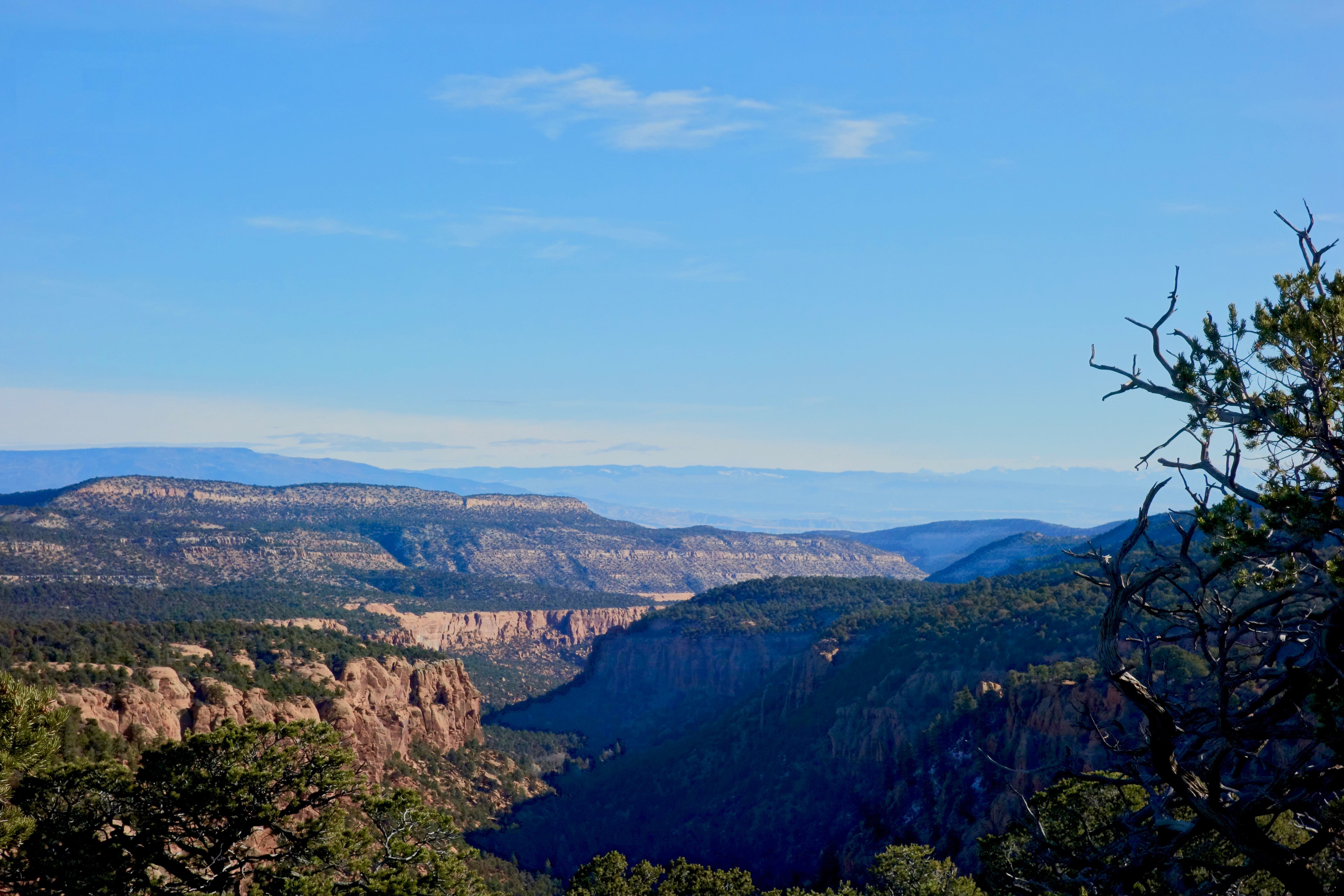
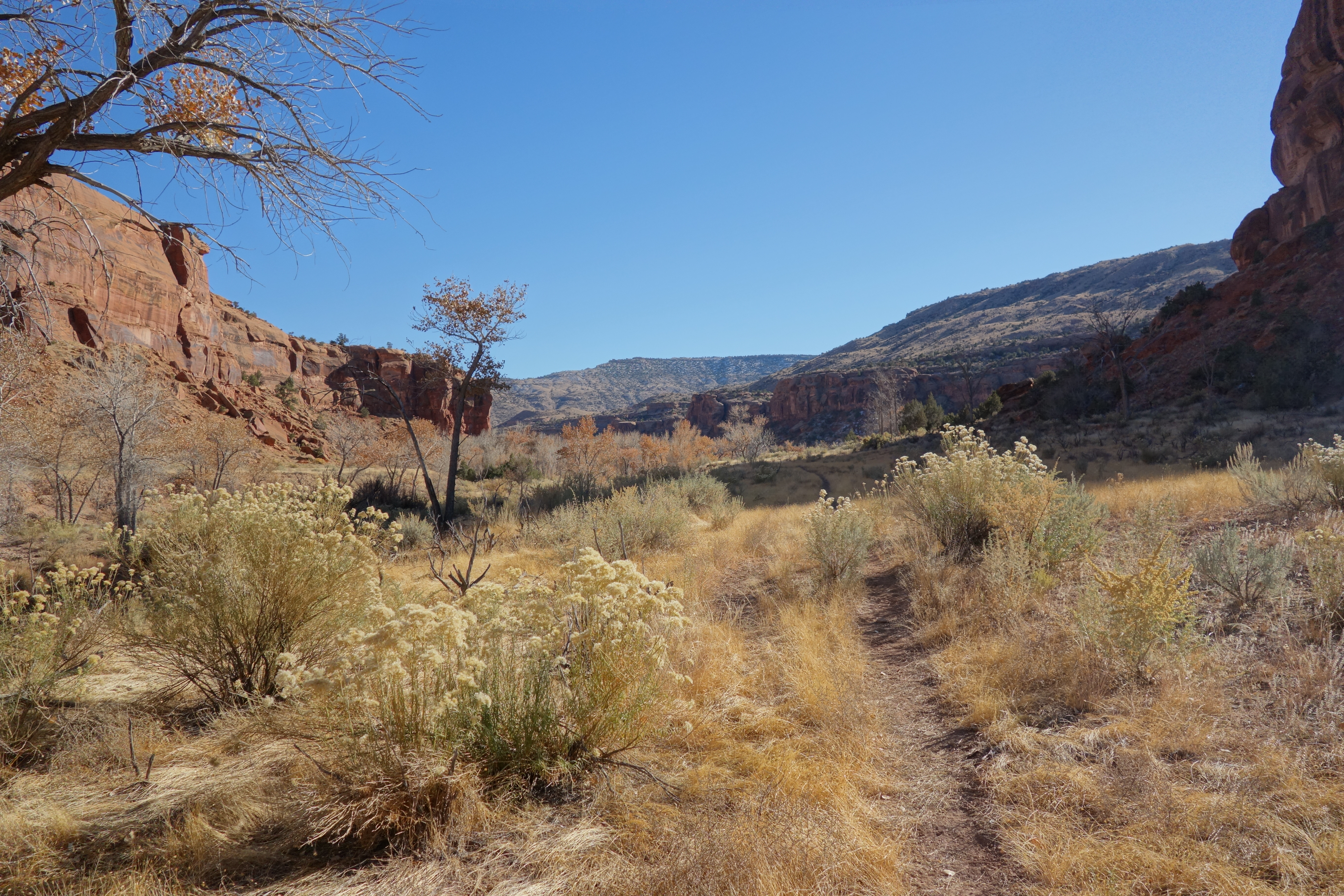
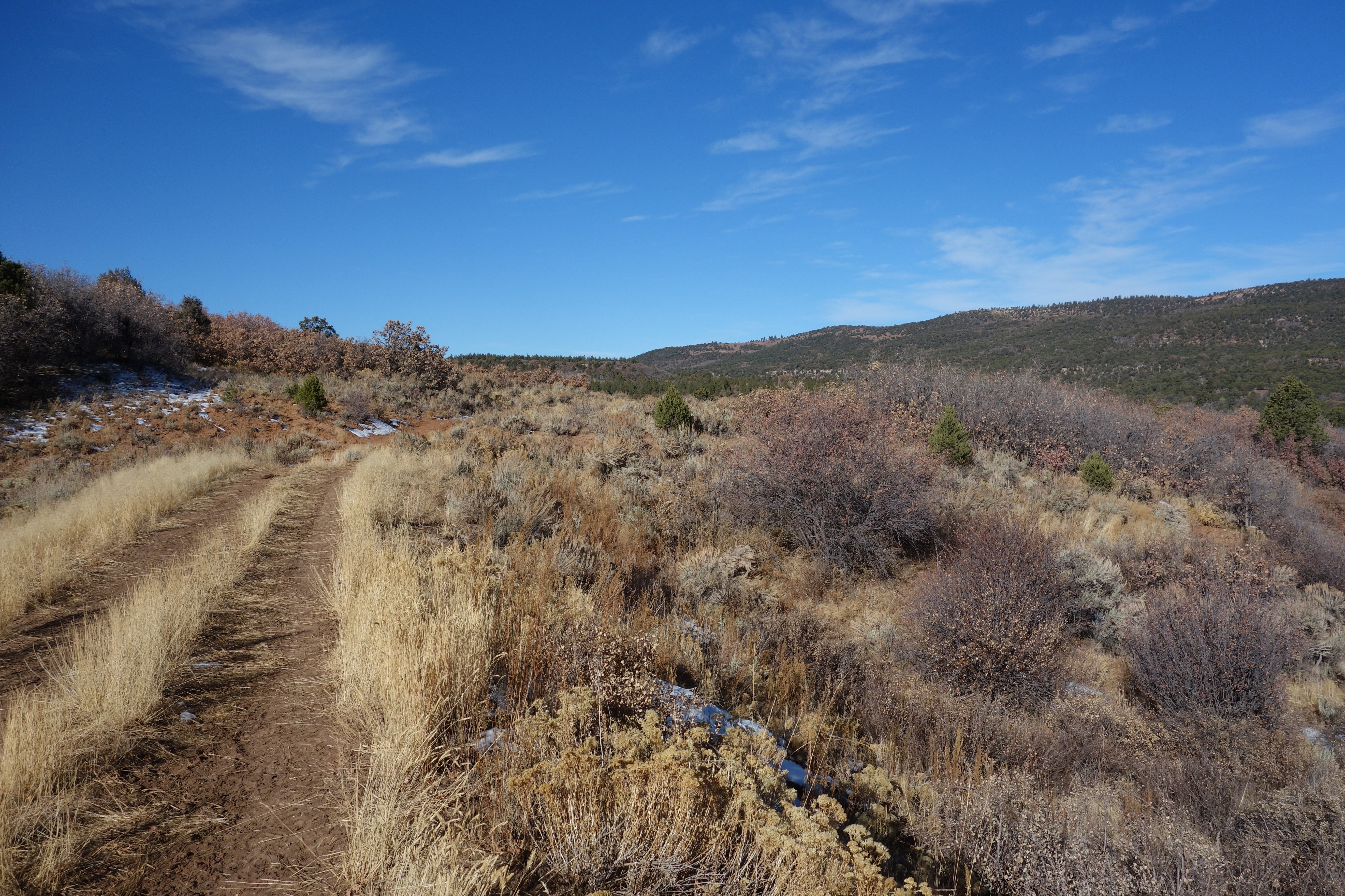
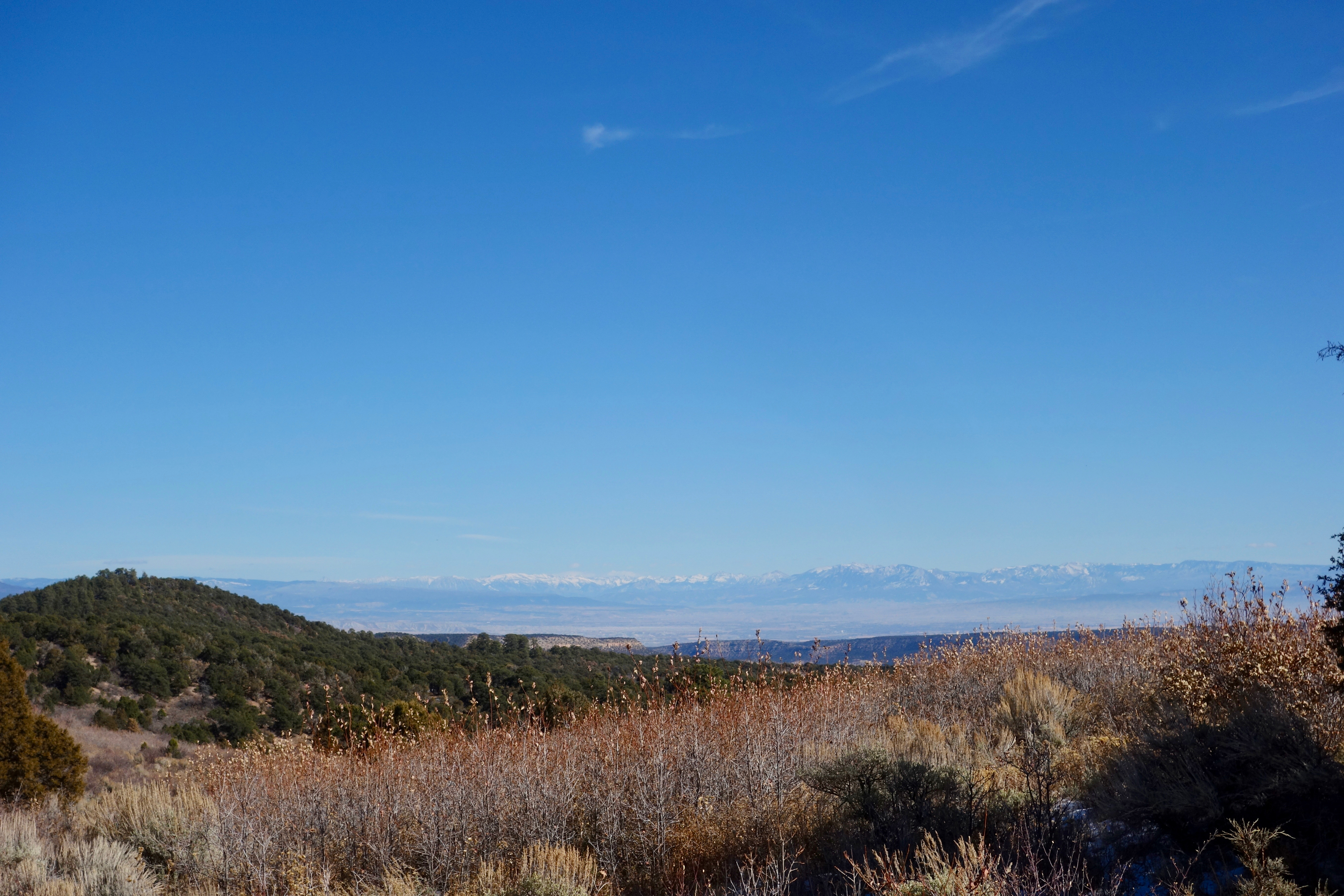
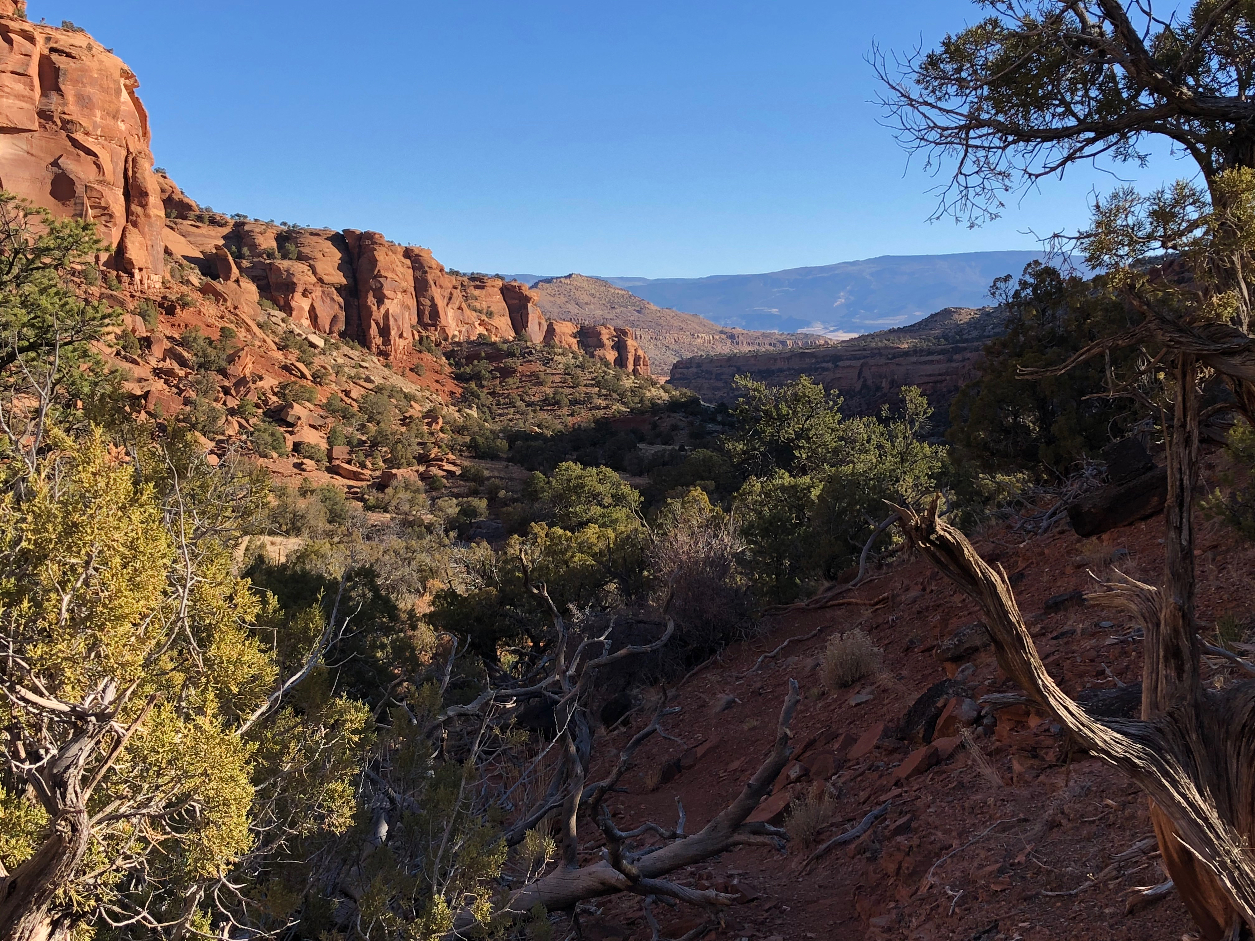
I soon topped out on the plateau and began a pleasant walk on ranch roads that wind around the heads of canyons, passing through classic pinyon-juniper country. Views of the western ranges abounded: the Grand Mesa directly across the Gunnison, the West Elks to the east, the Grenadiers to the south. It felt good to stretch my legs on an open trail and cast my gaze to distant ranges. Canyon country has its charms, but feels confining after a day or two. Give me a ridgewalk any day.
I neared the head of Big Dominguez Canyon and began seeing ATVs filled with hunters out scouting the area. I took my afternoon break at the campground, made use of its luxurious privy and headed down the well-maintained trail into the canyon.
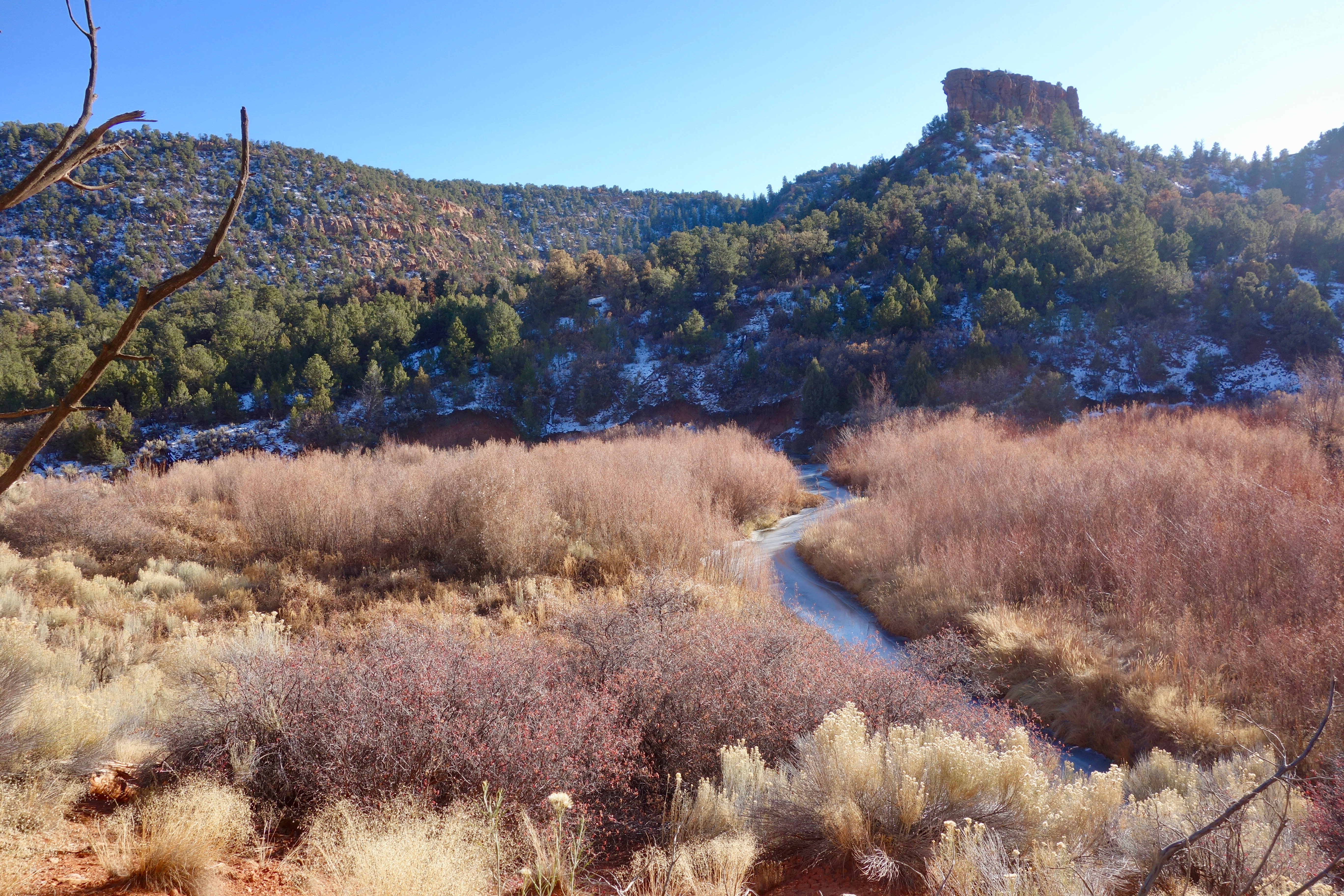
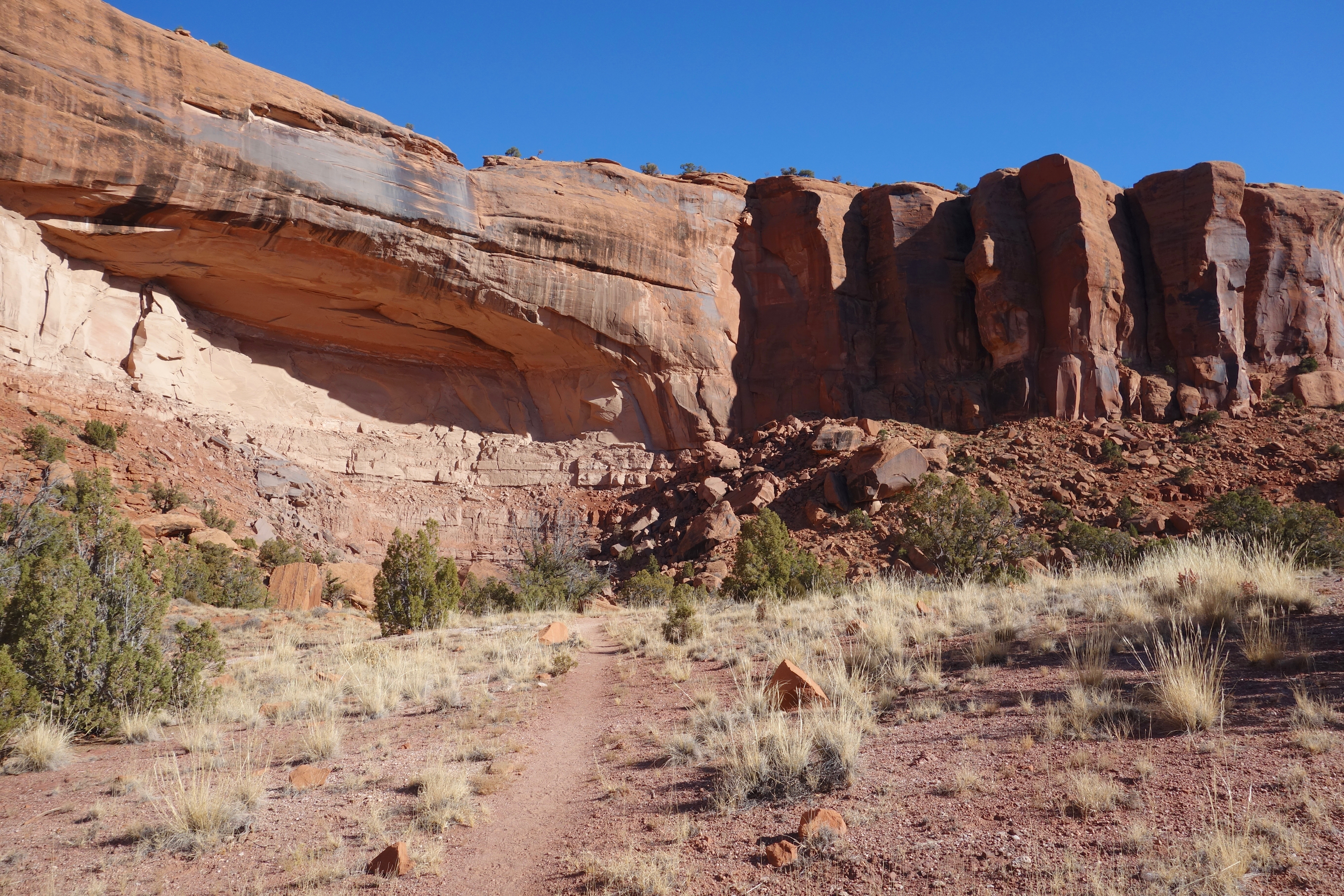
Big D canyon also has an iced-over marsh, one that proved impossible to photograph with the sun low behind it. I continued along the trail, which mostly rode on benches above the stream. Coming to a wide flat spot with good views of the canyon walls, I decided to call it a day.

Day 4 – Big Dominguez Canyon back to the Gunnison
The trail continued good down the canyon, and its greater width allowed the sun to hit me much earlier in the morning, making for ideal walking temperatures.
Big D canyon is pleasant, not spectacular; it is no Zion or Grand Canyon. But pleasant was good. I was out, I was walking (not thrashing), I was content.
After a few miles I came to the first of the petroglyphs that are the star attraction of the canyon. The figures on horseback suggest that they are not more than 300 years old, when horses first made their way to these lands. Beside them were some cowboy inscriptions, dated to 150 years ago. Some abandoned mining equipment is a little further down the trail, probably less than 100 years old. Near it was a half-full plastic water bottle, left behind in the last few weeks.
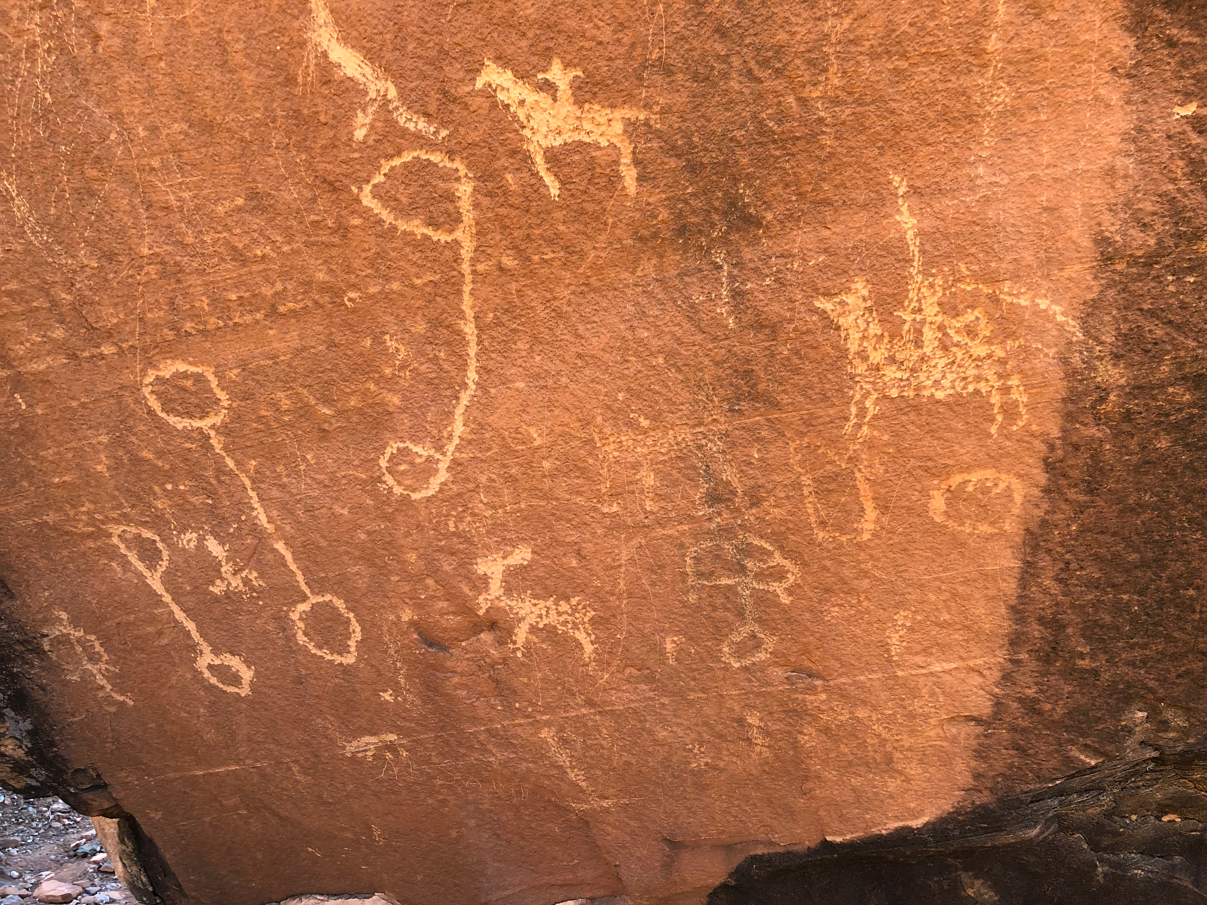
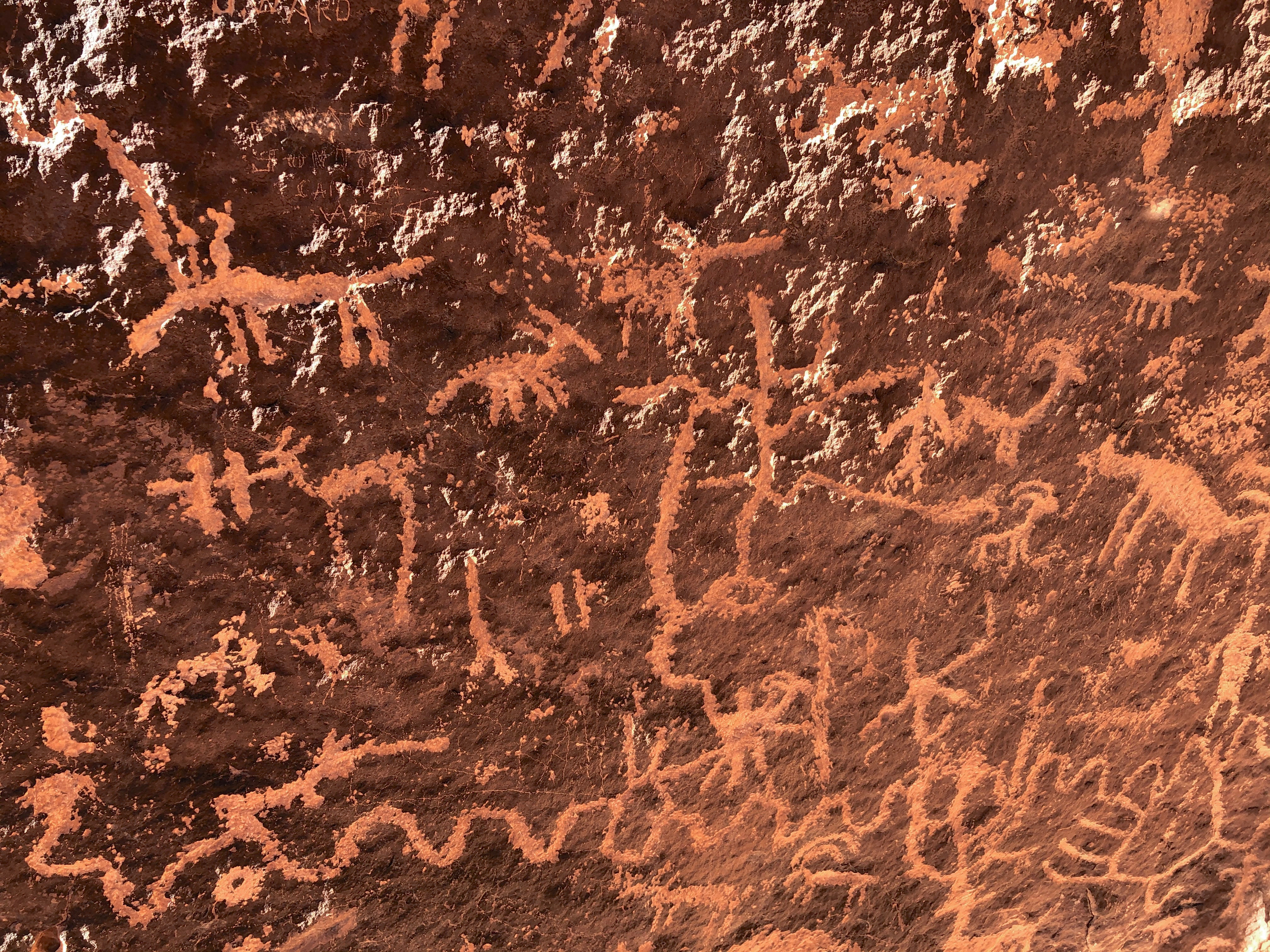

Which of these are trash and graffiti and which are historic artifacts and art? Is it age that makes the difference or is it strangeness? The minds and motives of the Ute artists are obscure to me; that of the miners and cowboys somewhat less so; that of the day-hiker not at all. A bit of mystery is all that’s required to turn trash into art.
I ended my ruminations and scurried the remaining miles downcanyon, hoping to get to Grand Junction in time for lunch with my cousin. I stepped through the sun-filled canyon, eyes up on its amphitheaters and pillars, crossed the river and walked from my lost highway back to civilization.

Gear list
