Despite the drought and dry soils, my meadow campsite turned wet as soon as the sun went down. My tent was sogged with condensation which froze around midnight.
But the morning was clear and bright. I felt a little better, managed to eat a couple bites of breakfast (scrambled eggs with veggies), and set out hiking, looking forward to getting high and deep into the remote country beyond the pass.
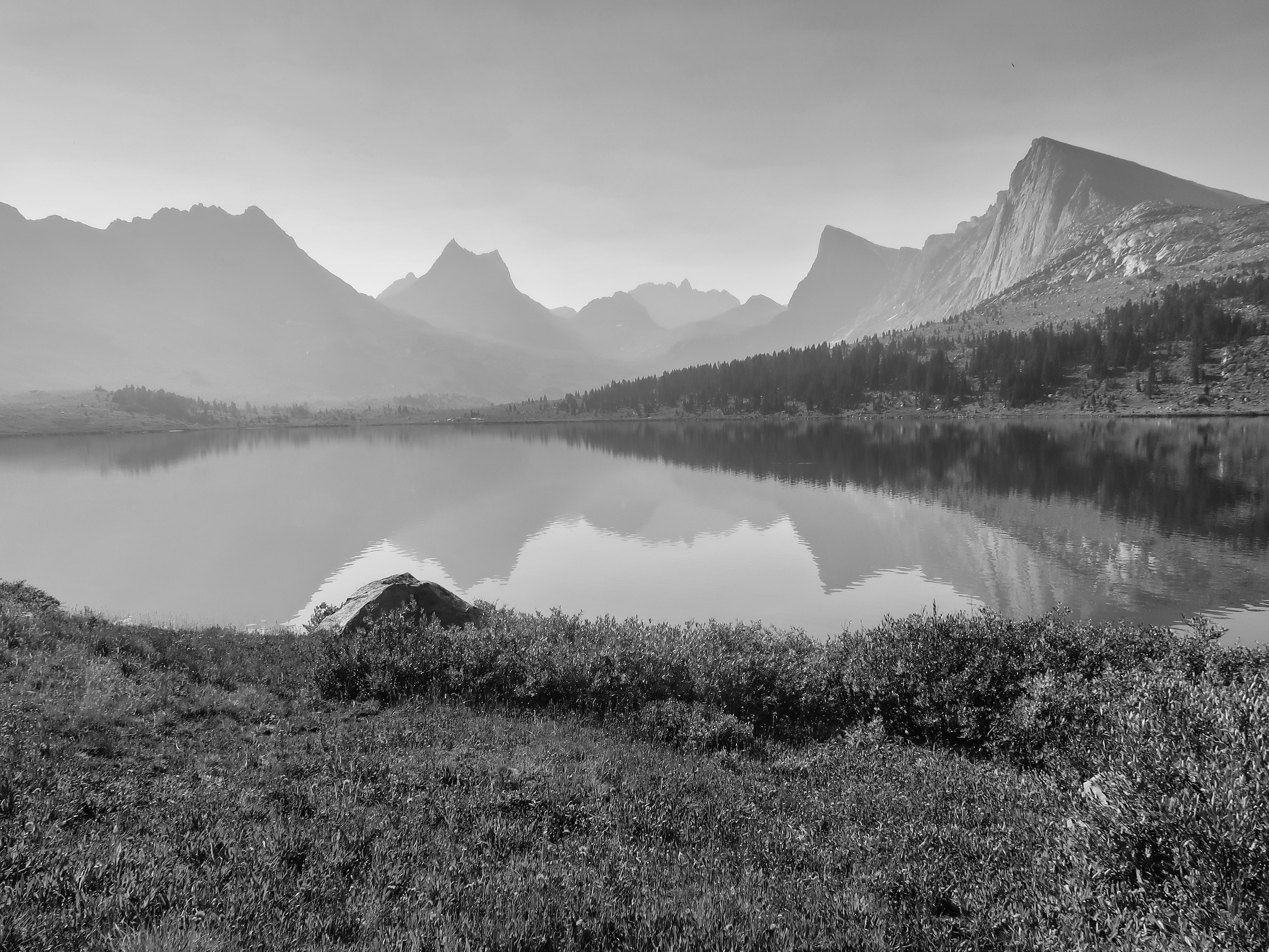
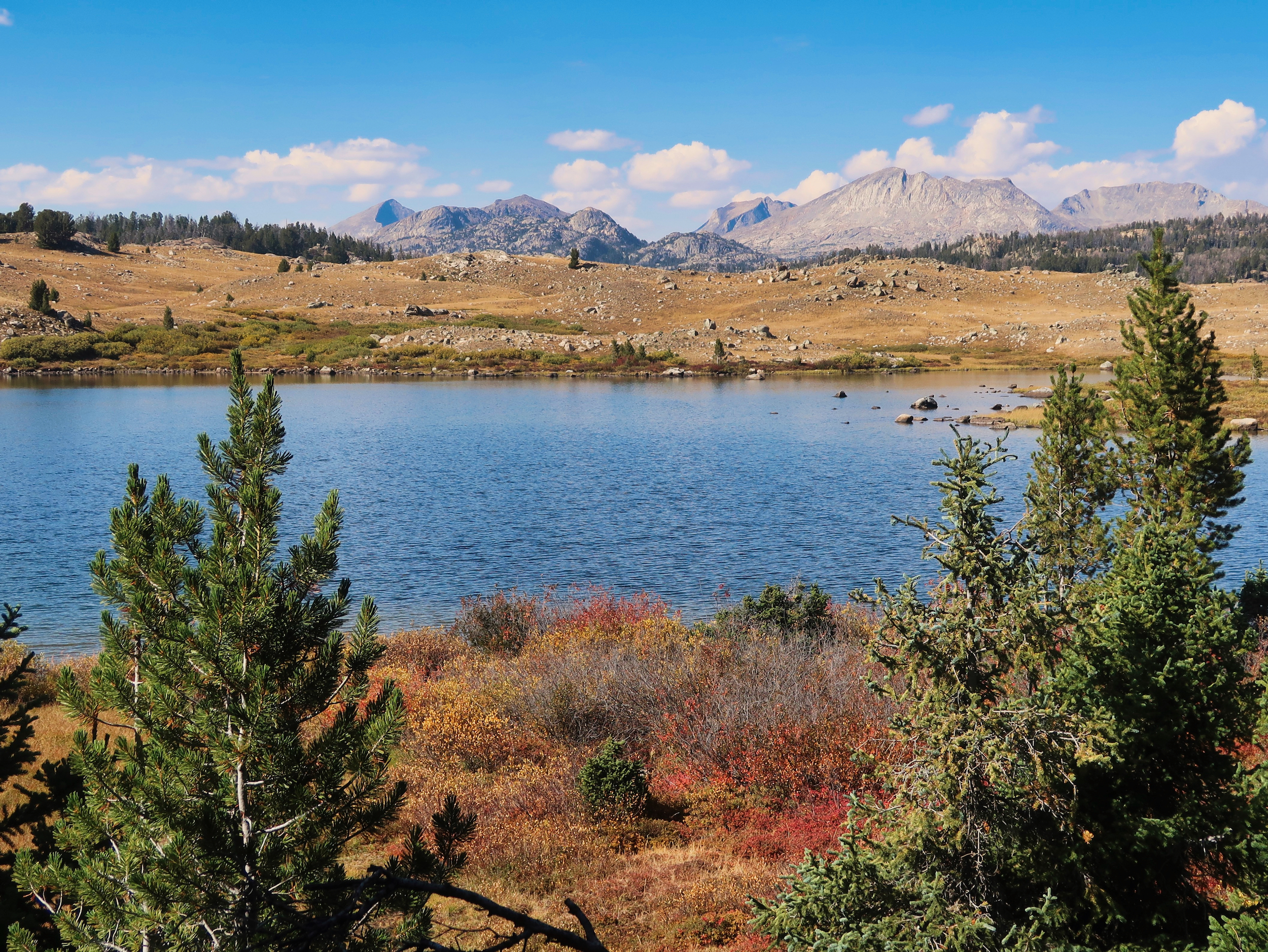
By the time I made Middle Fork Lake a couple miles on, thick smoke was blowing in, turning the granite towers into ghosts. There were fires at Togwotee Pass nearby, as well as in Idaho and Montana. The return of dry weather meant the smoke was likely to get worse.
I cut cross country up to the trail to Kagevah Pass. There was not much trail there, just occasional cairns. The way was not hard (besides being steep) but it made me wonder what the trail would be like on the other side of the divide. Maintaining trails for the benefit of (mostly non-Native) hikers is probably not a big priority for the Shoshone.
There was a decent chance that the 20 mile loop I had planned on the back side of the divide would be largely cross-country, often a bushwhack. I have done plenty of cross-country travel, such as on the Desert Trail, and plenty of heinous bushwhacks elsewhere. It’s not the end of the world and is often fun.
But I’m getting older (67) and my appetite for such adventures — and my confidence that I can execute them safely — is diminishing. Taking stock: the trail was bad and likely to remain so, I still felt weak and nauseous, it was smoky and getting smokier (I’ve hiked through plenty of smoke on the PCT and hated it).
The odds did not seem in my favor for this particular challenge. Even if I did it, it was unlikely to be fun. Time to consider an alternate. The map showed that I could loop around Middle Fork Lake, climb a divide and drop down into the Rainbow Lake basin. From there I could cut down past the CDT and over to the Highline Trail, which would also take me back to Big Sandy without retracing my steps yet again.
This felt like the right choice. I angled down to the lake and followed its north shore around to the east end. To my relief, the wind was shifting and the smoke was dissipating.
There wasn’t a real trail around the lake and over the saddle, just cairns, but the country was open and the walking was fine. I stopped at the saddle for a snack, my appetite finally beginning to return. The day was looking more promising.
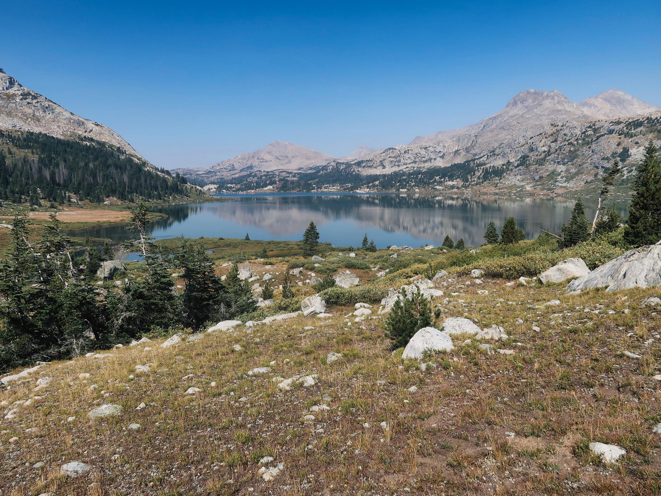
I’d thought perhaps to camp at Rainbow, give myself time to fish. But there weren’t any outstanding campsites. Worse, the water was green with algae, visibility only a couple feet. I was just starting to feel good again, and not at all up for drinking any more algae water. Also, no fish were rising. The lake is beautiful, but it just wasn’t going to work for me, at least not this year.
I followed the barely-trickling outlet stream down to the CDT, wound around to the west side of Dream Lake to connect with the Highline Trail and headed south looking for a place to camp. Good sites were not in abundance. My ideal campsite is open for views, yet has trees for shade and shelter. It should have rocks to lean against to facilitate loafing. It should be level, but not too level–you want water to drain, not pool up. And it should have reasonable access to water, preferably clean water that also holds a thriving fish population. Firewood is rarely a priority for me unless it is wet and cold. Conditions were instead warm and dry, too dry really to risk a fire.
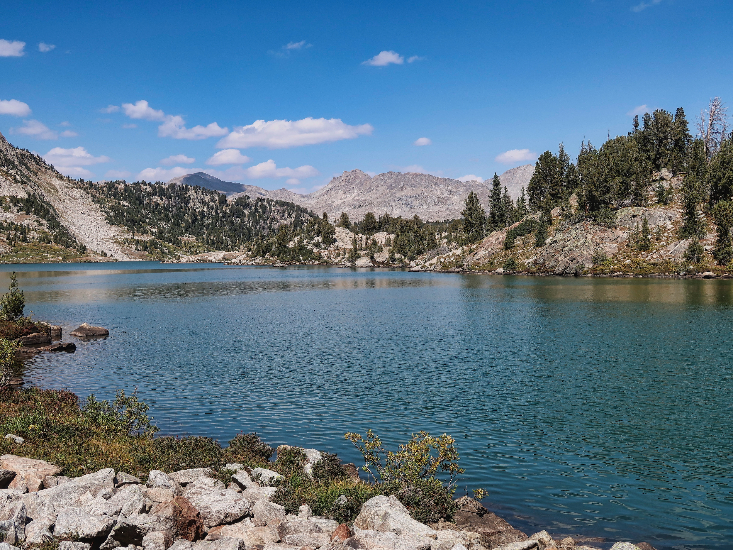
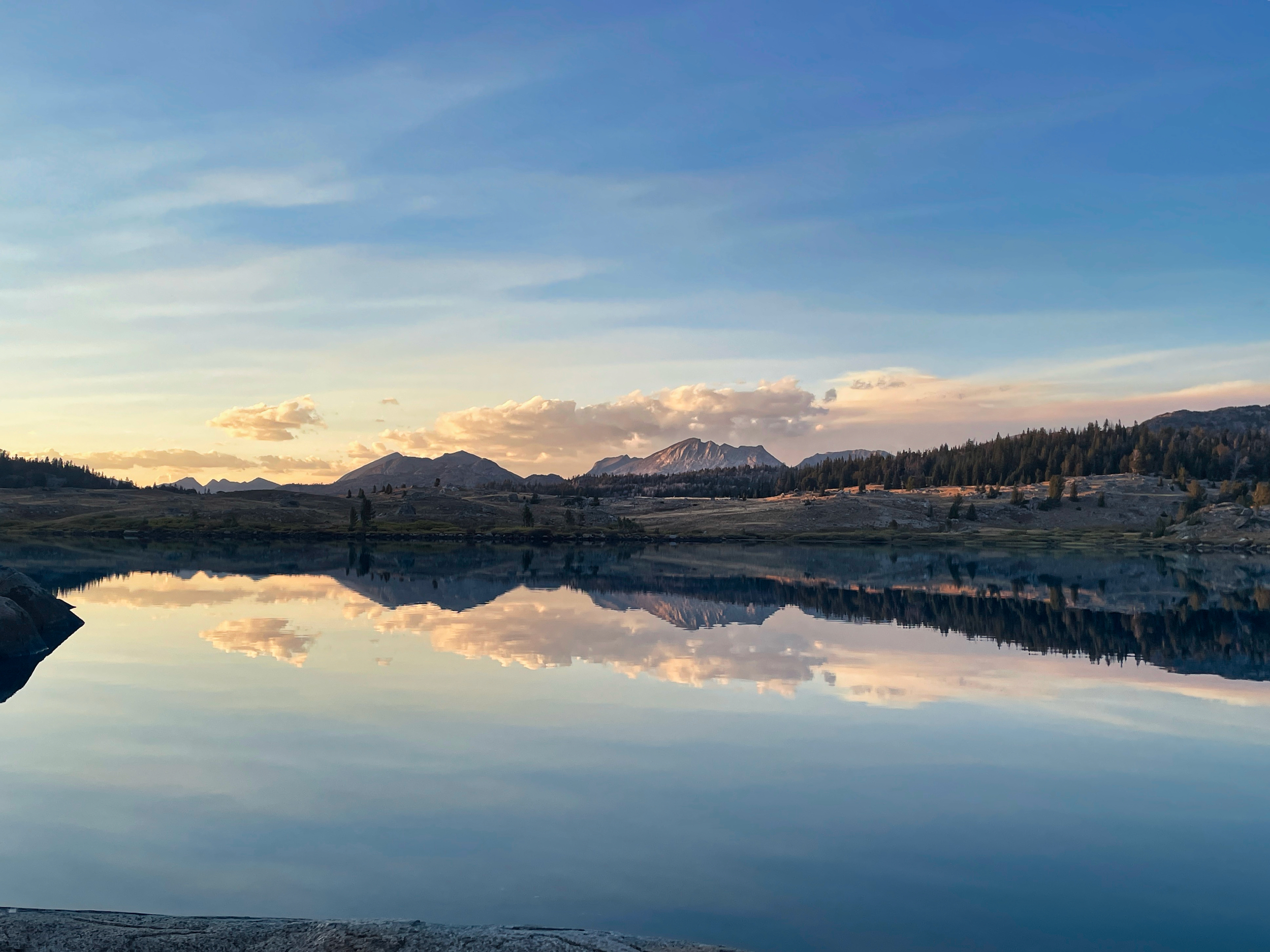
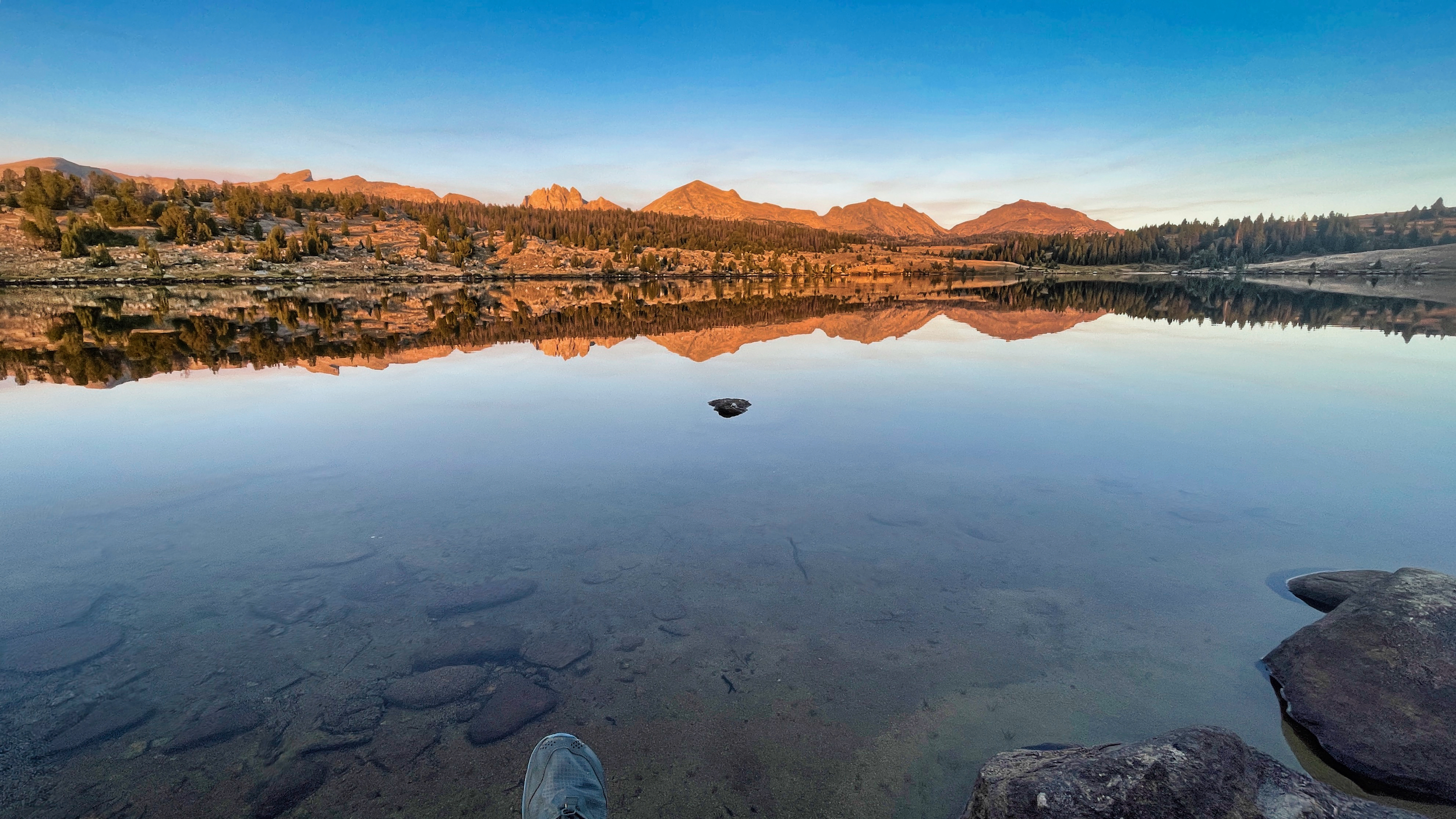
It took me a while but I did find a good spot a hundred yards off the trail, a hundred feet back from the lake. Despite being somewhat downstream of algae-filled bodies of water, the lake water was clear and good to drink. I waded out a ways to wash up, then settled in to loaf and snack, my appetite urging me to make up for all the meals I had skipped. It had taken 4 days, but I finally found my happy spot in the Winds.
