

Cathy completed her last round of chemo (yay!) and her sister came to visit, so I had time for a multi-day backpack trip, and thus also had the pleasant task of deciding where I wanted to go.
The mountains of the Front Range and the rest of Colorado are very beautiful. They are big, broad-shouldered mountains, heavy and worn with the weight of age. They can be dark and moody at times with their dense forests and worn granite. Beautiful yes, but in the style of the Old Masters, their light embedded in a background of shadow.
I wanted instead to walk in the light among bright granite towers. The Sierra are of course the epitome of this, Range of Light and all. But they are far away. The Wind RIvers are much closer and run a respectable second in the abundance and quality of their granite and their light.
I hadn’t hiked the Winds since 1985 or so, far too long a time to neglect a range that is no more distant from my home than the San Juans. The west side of the Winds is laced with a dense network of trails. I plotted some plausible loops of 60-80 miles, packed my pack, jumped in my car at 4:30 AM, and was at the Big Sandy trailhead a little after 1 PM.
My plan was to get 8-10 miles in today along the CDT corridor paralleling the spine of the range. This would position me to cross the Divide into the Wind River Reservation, then loop back around through one of the several trails and passes that angle back toward Big Sandy, passing many high peaks and big lakes along the way.
The sun was out but clouds were building as I headed north on the CDT. I hiked fast, hoping to gain the plateau before the storm and so avoid hiking uphill in the rain, rarely a pleasant experience.
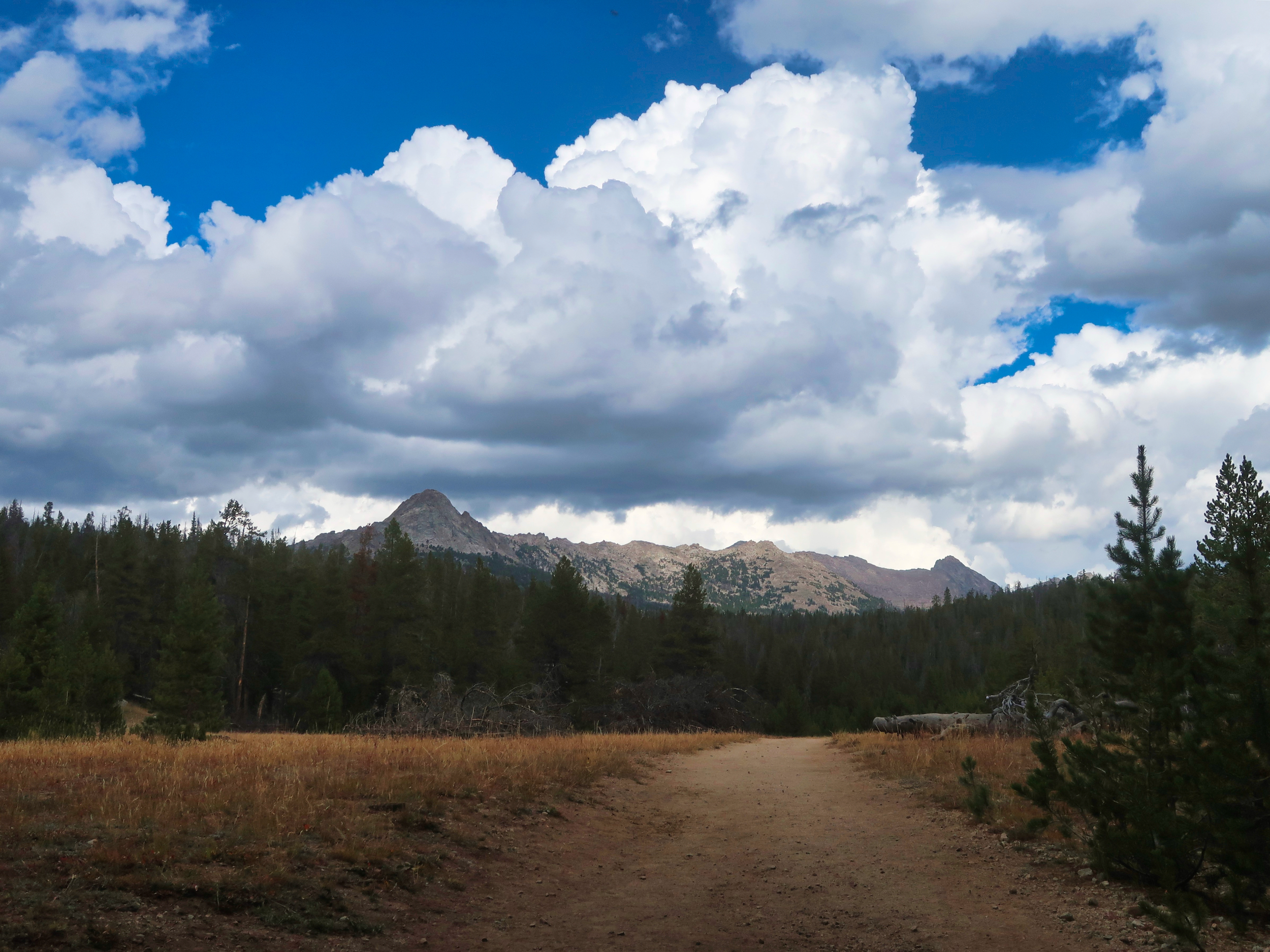
View of the high country from the first meadow
After a couple of false starts, the rain started in earnest around Fish Creek Park. It was accompanied by way more lightning than I prefer when walking through open spaces.
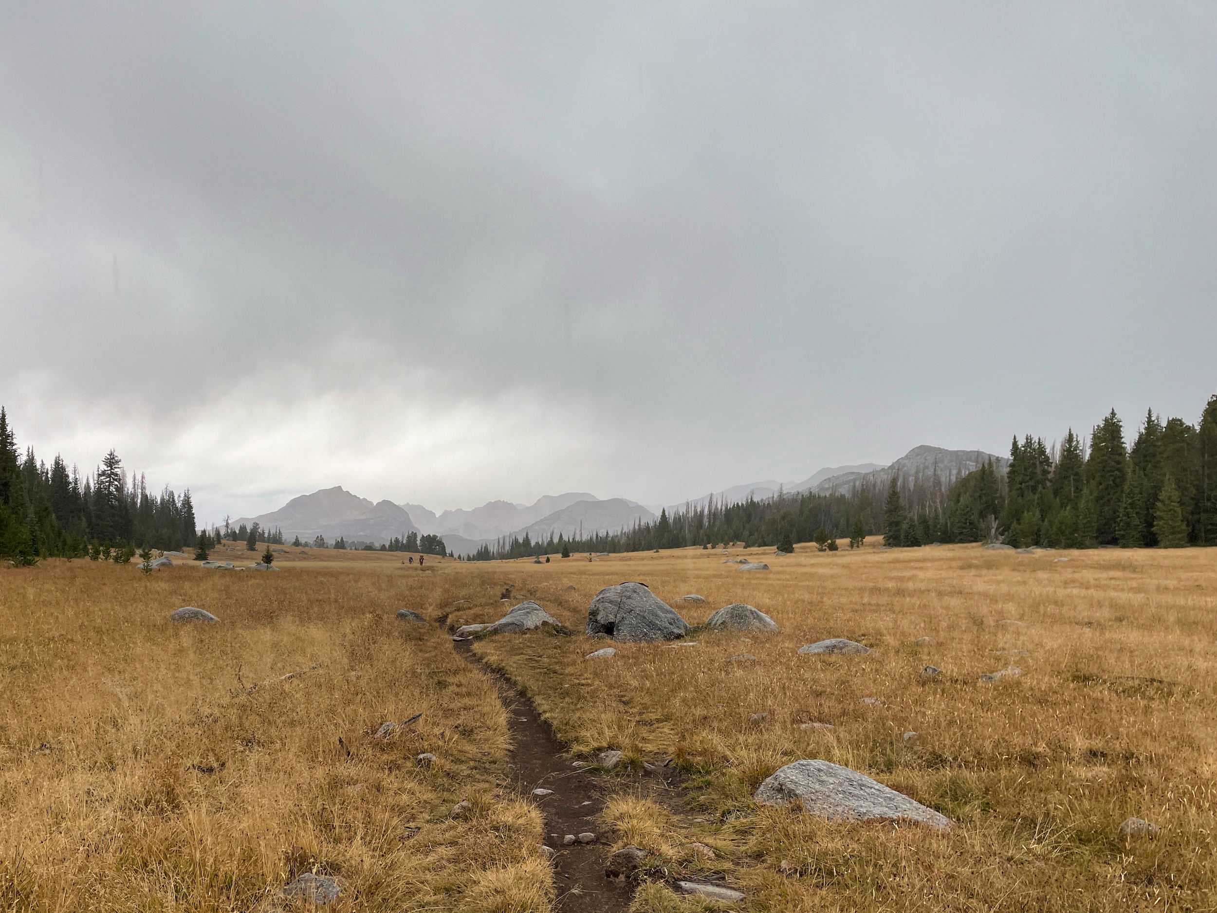
Not a great place to be in a thunderstorm
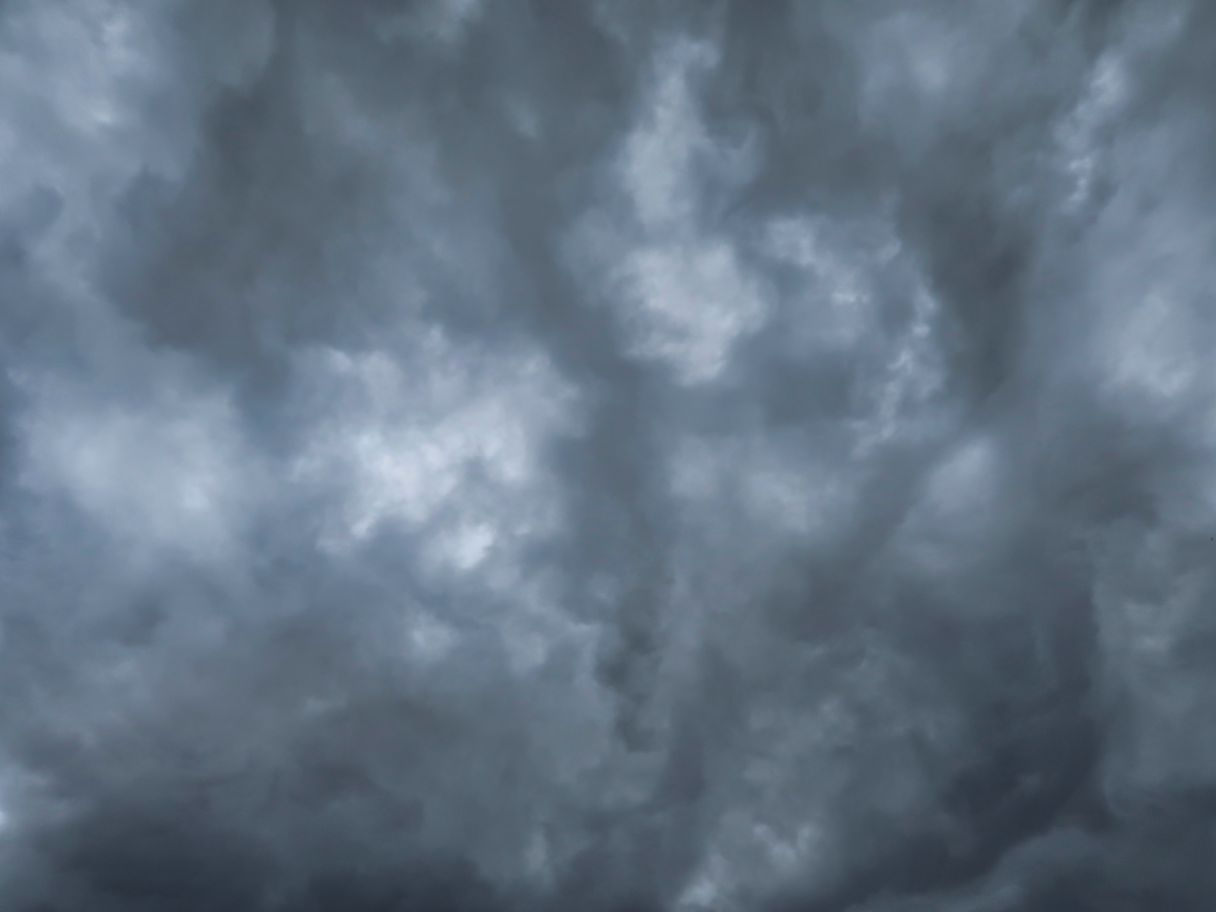
This was totally an accidental picture taken due to wet slippery hands, but I think it is kind of cool
The trail from that point on is at the 9800 foot level and just climbs over small ridges stretching out from the crest. In between the ridges are meadows and lakes.
It rained hard for about 90 minutes, then began alternating between clearing and clouding and raining again. Each clearing of course gave me hope that the wet weather was moving on and dry weather was moving in.
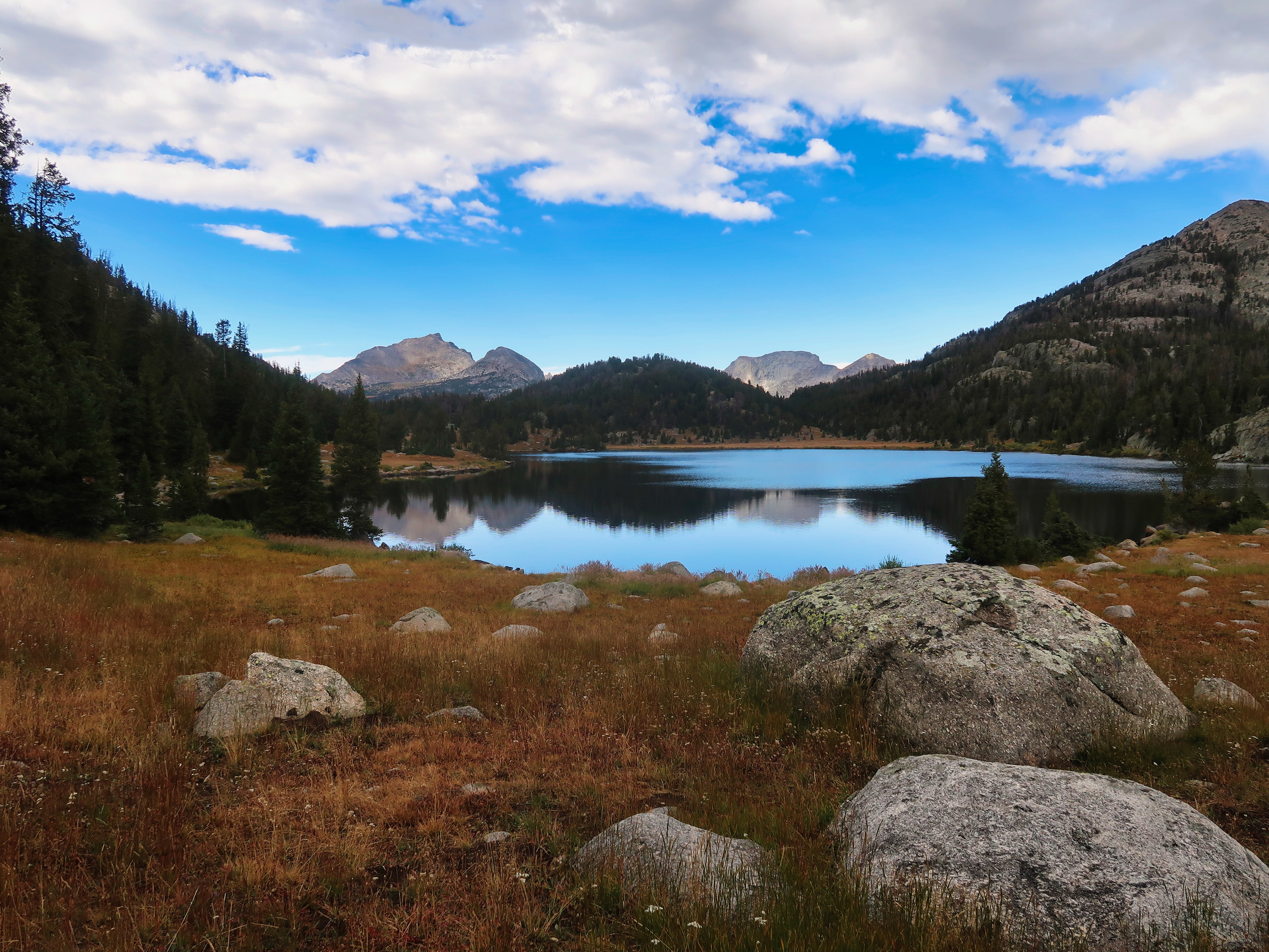
Marms Lake backed by tantalizing blue skies
Marms Lake featured a spectacular backdrop and good campsites. I considered stopping there, but it was only 4:30 and I figured I could get 2-3 more miles in. I was anxious to make miles while the trail was easy, since there are always harder miles ahead. I’d only stopped to munch down a bar. The cool wet weather meant my 0.7L bottle of water was holding out and would be good for a few more miles, No need to stop and water up.
I made it to the East Fork River valley around 5:30 as the skies began to darken. It wasn’t a great spot to camp — no flat spots in the trees for shelter, lots of cows on the far bank — but it would have to do, the map suggested there would be no better spots for several miles.
I went down to the bank of the low-running river to water up for the night. I reached into the back pocket of my pack to pull out my AquaMira kit — and couldn’t find it. A search of the other pack pockets yielded nothing.
It was beginning to rain. I filled my TiBot and water bottle and climbed up to an unprotected but fairly level bench, pitched my tent, climbed in and began sorting out the situation. No AquaMira appeared when I emptied out my pack. I didn’t have it.
There are some areas where this would be no big deal. I’ve hiked for days and even weeks in Colorado and in the Sierra where I never treated water, drinking directly from springs. That wasn’t an option here. I had seen no springs. It was late in the summer of a serious drought year, the streams were running low and sluggish. There were posted warnings about cyanobacteria. There were cows.
I could boil water to get through the night, but that was not sustainable — I had nowhere enough fuel to do that for six days. Building a fire to boil water every night would not be practical either, especially if the weather dried out.
I was sure I had packed the AquaMira. I always use checklists precisely to avoid these types of situations. The road up to the trailhead had been long and bumpy. The elastic on my pack pockets was getting old and worn and stretched out. Probably the AquaMira bottles had bounced out of my pack and I hadn’t noticed them in my eagerness to get hiking. I would hike back to the car in the morning and reset the hike.