

Hiking opportunities this summer will be limited by Cathy’s chemotherapy schedule. Every two weeks she gets infused with two drugs (leucovorin and oxaliplatin) at the cancer center, then is sent home with a pump that infuses 5-fluorouracil over 46 hours through a port.
She is pretty wiped out by this regimen for about a week, then slowly regains her energy and is much more herself by the end of the cycle. I feel OK about doing an overnight trip at that time.
Despite living close to Rocky Mountain National Park, I have not done too much backpacking there. Permits are snapped up months in advance and no dogs are allowed in the backcountry. But I am dogless now, and there are always a few permits available here and there.
One was available for Peregrine campground, which sits on the back side of Lumpy Ridge. The ridge is a popular climbing spot featuring granite spires (or lumps I suppose) a short walk from the trailhead, which is itself just on the outskirts of Estes Park. There’s a trail that goes over the east shoulder of the ridge, and one that goes over the west shoulder. Both are about 5 miles and an 800-foot climb to Peregrine, making for a natural loop hike.
The trailhead lot was full and there were plenty of dayhikers out and about. The skies were clear, the wind was low and views of Estes Park, Longs Peak and Glacier Gorge opened up nicely as the trail ascended.
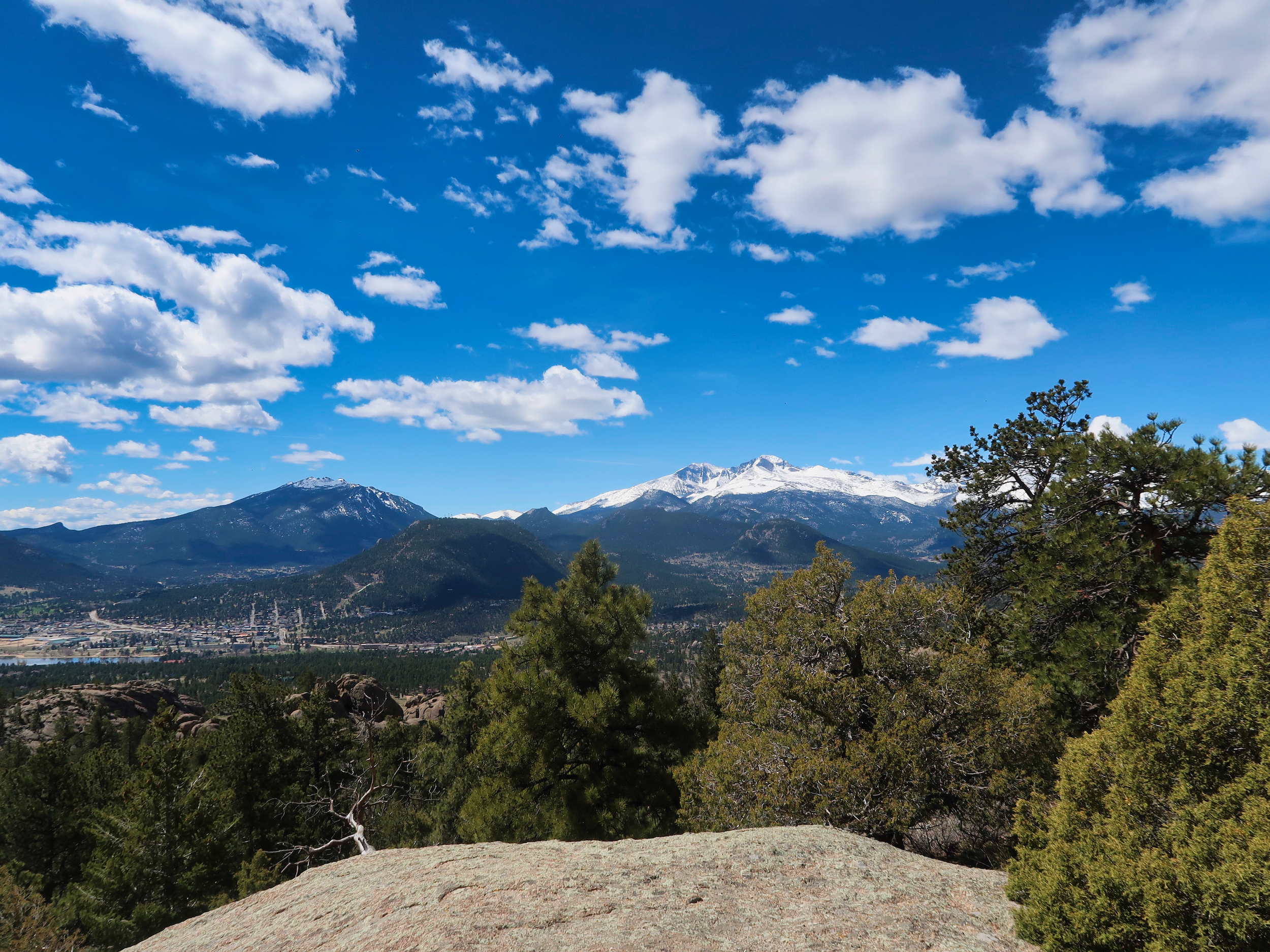
Longs Peak and Glacier Gorge
Most hikers were headed to Gem Lake, a small tarn at a dip on the east side of the ridge.
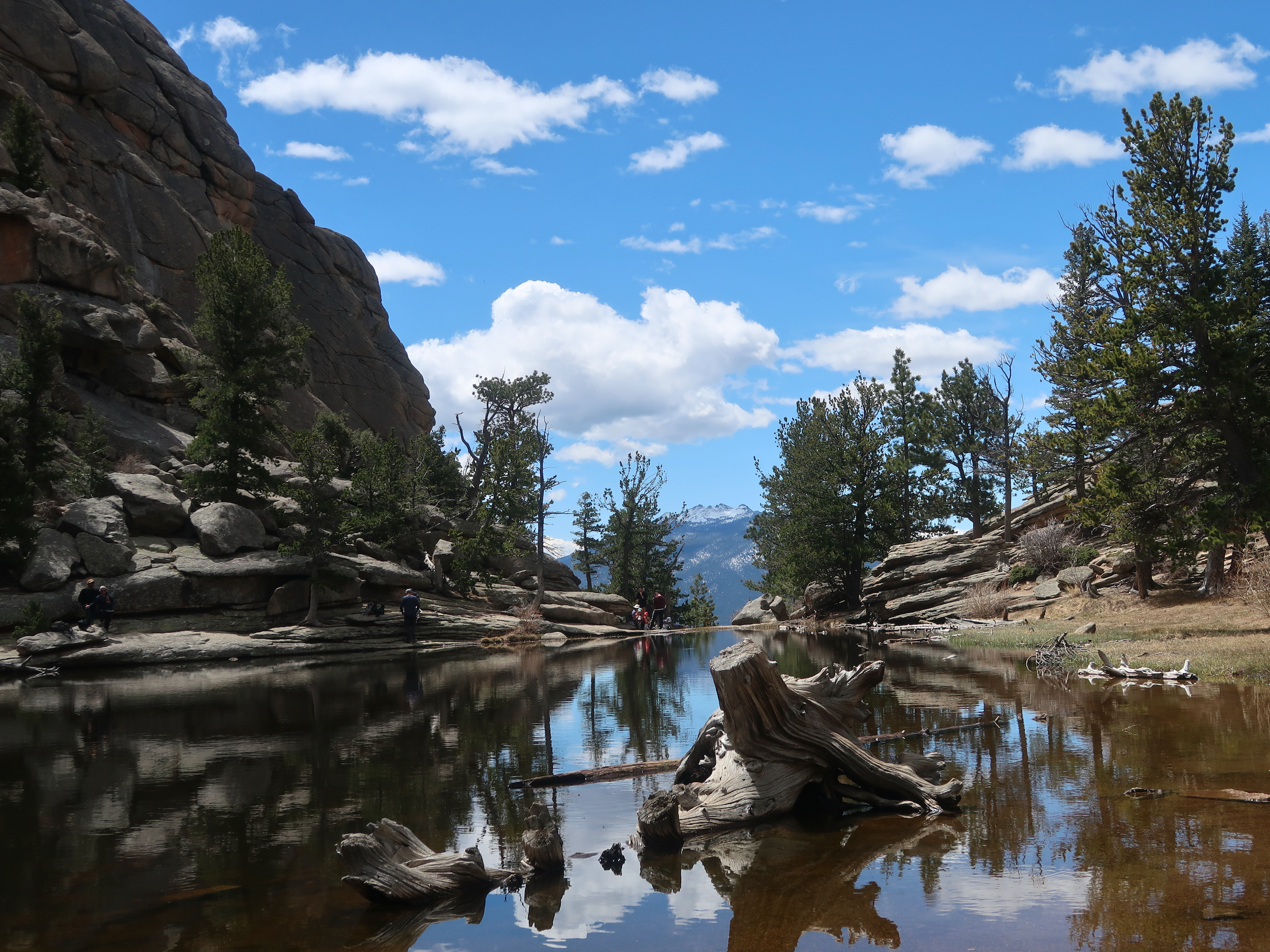
Day hikers enjoying Gem Lake at the top of the climb
From there the trail drops down into the Cow Creek drainage, with views of the Mummy Range dominating the skyline.
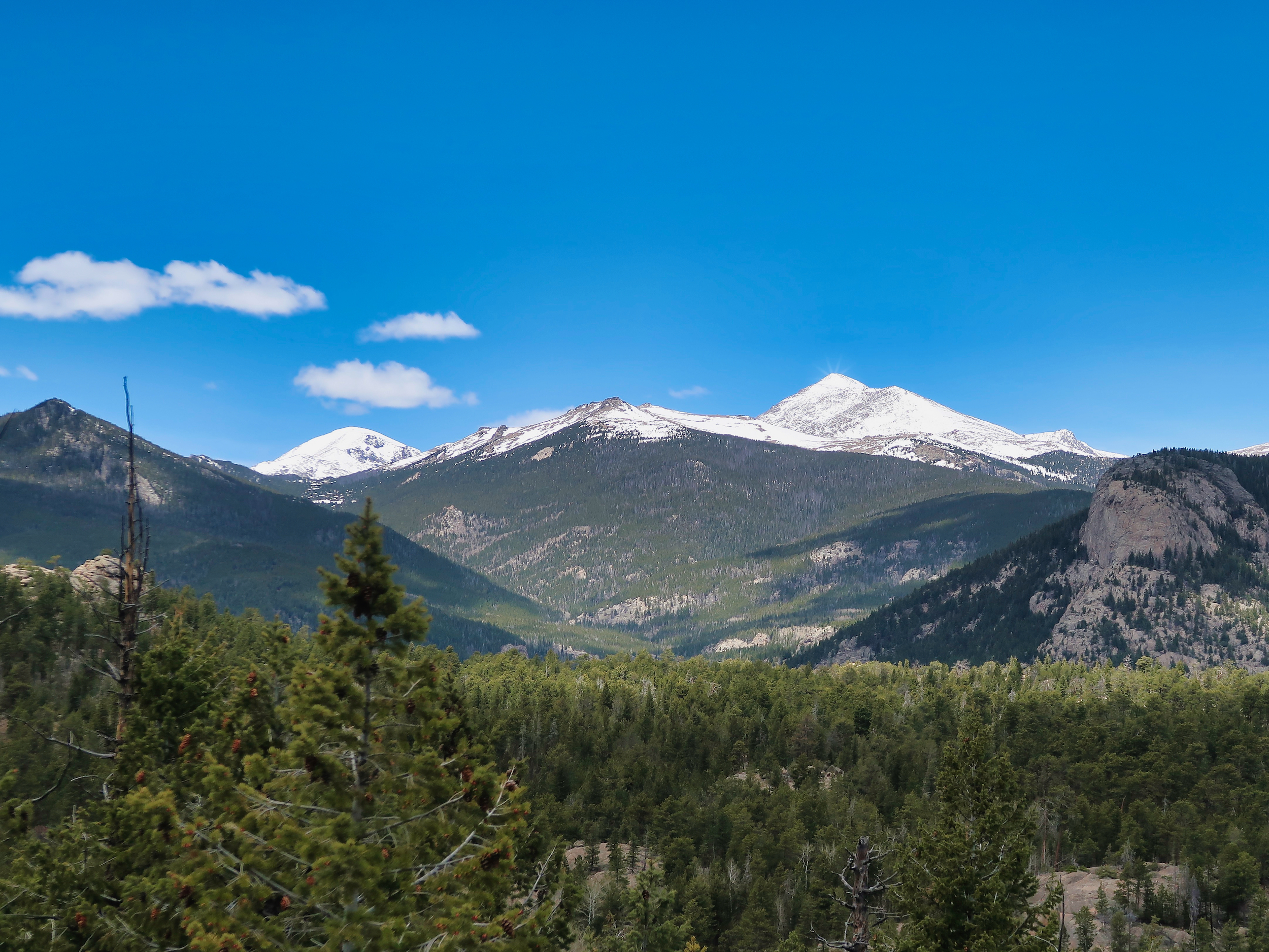
Mts Chquita and Ypsilon to the west
The crowds thinned considerably on this side. The trail meanders along the backside of Lumpy Ridge until it intersects with Cow Creek. There it becomes a pleasant creekside trail weaving through small meadows.
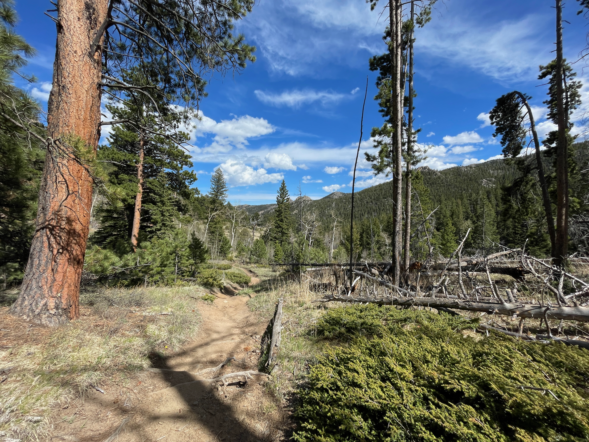
The Cow Creek trail
I soon reached Peregrine CG, set in an opening among the Ponderosas and Doug Firs a couple hundred yards back from the trail but close to the creek. I set up camp and then hiked up a mile or so to the falls. The trail was mostly meadowy and open until it butted up against the falls ridge, where it became a bit of a rock scramble. The falls were flowing well and made for a good spot to rest and contemplate the flow and energy of the water.
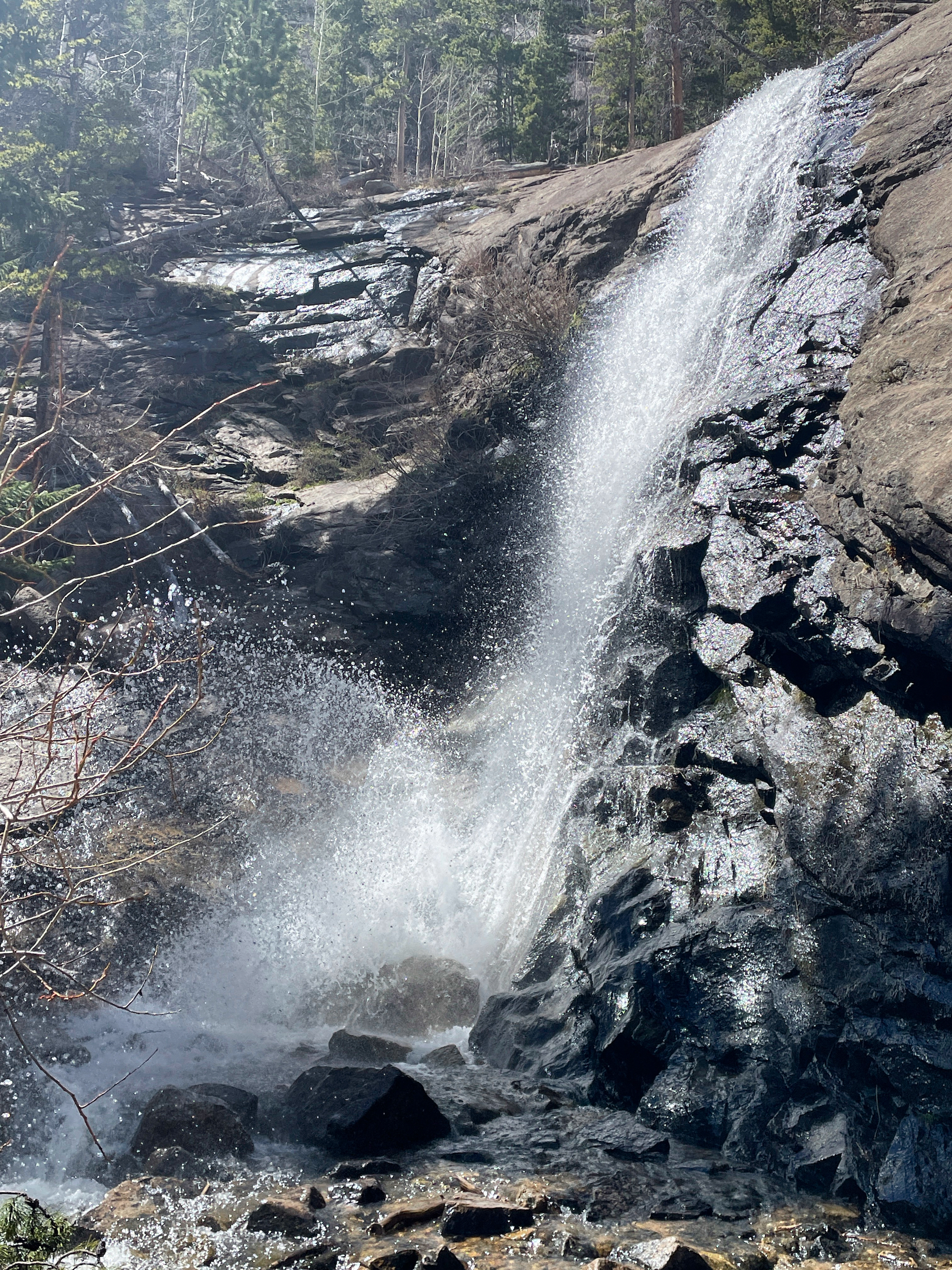
The un-uniquely named Bridal Veil Falls.
On returning to camp I set up my lightweight (1 lb) camp chair next to the creek, had a snack and allowed myself to absorb the peace and serenity of the place.
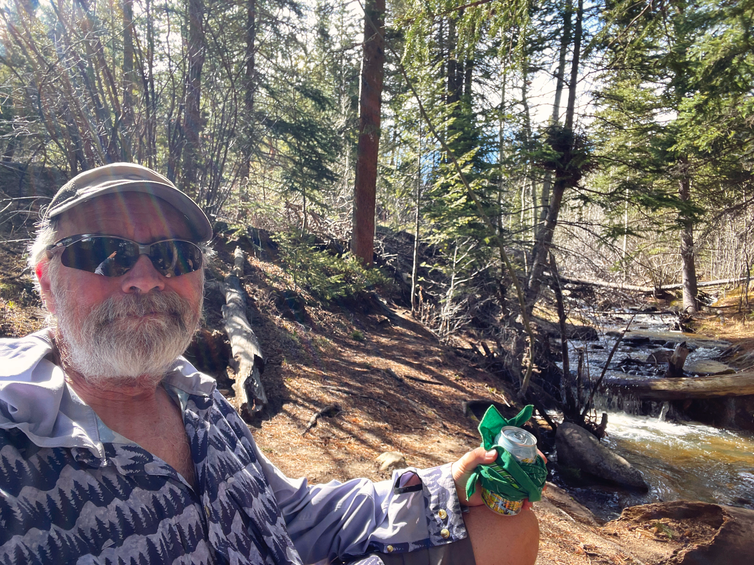
Enjoying the spring sun next to Cow Creek
The night was calm and not too cold for May. After a leisurely breakfast of freeze-dried French Toast I packed up and began the sometimes-steep climb to the west shoulder of Lumpy Ridge. There were a few forest-filtered views of the high country, but the most striking feature of the hike was its traverse skirting the south-facing wall of the ridge, exposing it in all its lumpy glory.
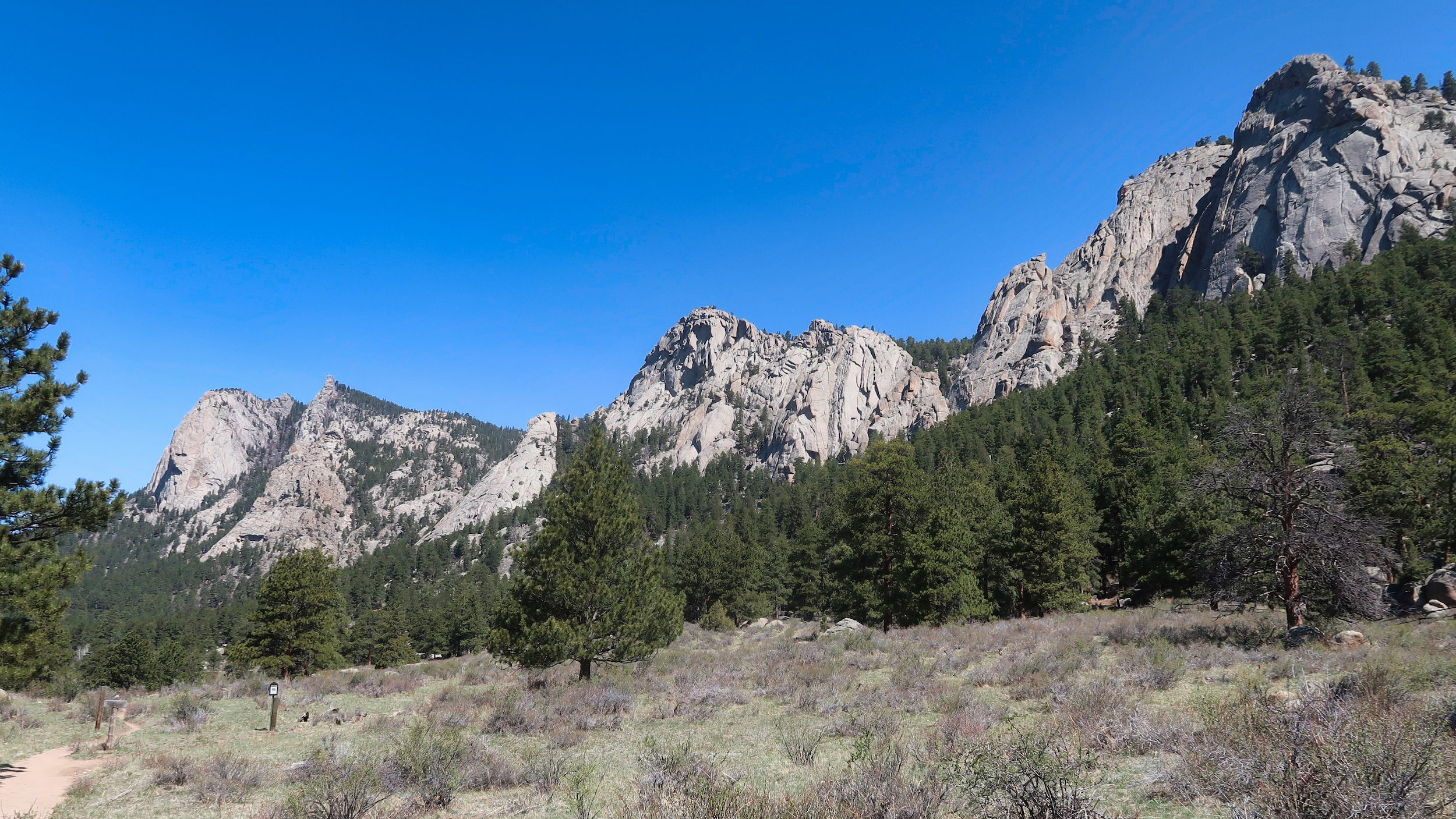
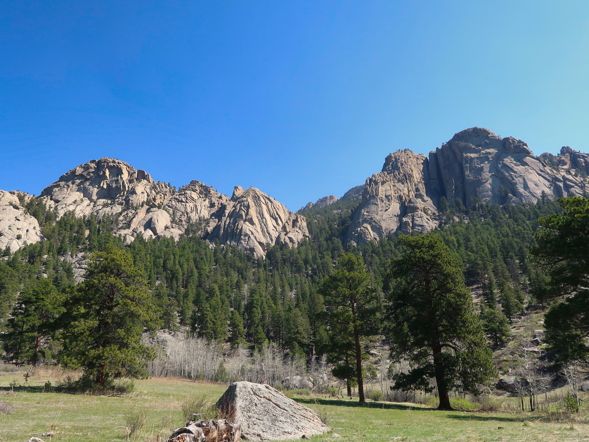
I think these are the Twin Owls – hard to tell from up close
This was not the most spectacular or challenging hike, but that is not what I needed. It gave me some time to be out amongst the trees and rocks and sky, to renew connections with these old friends. It was a good hike.