
My wife was a backpacker when we met. This was definitely on my list of qualifications for a serious relationship, along with being beautiful and smart. Although raised in Cleveland, she escaped at first opportunity to the west, and our first times away together were invariably camping or backpack trips. We were poor grad students and could afford nothing finer. But we wanted nothing finer either – we hiked the Rawahs, the Snowy Range, the Wind Rivers, the Flat Tops, the Sierras and of course the Indian Peaks and Rocky Mountain NP. We had each other, we had our packs and we had a whole country of mountains to explore. We were content.
That was thirty years ago. My love of the trail has continued, and in fact increased with age and my awareness that I will not be hiking forever. Cathy still loves the outdoors and loves hiking. But she began finding excuses not to accompany me on my trips a dozen years ago. These excuses became evasions, and she finally came clean and confessed that she just doesn’t want to carry a heavy pack or sleep on the ground anymore. Day hikes and camping are still in (and great fun) but backpacking trips – especially long hikes – are definitely out.
A slackpacking trip seemed like the right compromise. We could go on a multi-day hike together, but stay at B&Bs and have our luggage shipped ahead. No sleeping on hard ground, no layers of dirt and sweat, no heavy pack. Perfect.
We chose the Dingle Peninsula of Ireland as our destination. The Dingle is in the west of Ireland, in fact is the westernmost point in Europe. It is renowned for its beauty, its quaint villages, its 5000 years of history and archeology, its status as one of the remaining places where Gaelic (they just call it Irish there) is still the principal language.
The full Dingle Way is about 180km and takes 8-9 days to complete. We opted to cut out the stretch from Camp to Annascaul, hiking about 120km in 6 days. Typical elevation gains are on the order of 300m per day, so there are no long hard slogs up big mountains.
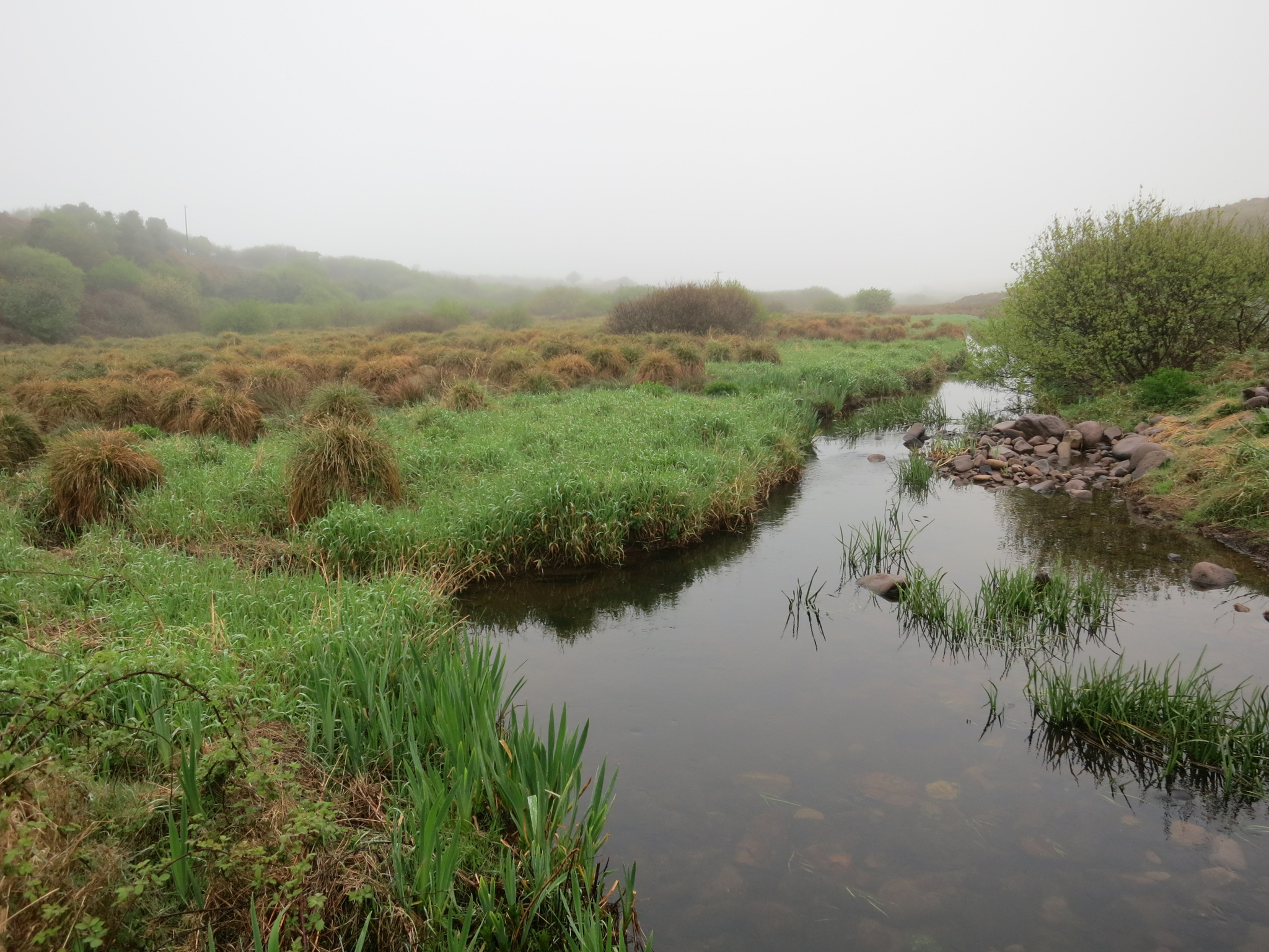
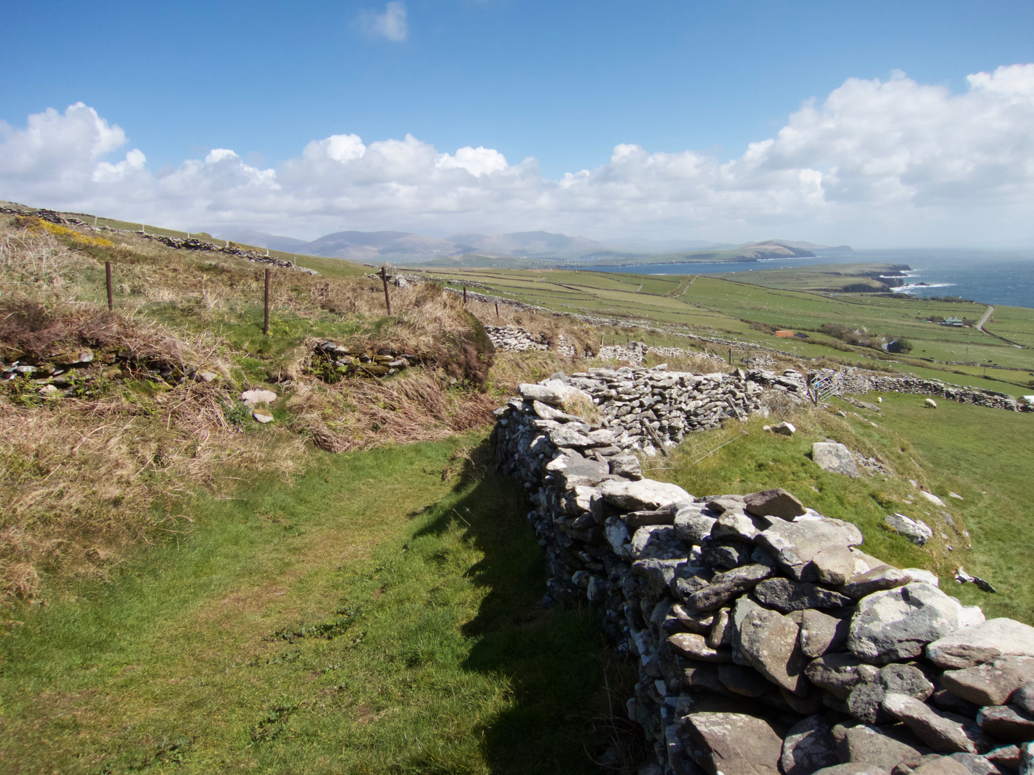
Ireland is not a wild country. It was settled over 5000 years ago and there is nothing that really could be considered wilderness. In fact, the country is the most deforested in Europe. The Dingle Way is composed of a variety of tracks and surfaces – perhaps 50% one-lane farm roads, 40% single-track trail (including long beach walks) and 10% narrow two-lane roads. The walking experience is distinctly pastoral, not wild, and there are few places where one could camp.
But enough with the chat. The pictures can tell this story.
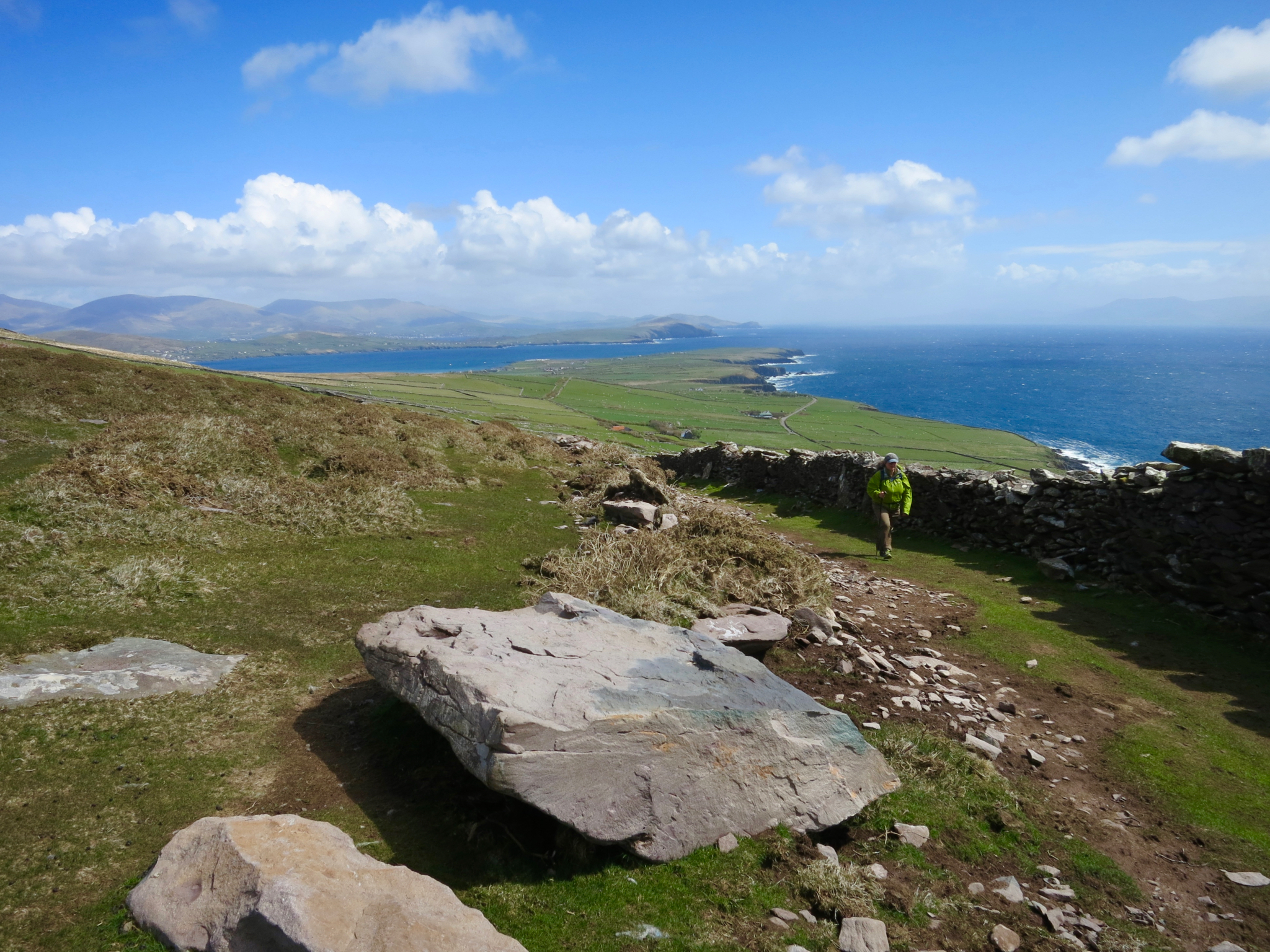
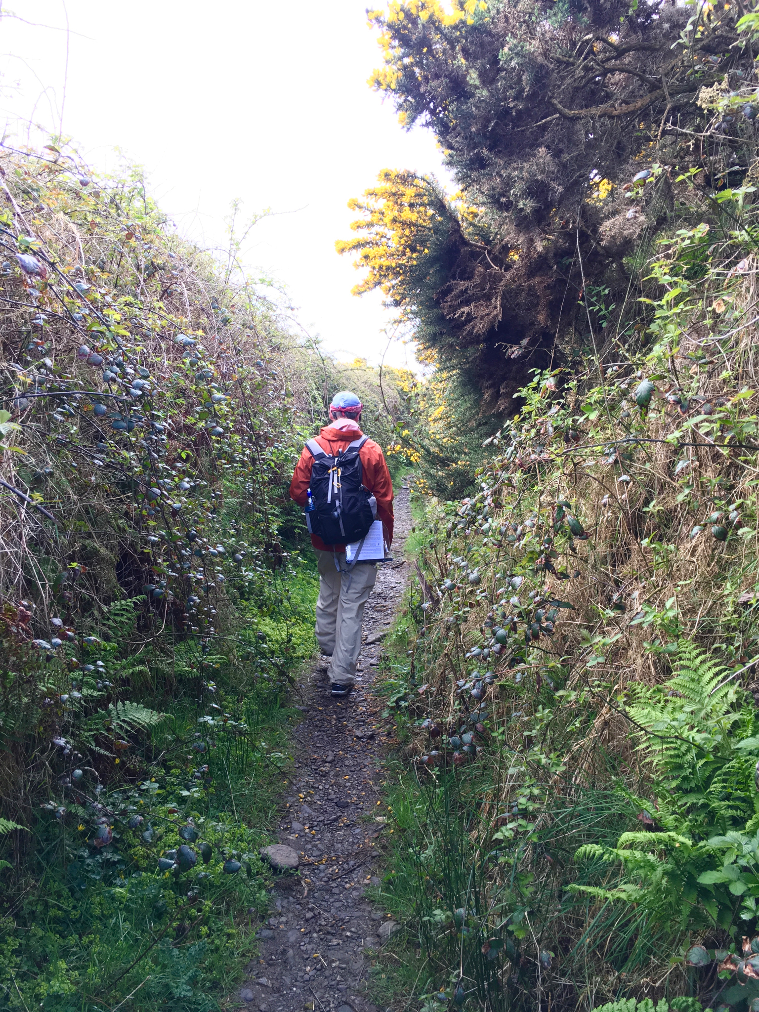
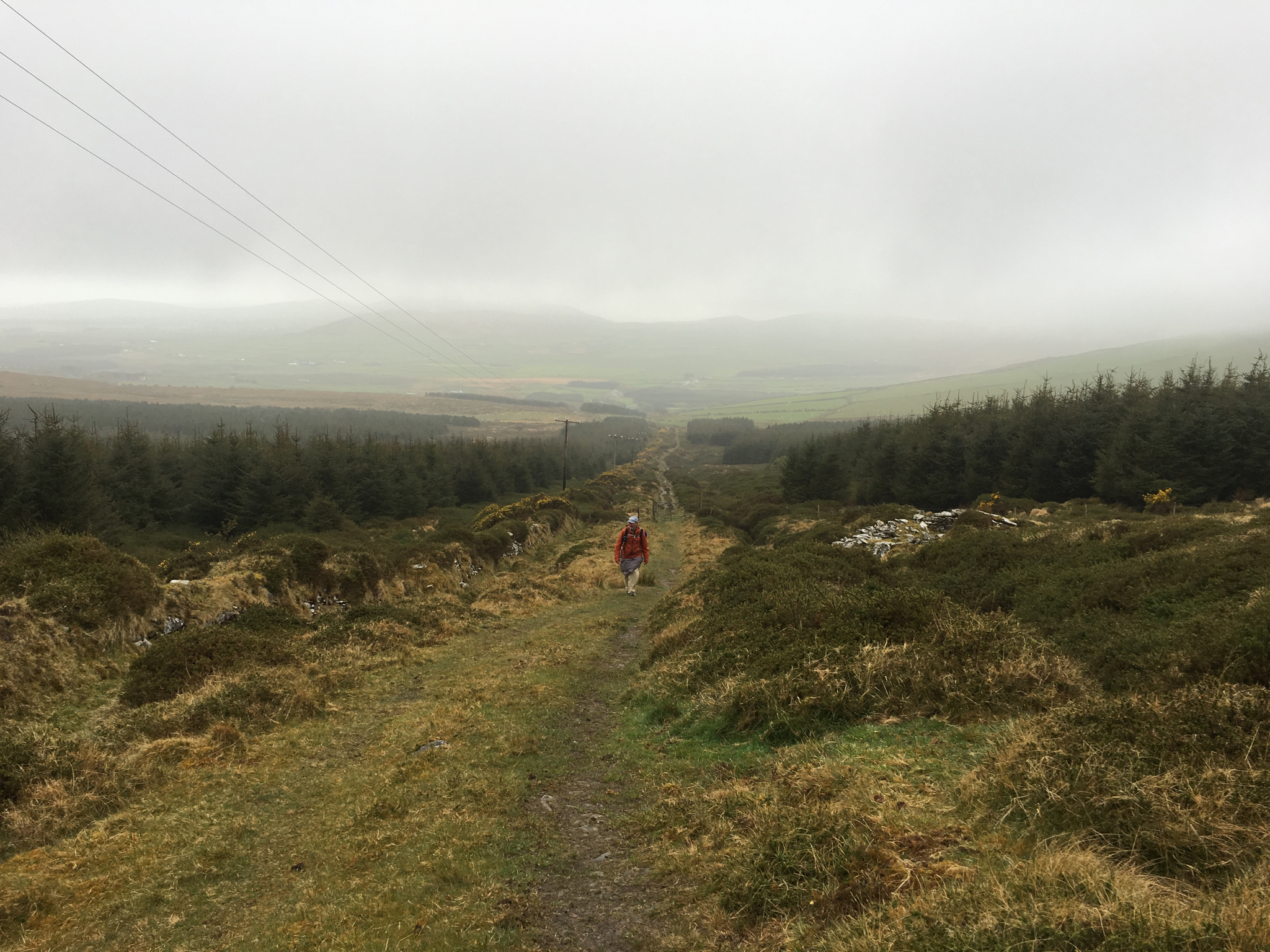
Day 1 – Annascaul to Dingle, 24km
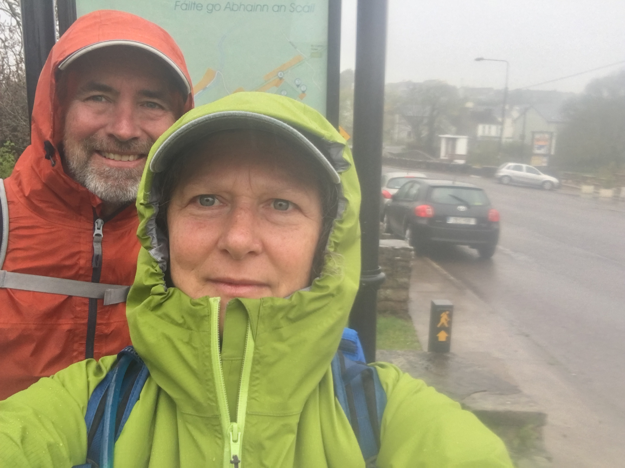

First morning, leaving Annascaul. We dined the night before at the South Pole Inn, established by local boy Tom Crean who was one of Shackleton’s most trusted lieutenants. Did I mention that it rains a lot in Ireland? We woke to a steady drizzle and temps in the upper 40s. So much for our luxury hike. Of course there was nothing for it but to put on our rain gear and start walking.
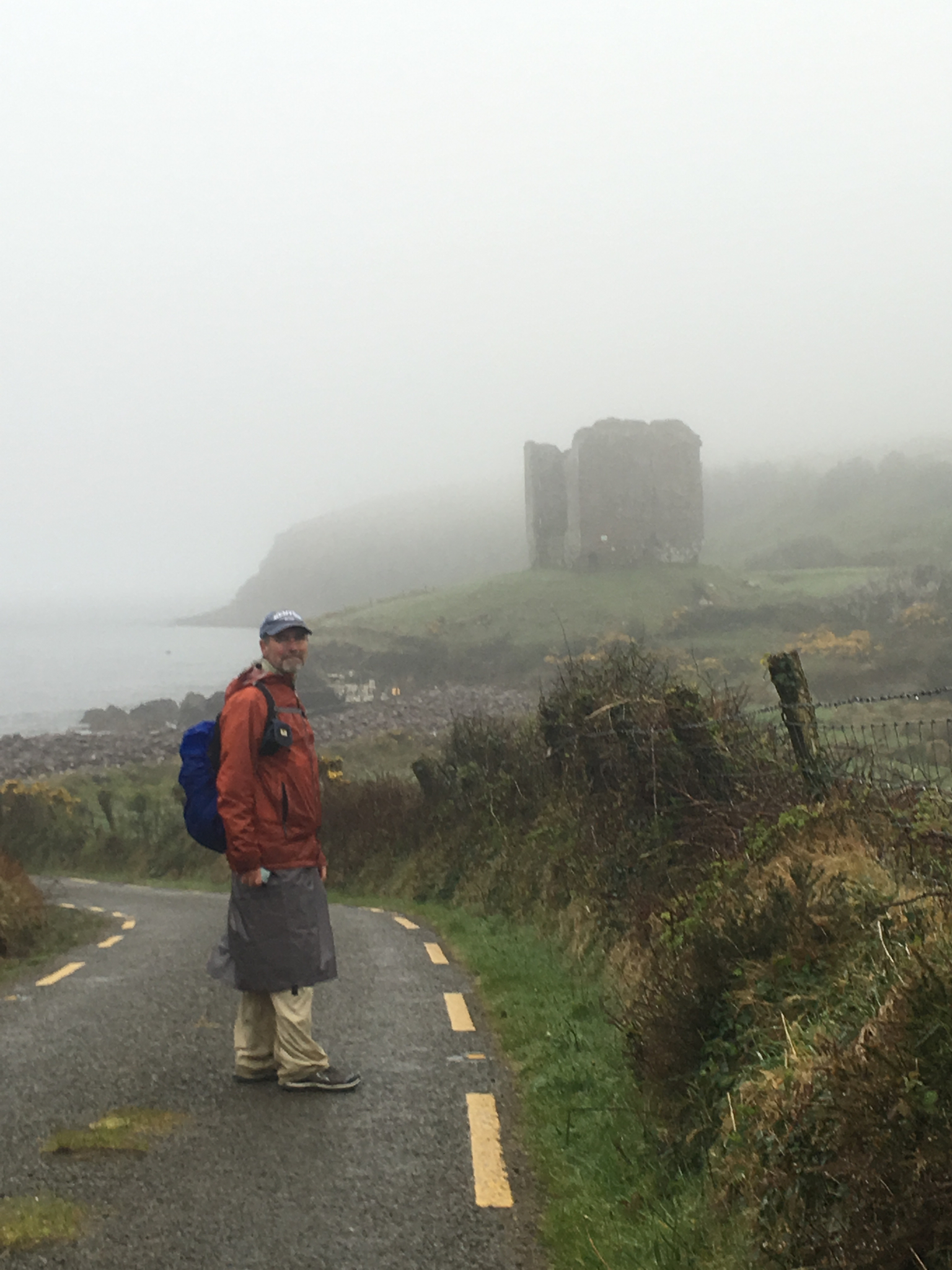
By “rain gear” I include my brand new rain skirt, er, kilt. It proved to be a very comfortable and effective piece of gear. That’s Castle Minard looming in the background, which once guarded the southern stretches of Dingle Bay. It came to its end with Cromwell’s invasion of Ireland around 1650. According to its plaque, his men blew up the castle, slaughtered its defenders and laid waste to the countryside. This sad and brutal story is repeated on the plaques of just about every building in Ireland remaining from that time. And the Irish are still pretty angry about it.
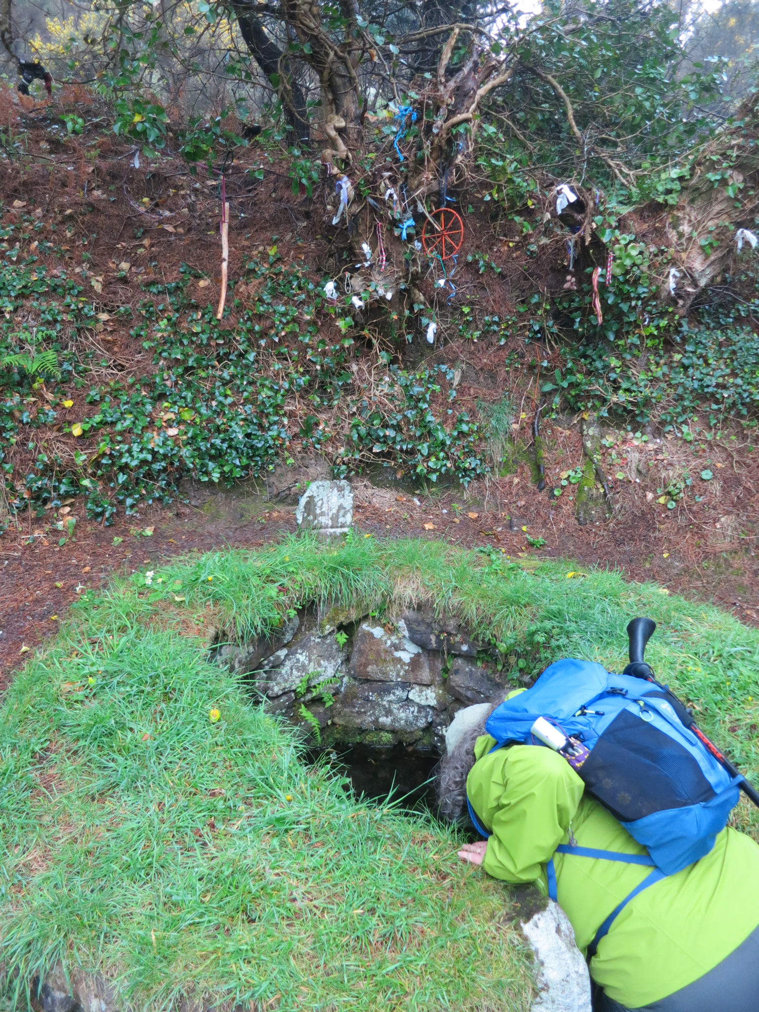
We would have missed the holy well, but a local suggested we hike a couple hundred yards down a side trail to check it out. He also told us that its horseshoe shape reveals its pre-Christian origin – the horseshoe was a symbol of the path of the sun from dawn to dusk. The Irish don’t much like the English, but they are incredibly friendly and helpful to everyone else, always ready to relate a bit of local history. The rags tied on to the trees behind the well represent disease and sickness – when they have rotted away (which doesn’t take long in the damp climate) – the disease will be gone as well.
The pre-Christian Ogham stones are engraved with crude gouges that spell out short messages – usually setting the boundary of a clan’s claimed territory.
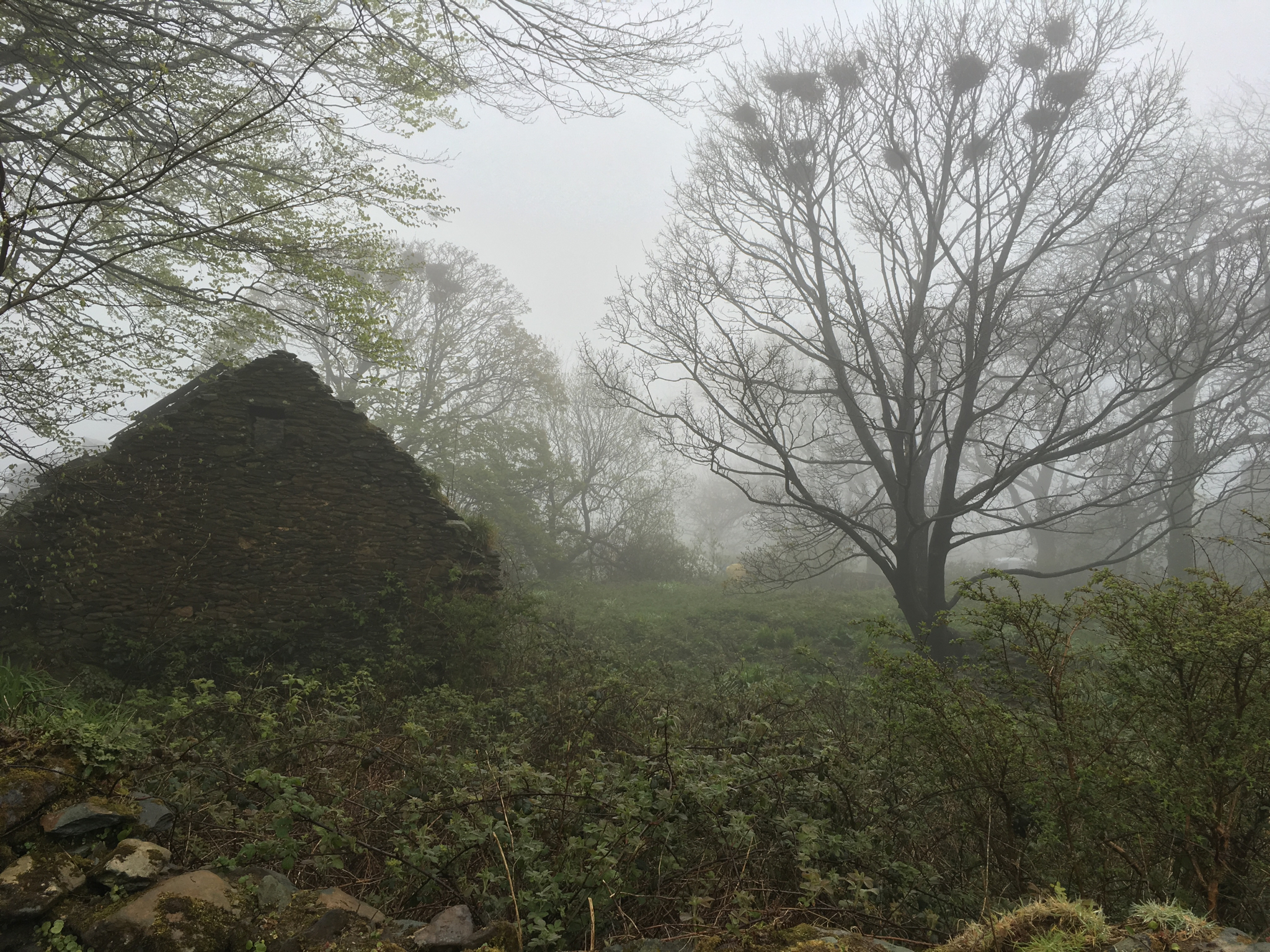
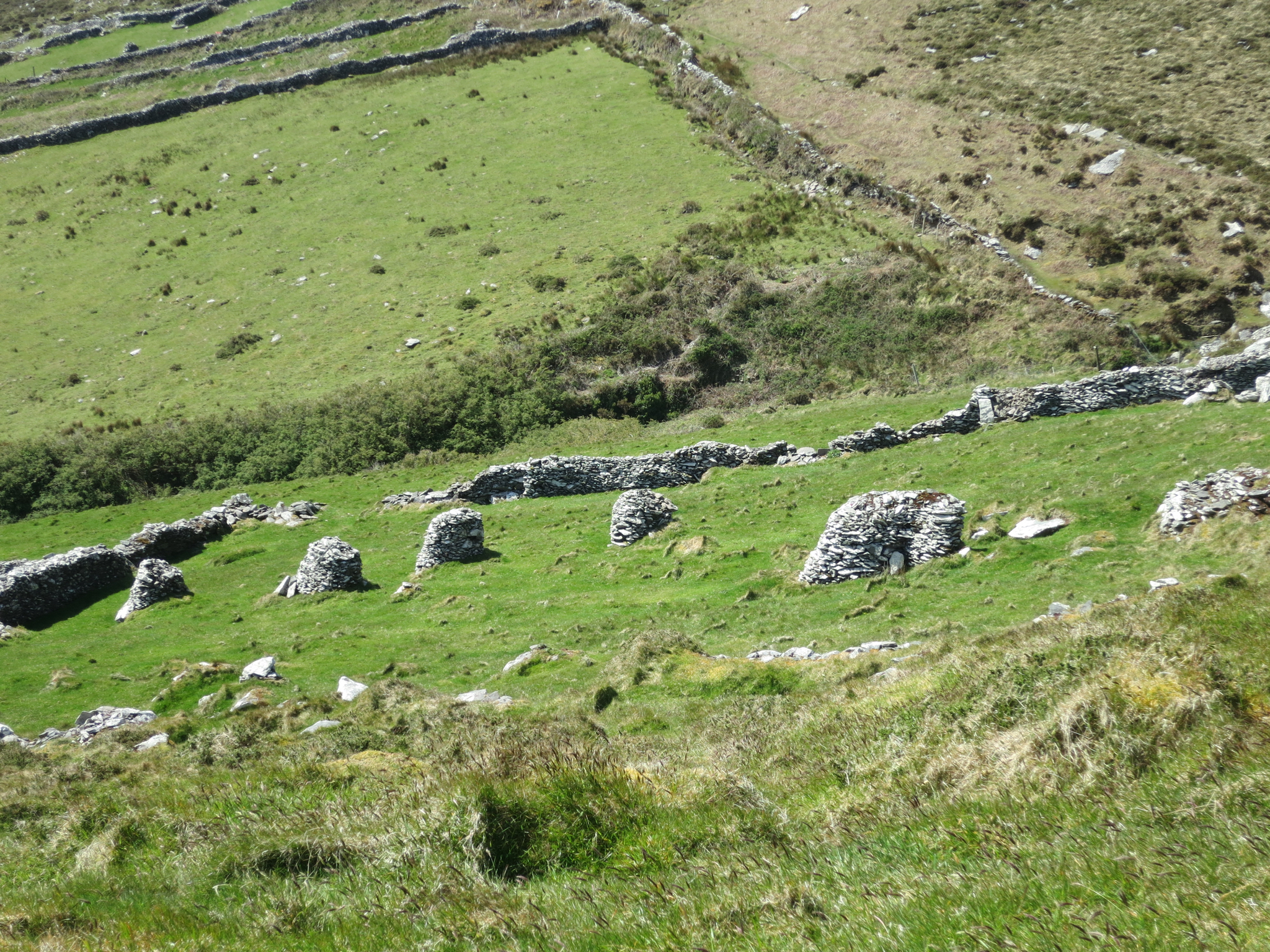
Although Ireland is now a prosperous country with tidy villages of well-kept houses, it still suffers the echoes of its many catastrophes. Before the great famine of the 1840s the population was over 8 million. By 1950 it was down to 4 million, and has rebounded only to 6 million since then. There are many derelict and abandoned houses all throughout the countryside, and these can look pretty creepy in the mist and drizzle.
Heading down the road into Dingle Town…
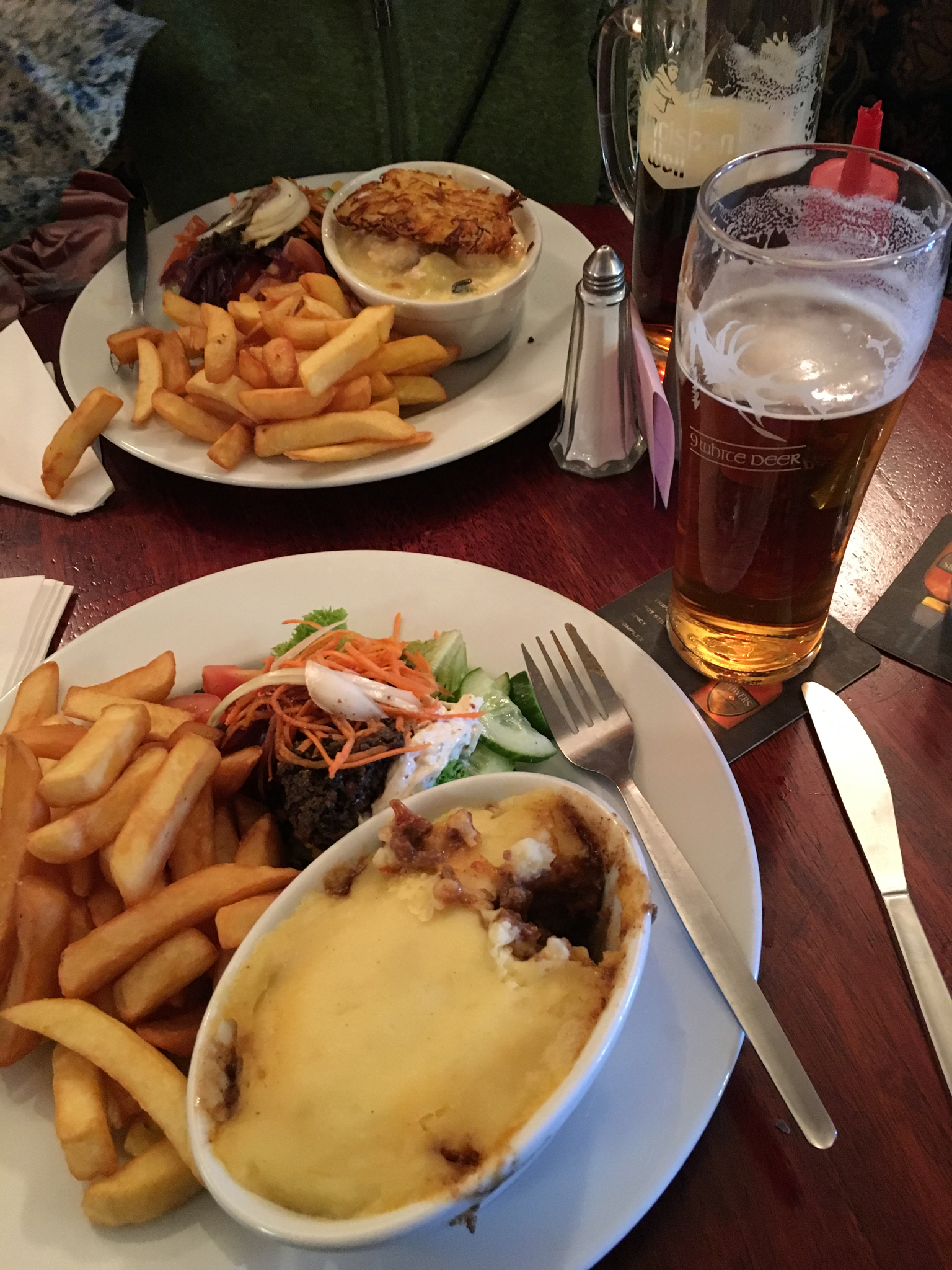
…where dry clothes and a warm pub awaited us, complete with shepherd’s pie, chips and of course a pint. There are some craft beers available in Ireland, mostly in the larger towns like Galway and Dublin. But generally they are not that great. The state of the art in Irish craft beer is probably 10 years behind most of the US, 20 years behind Colorado. Their traditional beers, however, are still pretty good, and there is no risk of encountering a beer famine in Ireland. Contrary to legend, Guinness tastes exactly the same in Ireland as it does in the US.
Irish whisky, on the other hand, is highly underappreciated especially in relation to Scotch whisky. I grew to be quite fond of having a shot with my pint, and Green Spot was a particular favorite that I can recommend.
Day 2, Dingle to Dunquin, 21km

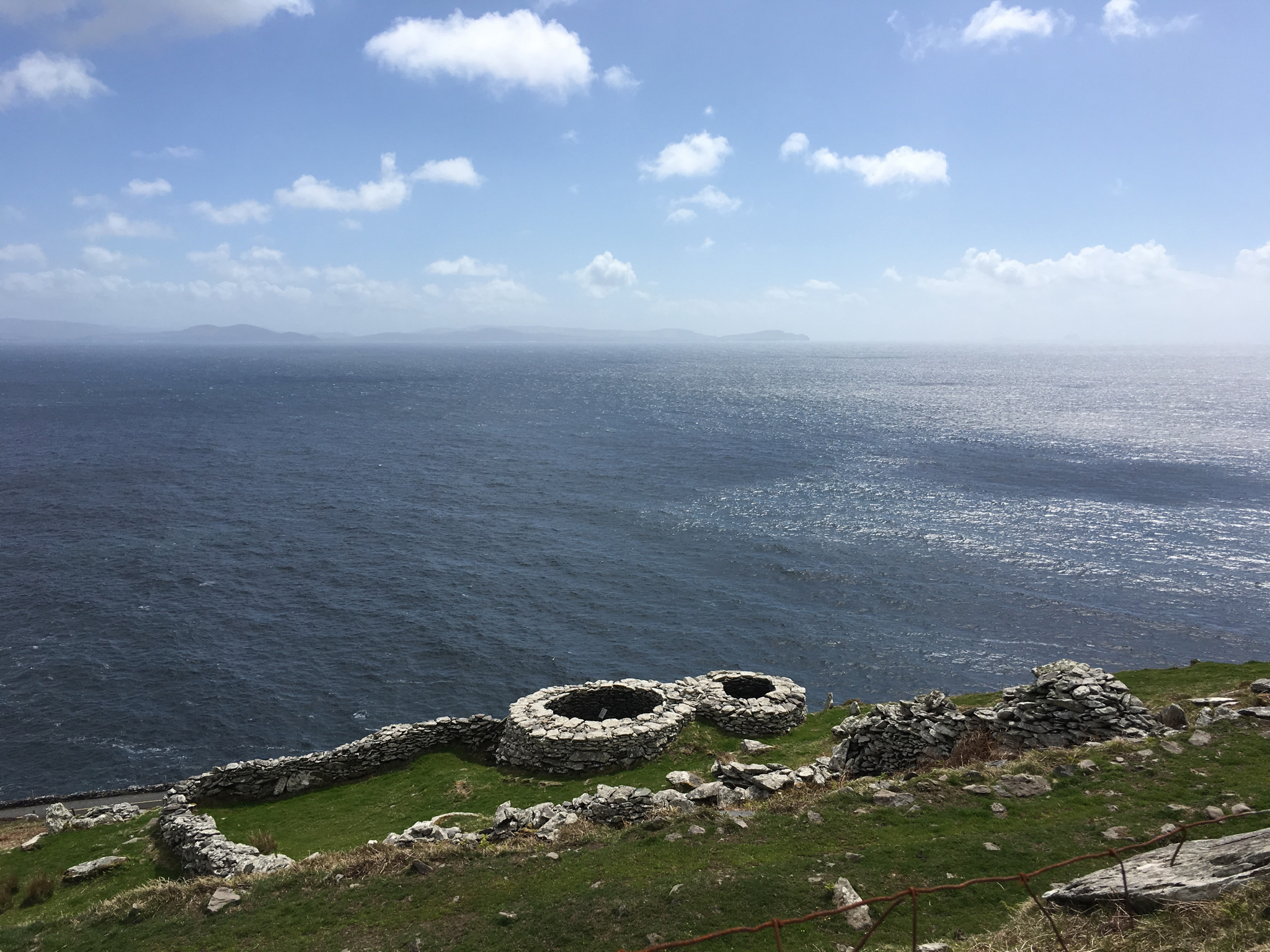
Personally I doubt that they were primarily forts – no more than a dozen people could fit inside, and then they would be pretty well trapped. More likely they were used as kivas or storage buildings. But what do I know.
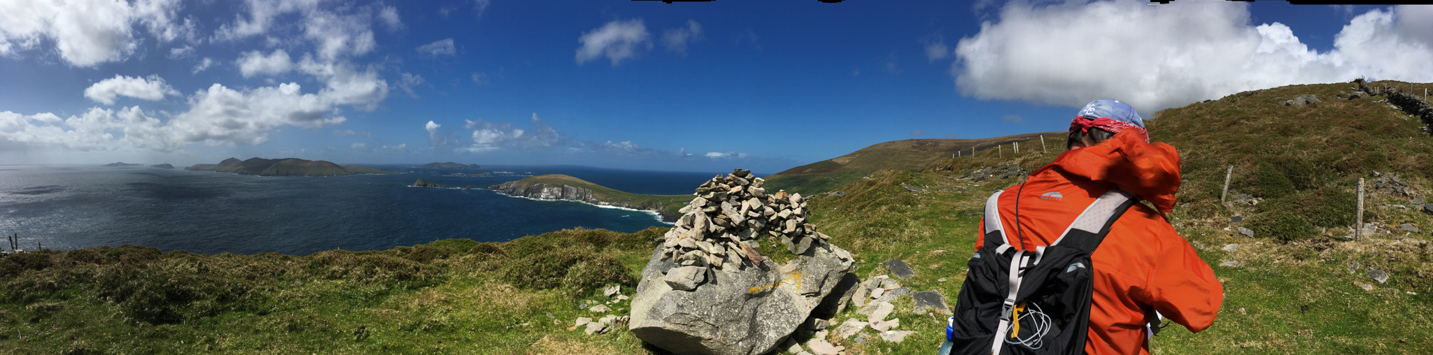
The Blaskets were home to some of the most isolated and traditional Irish fishing villages until they were abandoned in the 1950s.
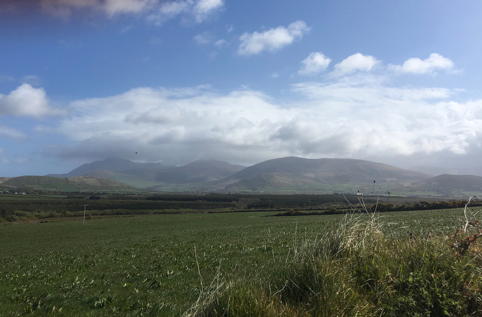
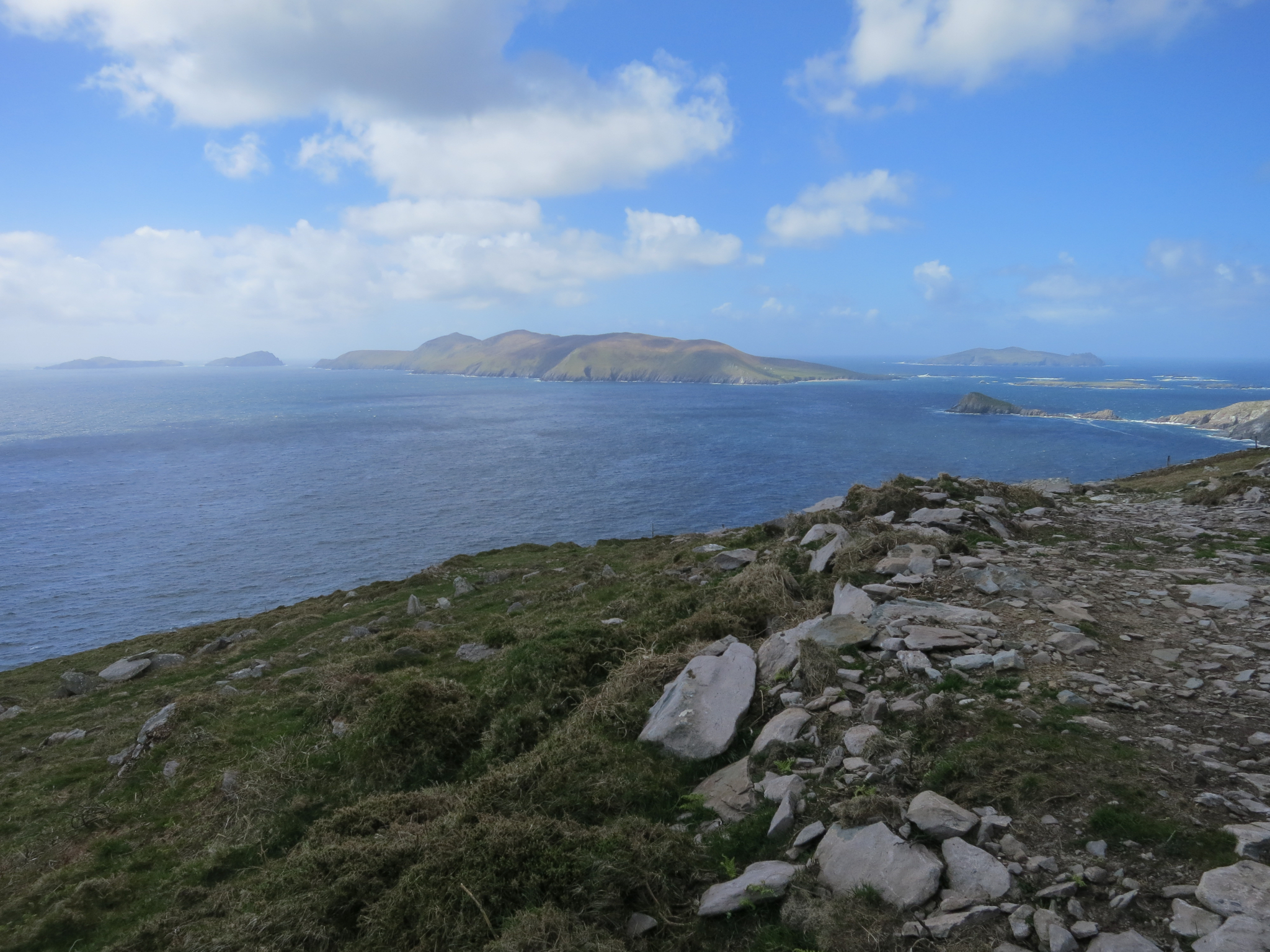
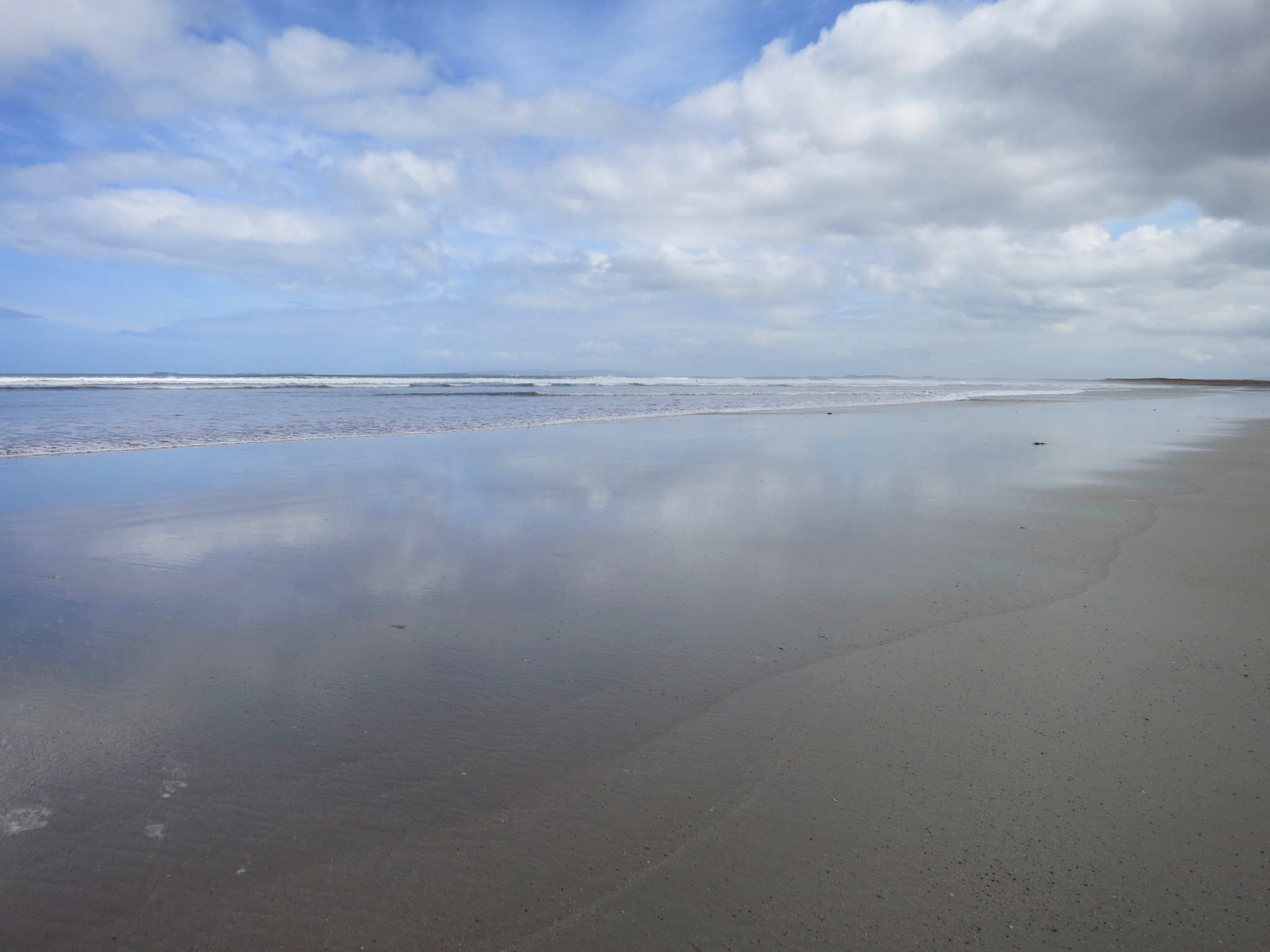
Day 3, Dunquin to Cuas, 28km
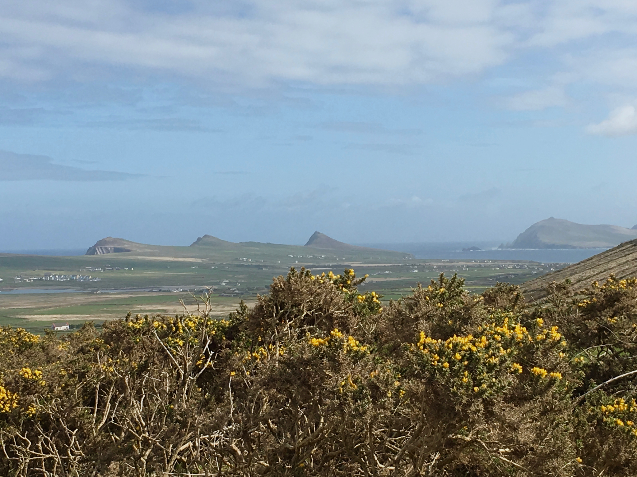
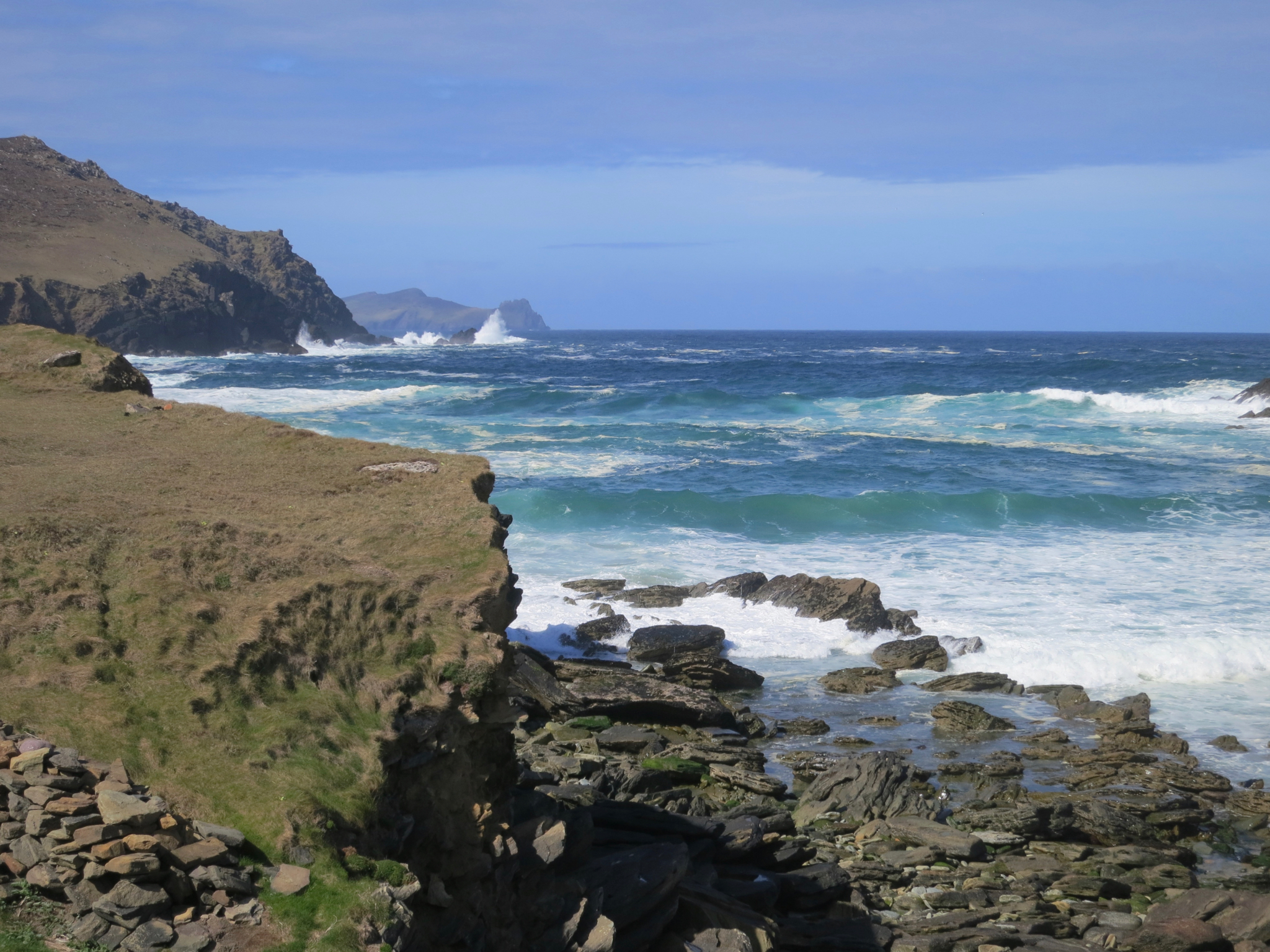
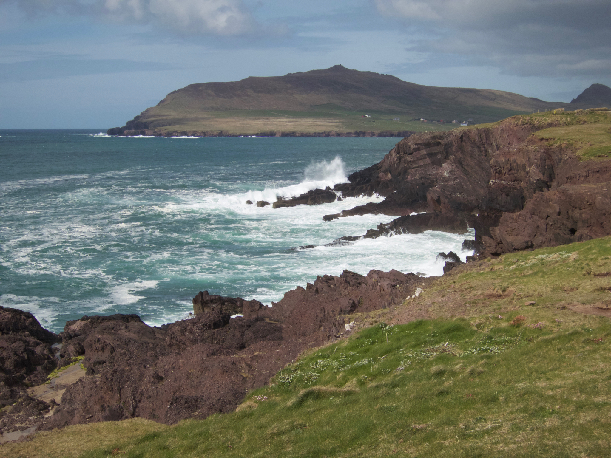
We neared the north edge of the peninsula, and headed east toward Ballydavid Bay.
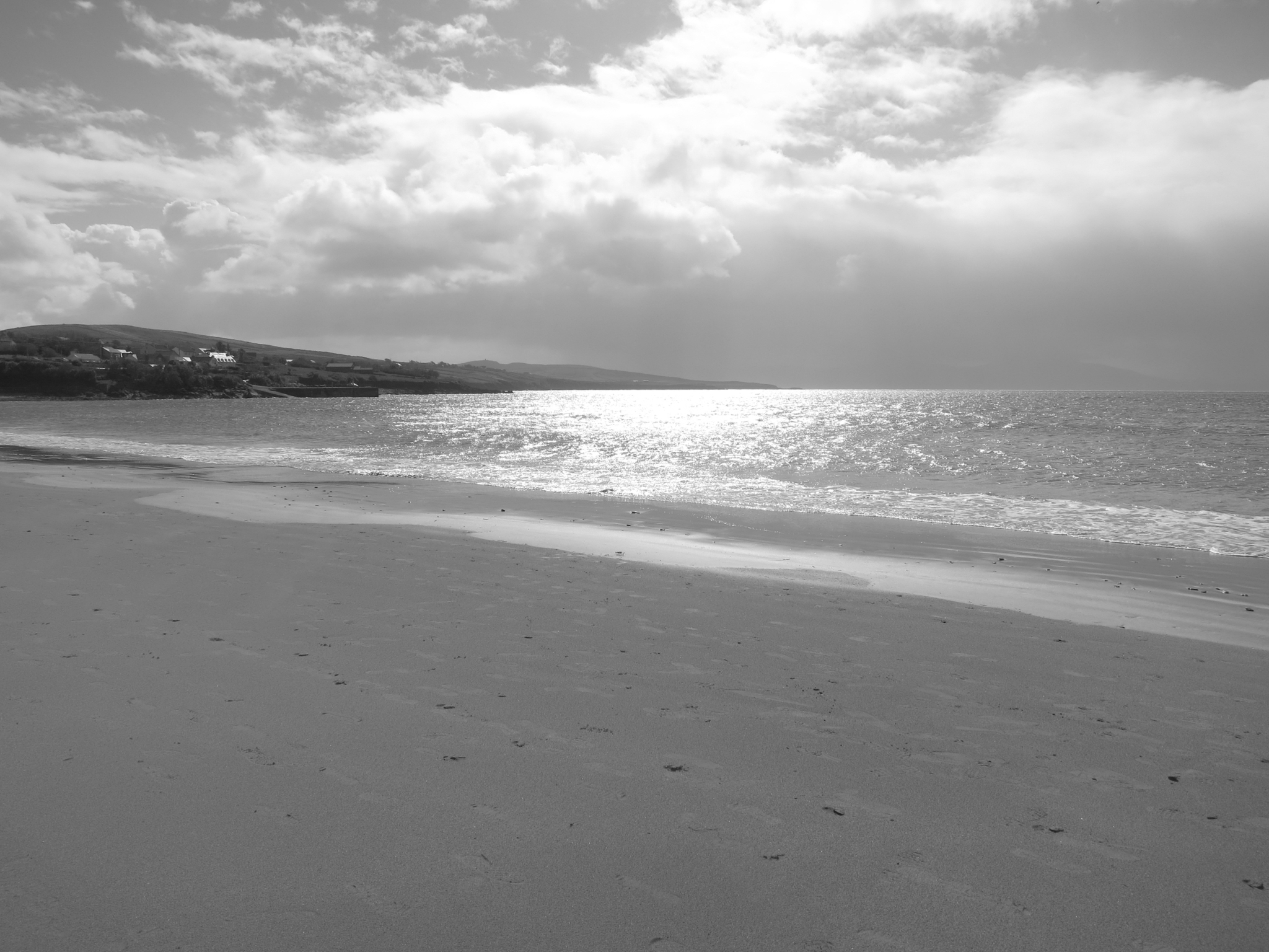
The bay was a good deal calmer than the western coast, but no less scenic
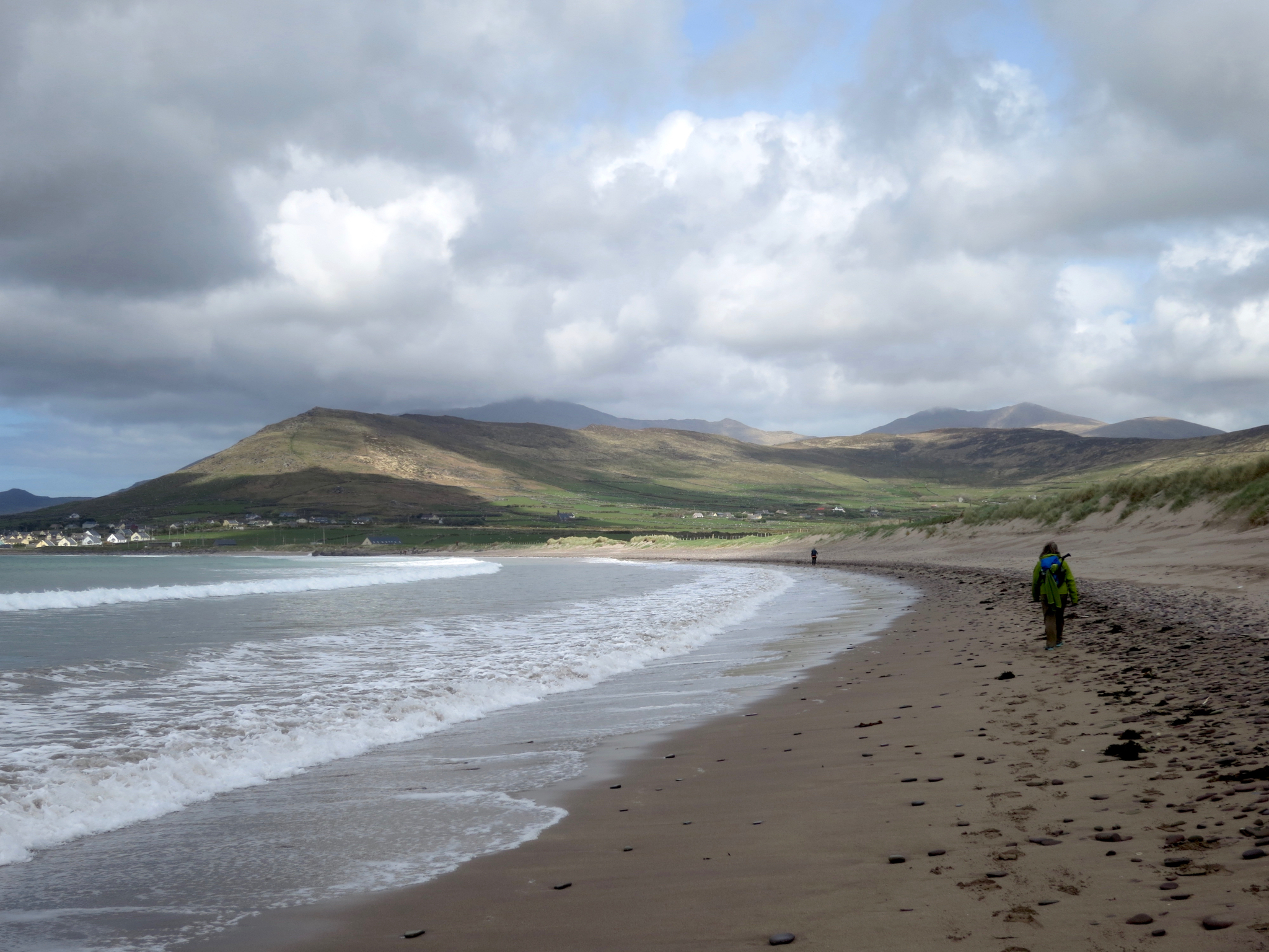
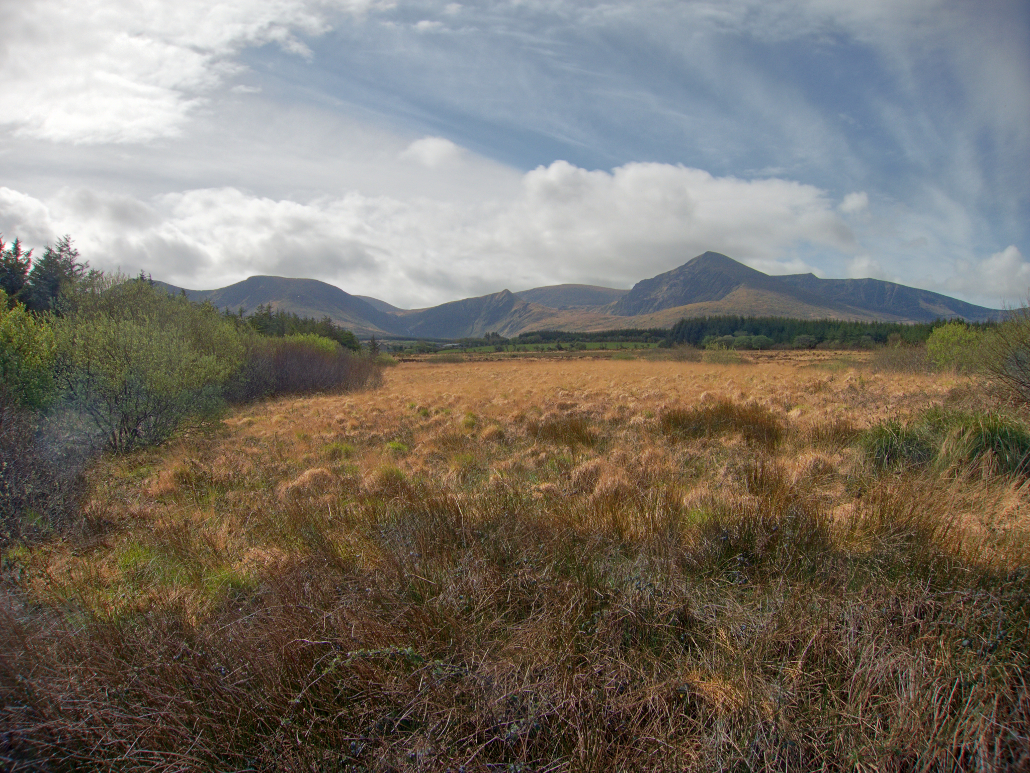
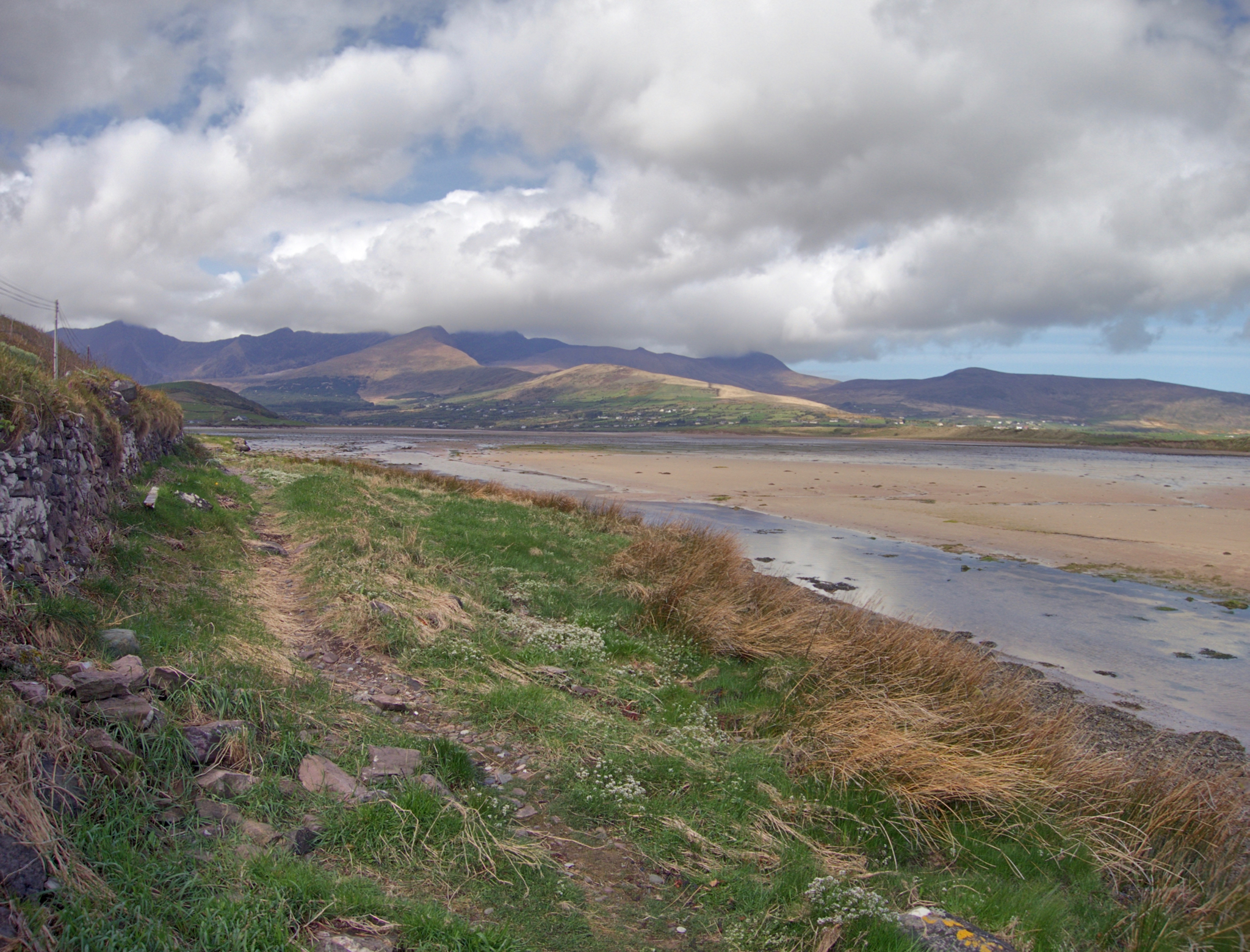
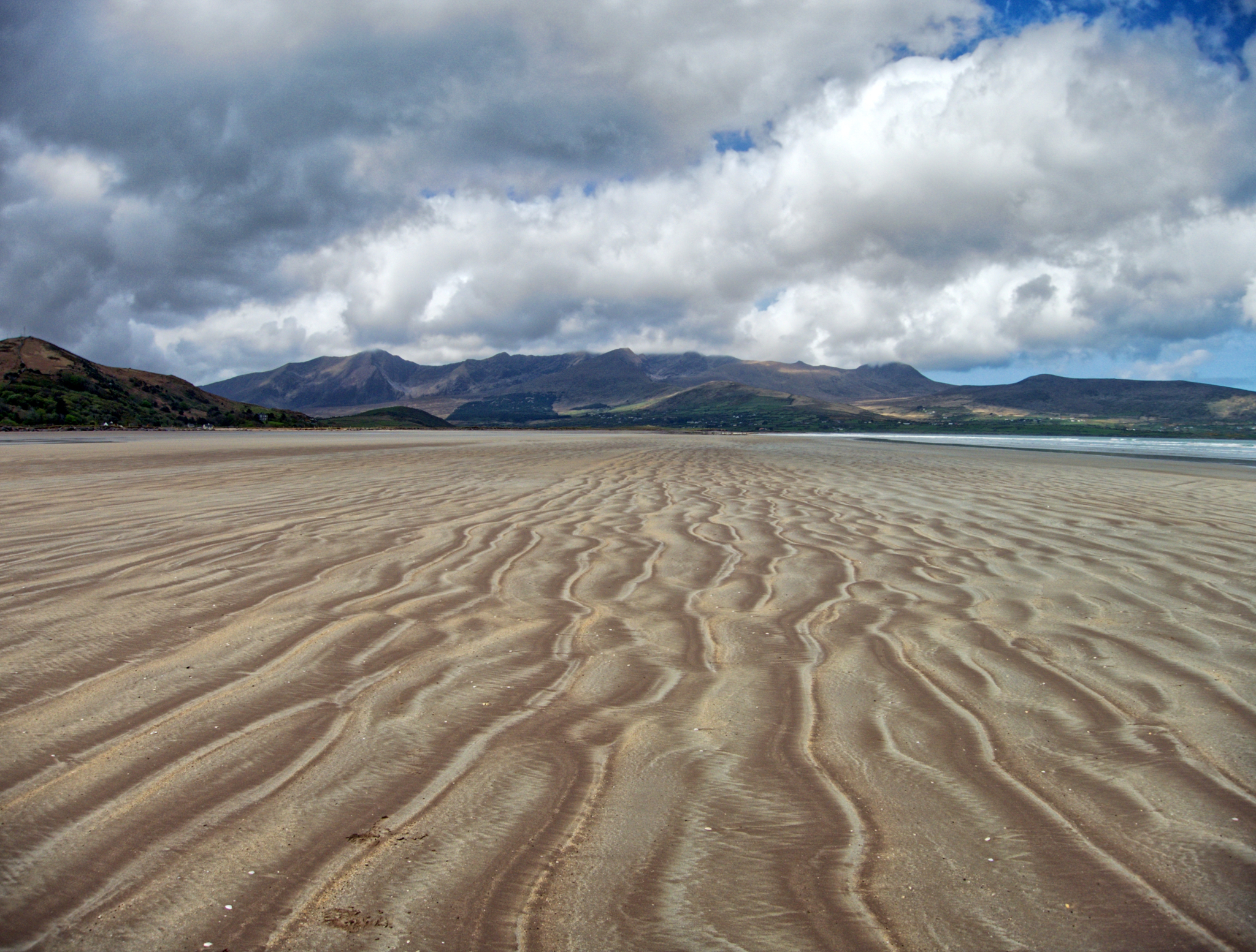
We walked for miles along the beach. Fortunately the tide was mostly out, and we had a firm, well-packed sand footing that made the walking easy. Mount Brandon and Brandon Peak, the high points of Ireland at about 900 m, are in the background. St. Brandon is said to have set off to N America in his curragh from this area in the 6th century.
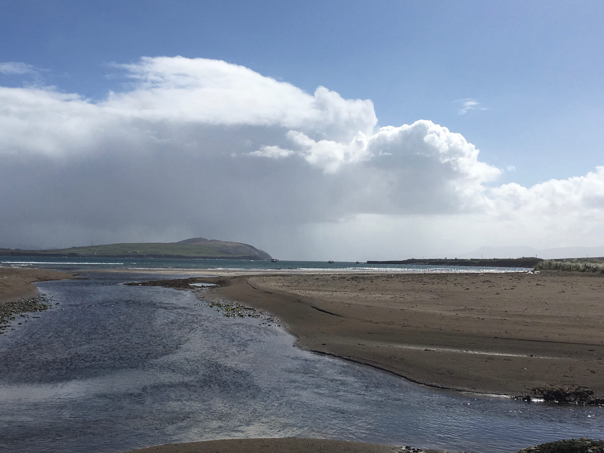
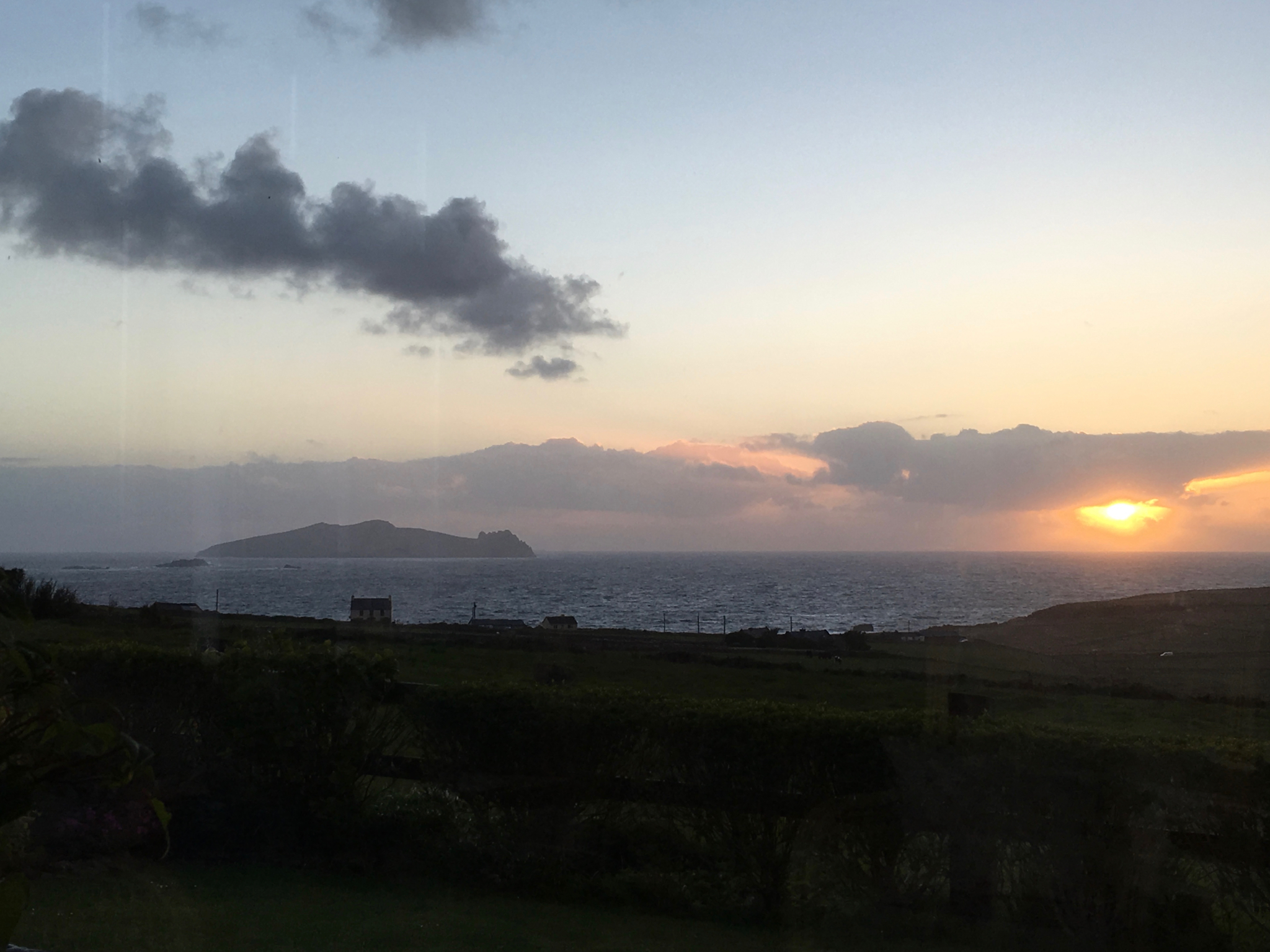
Approaching Brandon Head at the inlet to the bay
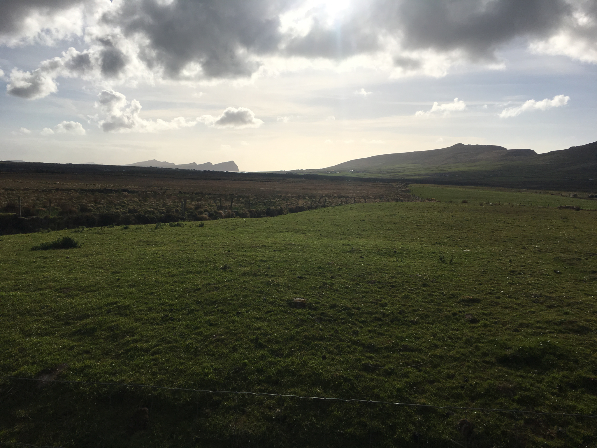
A last look back at the Three Sisters as we crossed the fields surrounding our inn at An Bothar.
Day 4, Cuas to Cloghane, 10km
The Dingle Way proper skirts the sides of Mt Brandon in a 600m climb that is totally exposed and follows a steep and unimproved sheep trail. In the event of bad weather, our guidebook advised taking an inland route along an abandoned road that climbs only 300m and is not exposed to the Atlantic. The weather was bad this morning, and our host strongly recommended the latter route and cheerfully offered to drive us the few miles to the trailhead to save us a wet boring roadwalk along the main highway.
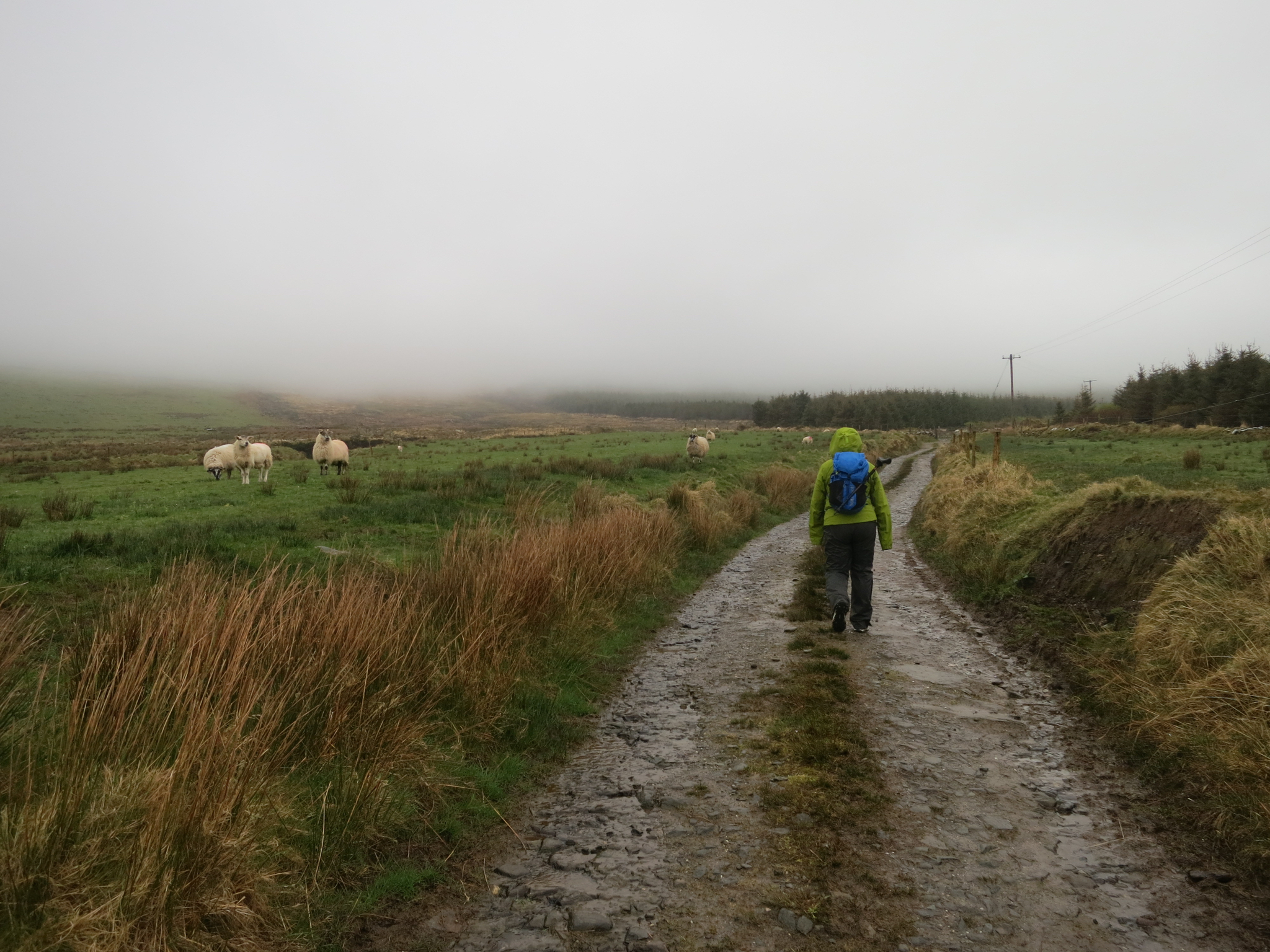
The hike was an easy climb in the drizzle through a reforestation project, one of the few places we saw wild trees in Ireland. Except that these weren’t wild trees, it was more of a tree farm.
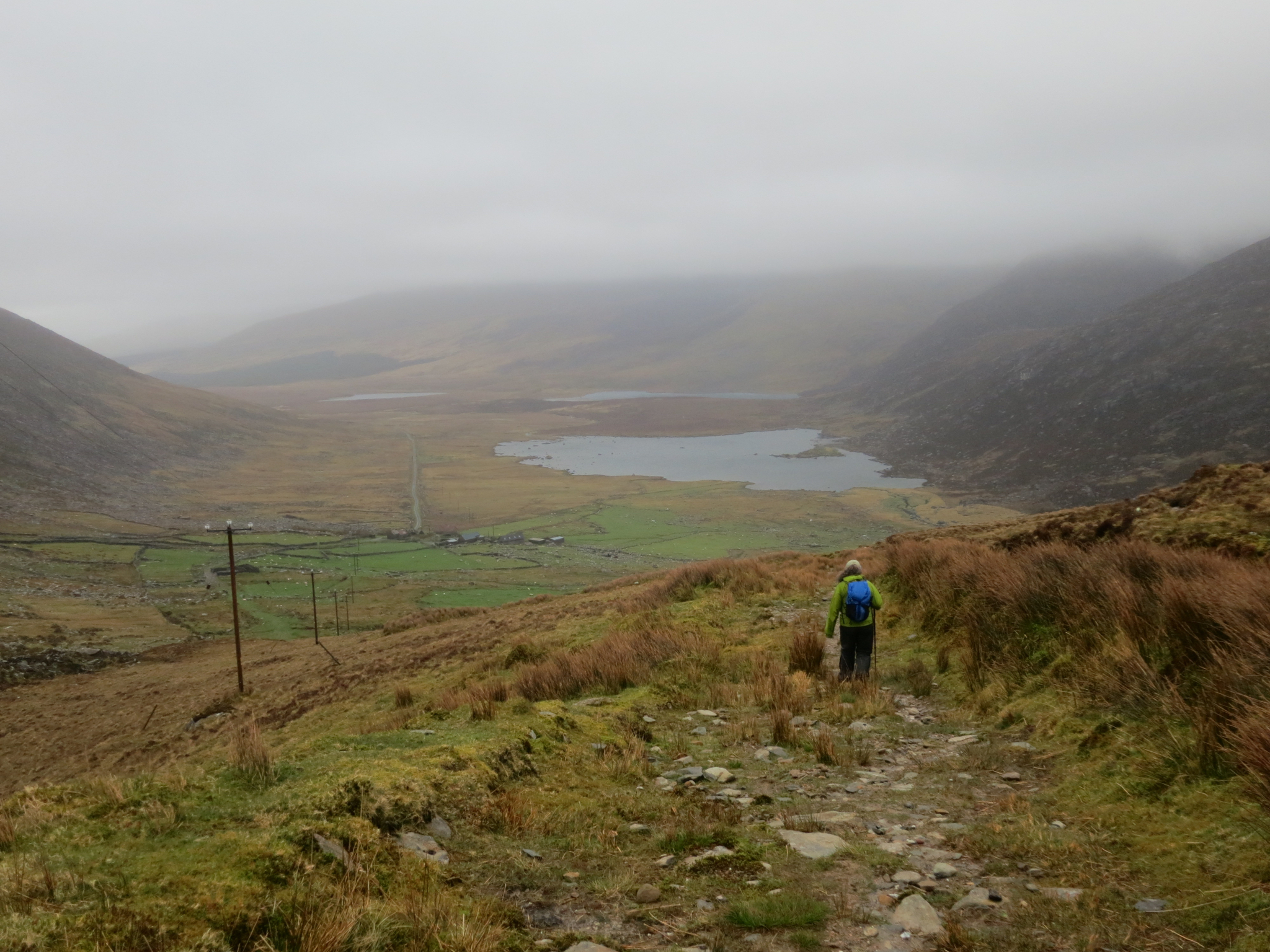
The weather held as we made the pass and started down into the glacier-carved valley below.
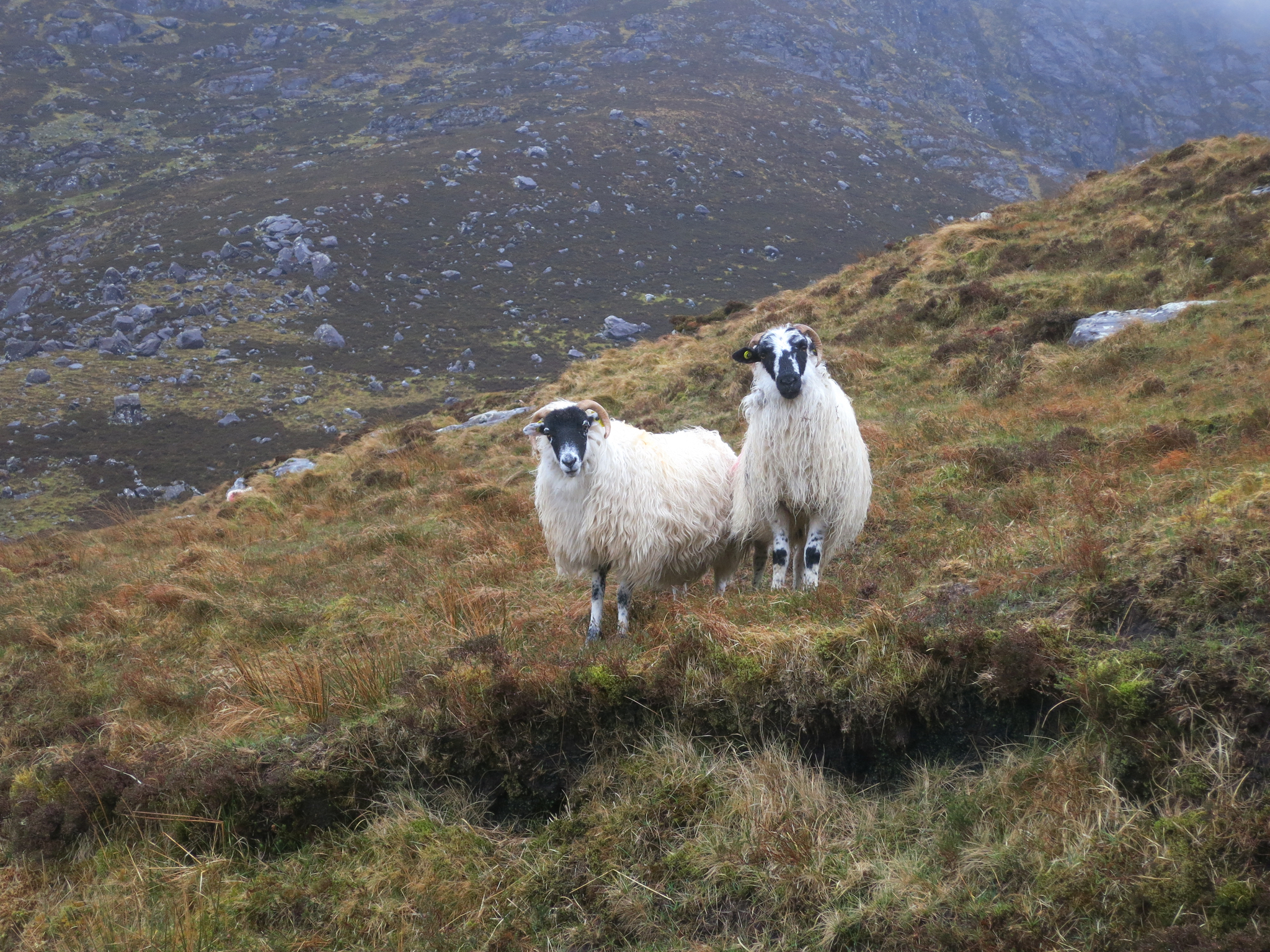
Like most of the countryside, it was deserted save a few curious inhabitants.
As soon as we made it to the valley floor, we got nailed with a true Atlantic storm – drenching rain being driven by near-gale winds. It was far too wet to bring out my camera and take pictures, although a video would have been required to capture the violence of the storm. My waterproof-breathable jacket (which of course is neither) was not up to the task of keeping me dry and I was soon soaked, except where I was protected by my silnylon rain kilt. Although I brought an umbrella it would have been useless.
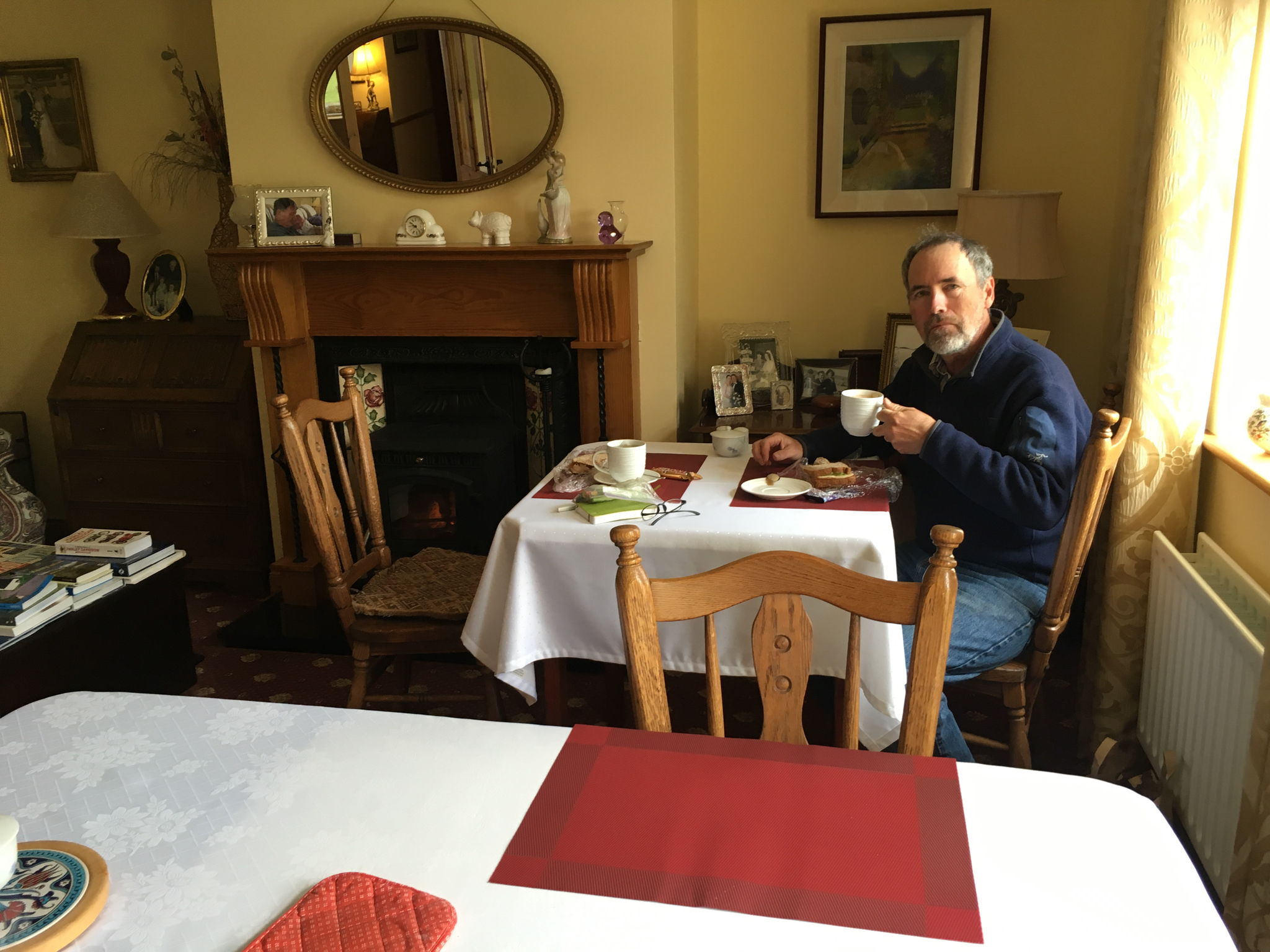
But our walk to Cloghane was not a long one, and we were soon warm and dry in our B&B. Our hosts were watching out their window for our arrival, and immediately took our soaked clothes, lit a fire in the sitting room hearth, made warm pots of tea and brought us bread and jam. They also offered to drive us down to the pub (half a kilometer away) if we were not up to walking. This hospitality was the norm everywhere we went in Ireland. The Irish may fight each other tooth and claw but they are unfailingly kind to strangers. I should mention that we were not staying in particularly high-end B&Bs, either. Typical nightly rates were 70 Euros for the both of us, about $80 USD.
We did of course go down to the pub, and made it under our own power as the weather had cleared.
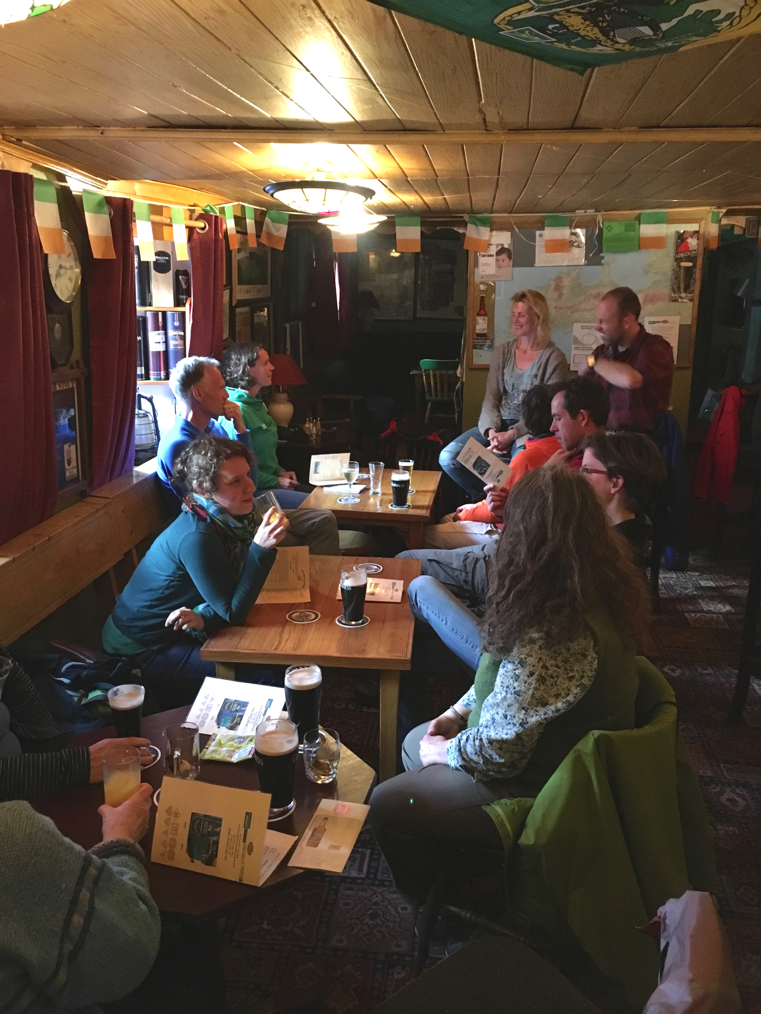
There we met up with other hikers, mostly Dutch (the first week of May is some sort of holiday in the Netherlands) whom we’d been leapfrogging with since Dingle. They had taken the exposed route over Mt Brandon and were pretty beat, having slipped and fallen several times on the wet and windy track. But nothing more than a pint was needed to restore their good cheer. They mocked my rain kilt, but after a couple more pints I had them convinced that all the elite hikers in the US, and especially in Colorado, are now wearing them and if they want to be on the cutting edge of hiking technology they should get a kilt also. I think it helped my case that Cathy’s eye-rolls were not readily apparent in the dim lighting.
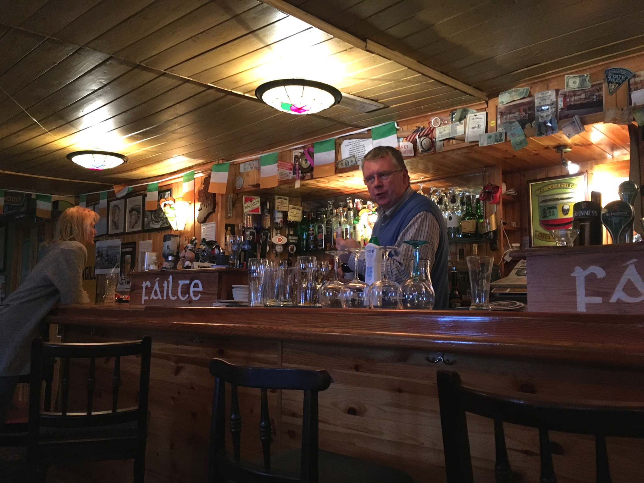
Also, we were regaled with stories by Frank, the proprietor of the pub. These were mostly disaster stories (as most Irish stories are), tales of various shipwrecks and plane crashes caused by the generally horrible local weather. Ireland was neutral in WWII, not willing to become allies of the English, and several interned German and English pilots ended up meeting local girls and settling down in the area.
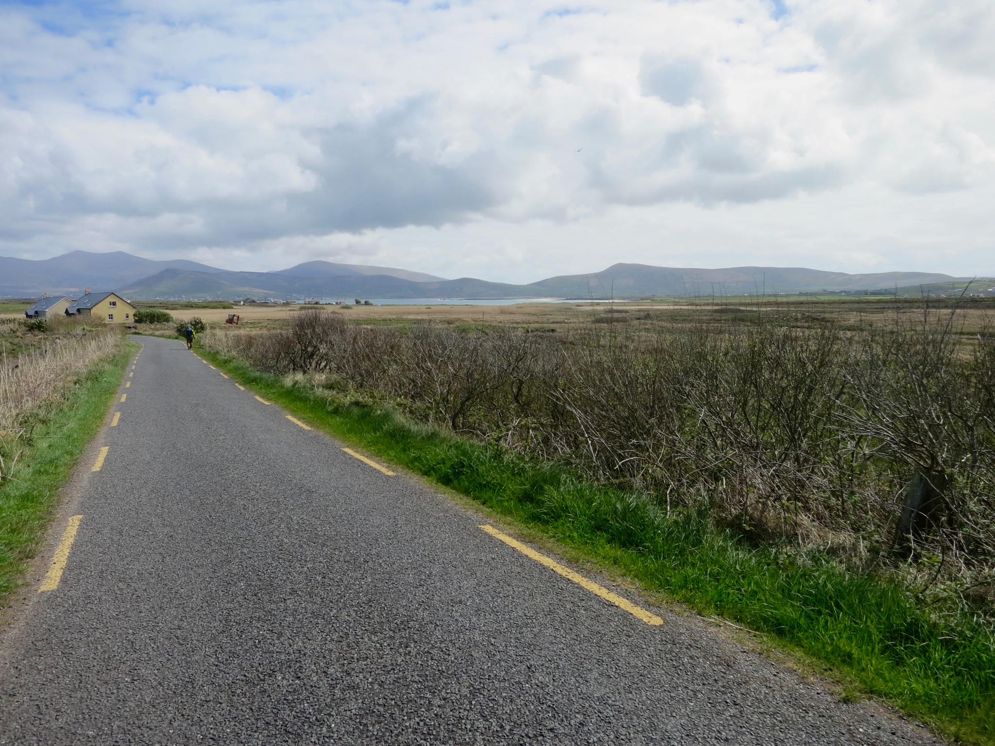
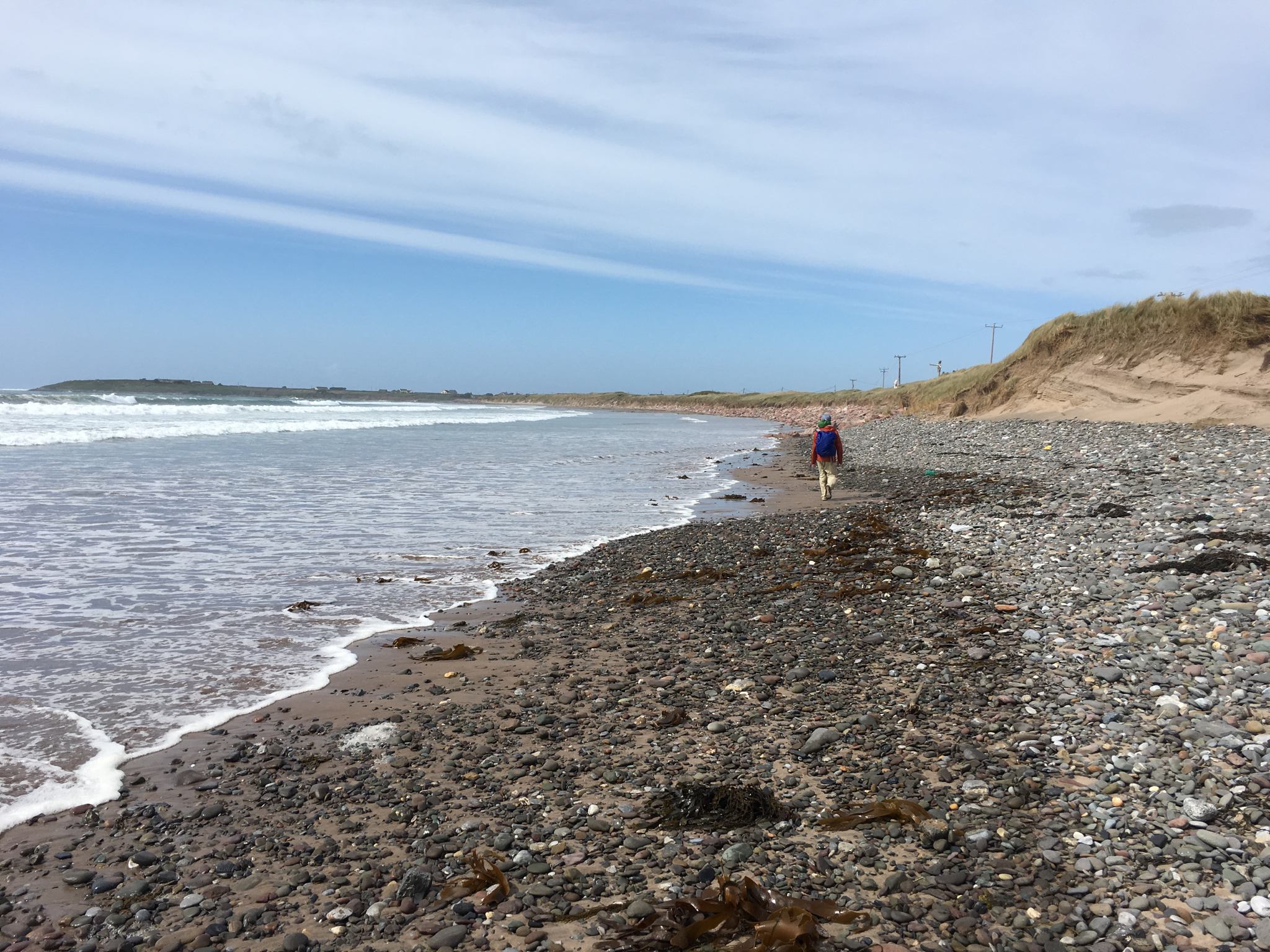
Day 5, Cloghane to Spillane’s Pier, 17km
The next day’s walk was mostly a beach walk along Brandon Bay. After a bit of early drizzle the weather began to clear and we enjoyed a pleasant and uneventful hike to Spillane’s Pier on a northern promontory of the peninsula.
Brandon Peak and Mt Brandon behind us
Looking back toward Cloghane
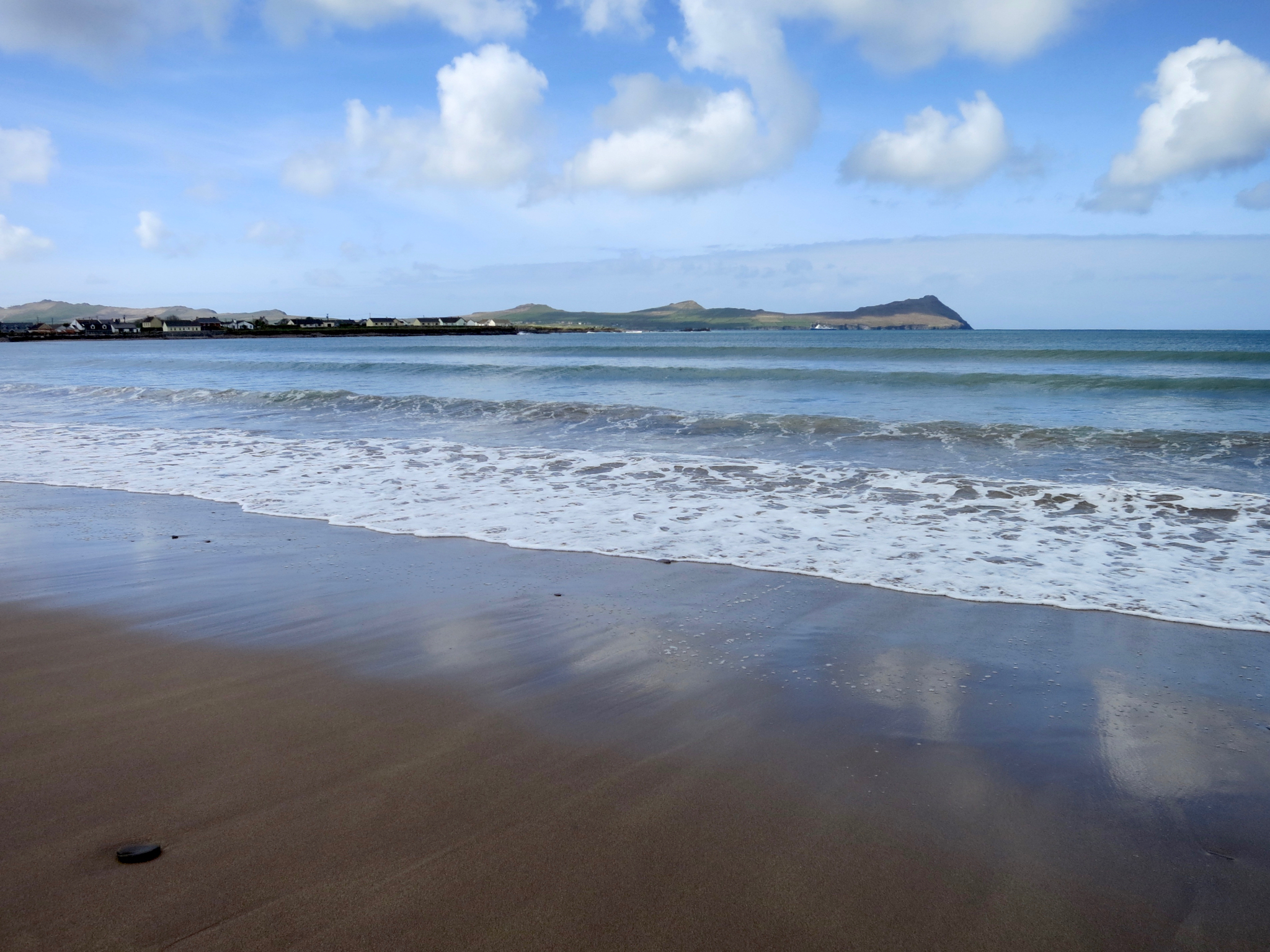
Low tide again
The east end of Brandon Bay
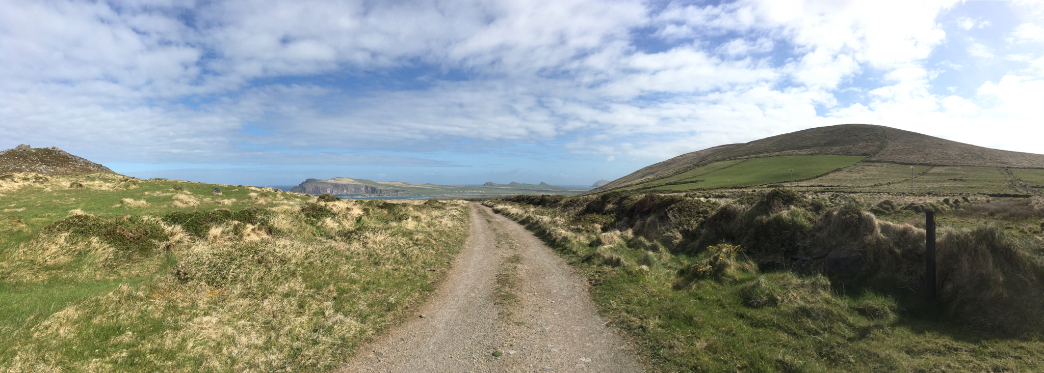
Last day, Spillane’s Pier to Camp, 20km
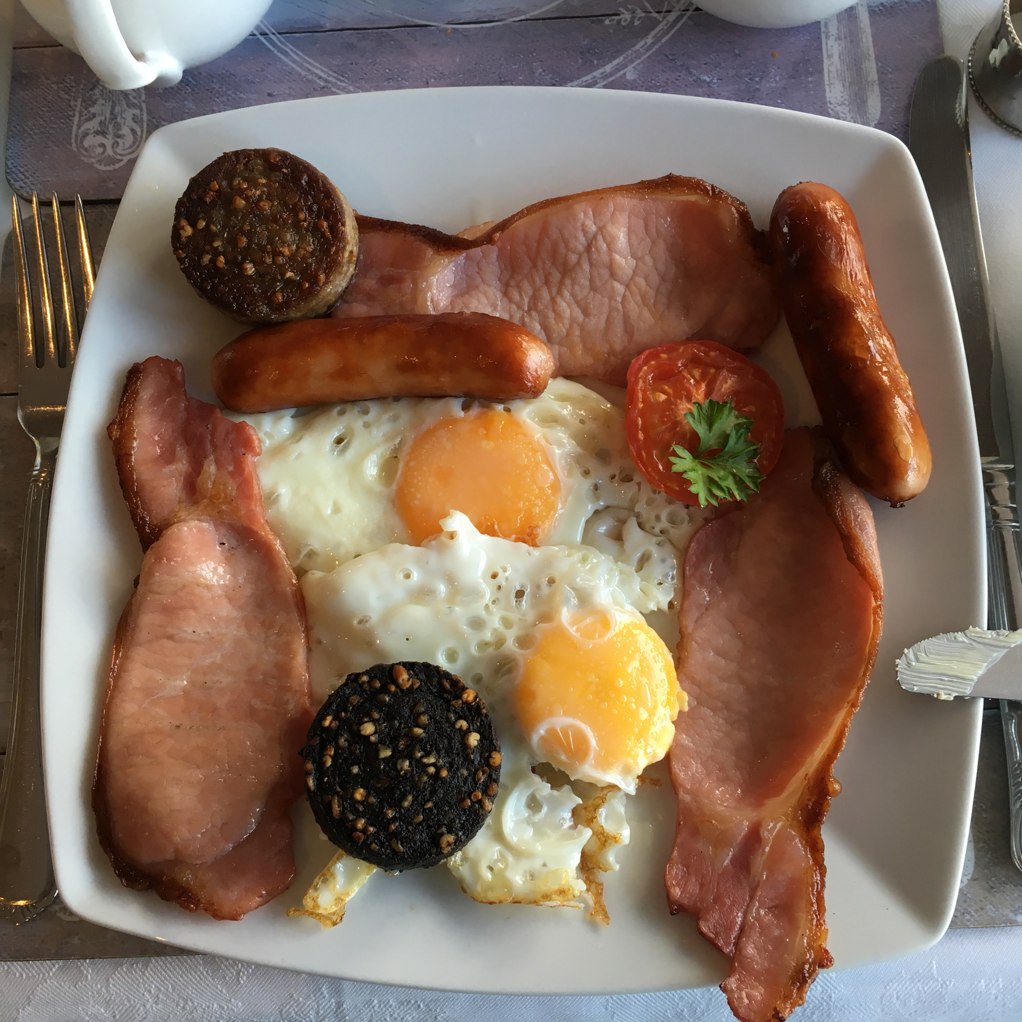
Like most mornings, we started with the Traditional Irish Breakfast: eggs, bacon (what Americans call Canadian bacon), white and black puddings (which are blood sausages) and more sausage. Plus a tiny slice of tomato and some soda bread. You’d think that the cool, moist climate would lead the Irish to be prolific growers of cool-weather crops like lettuce, peas, beets etc. But they aren’t interested. Pork, lamb, fish, eggs and potatoes are pretty much what’s on the menu wherever you go. You can get a hamburger, but you will be disappointed – apparently EU regulations require them to be cooked well-done until they are utterly dry and tasteless.
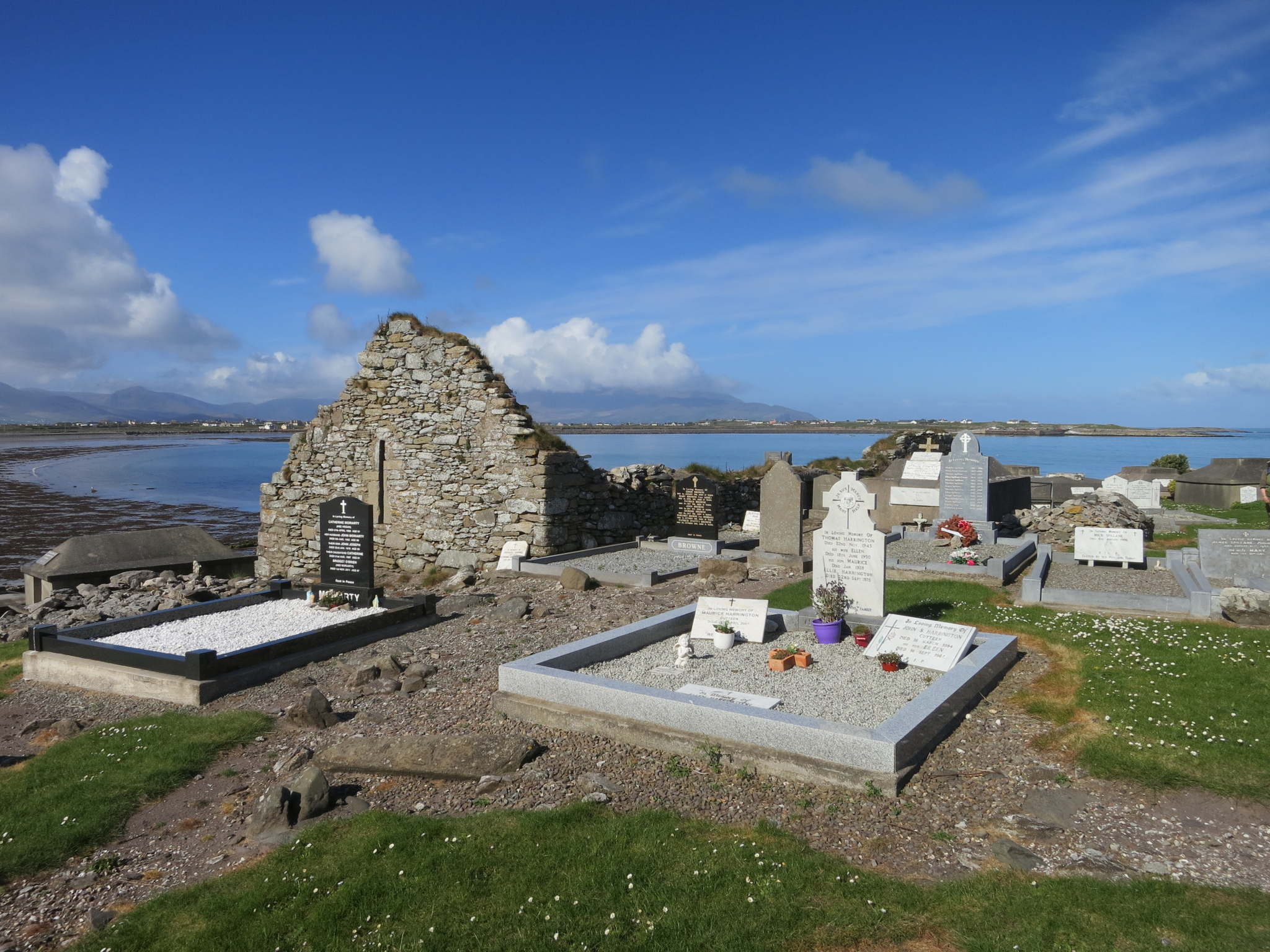
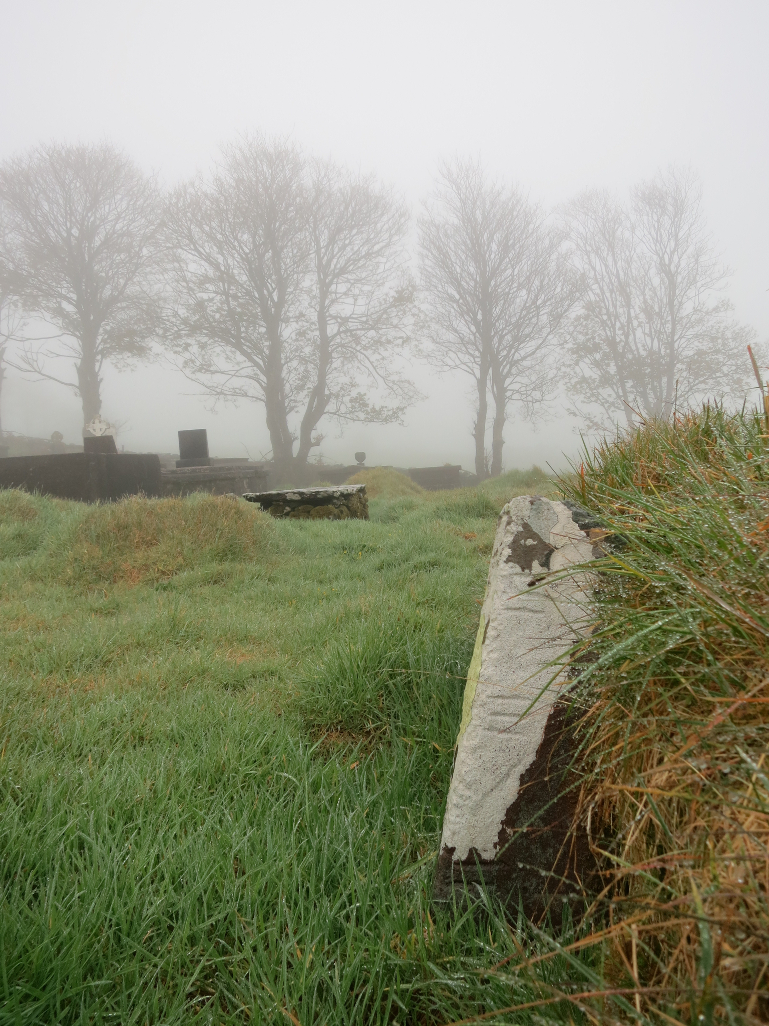
Another ruined chapel in a well-kept cemetery, and a last look back at Mt Brandon and Brandon Bay
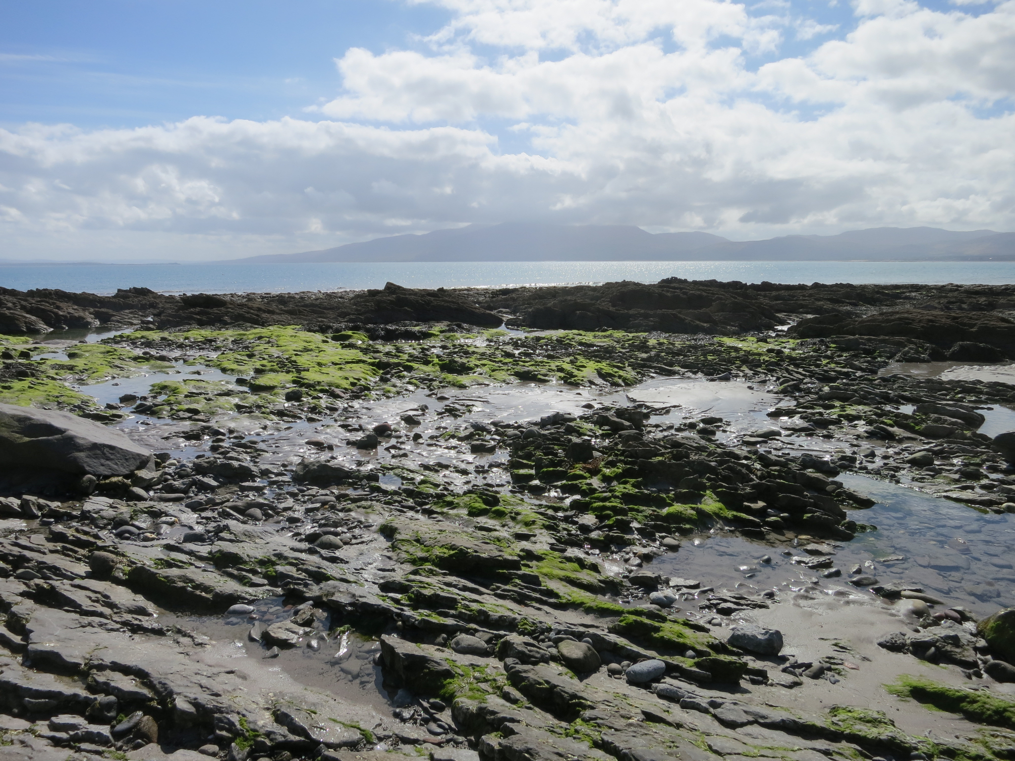
We crossed over the spit at Scraggane Point, and found some tidepools facing Tralee Bay
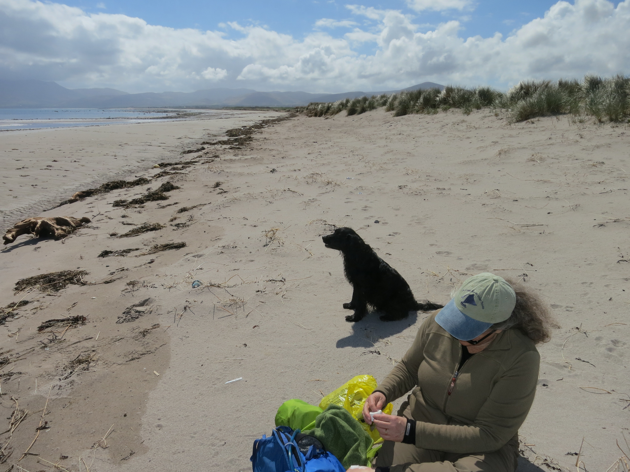
This little dog befriended us and walked nearly to Castlegregory before heading back to Scraggane’s
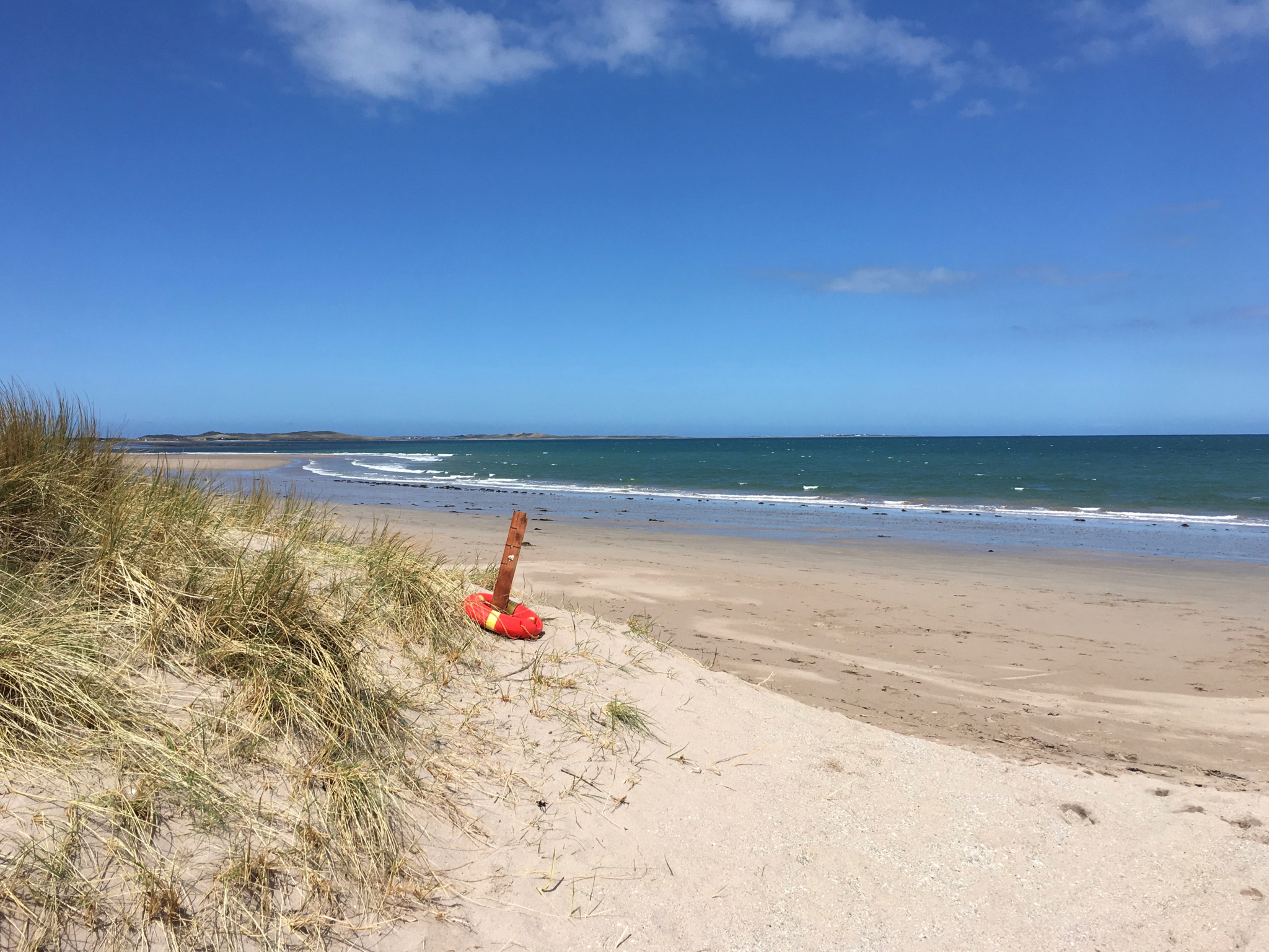
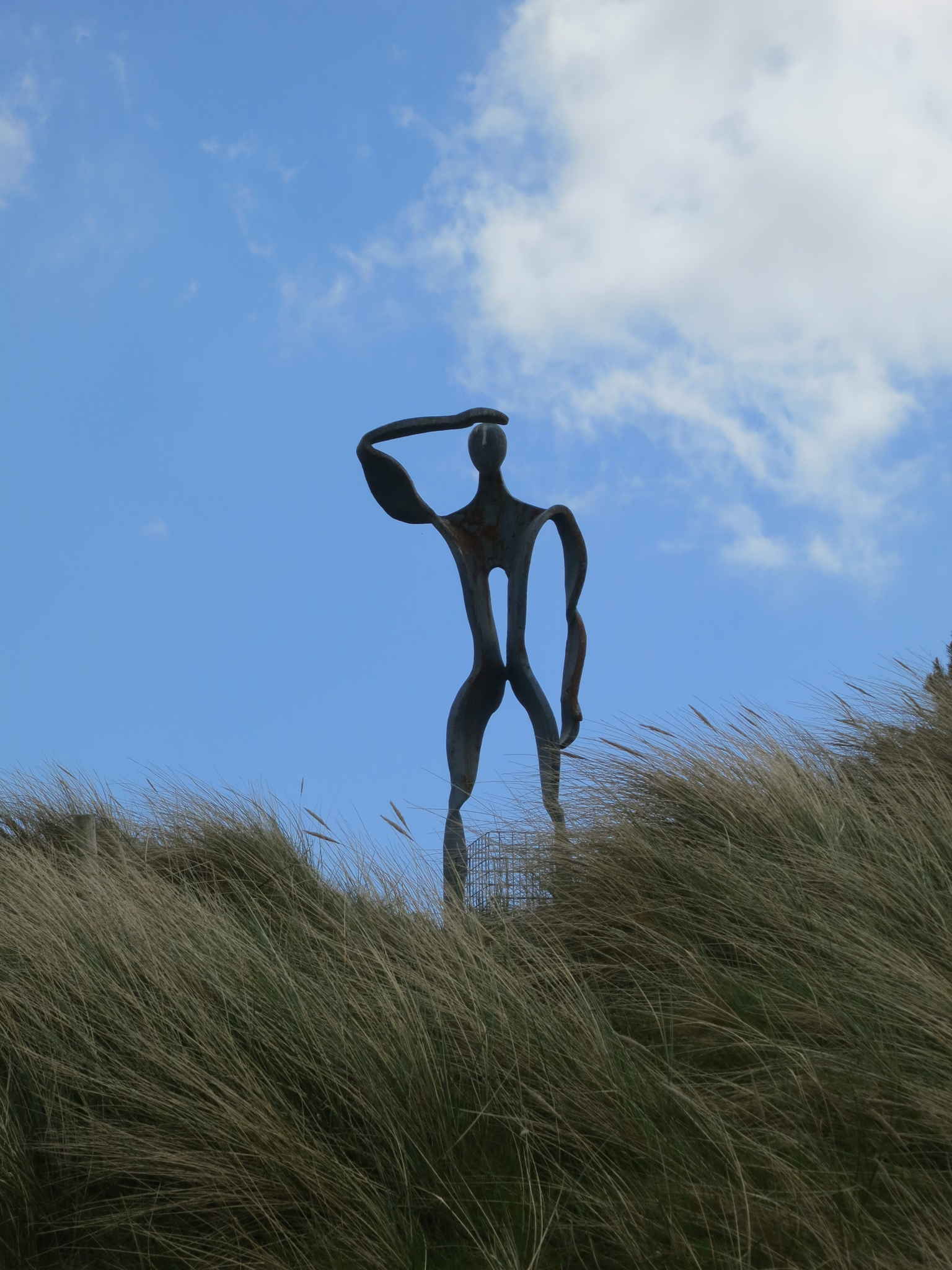
Just in case someone should be passing by while you are drowning
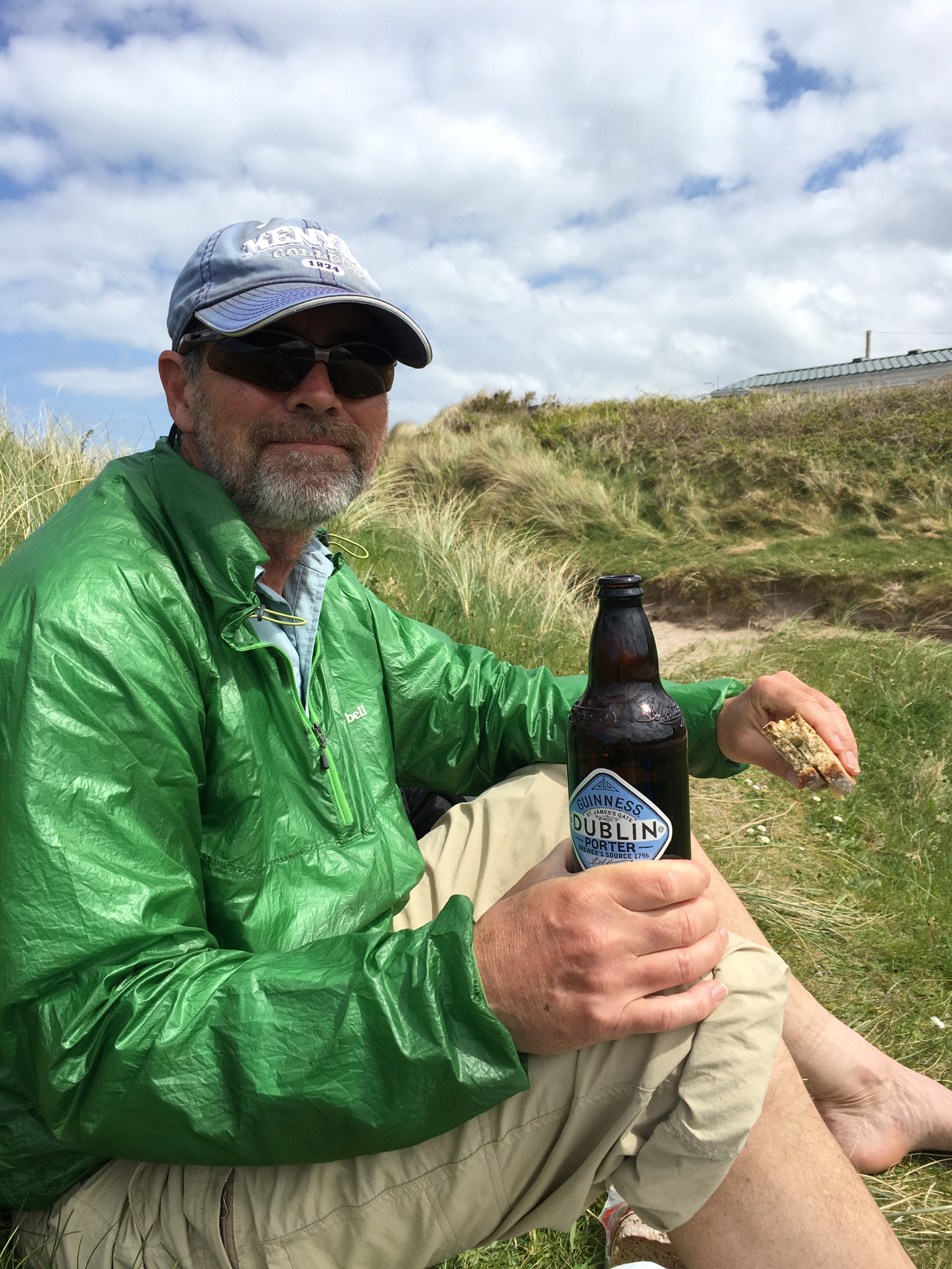
Lunch behind a dune and out of the wind: soda bread, cheese, sausage and porter.

Our exit from the beach for the short walk into Camp and the end of our journey.
This was a great hike. The terrain was beautiful, and the trails were not challenging, so that we could keep our eyes up and take in the lovely scenery. The weather was often terrible, but we expected that and it was just part of the adventure. Knowing that you are going to sleep in a warm soft bed after eating and drinking at a cozy pub makes it pretty easy to endure a few squalls. Although some of the hikes were a bit longer than Cathy would have preferred, I think we can definitely do this sort of trip again.
You can hike the Dingle Way on your own, but we hired Hillwalk Tours to take care of the logistics – they provided detailed maps and directions, reserved the lodgings and arranged for our luggage to be transported between stops. Everything went smoothly and was exactly as promised and I thought their prices were pretty reasonable.