
at 37.8480, -107.4456
Back to the trail, back to the rain. The forecast, as usual, is for two days of rain followed by a clearing trend. The first part of the forecast has been entirely reliable.
Left the Ravens Rest Hostel early this morning, thanks to a lift from April/Bearclaw, hoping to make the CT high point before the storms did. The 15 miles to the 13272′ saddle rolled by quickly, but the last half mile was hiked in the rain. Fortunately there was no thunder and lightning.
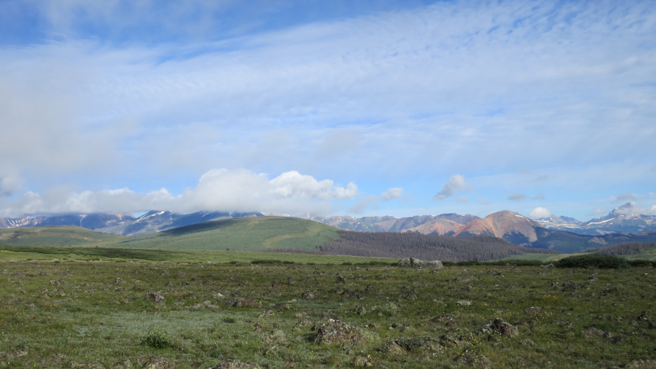
mile 360 – Jarosa Mesa
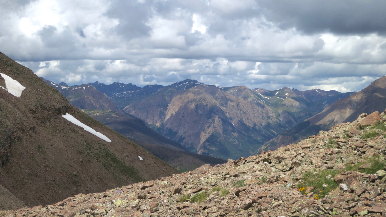
The trail is all above timberline now and the views are spectacular when not shrouded by rain clouds.
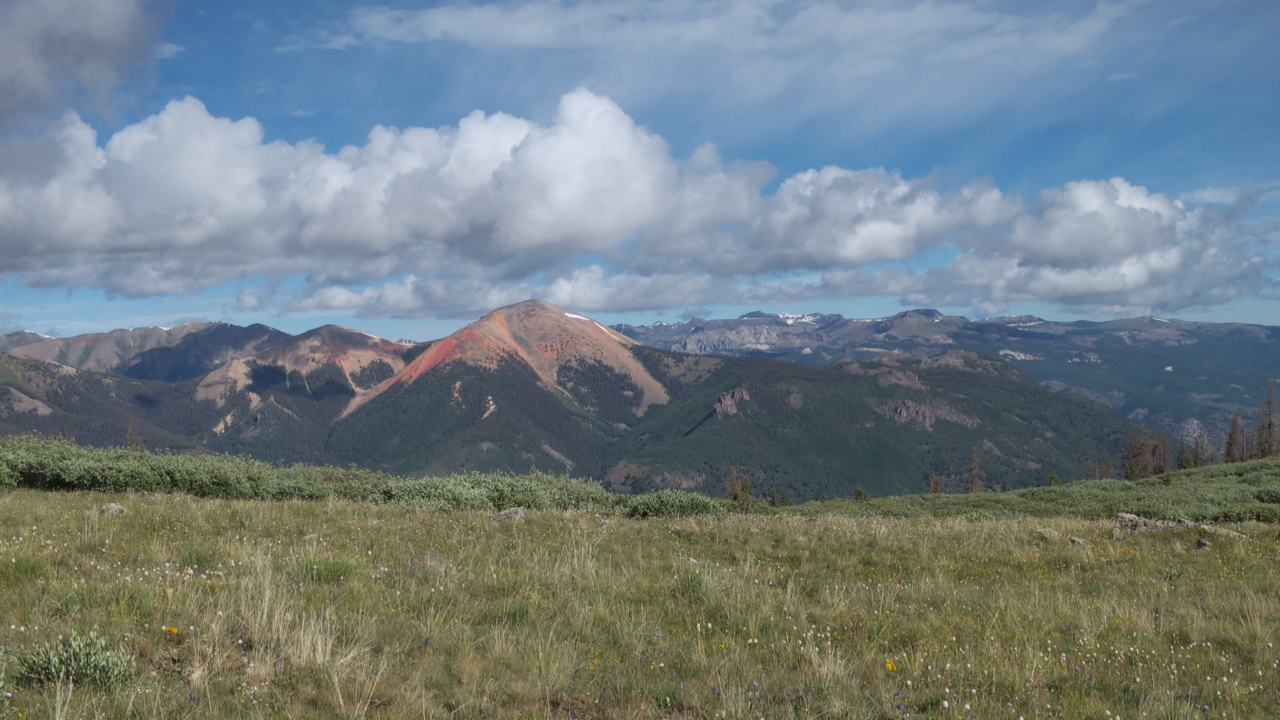
Mile 362 – Red Mountain. Not sure why it’s called that.
I write a lot about the weather, but this is almost inevitable when backpacking, especially above timberline. There is nothing between you and the sky. You are utterly exposed, and the sky determines what sort of day you will have: head down and slogging through the cold and the wind and the rain, or head up and strolling along the top of the continent. It’s all walking, but strolling is a lot more pleasant than slogging.
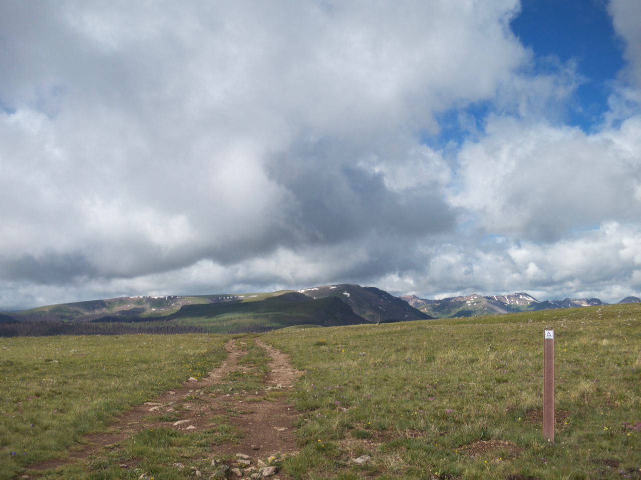
mile 363 – another storm rolling in
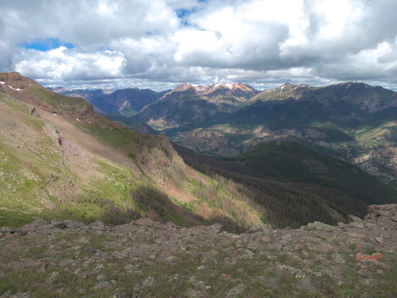
mile 368
mile 371